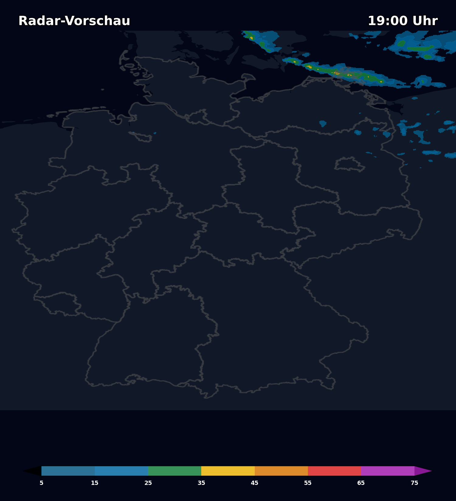
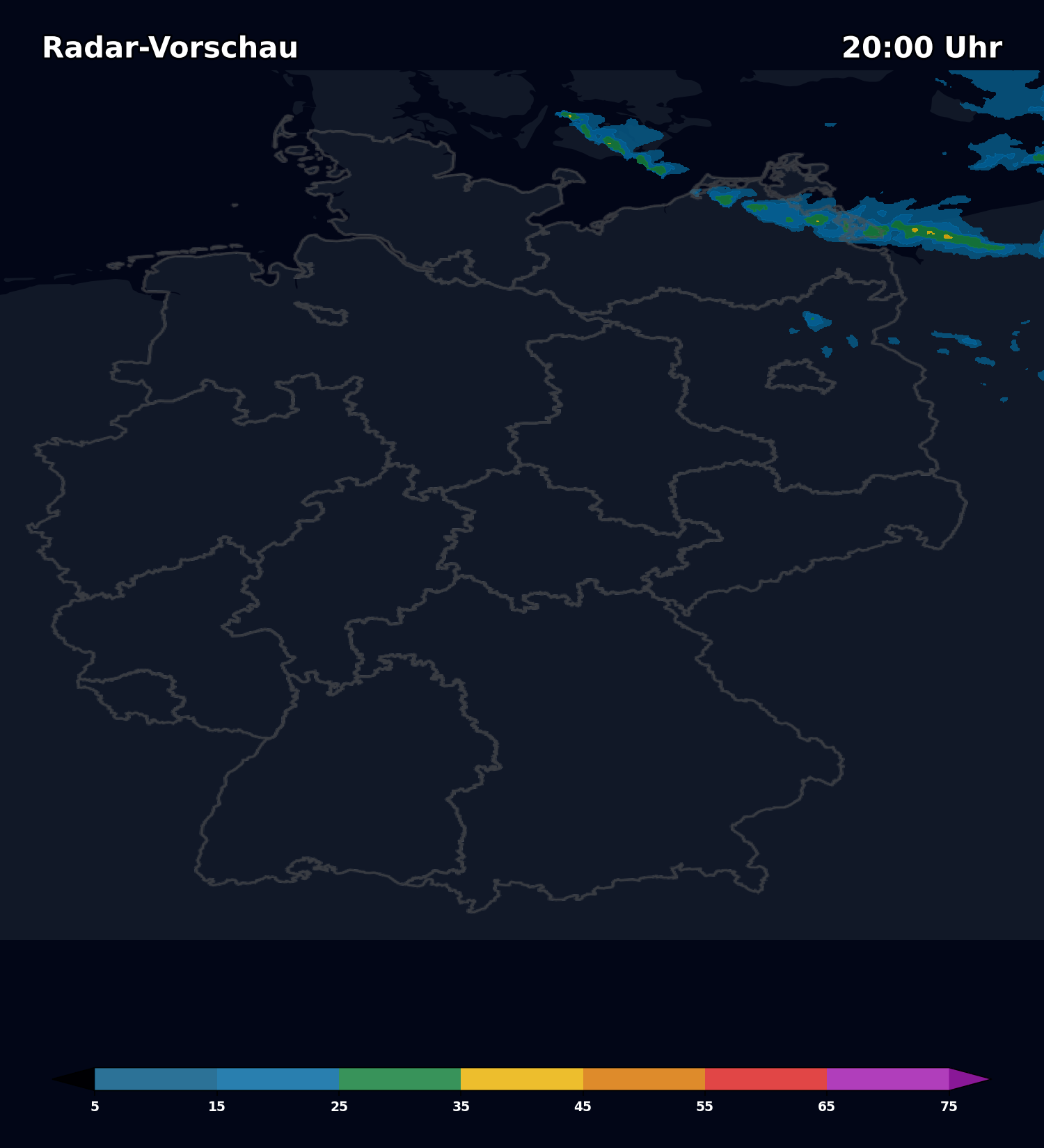
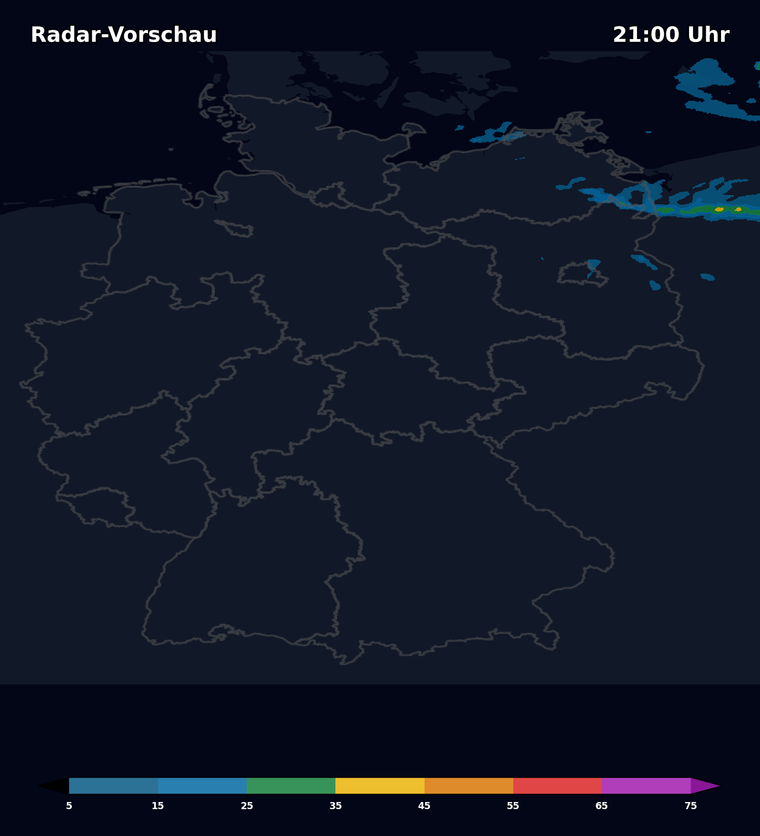
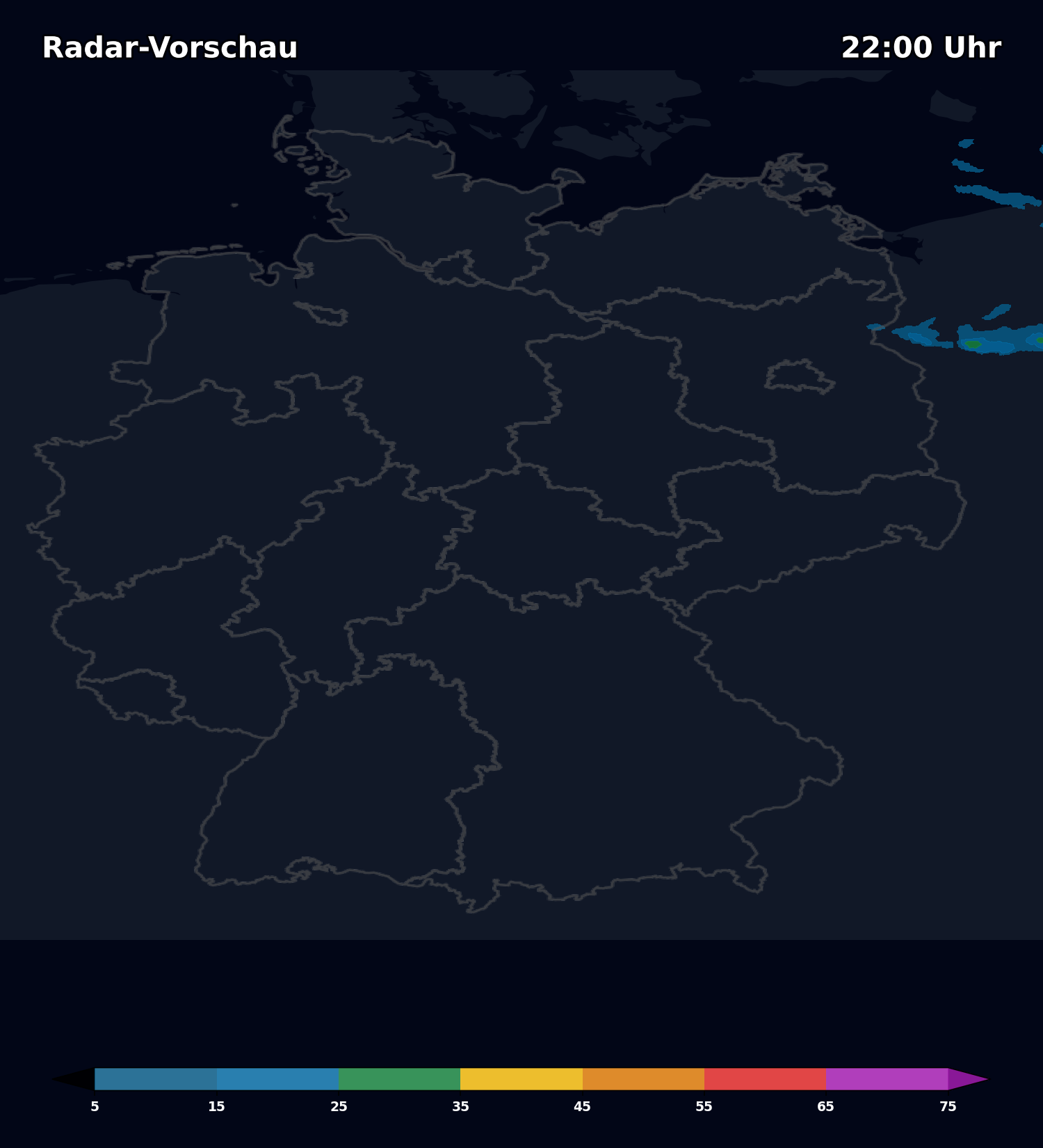
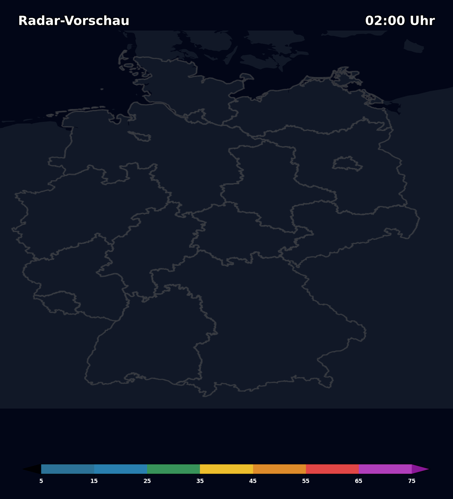
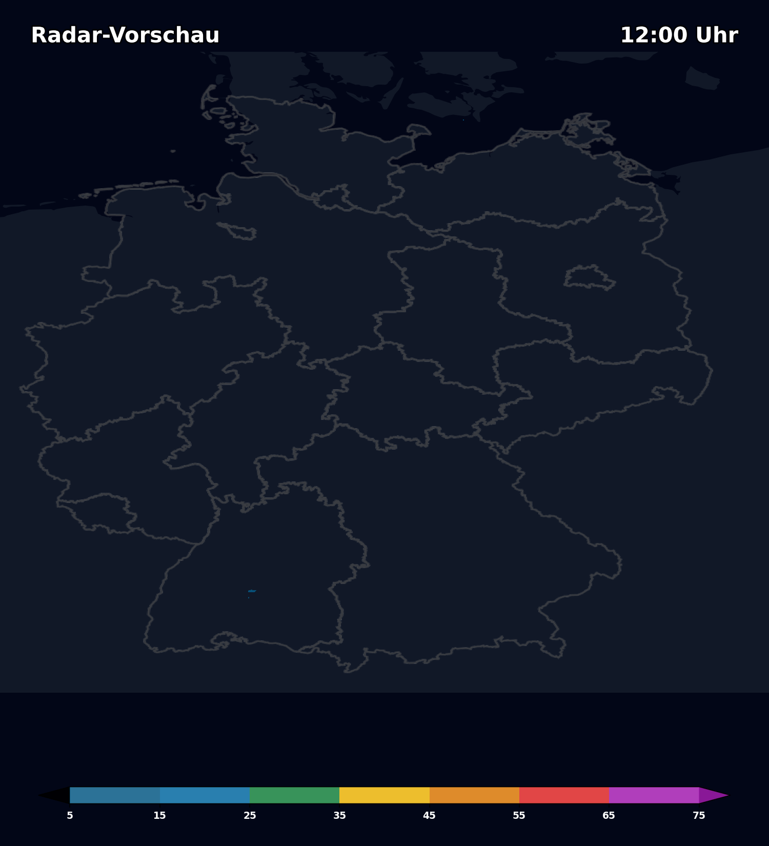
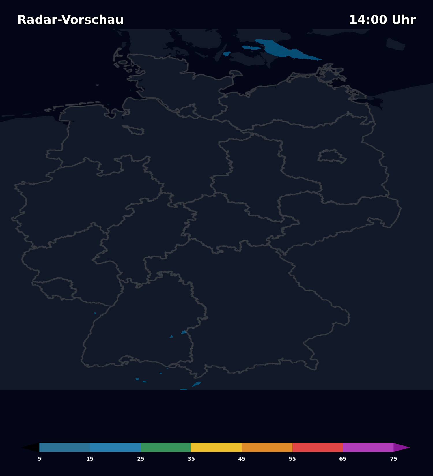
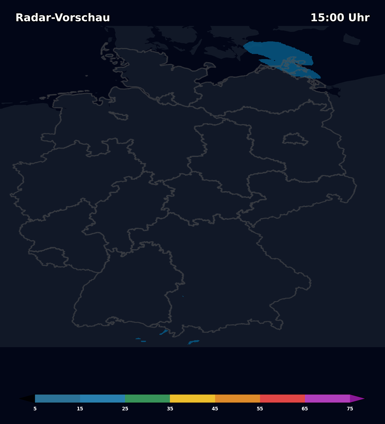
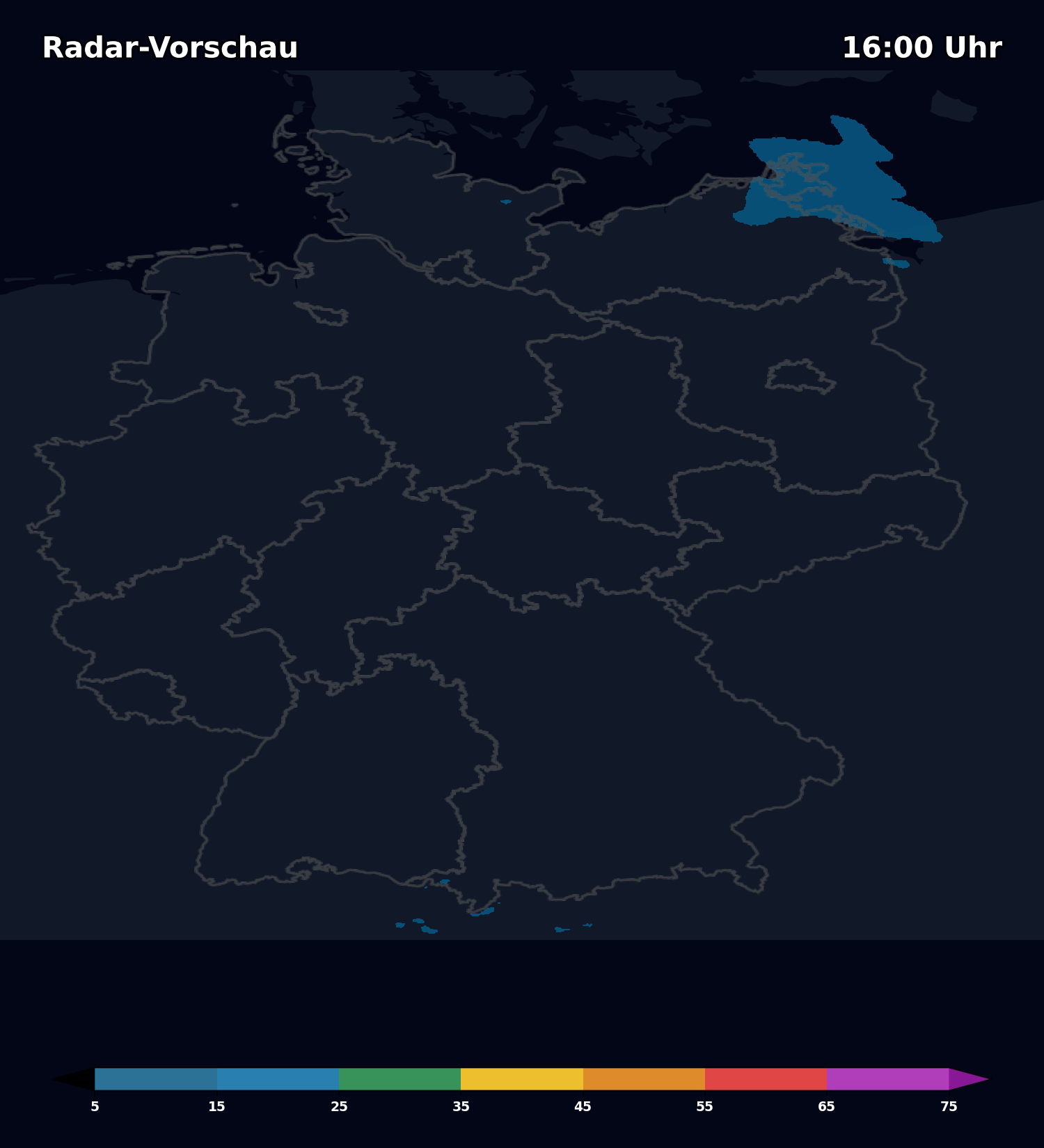
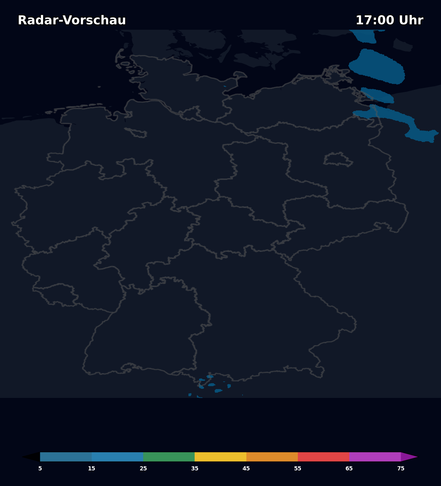
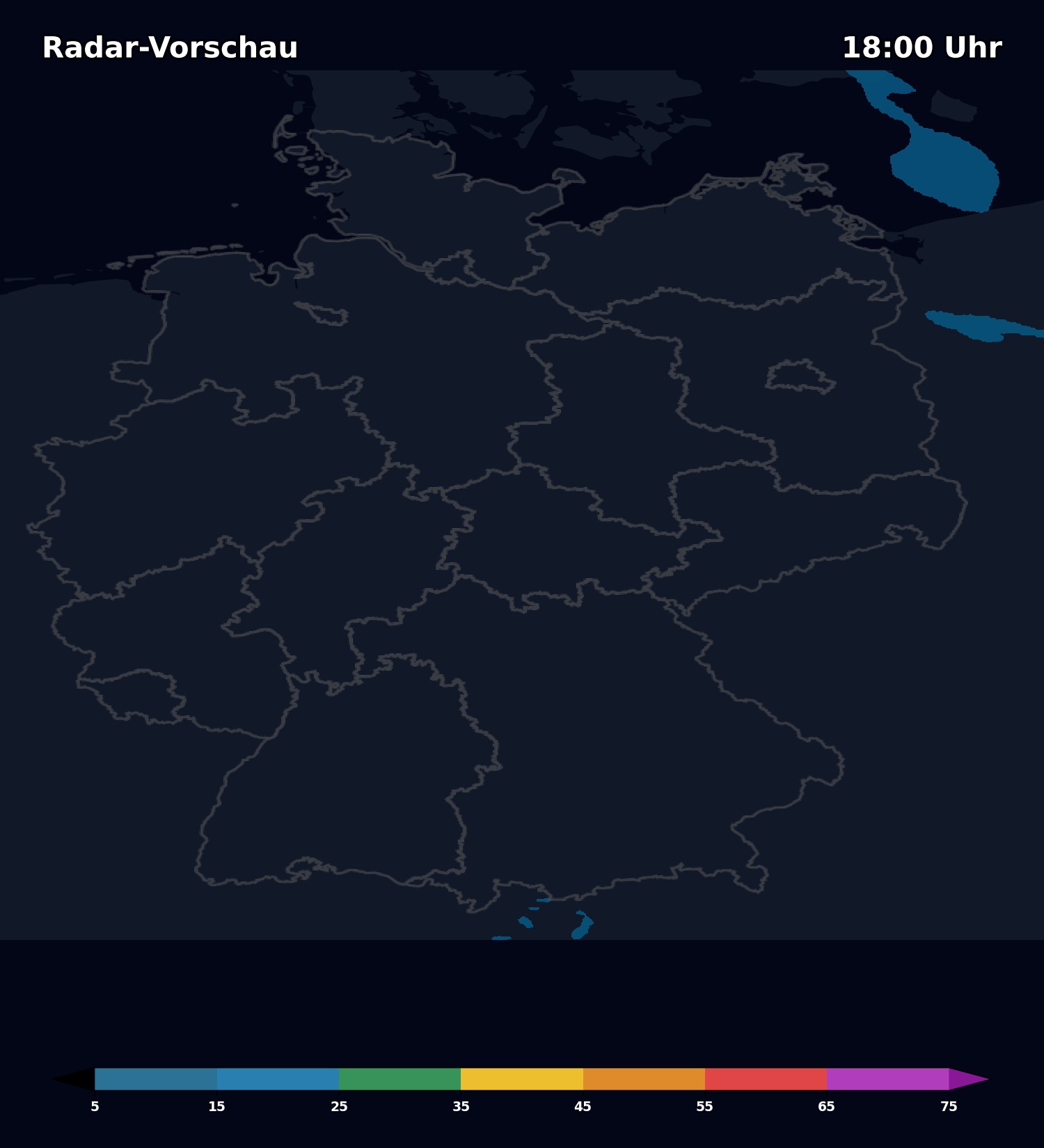
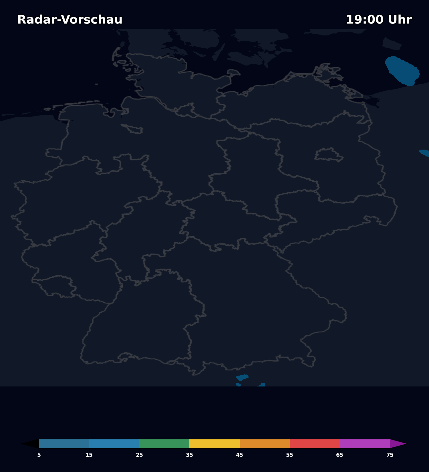
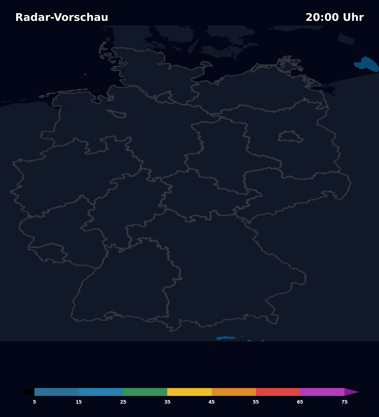
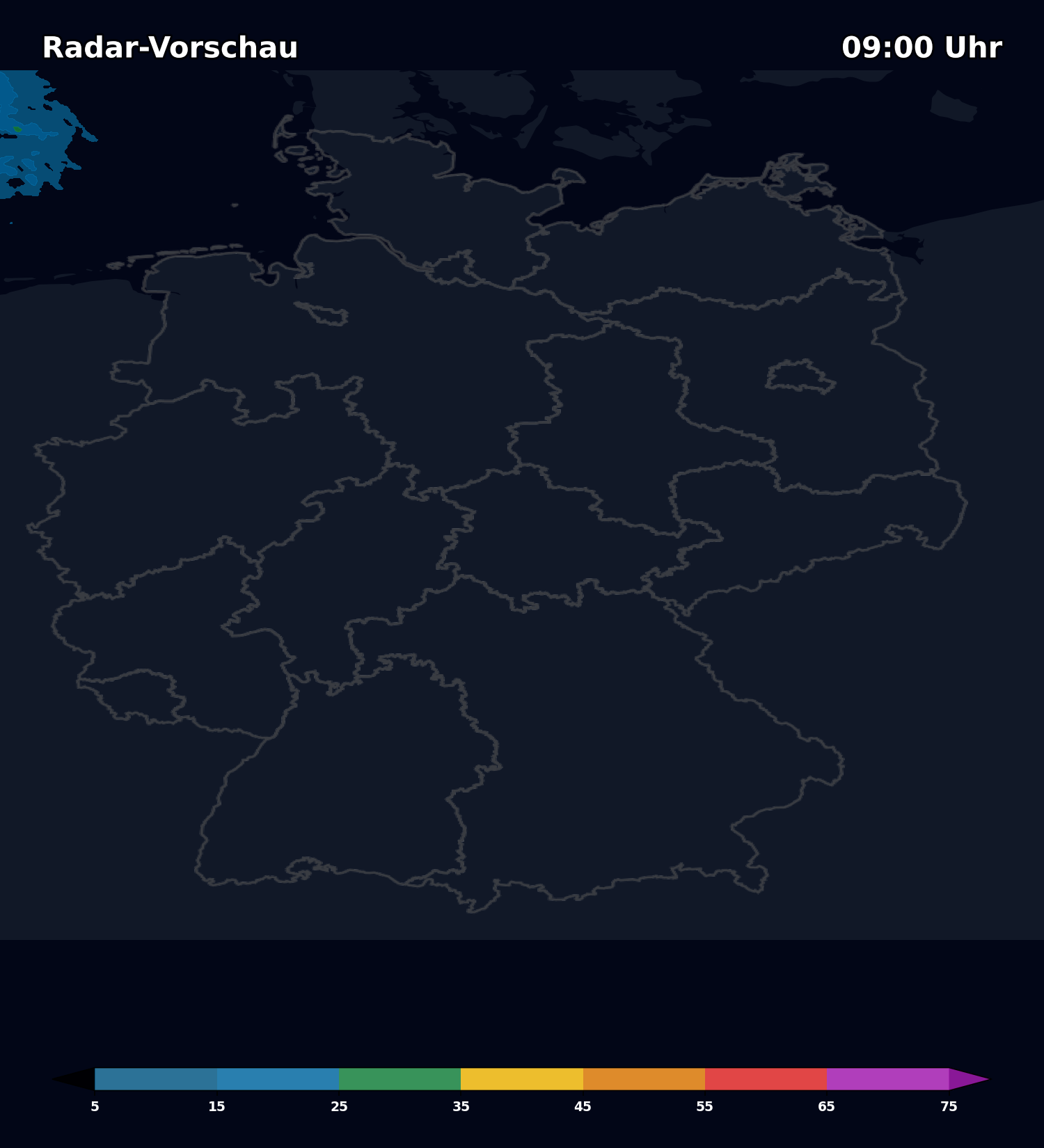
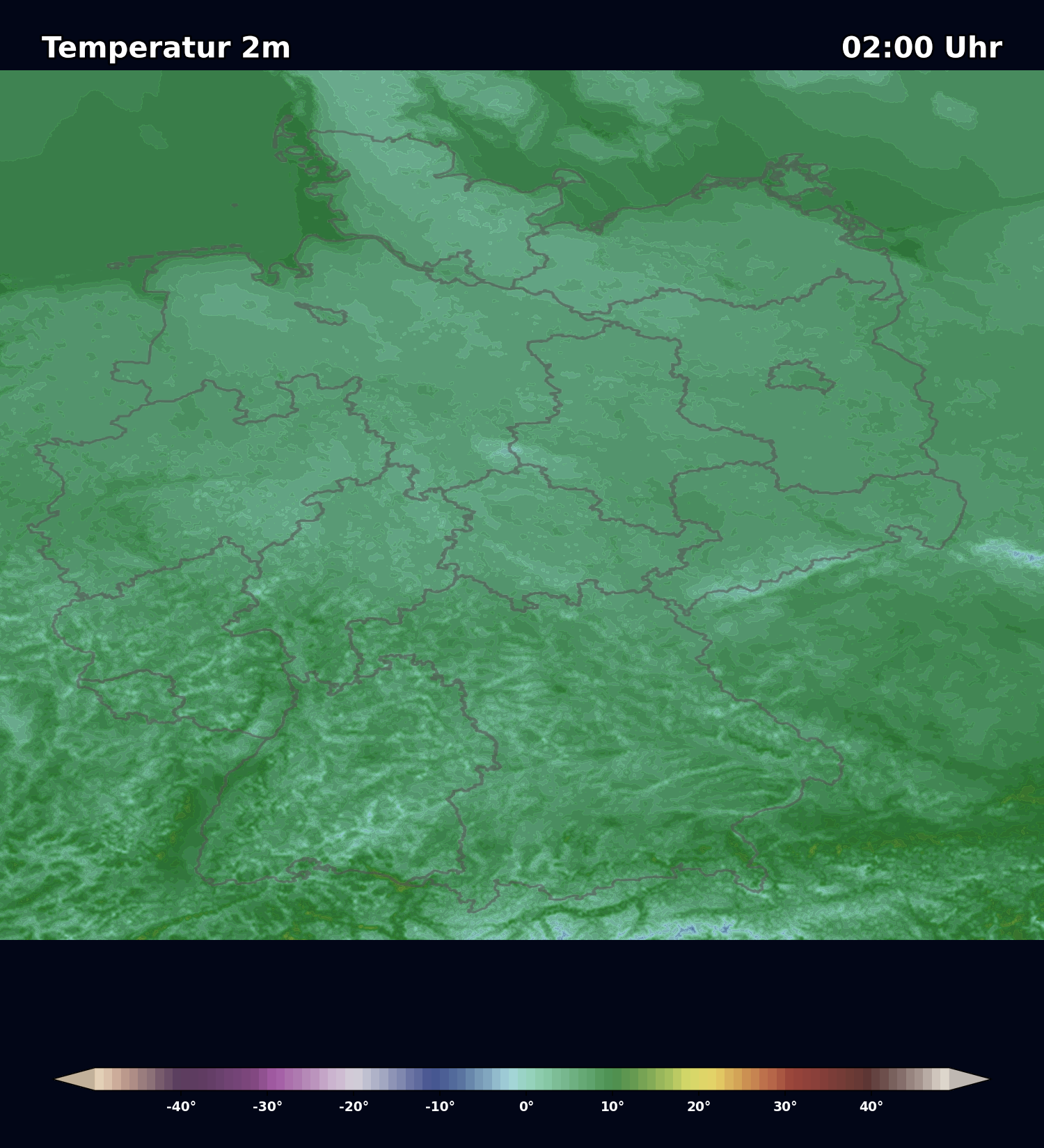
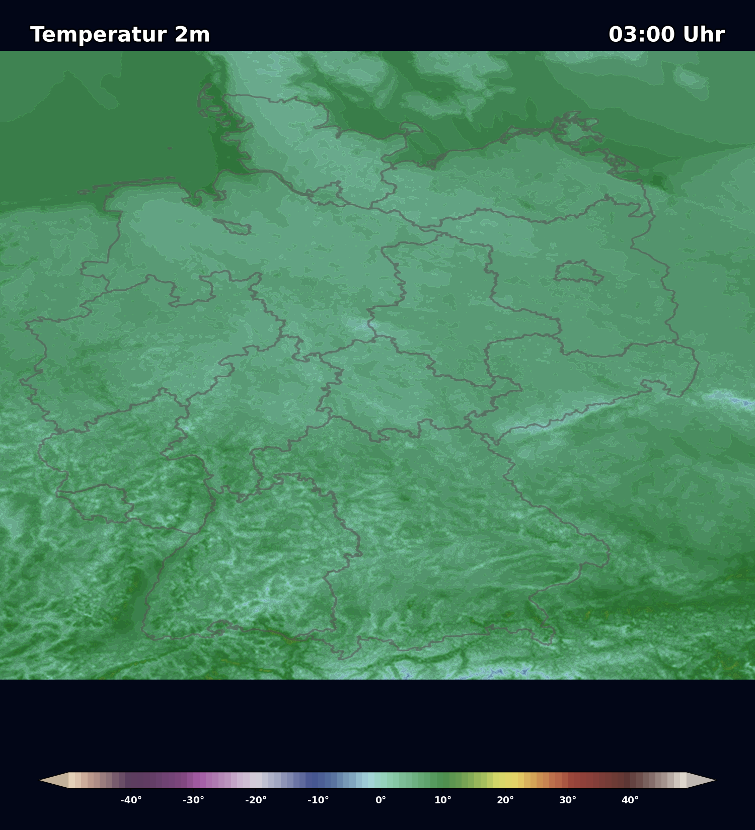
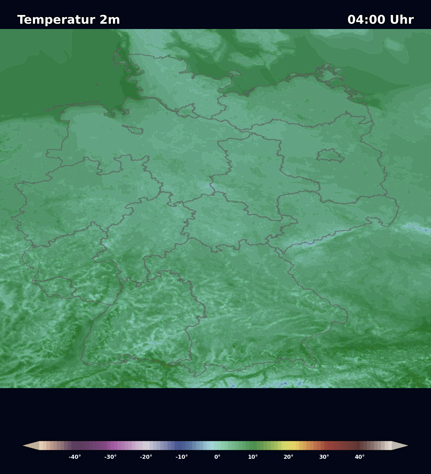
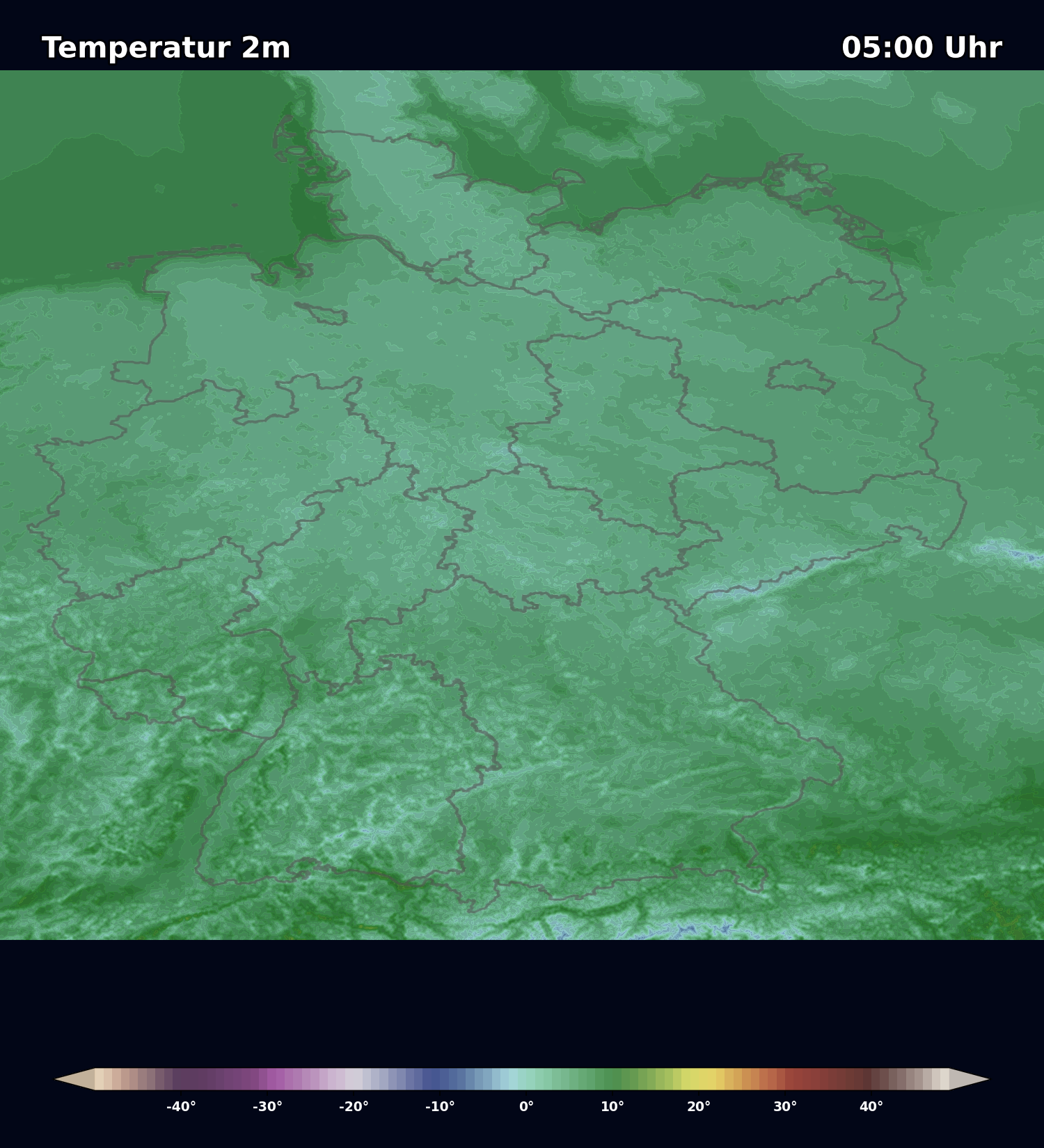
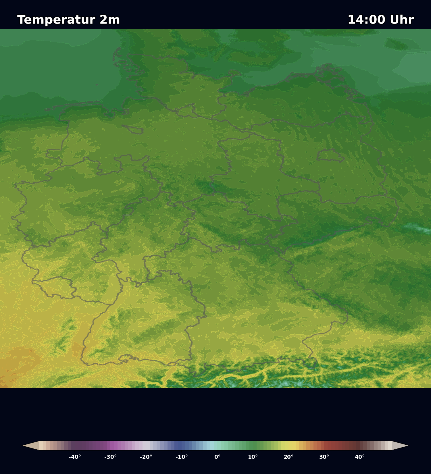
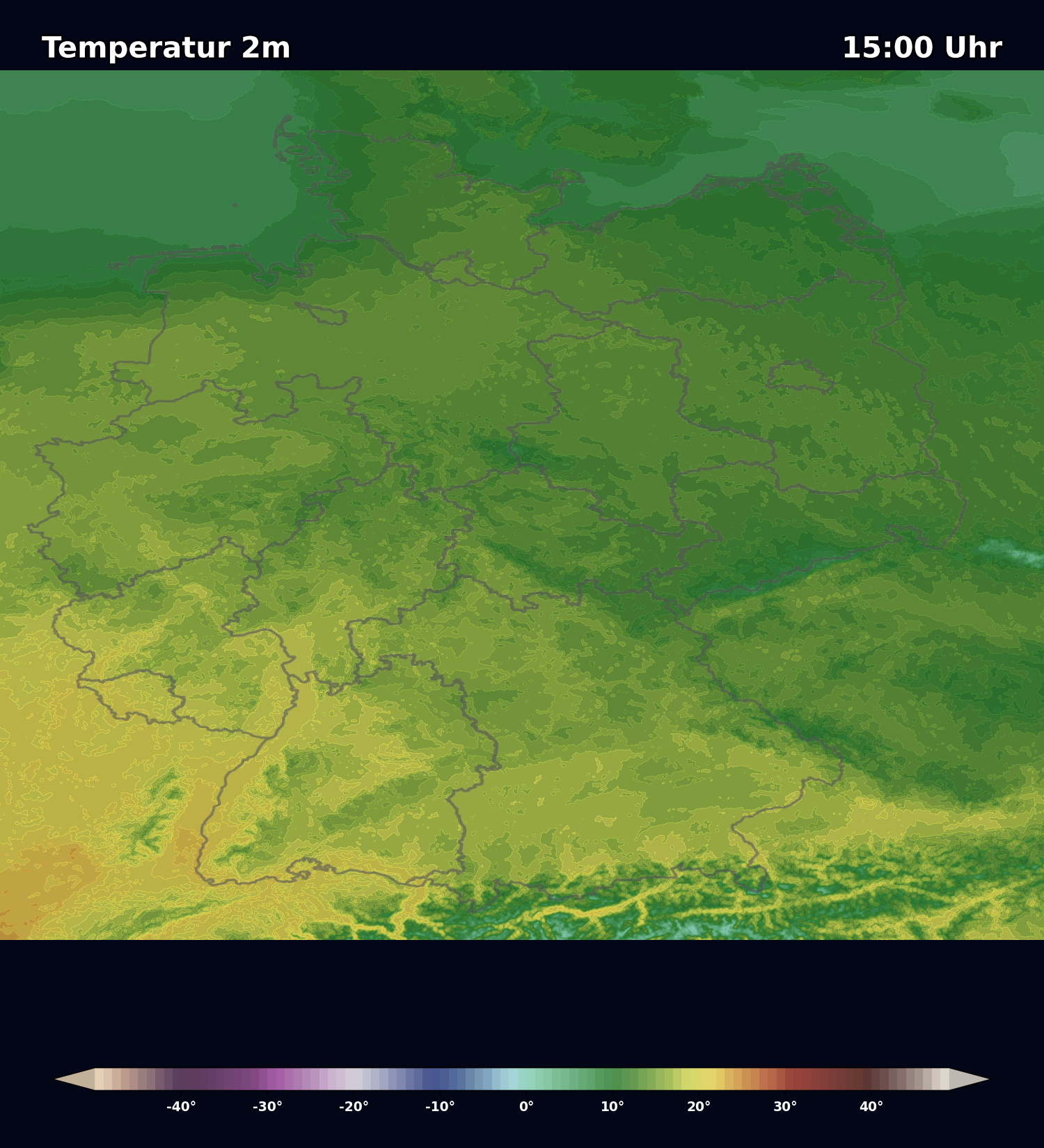
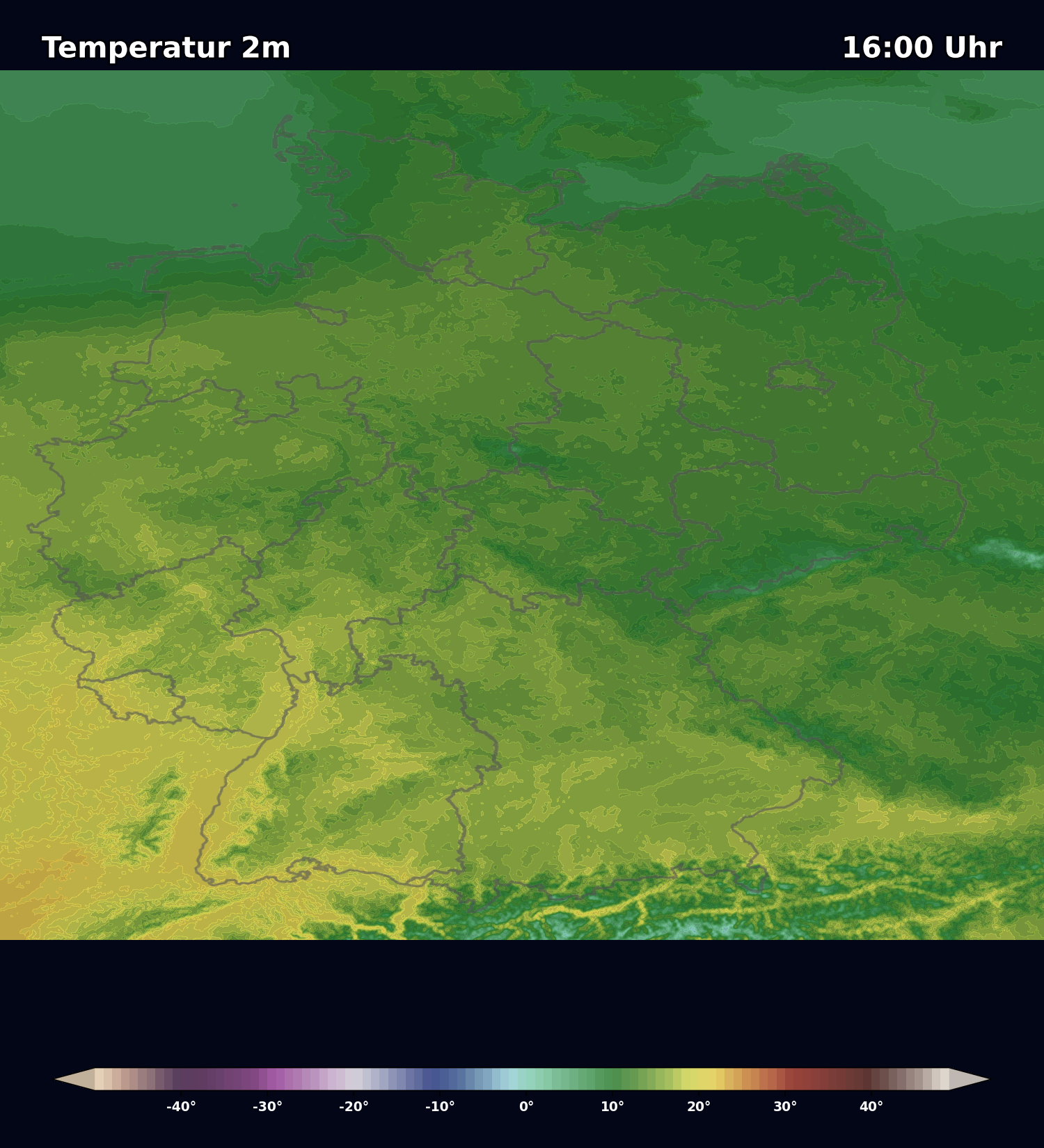
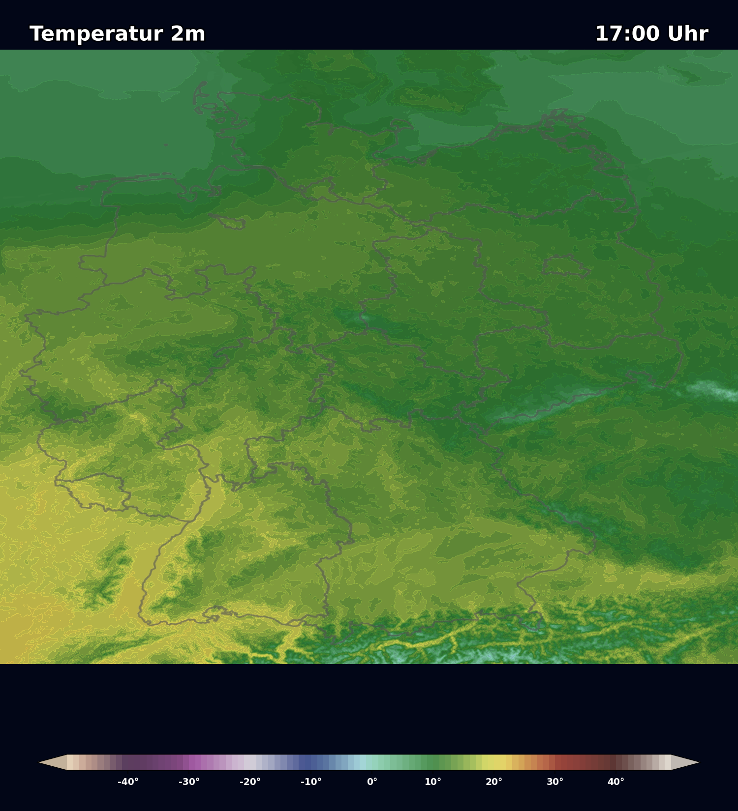
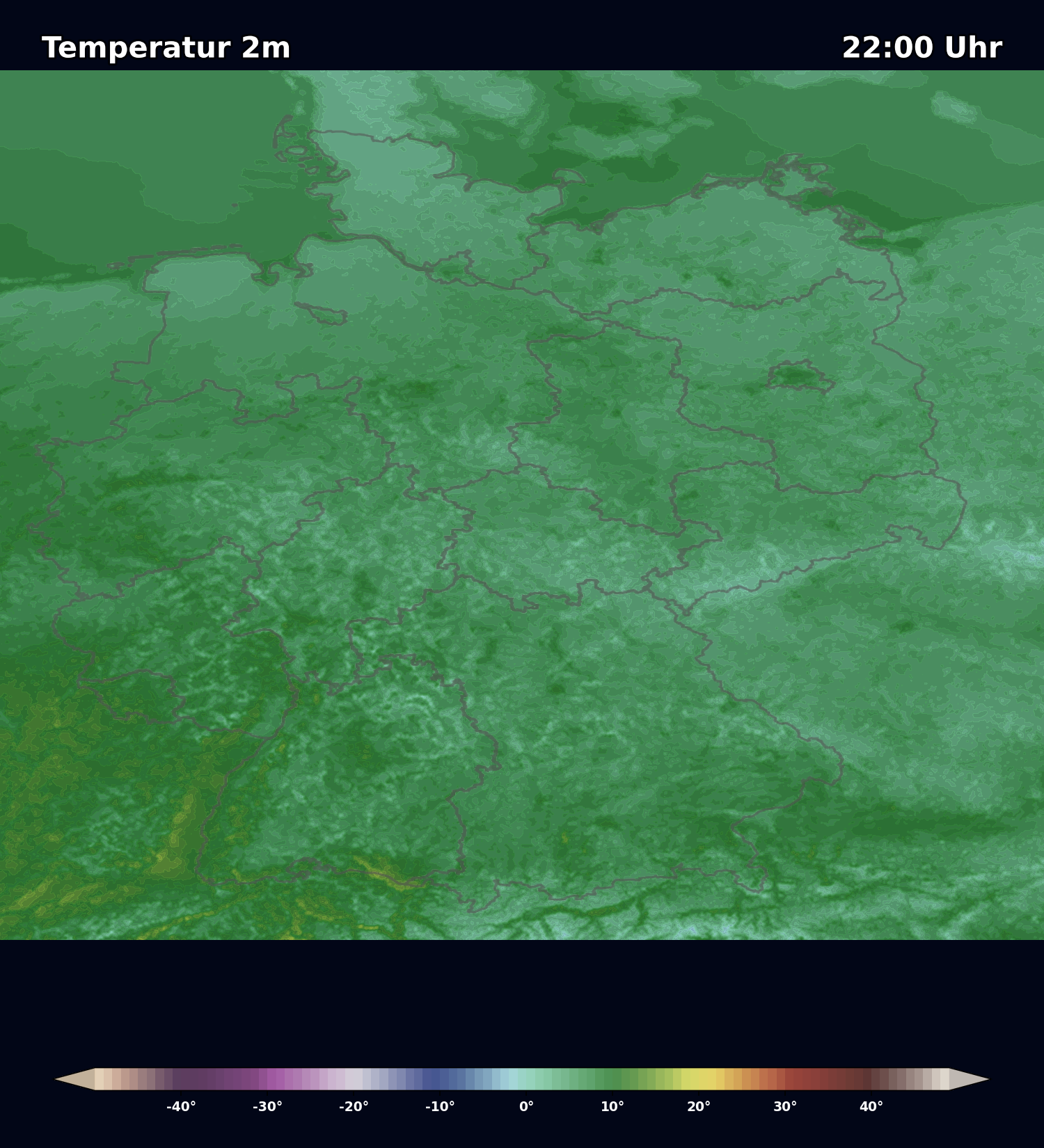
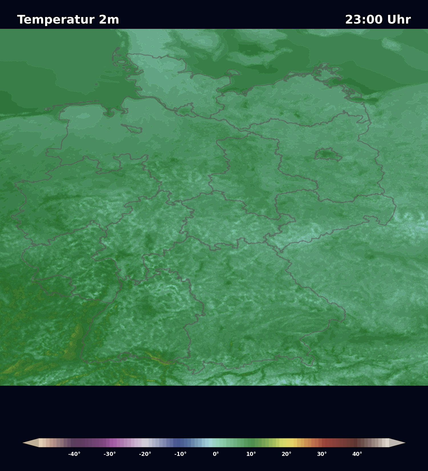
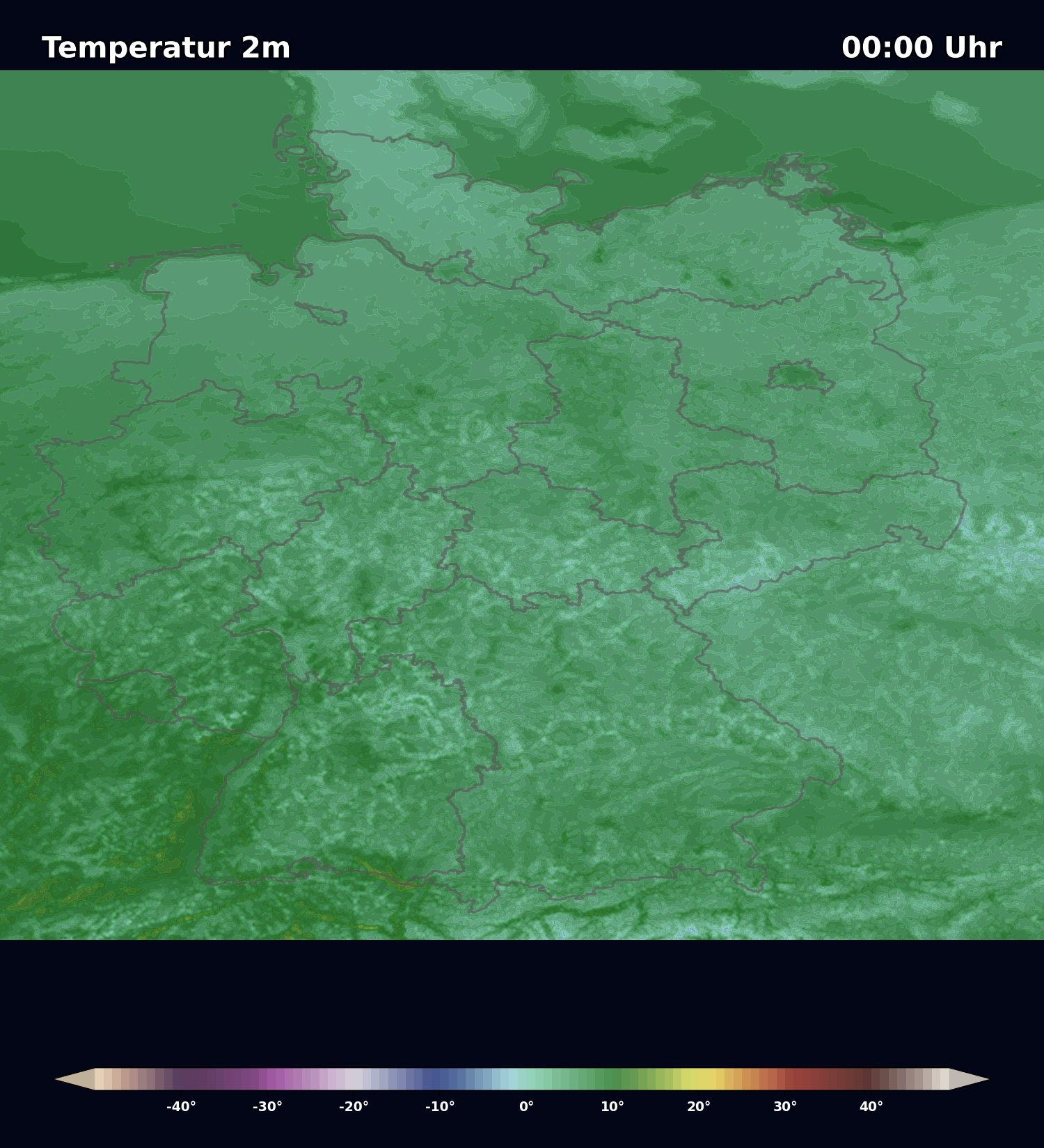
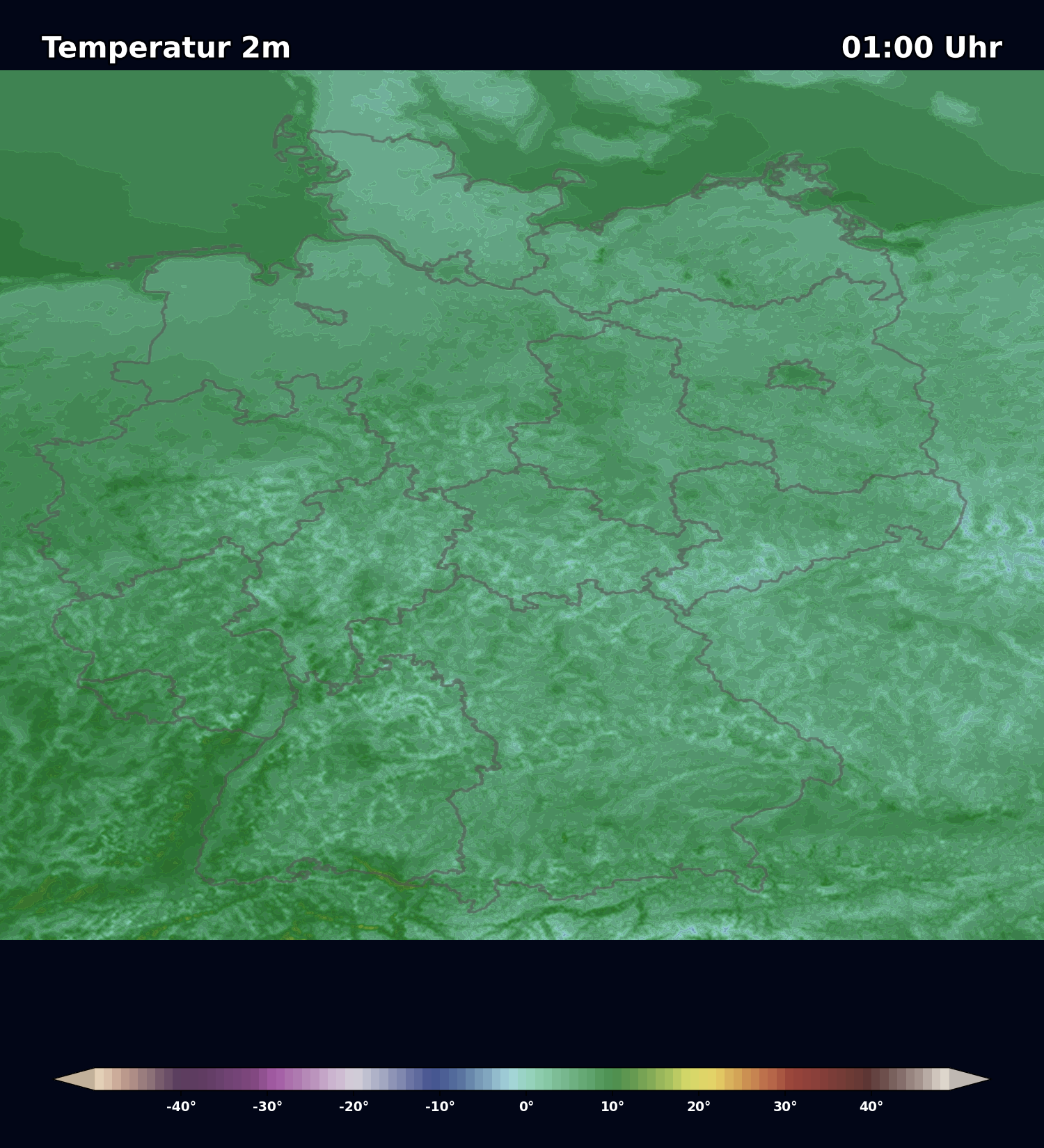
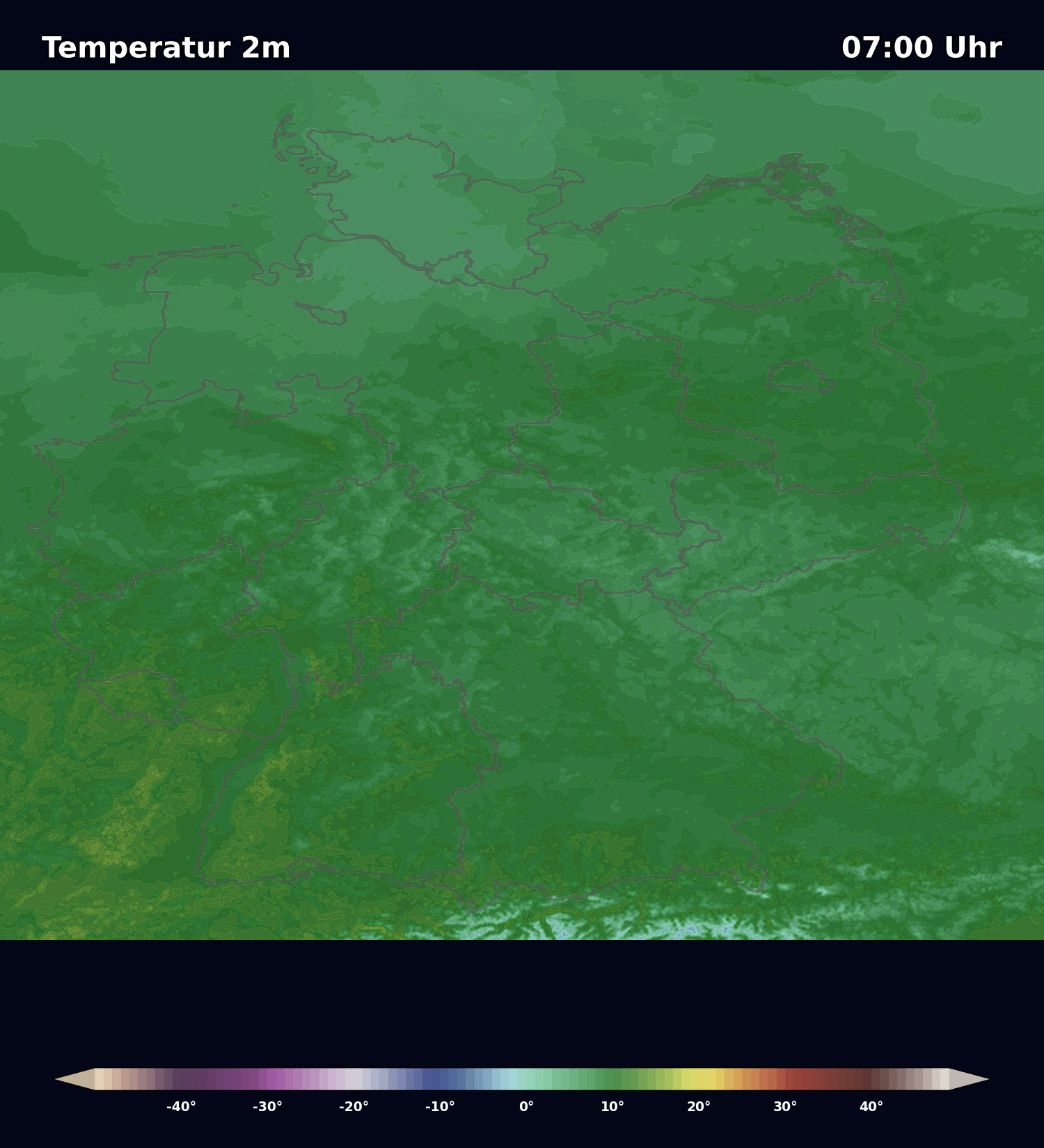
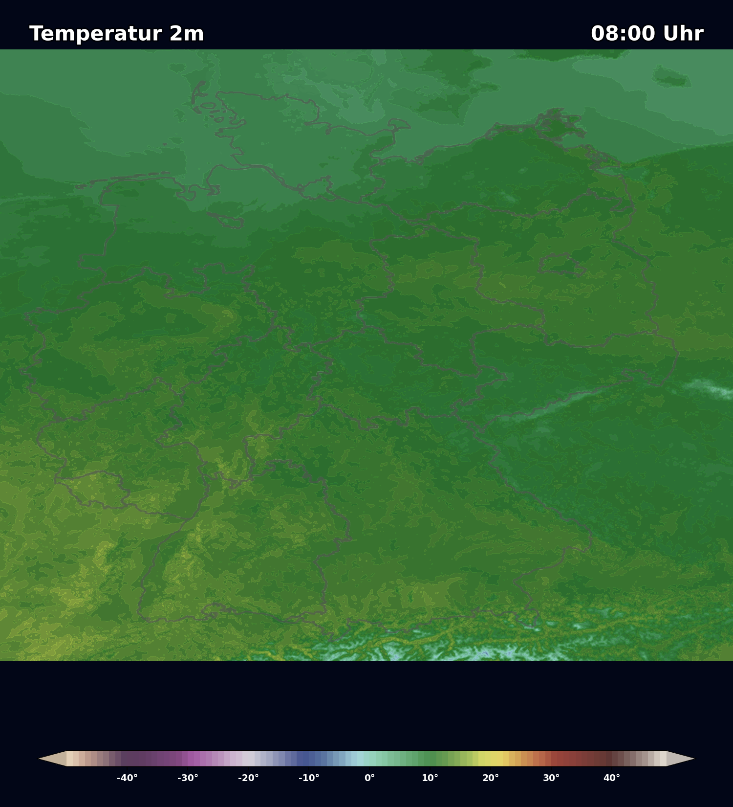
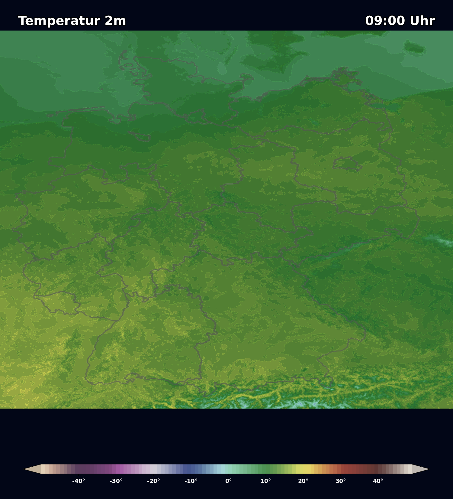
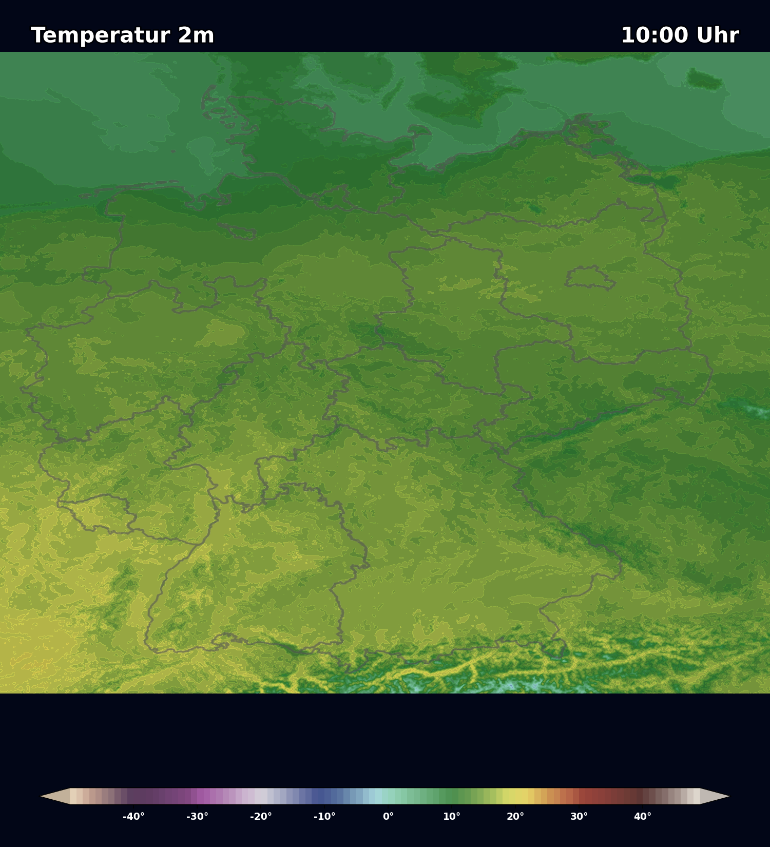
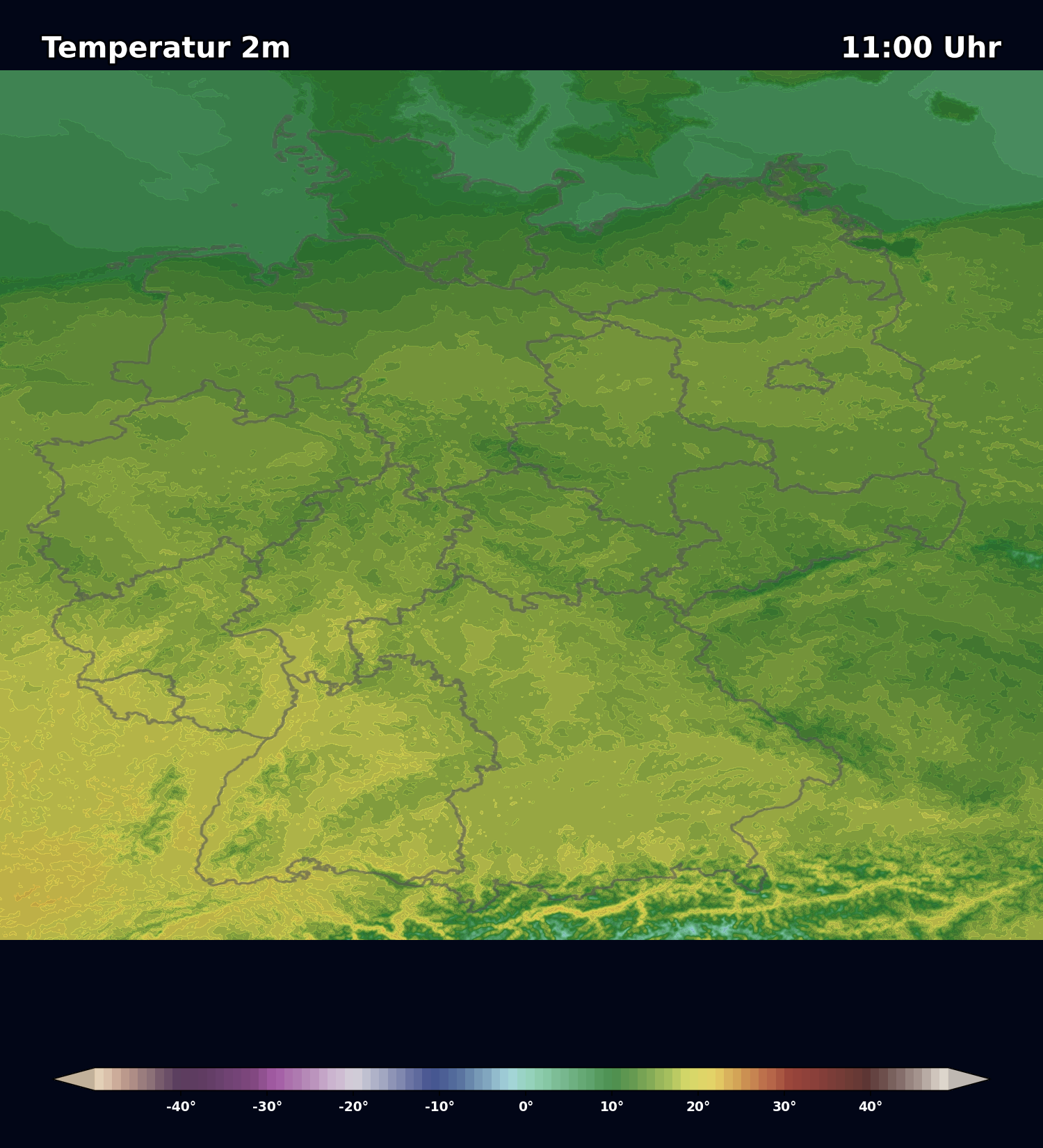
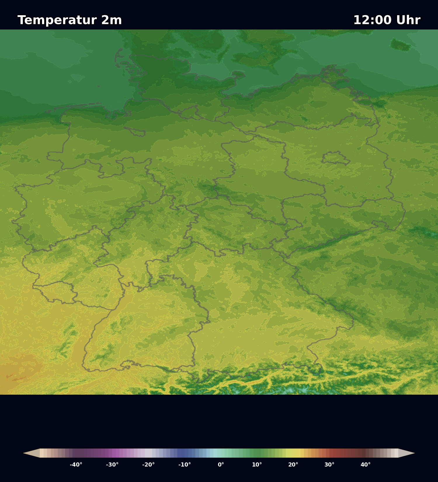
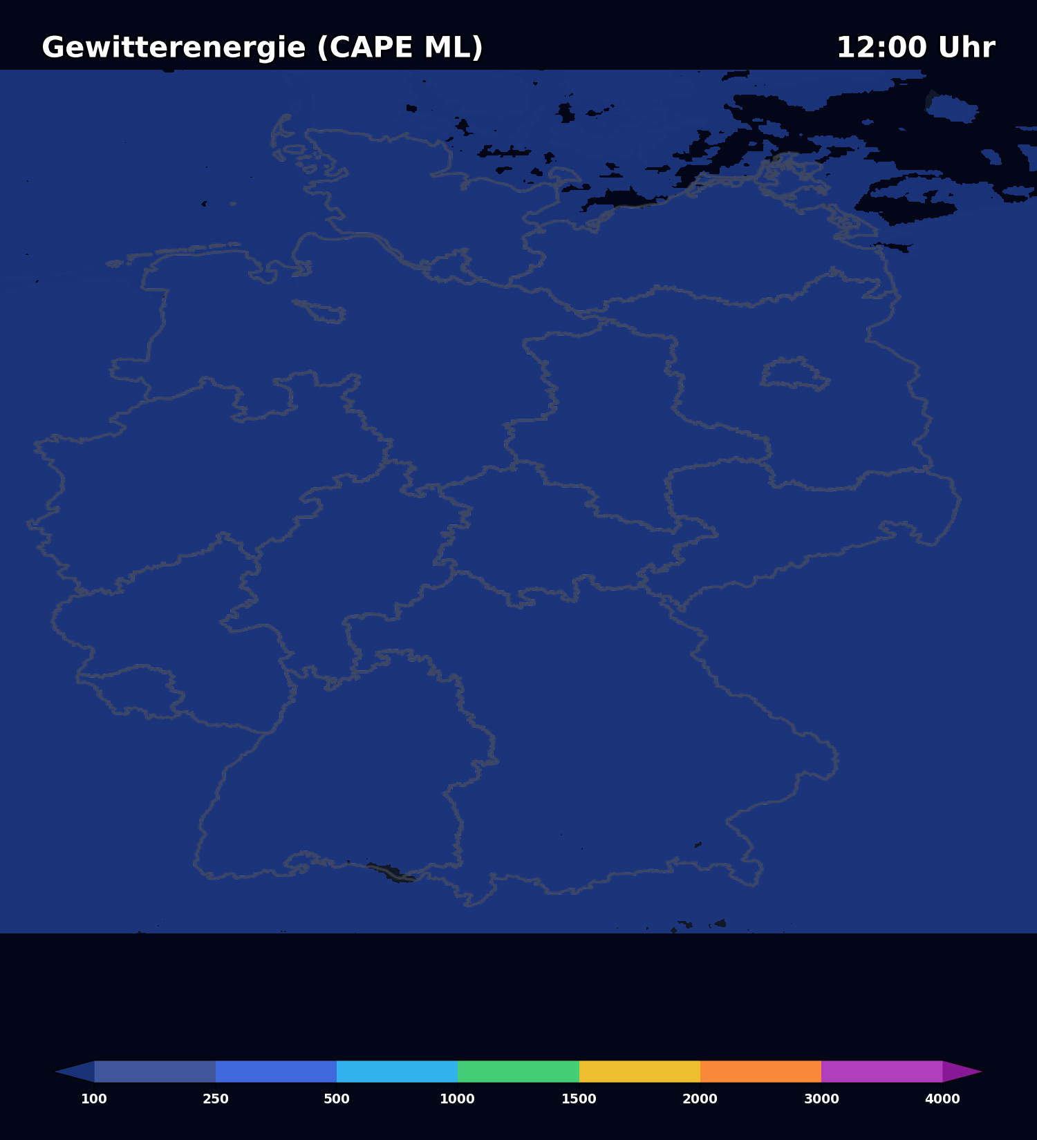
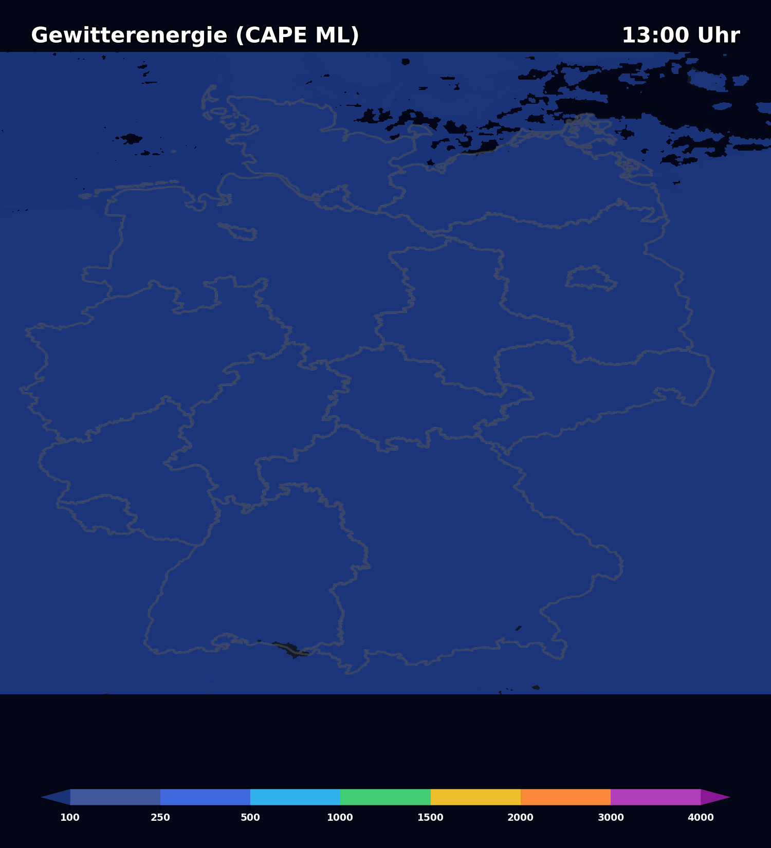
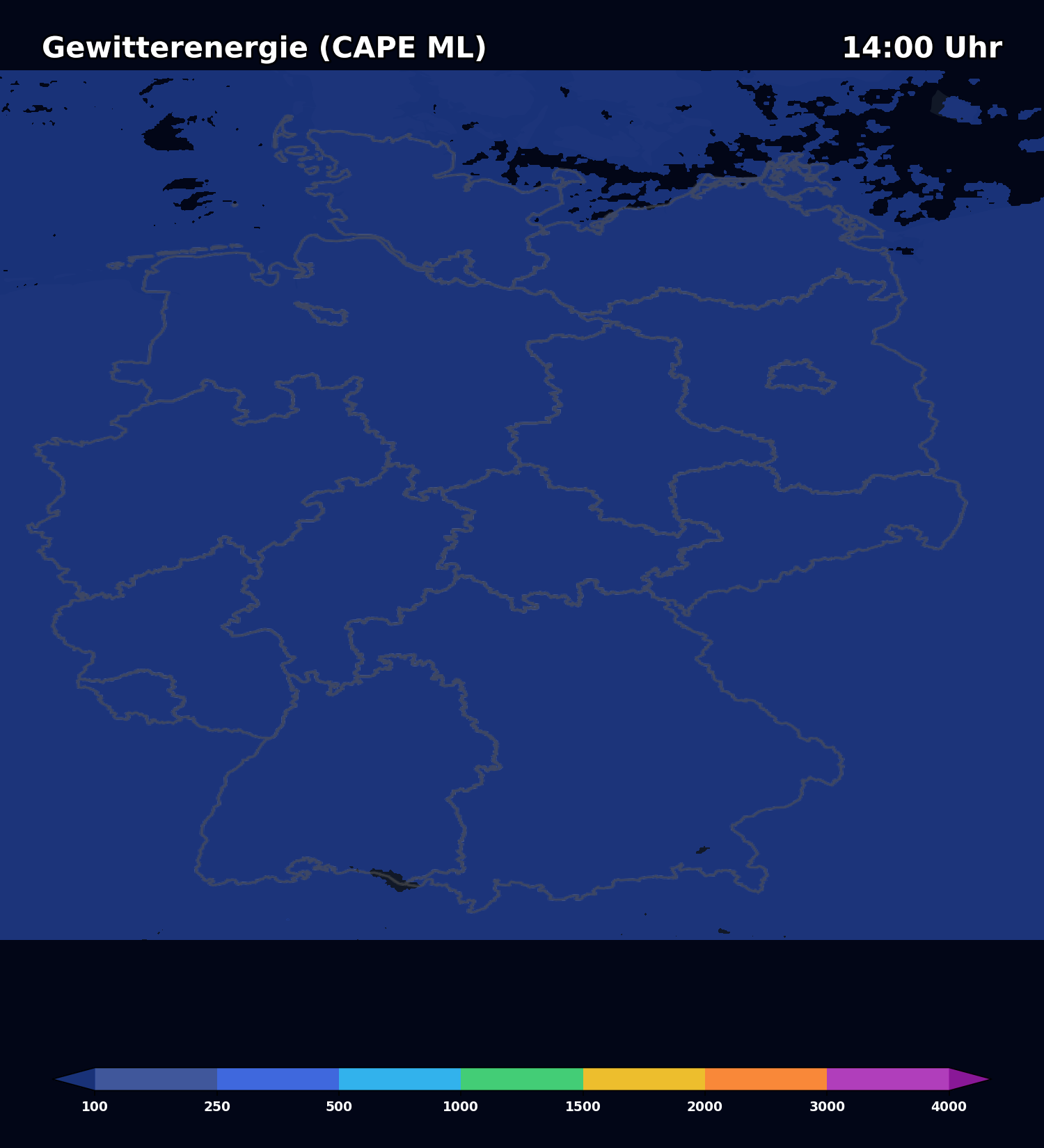
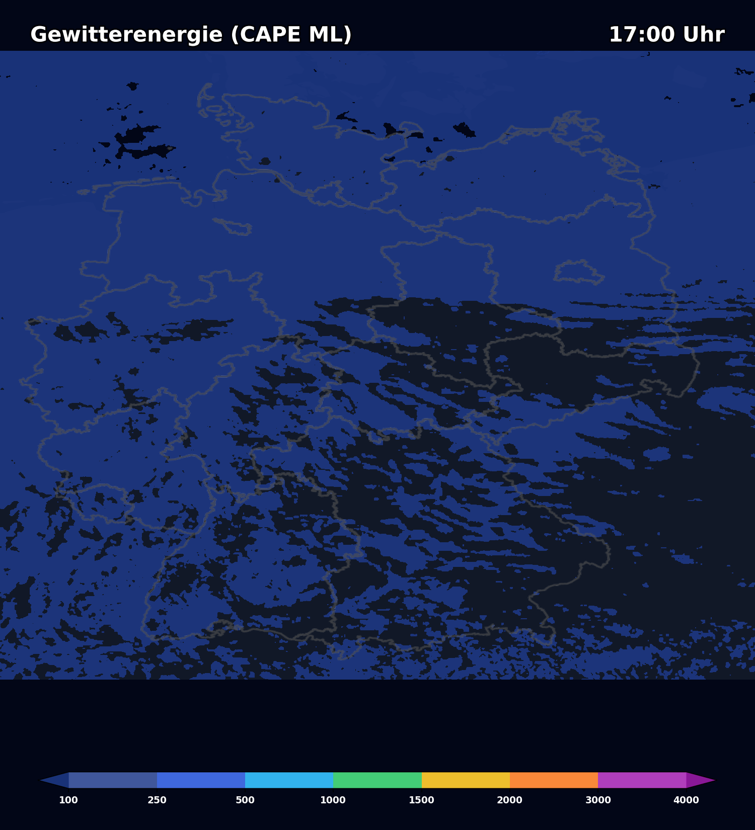
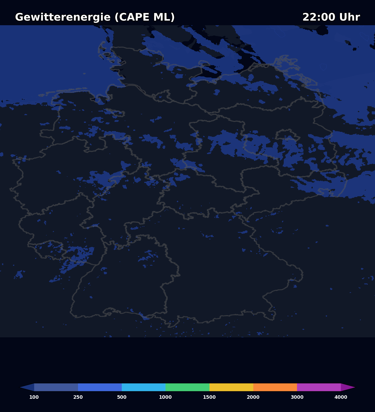
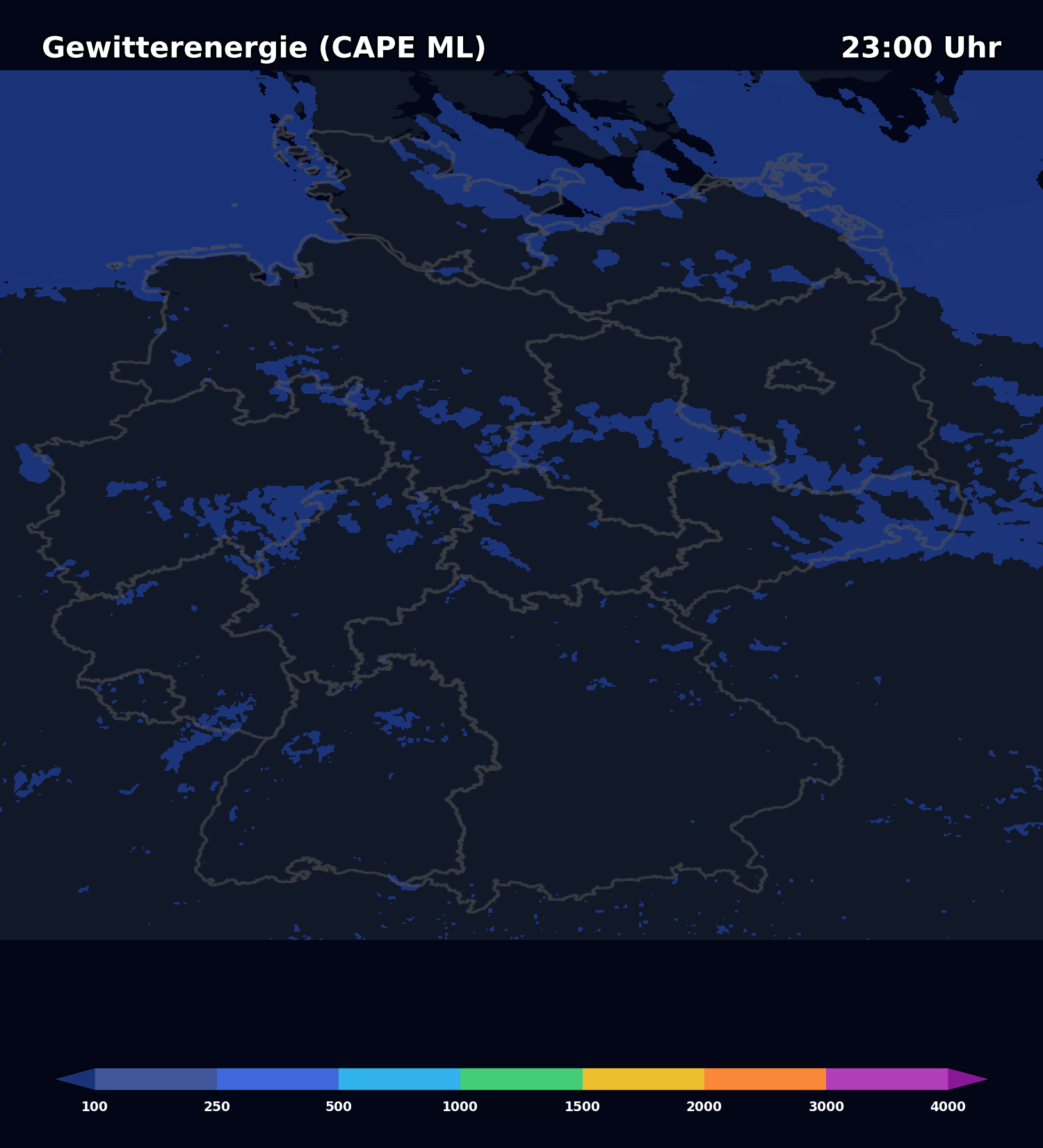
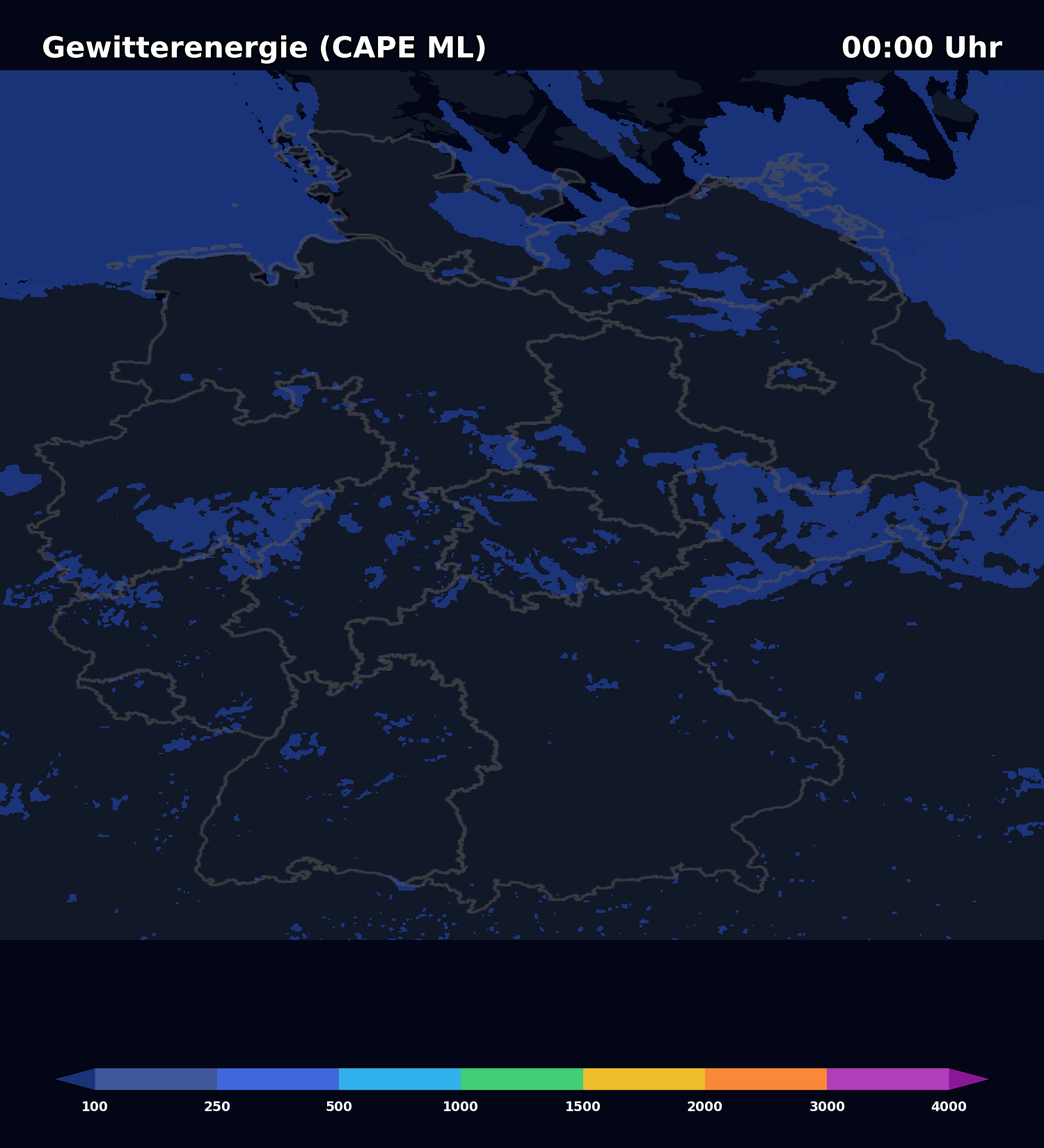
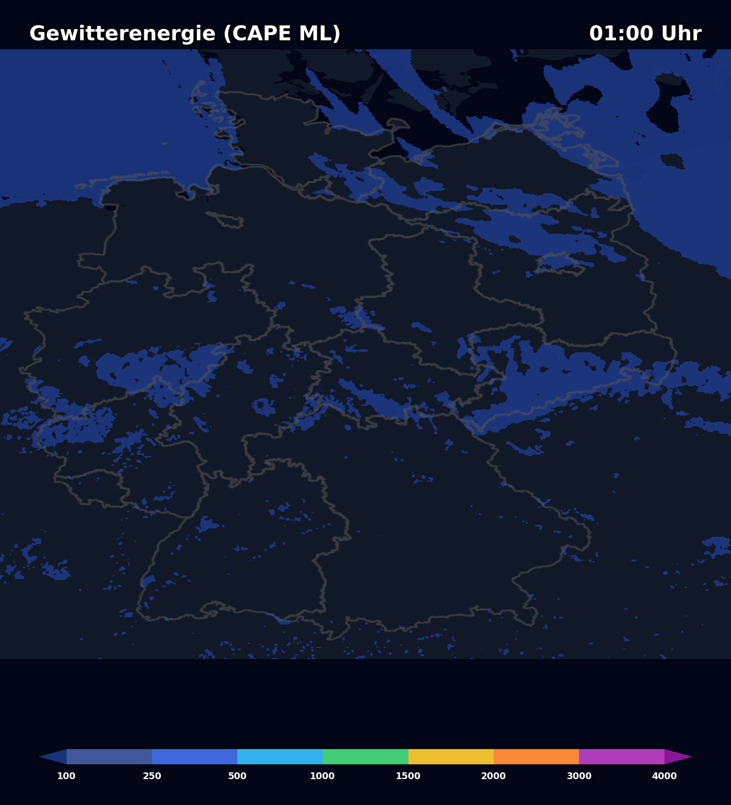
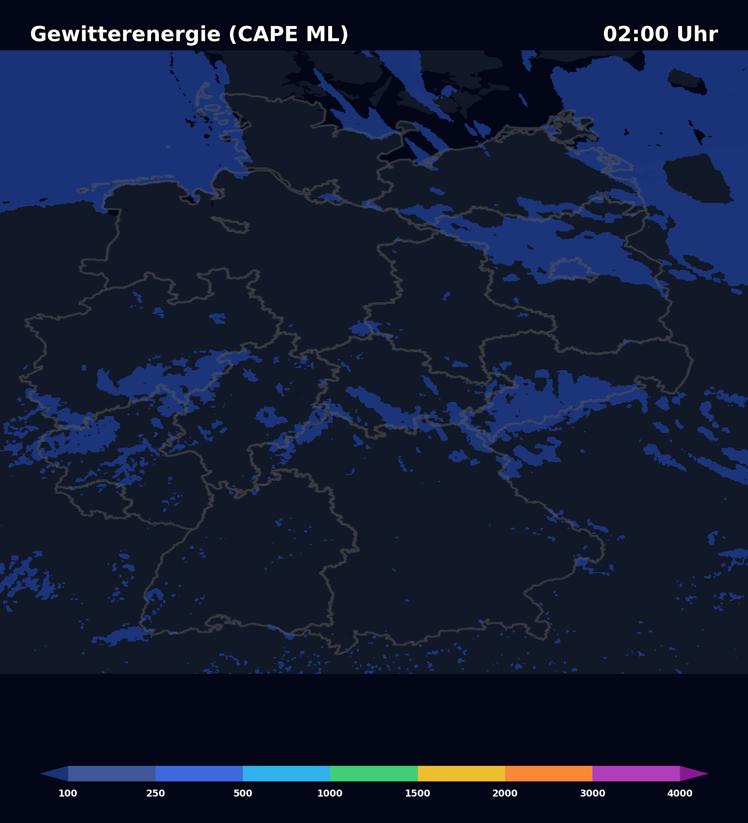
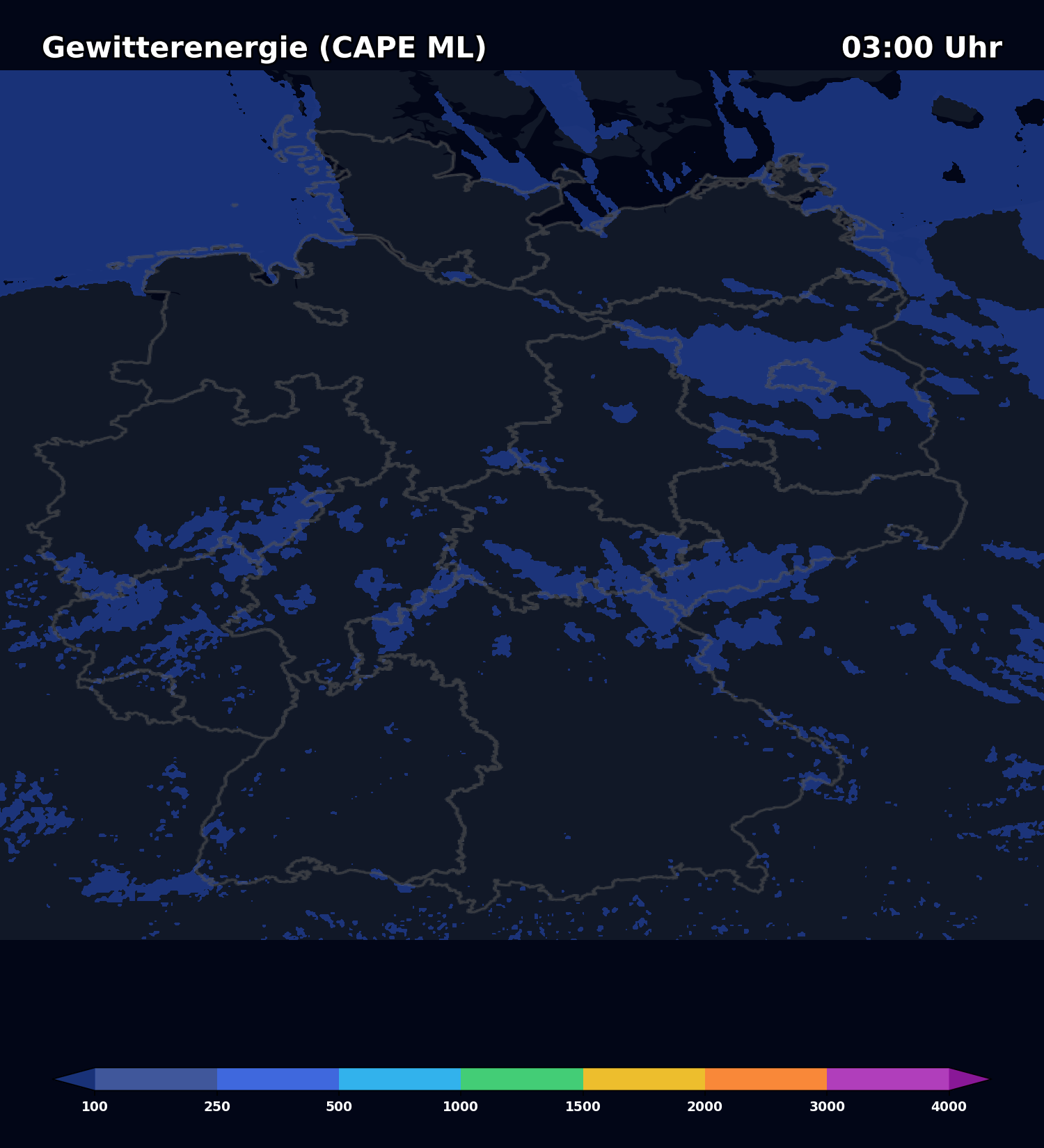
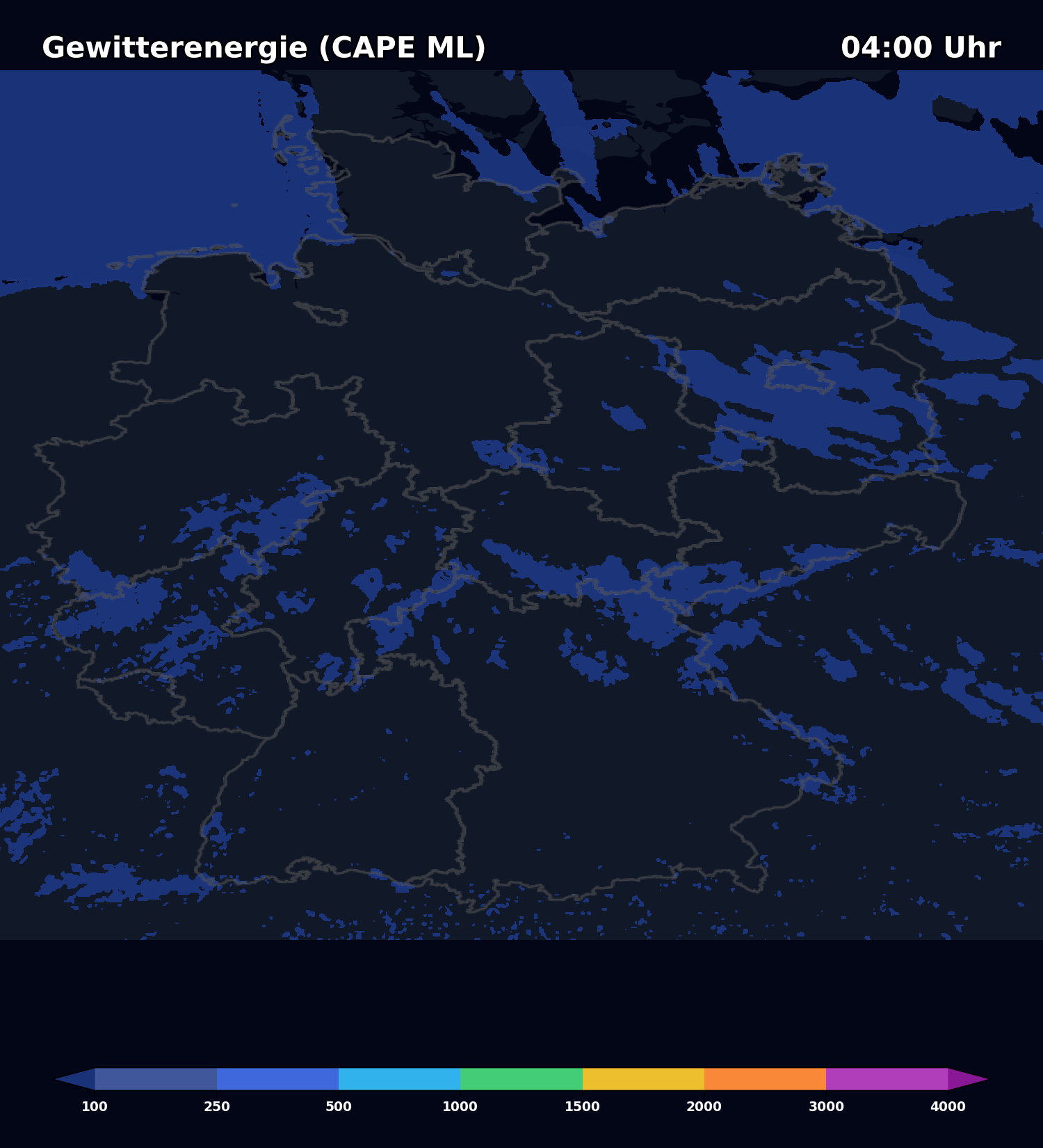
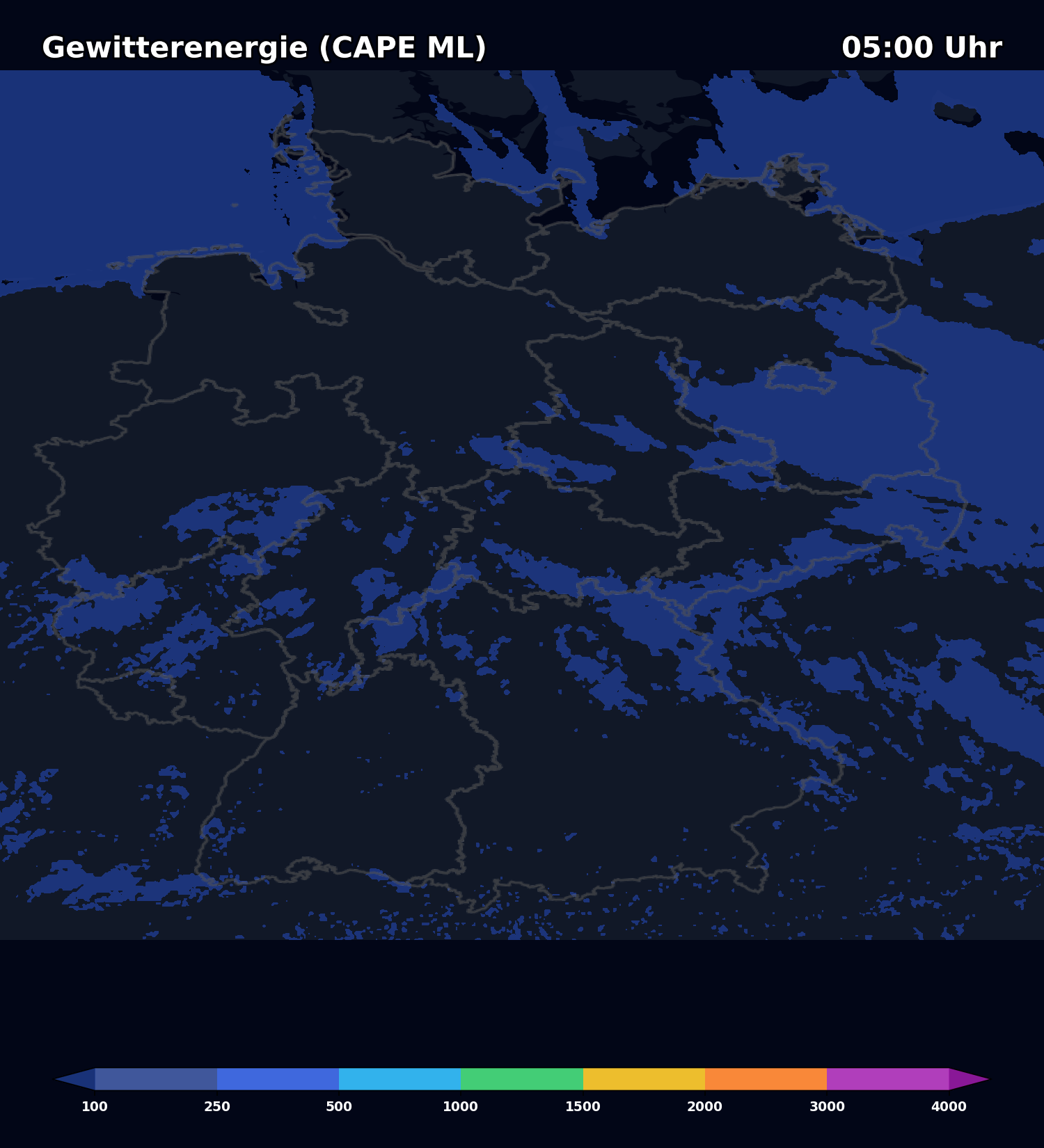
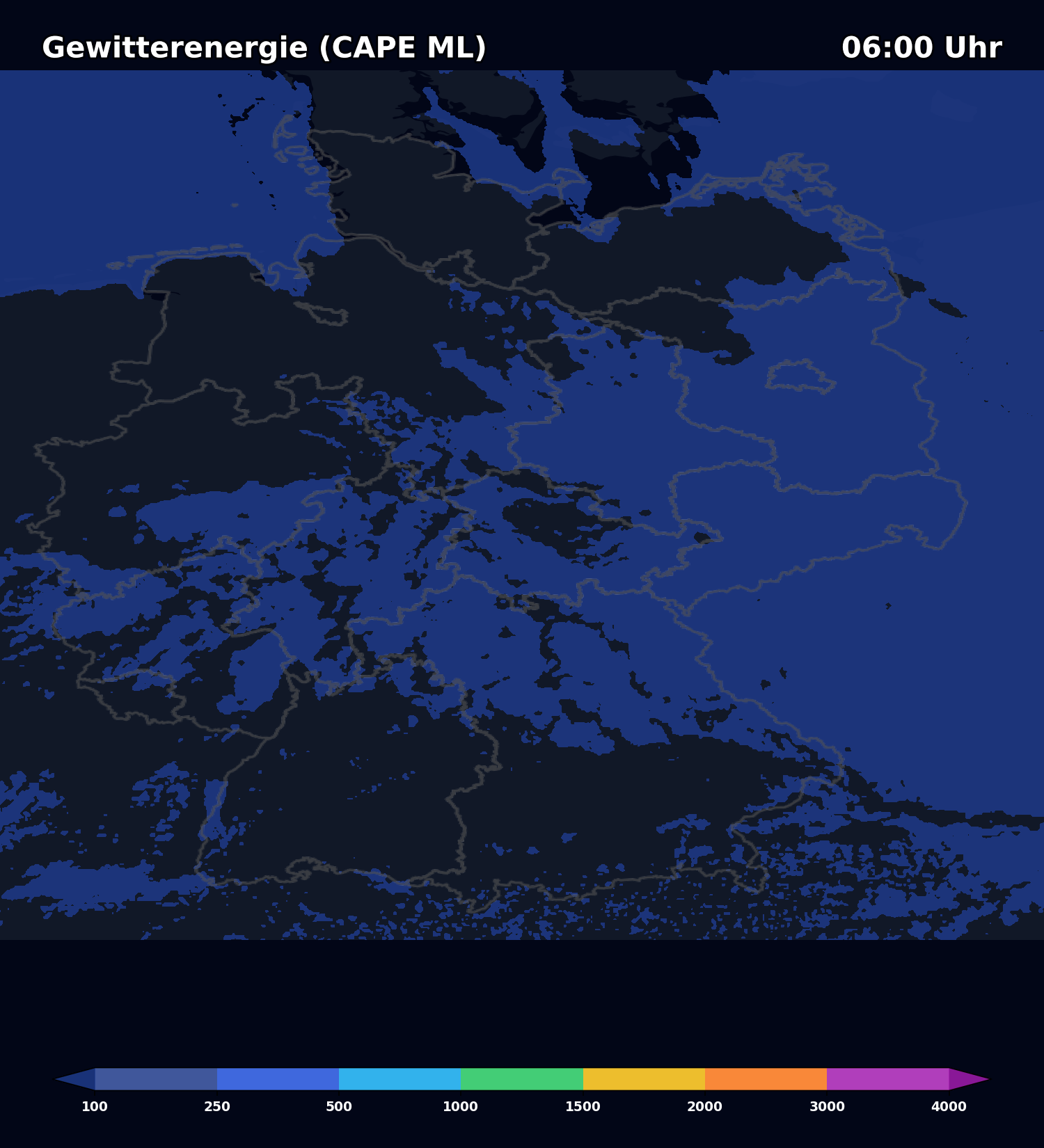
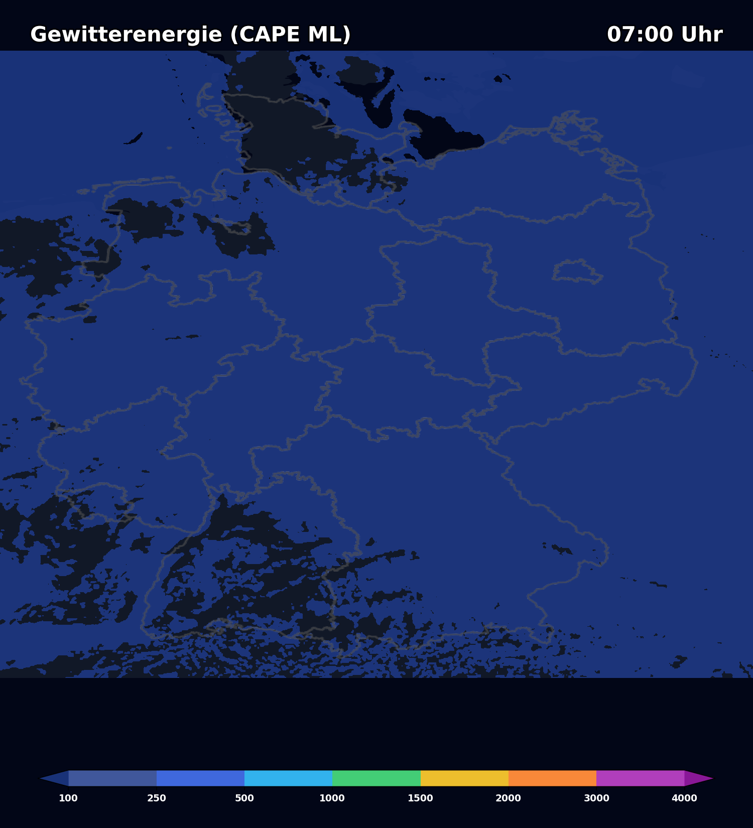
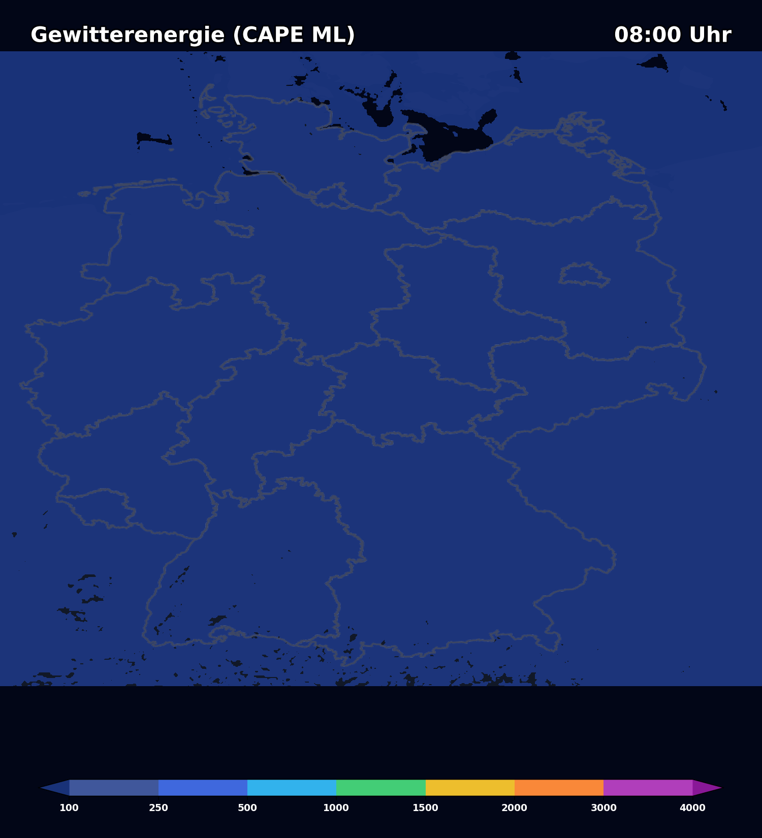
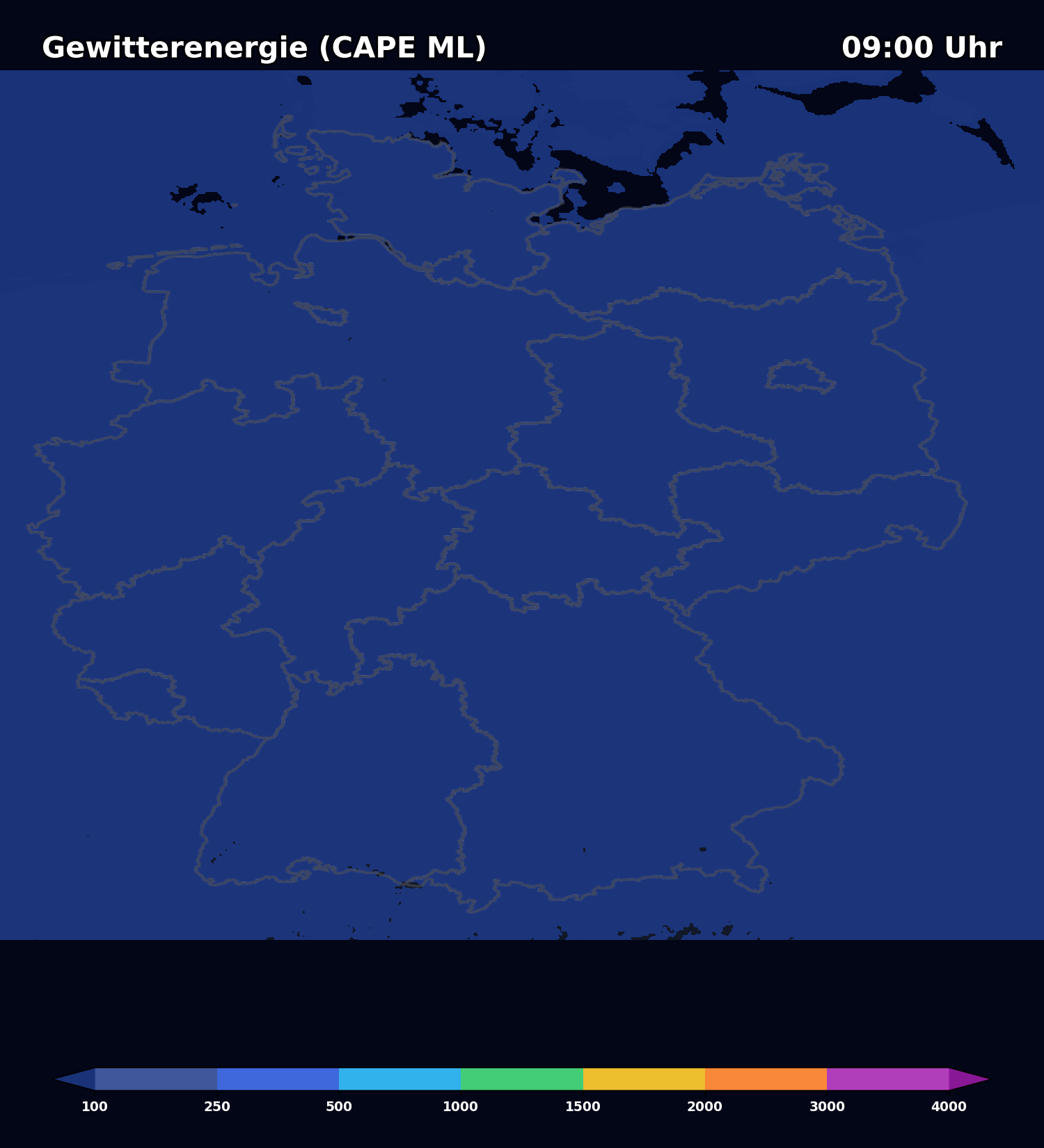
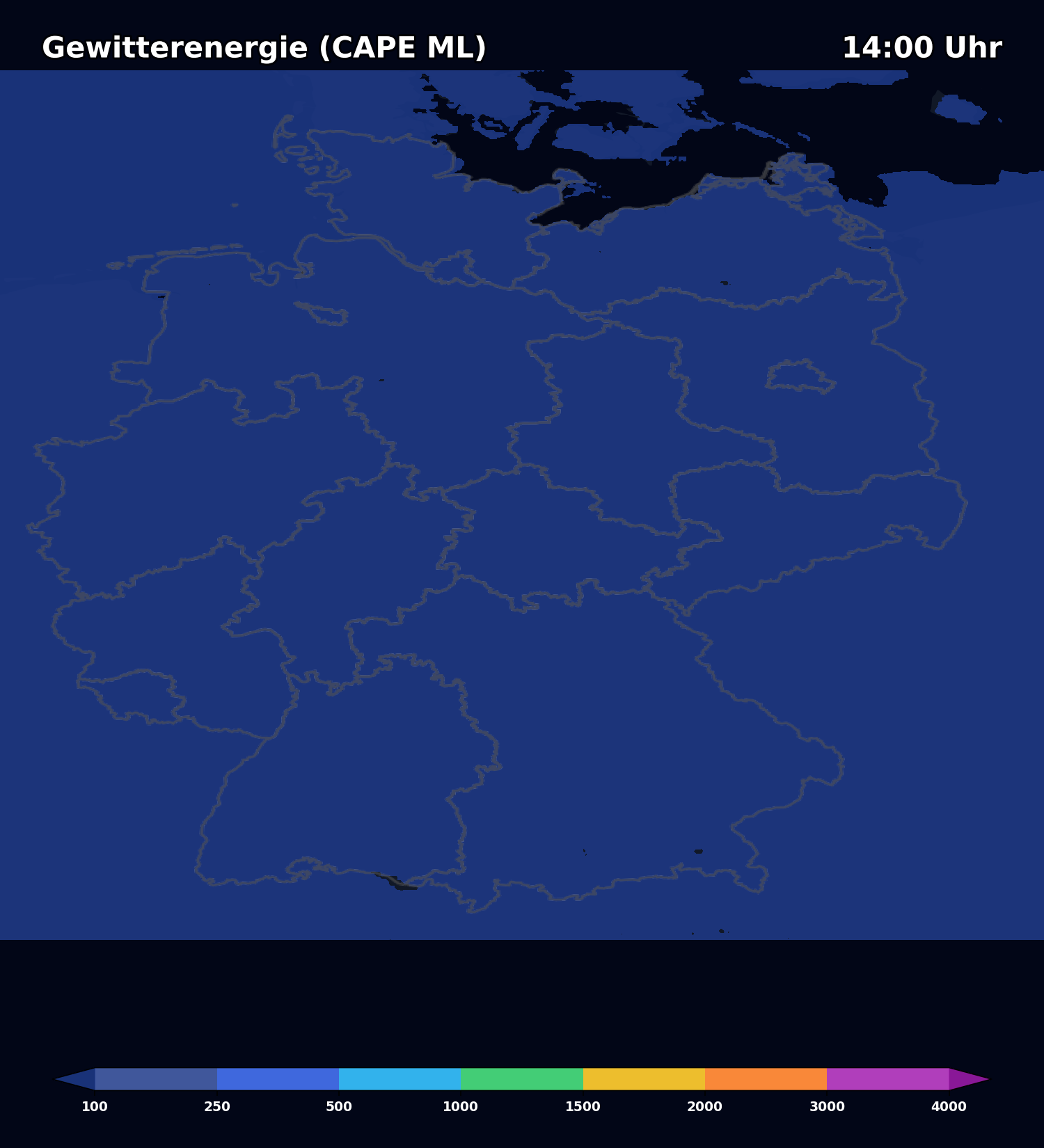
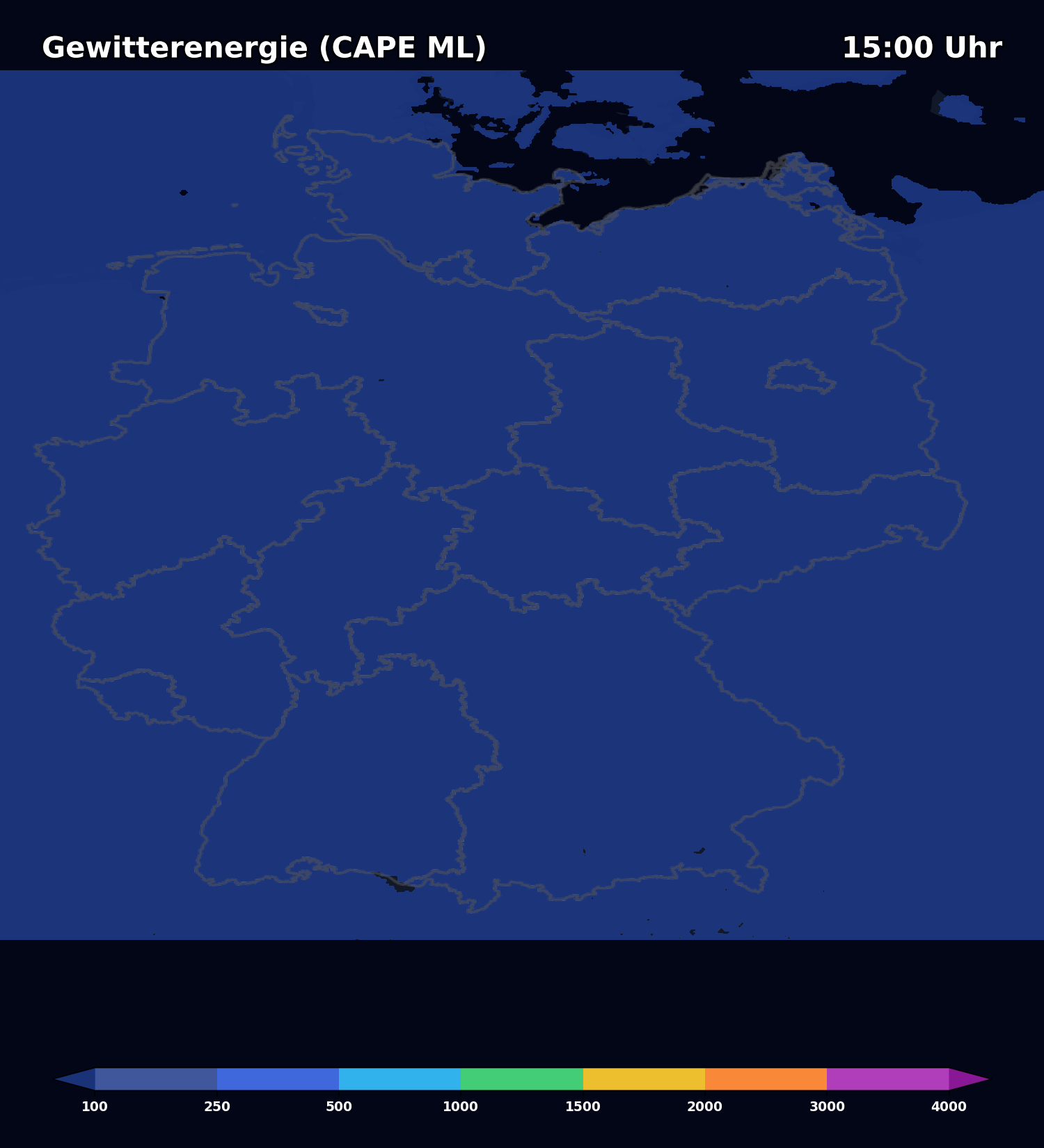
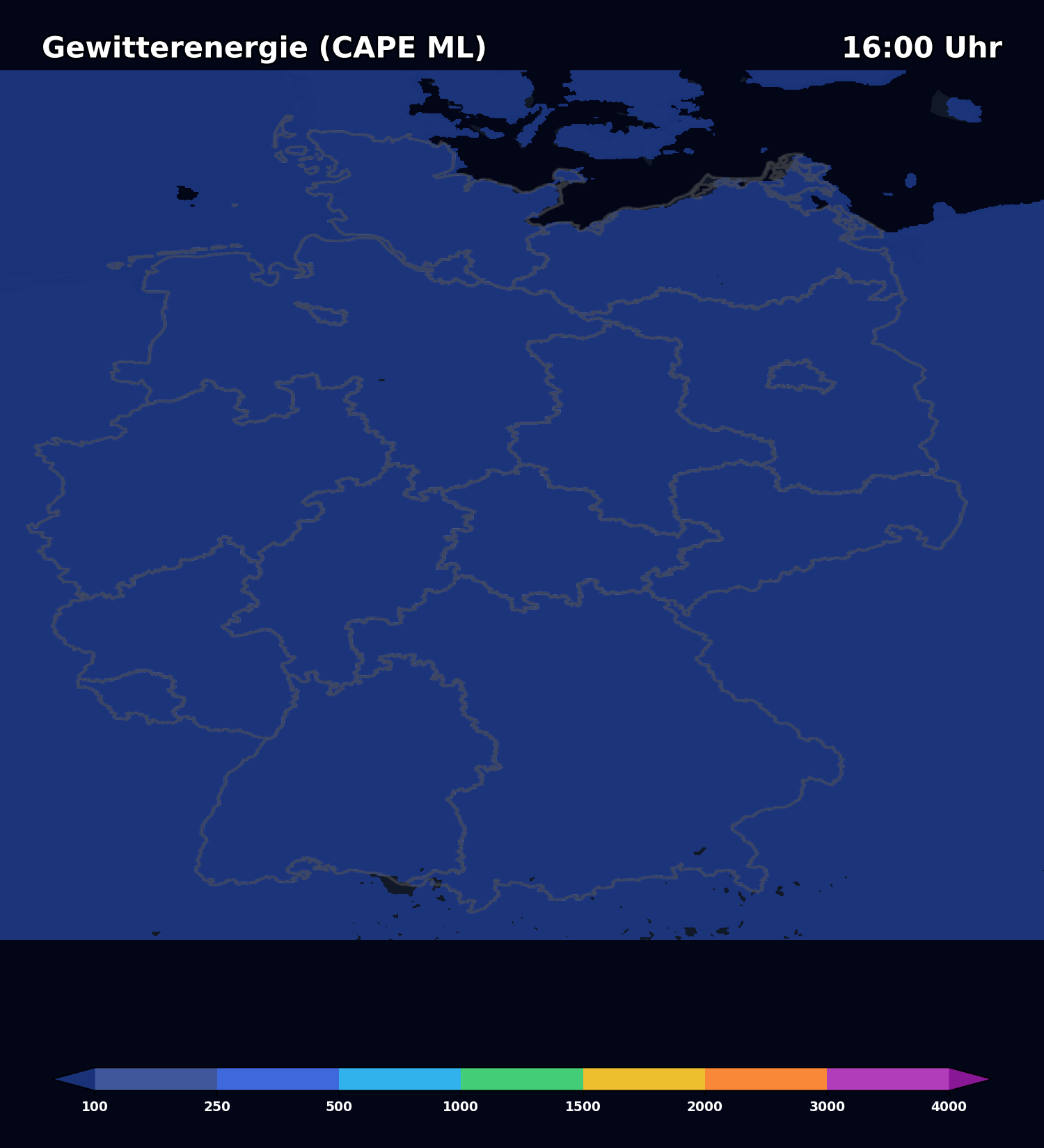
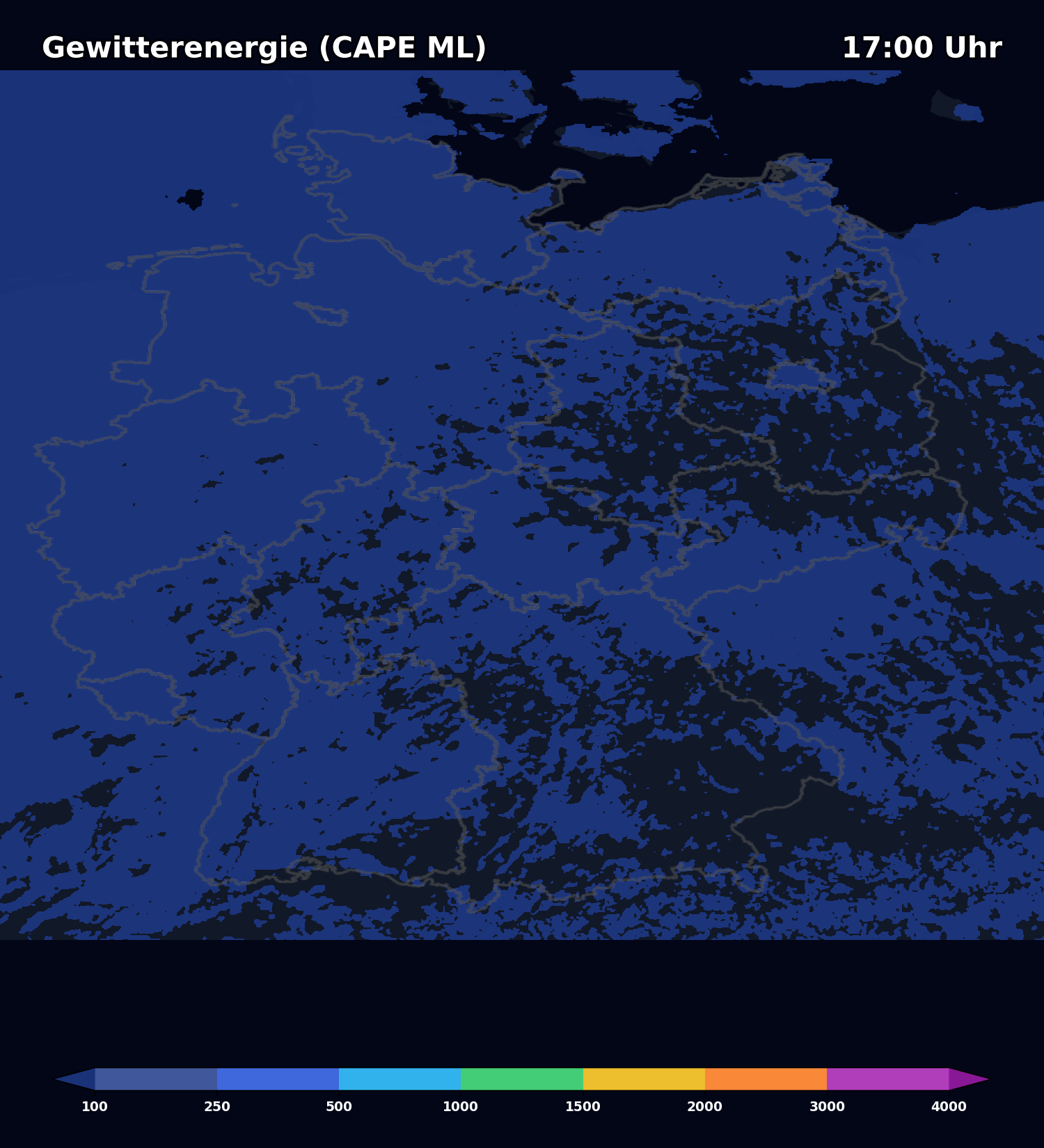
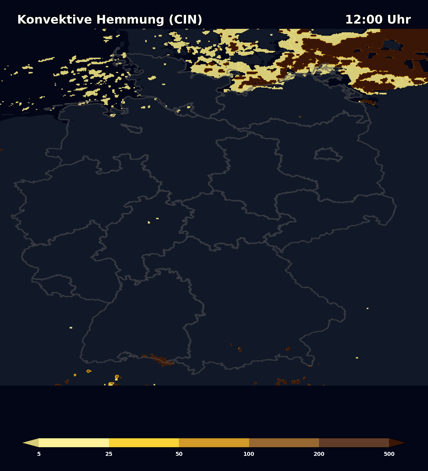
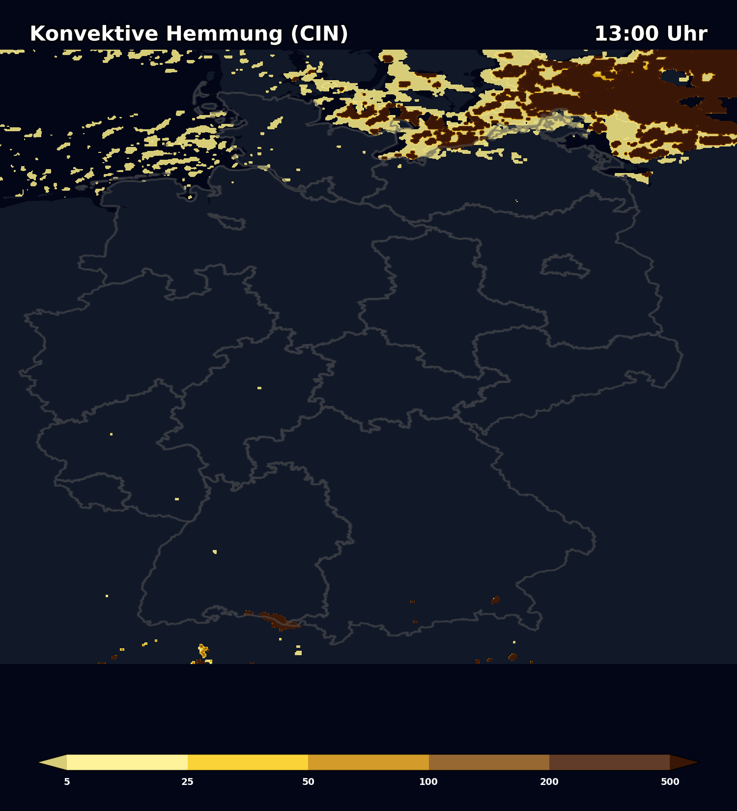
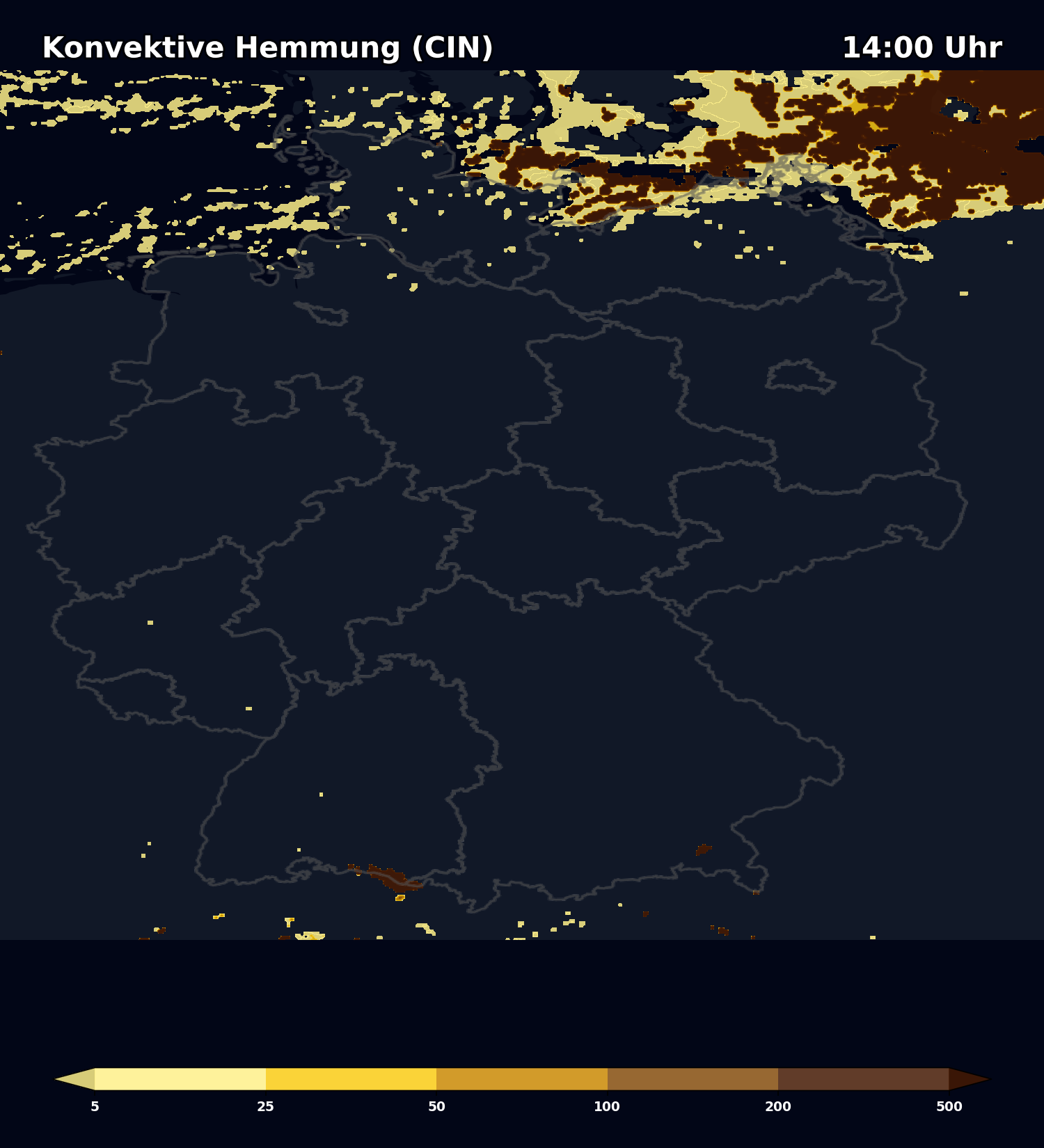
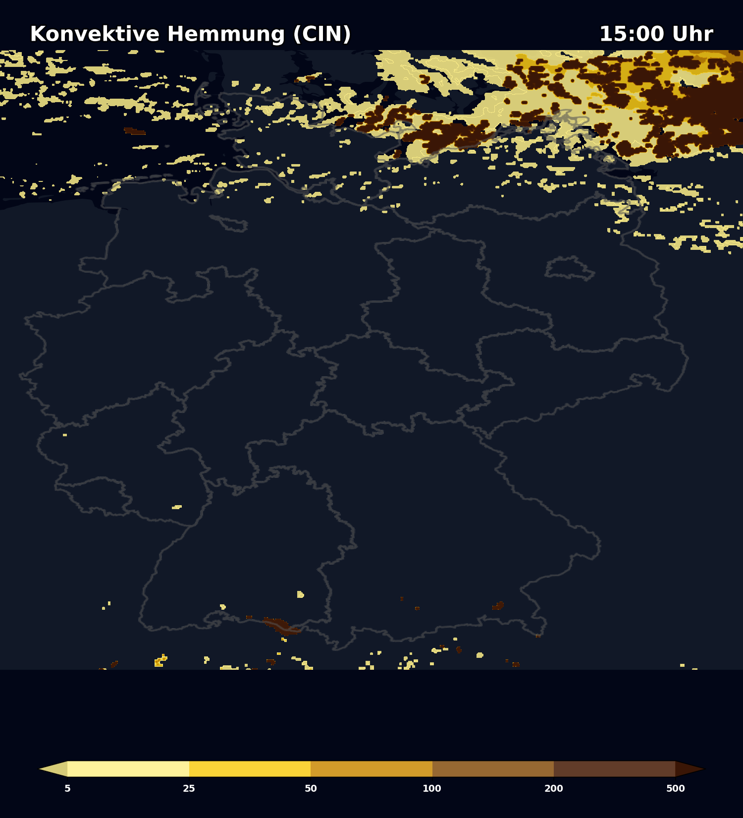
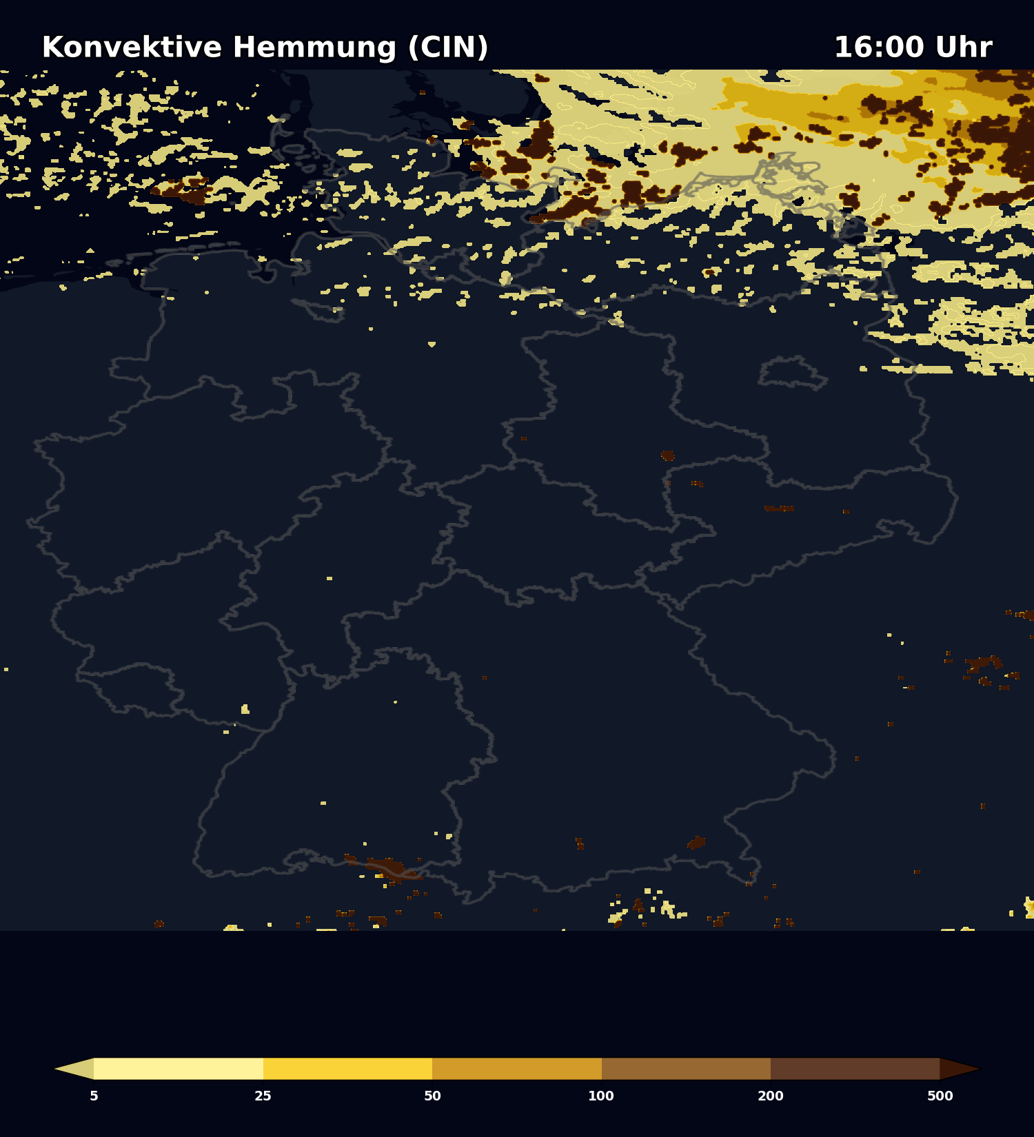
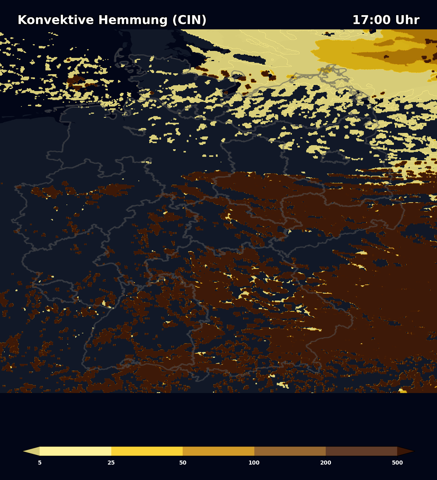
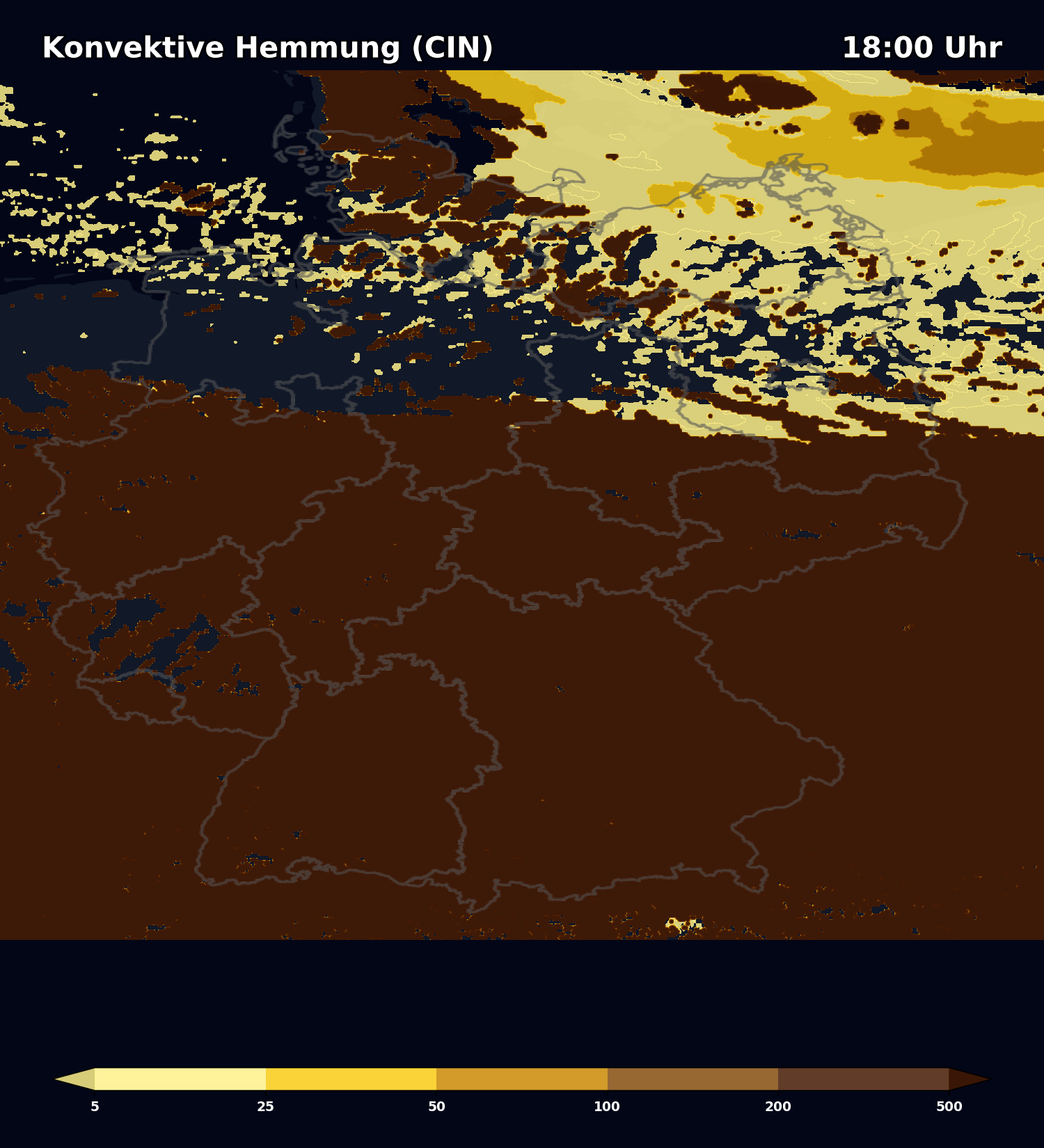
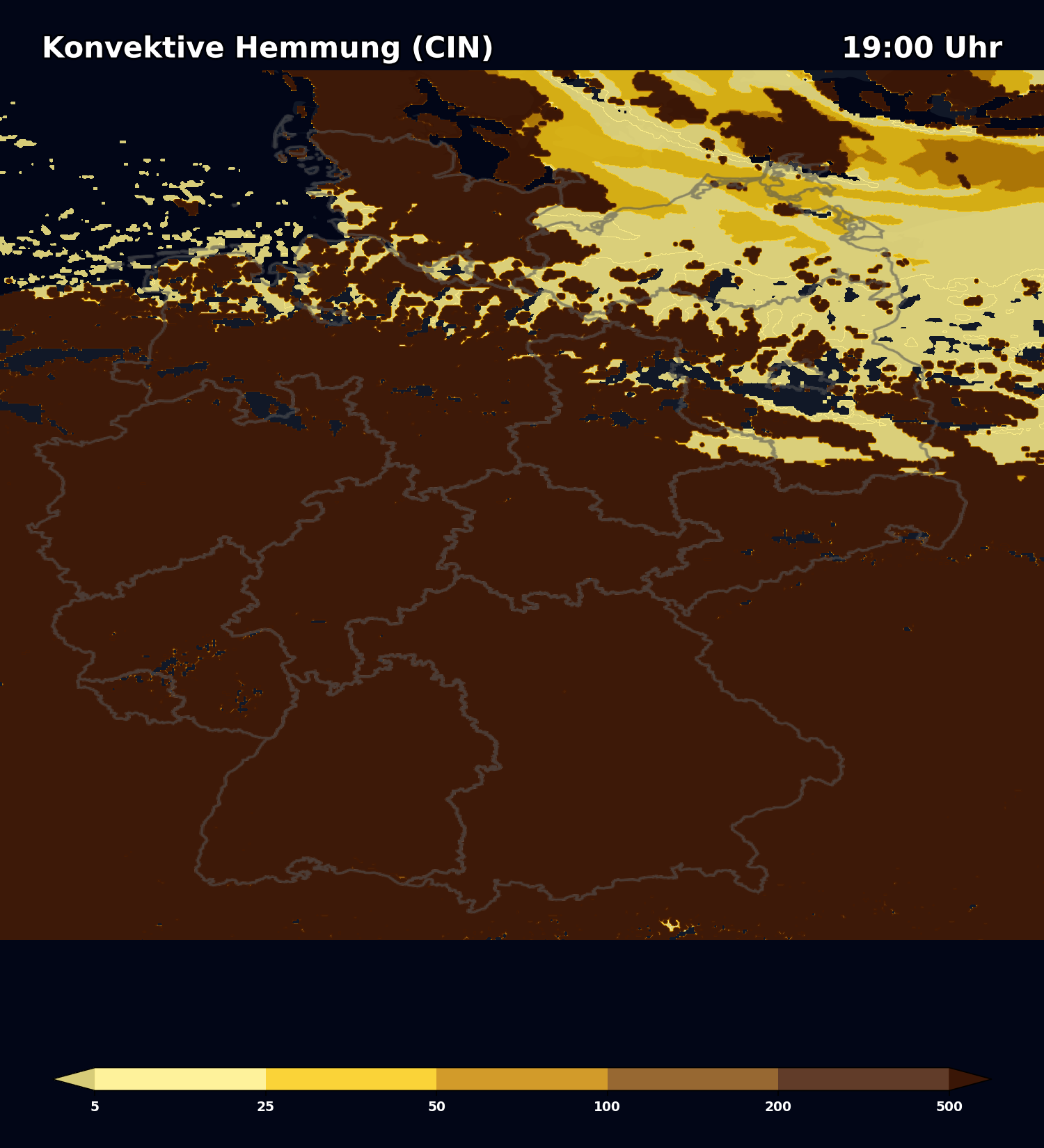
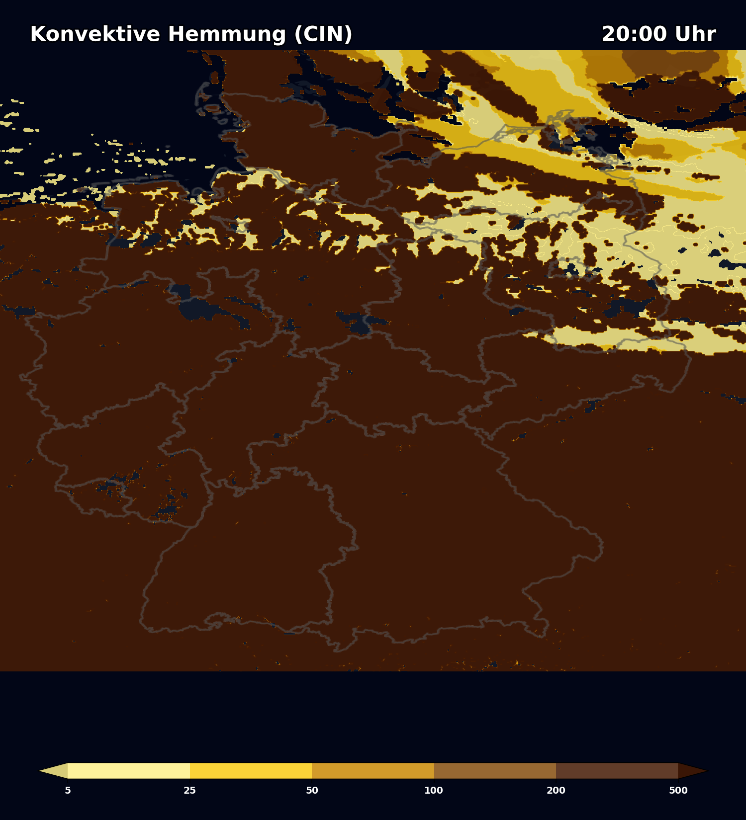
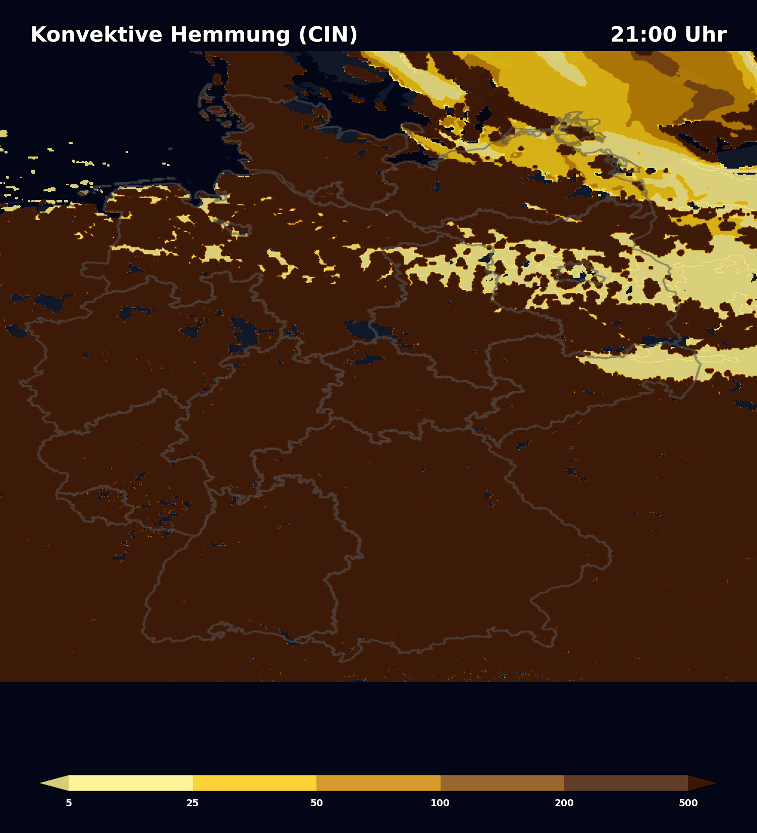
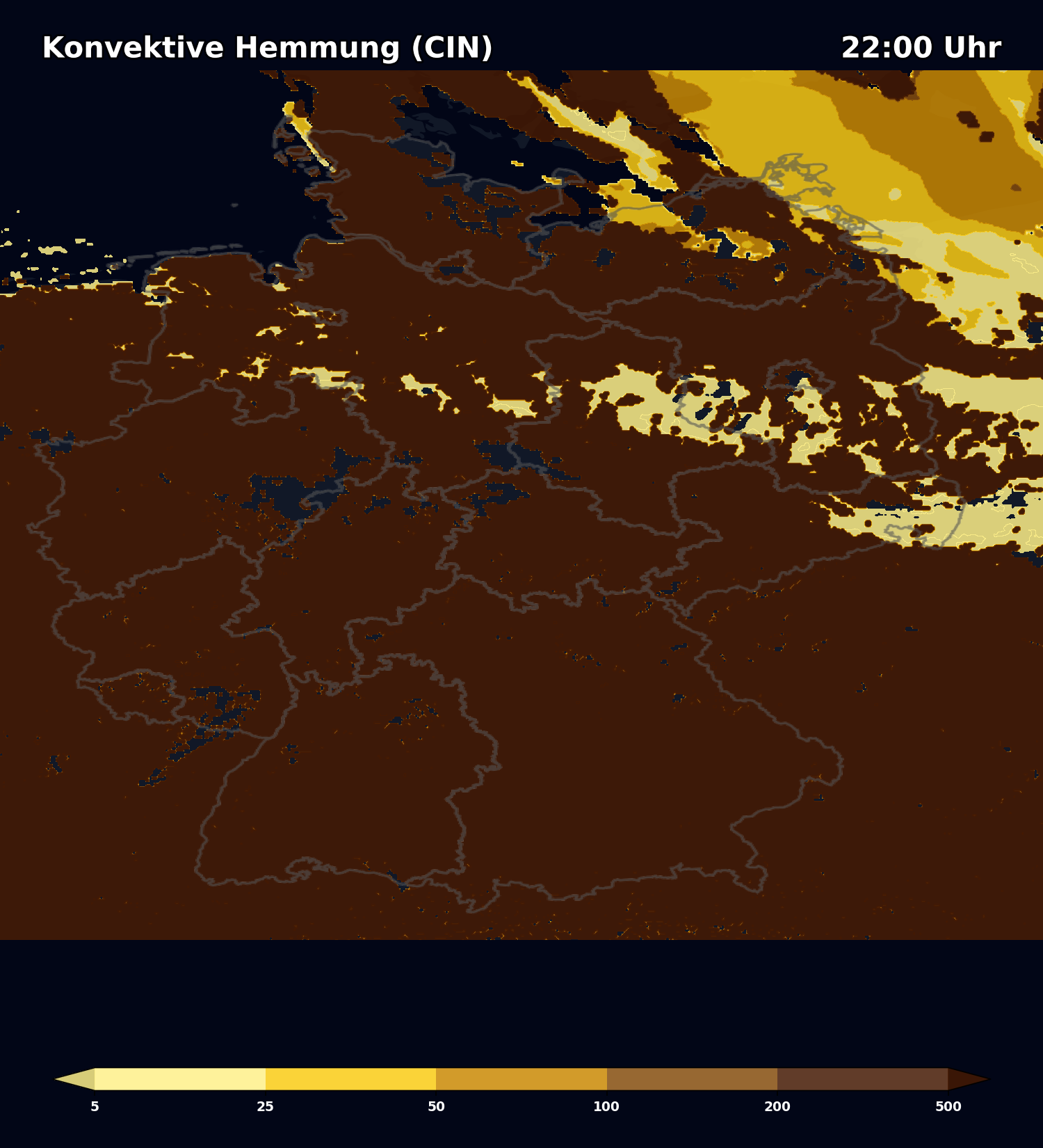
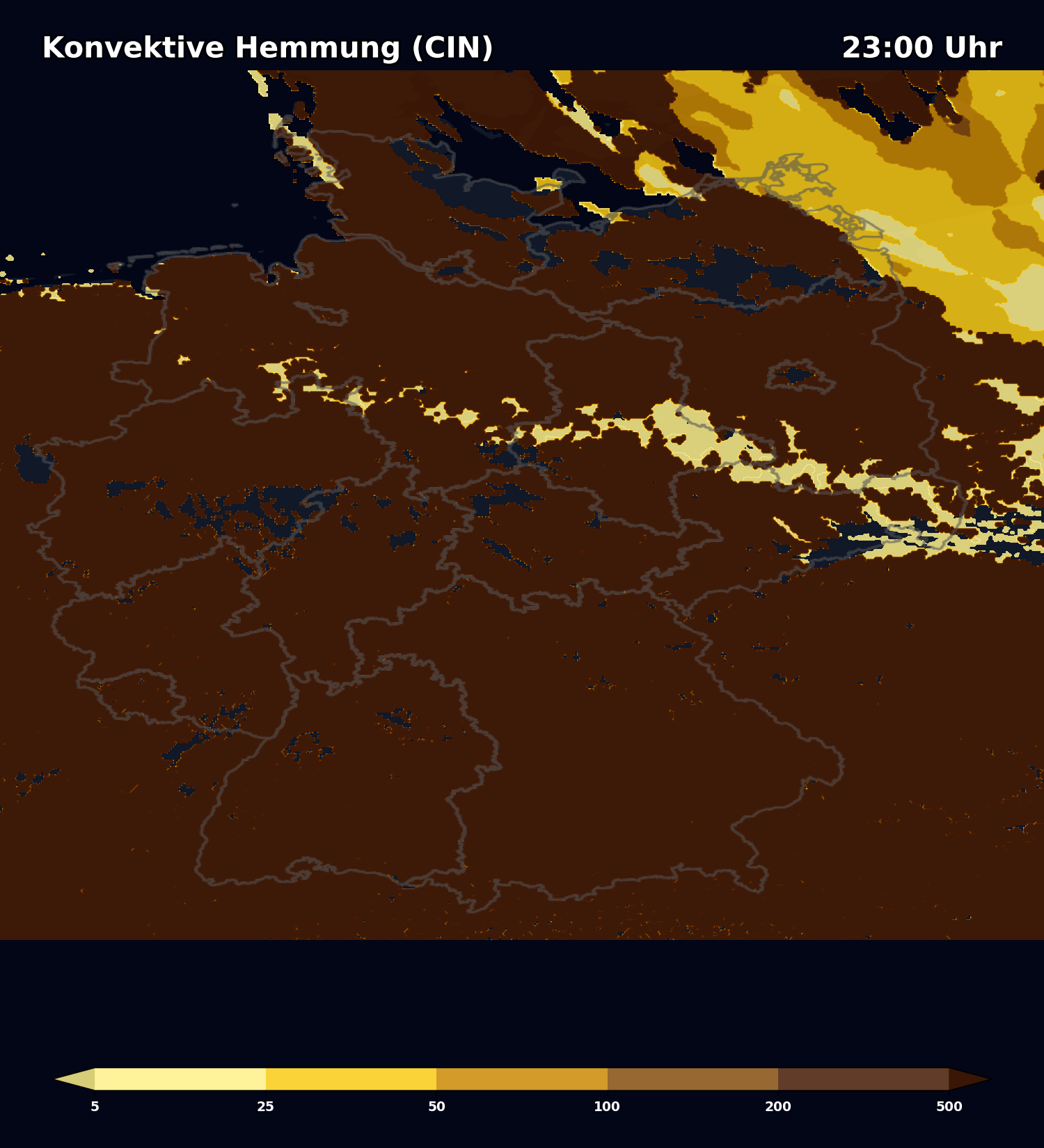
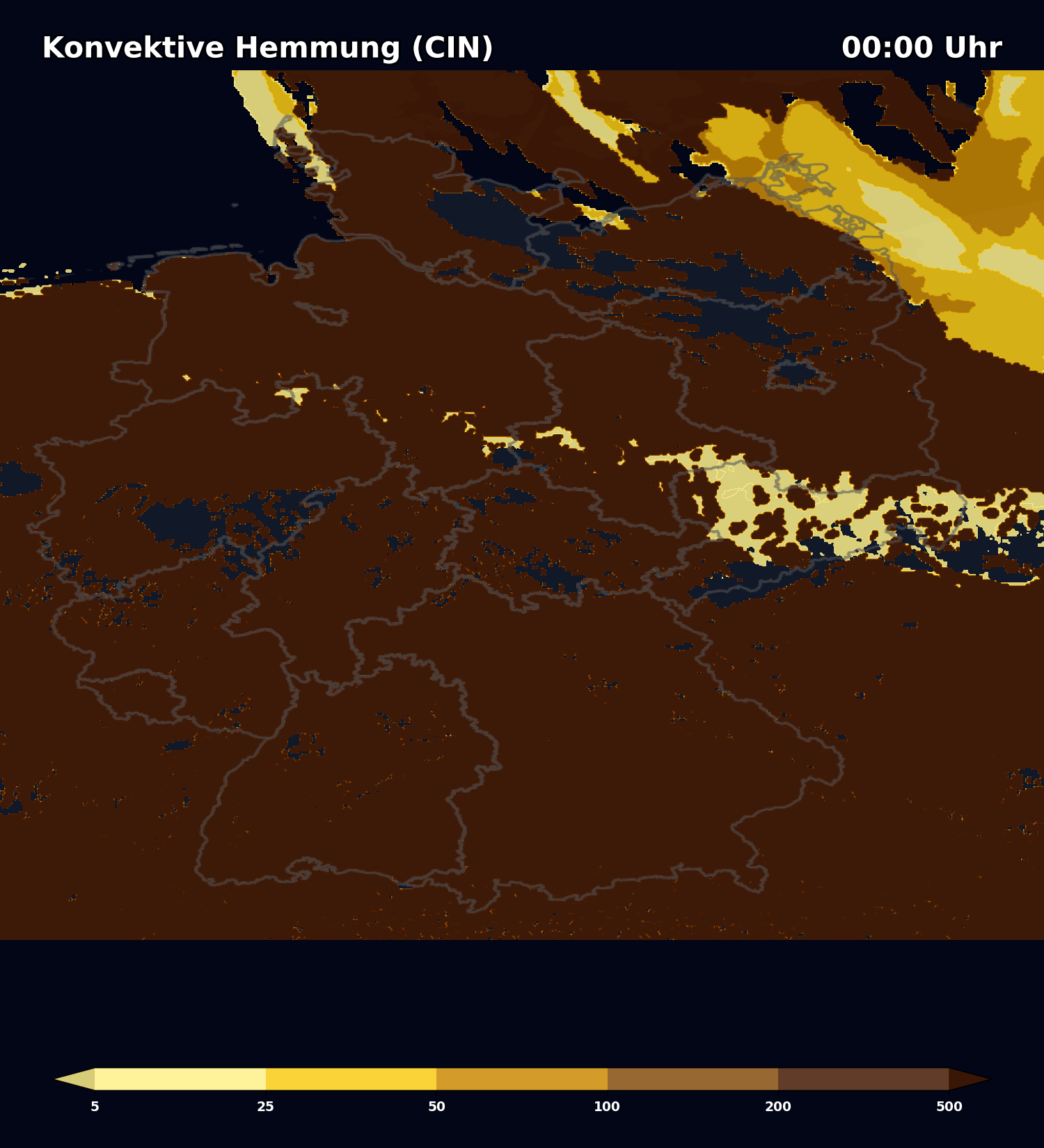
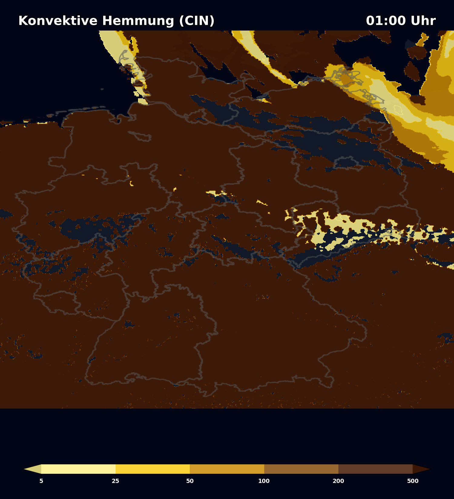
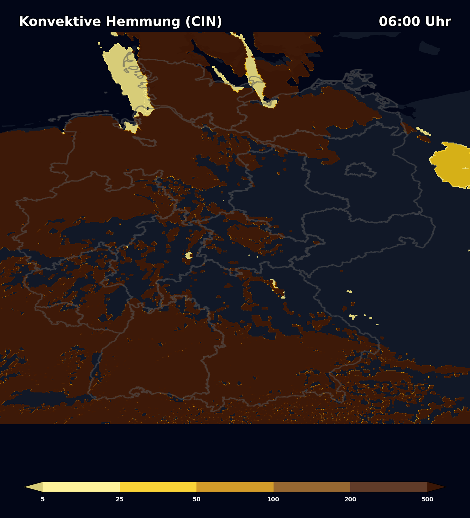
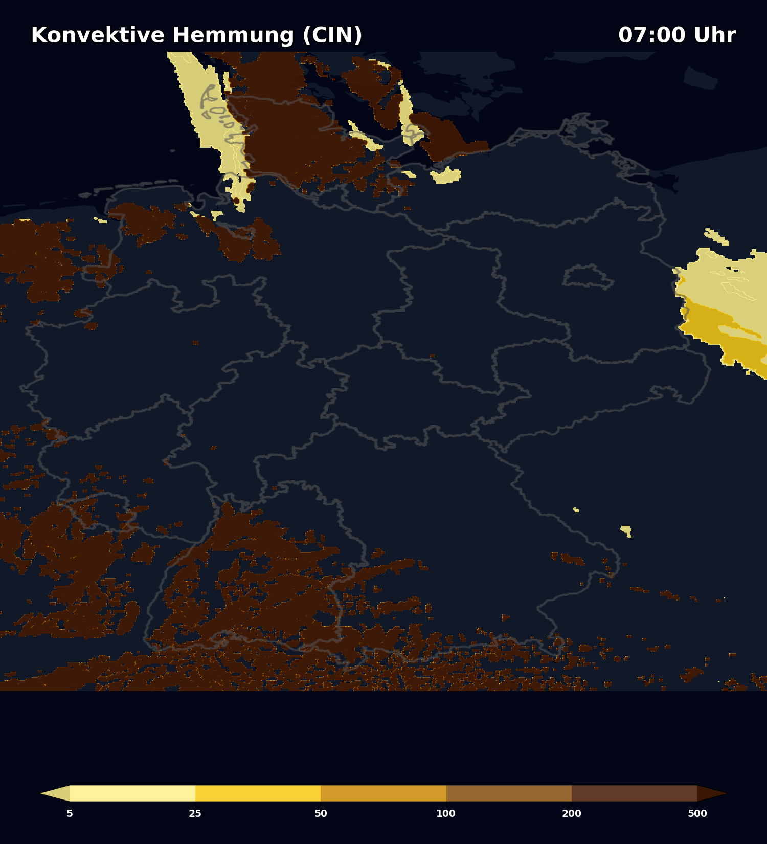
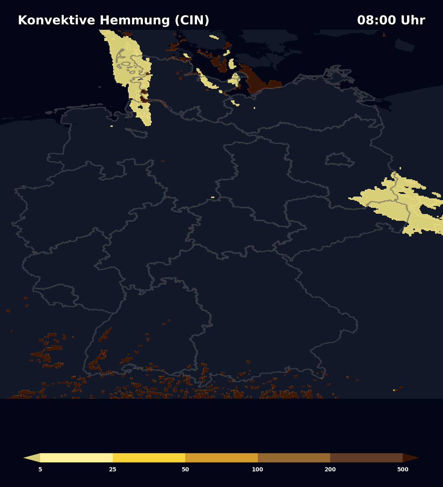
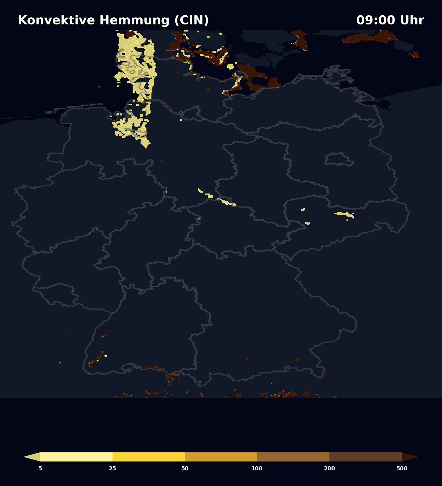
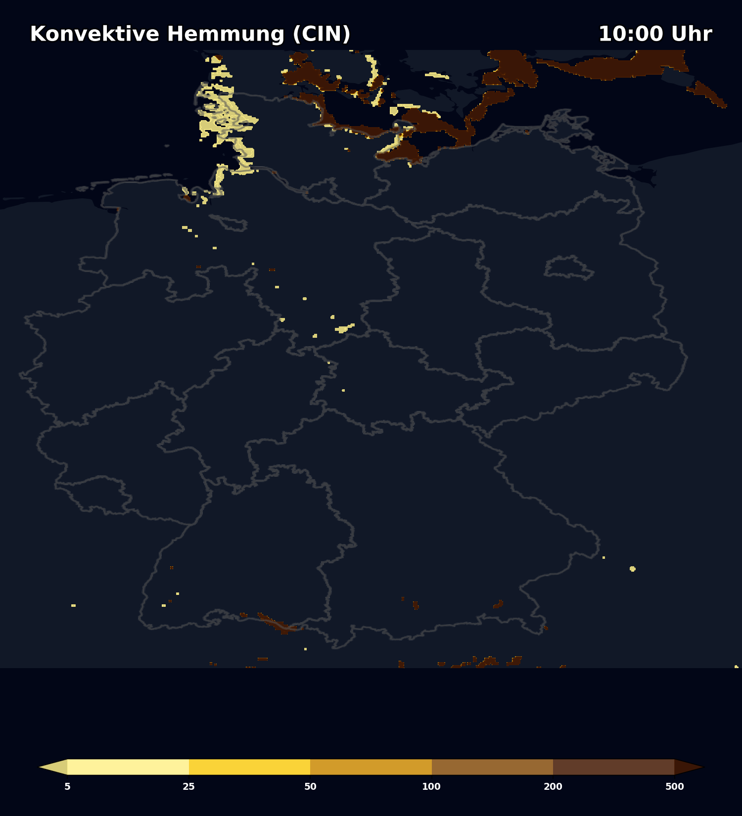
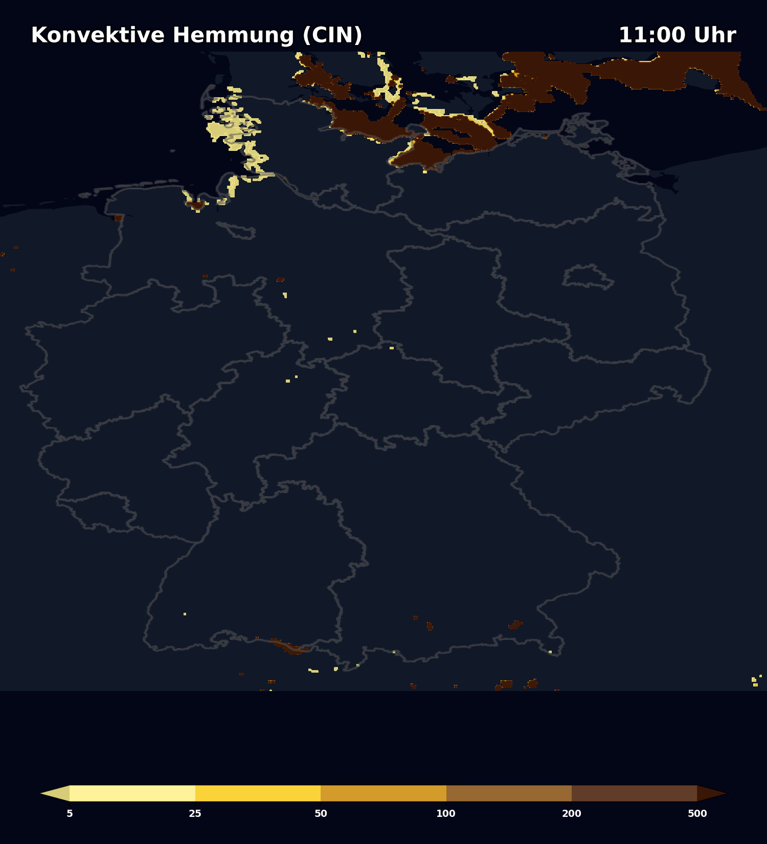
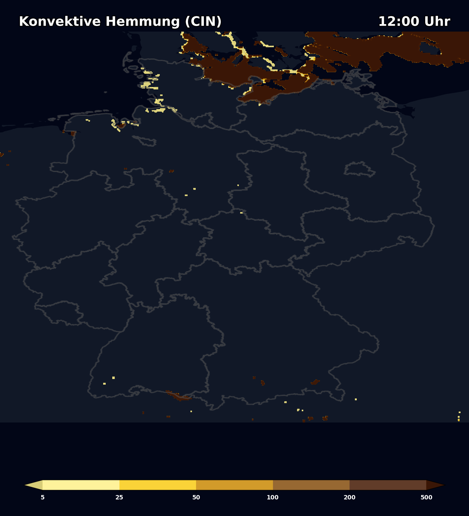
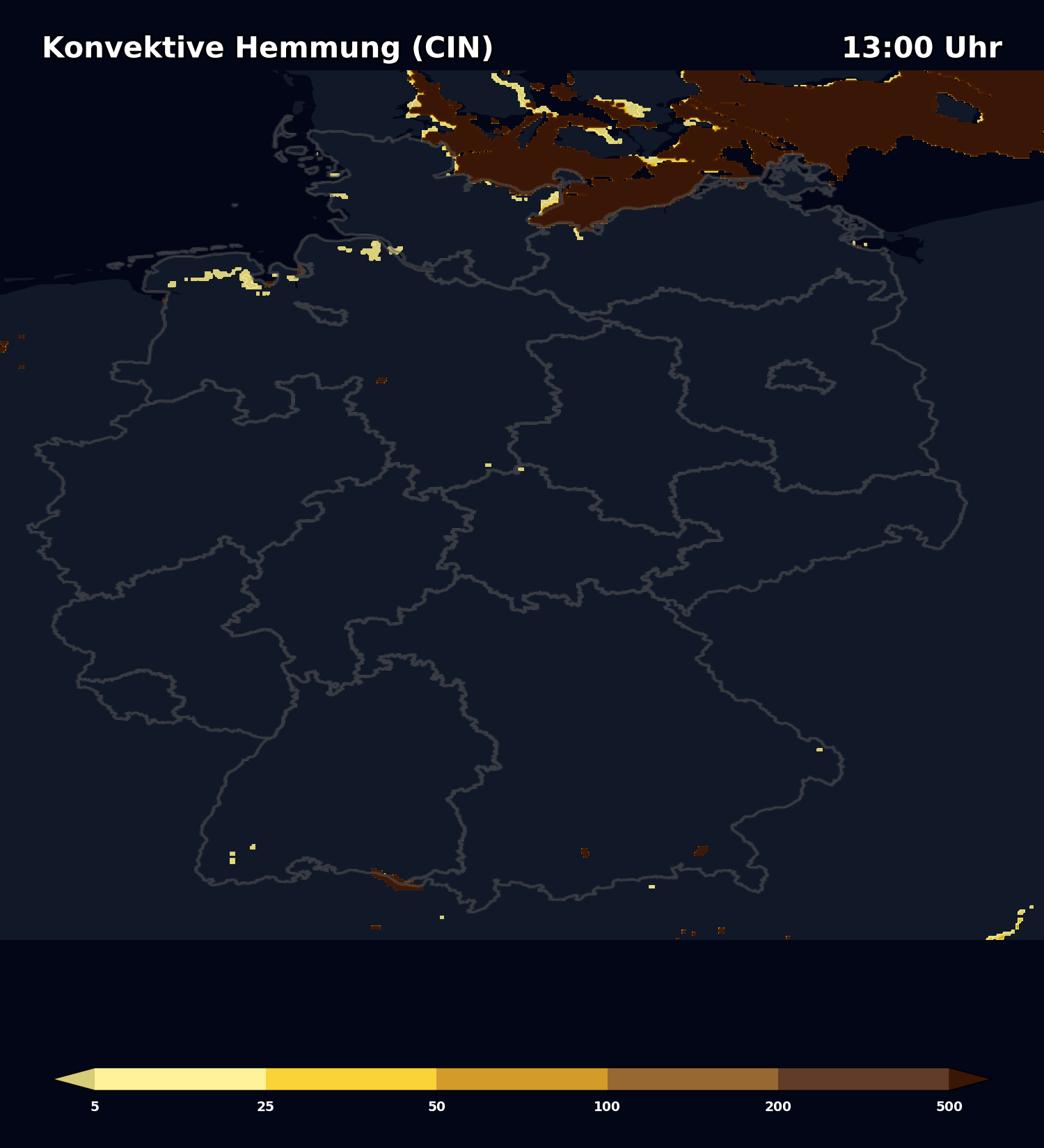
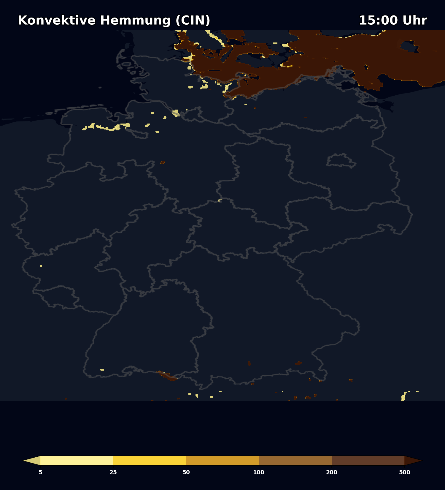
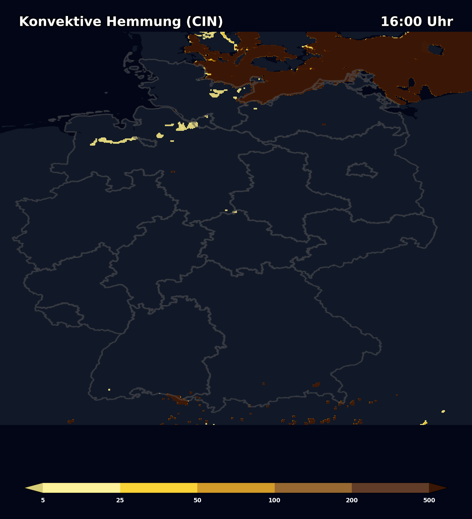
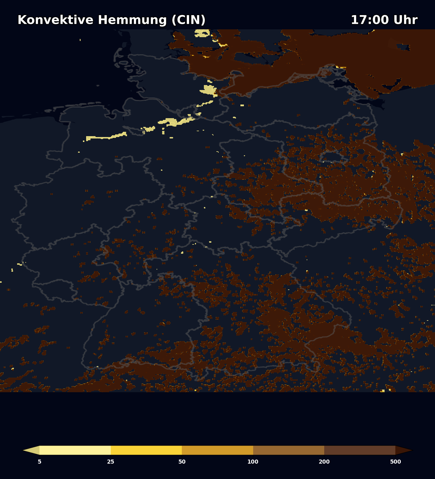
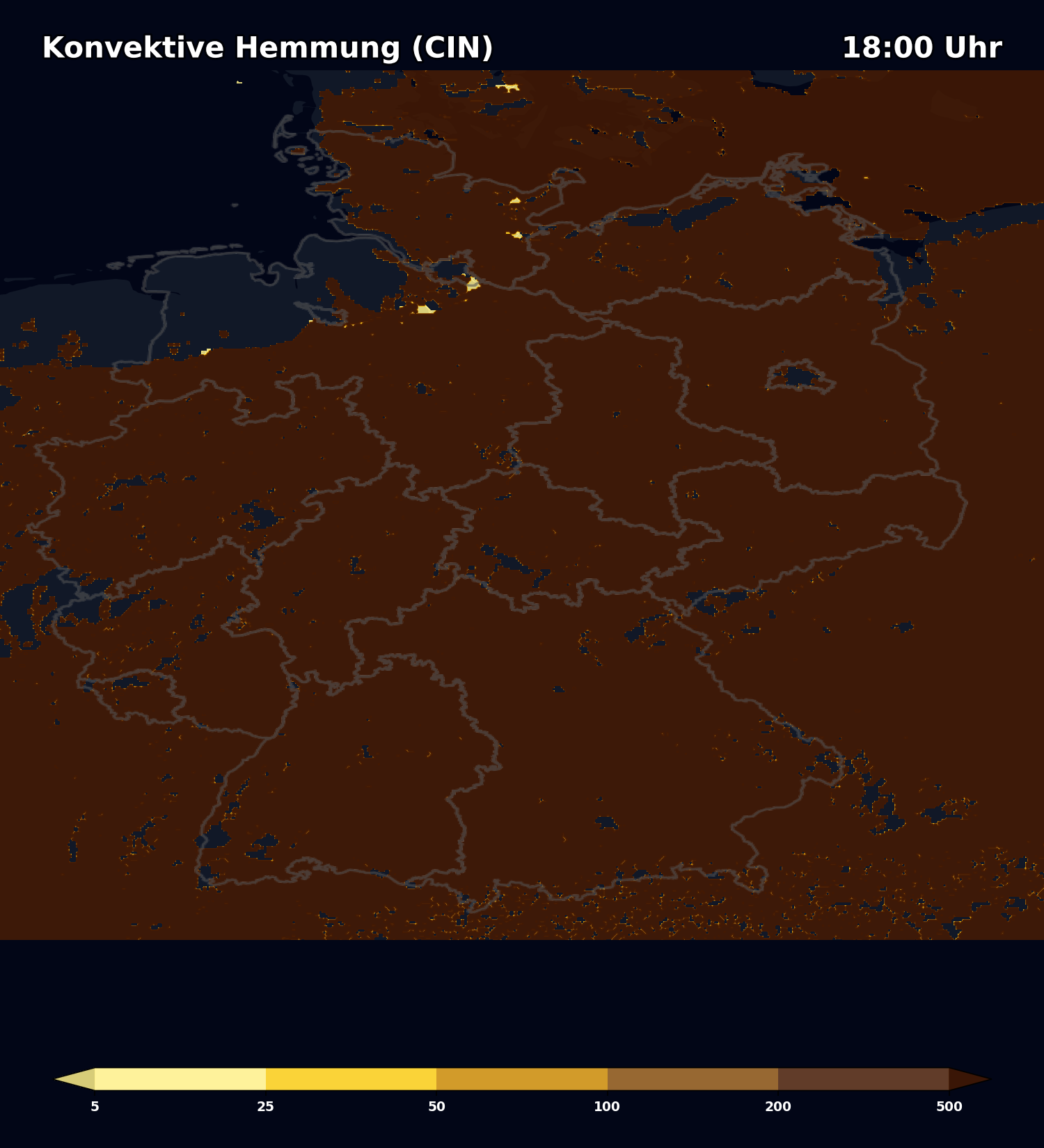
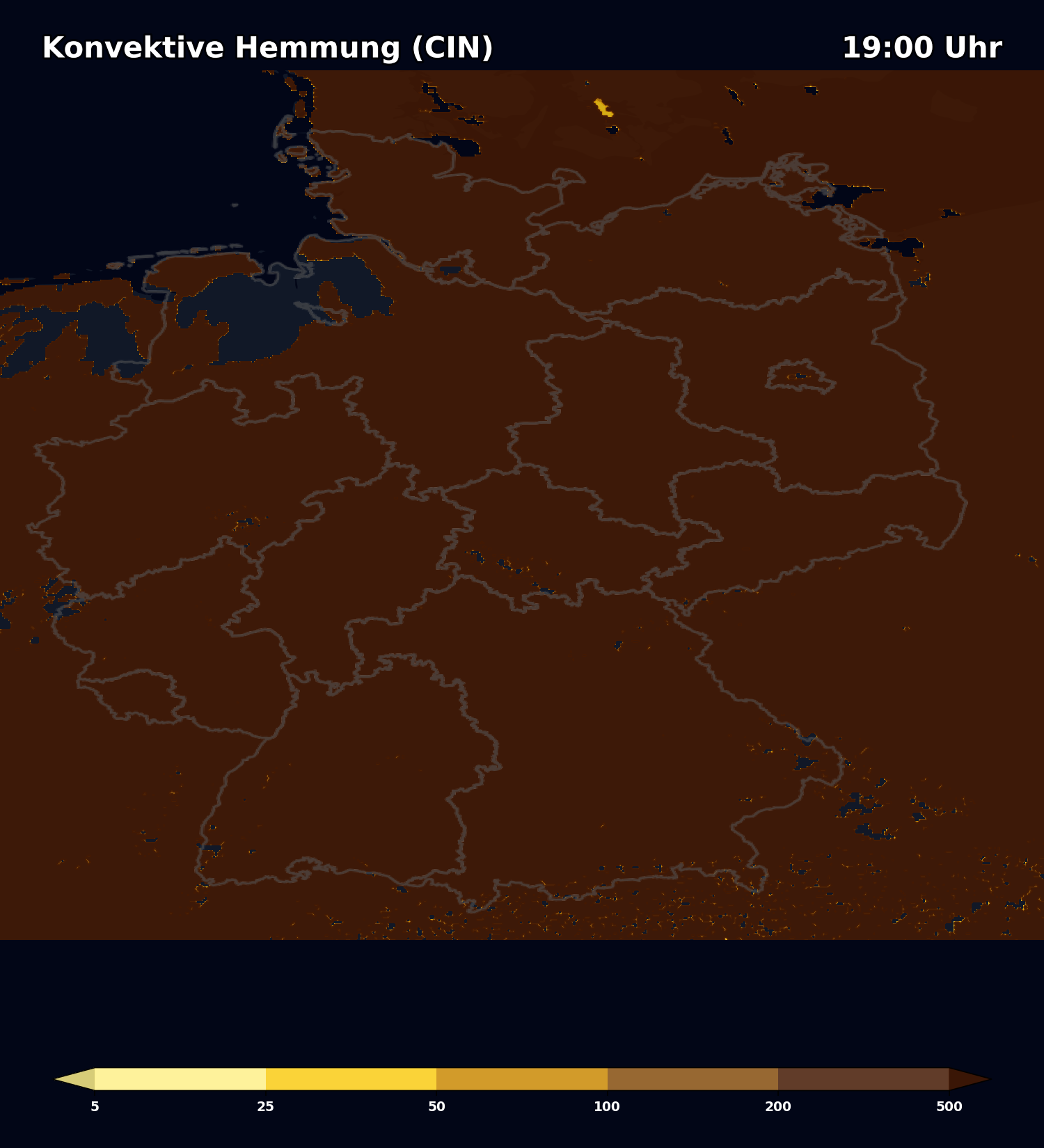
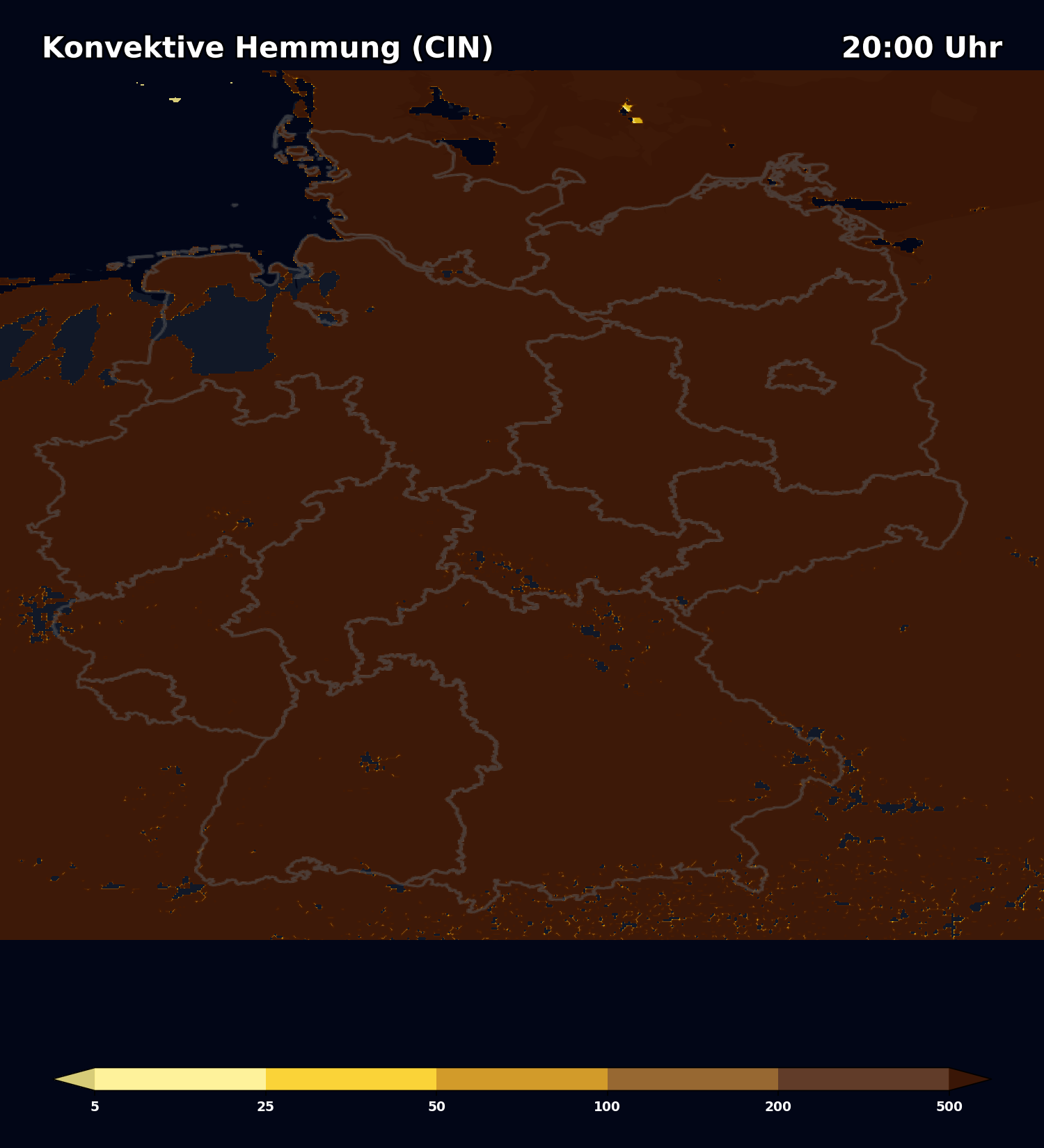
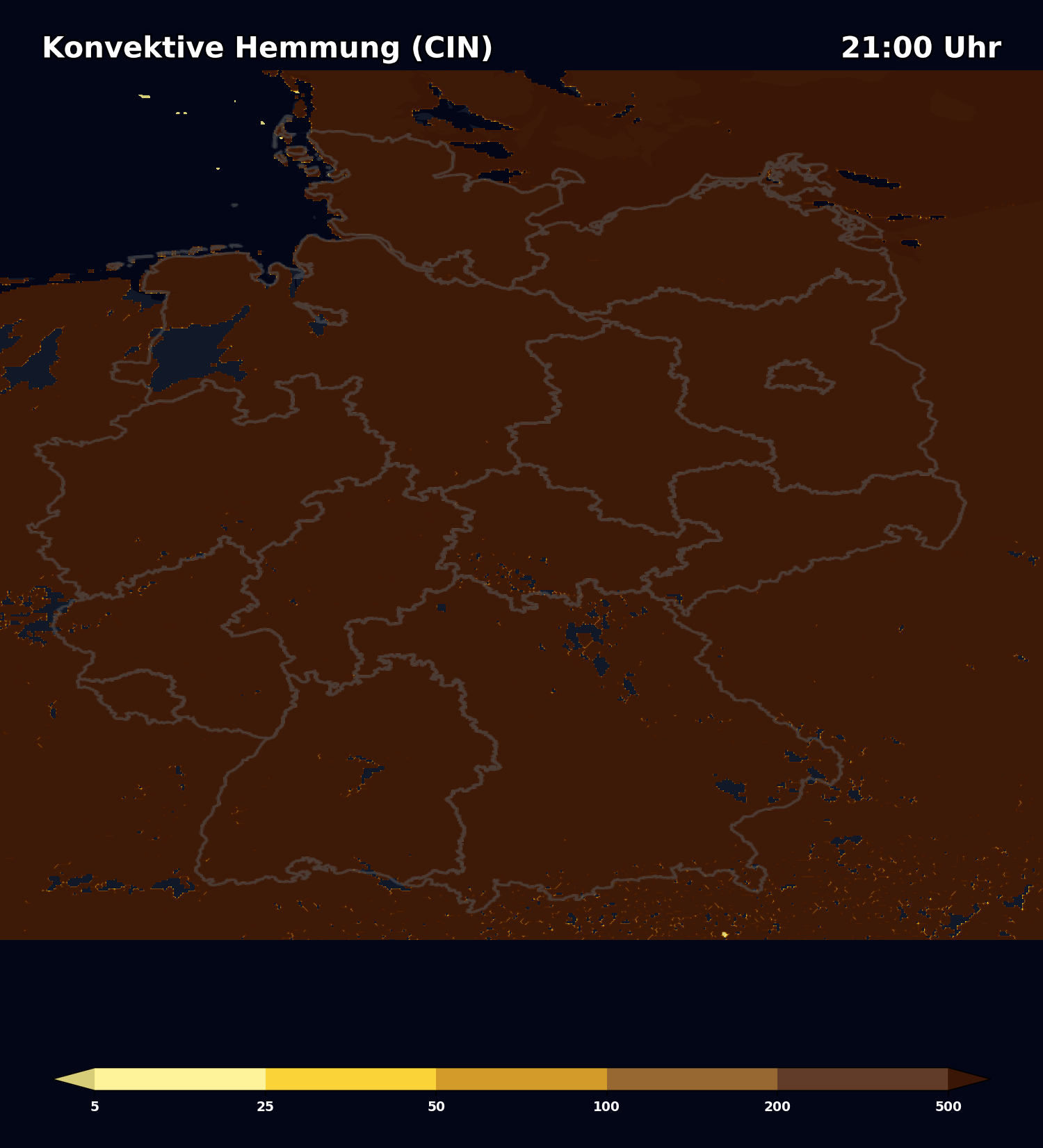
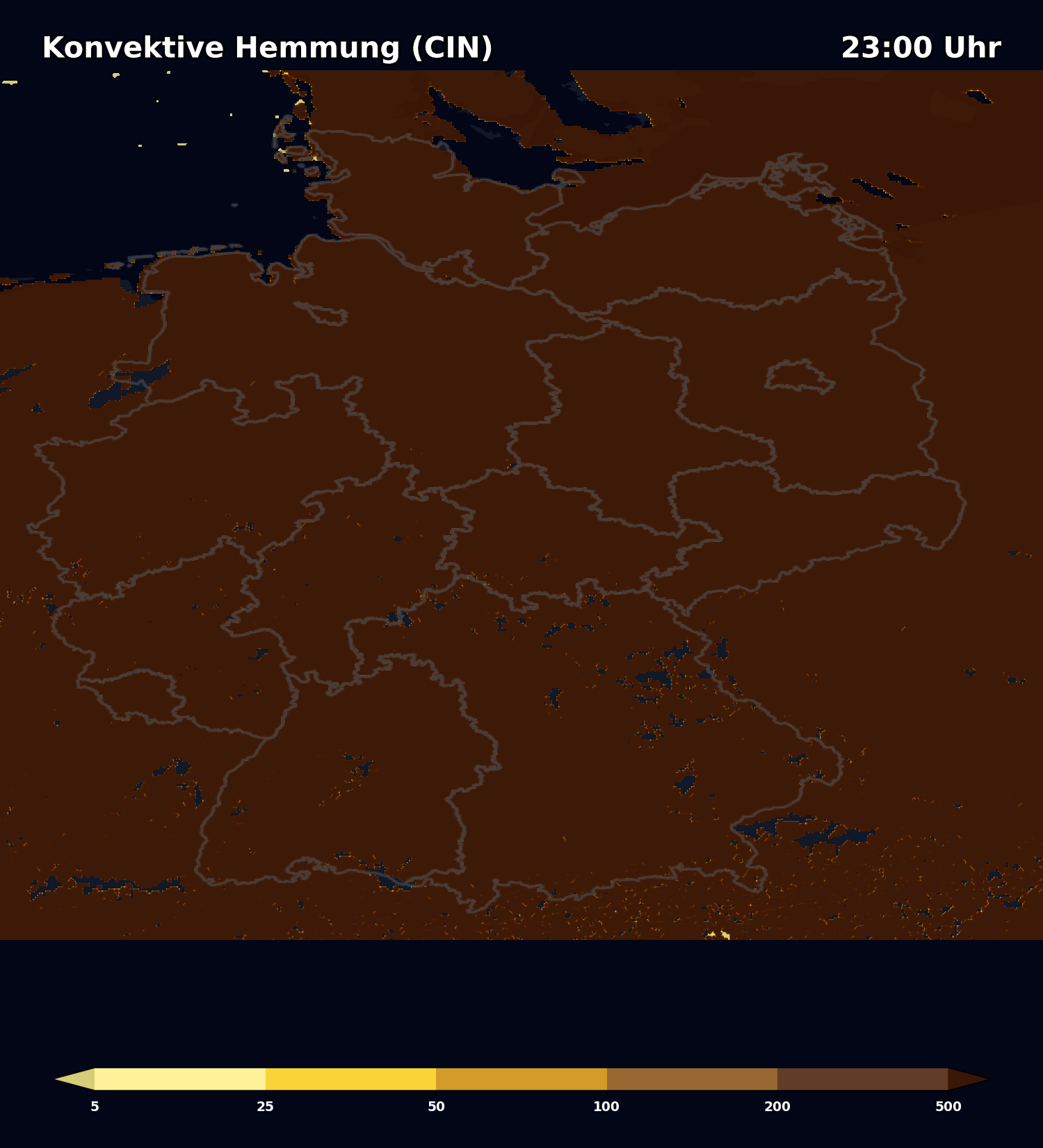
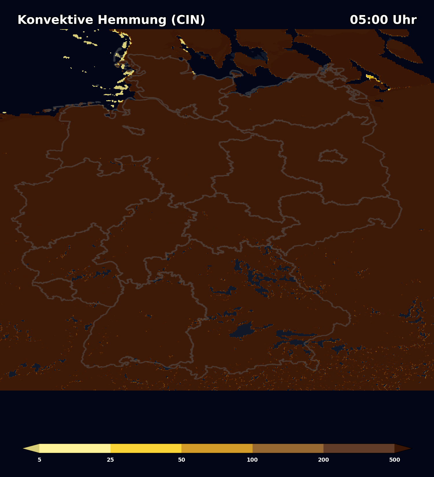
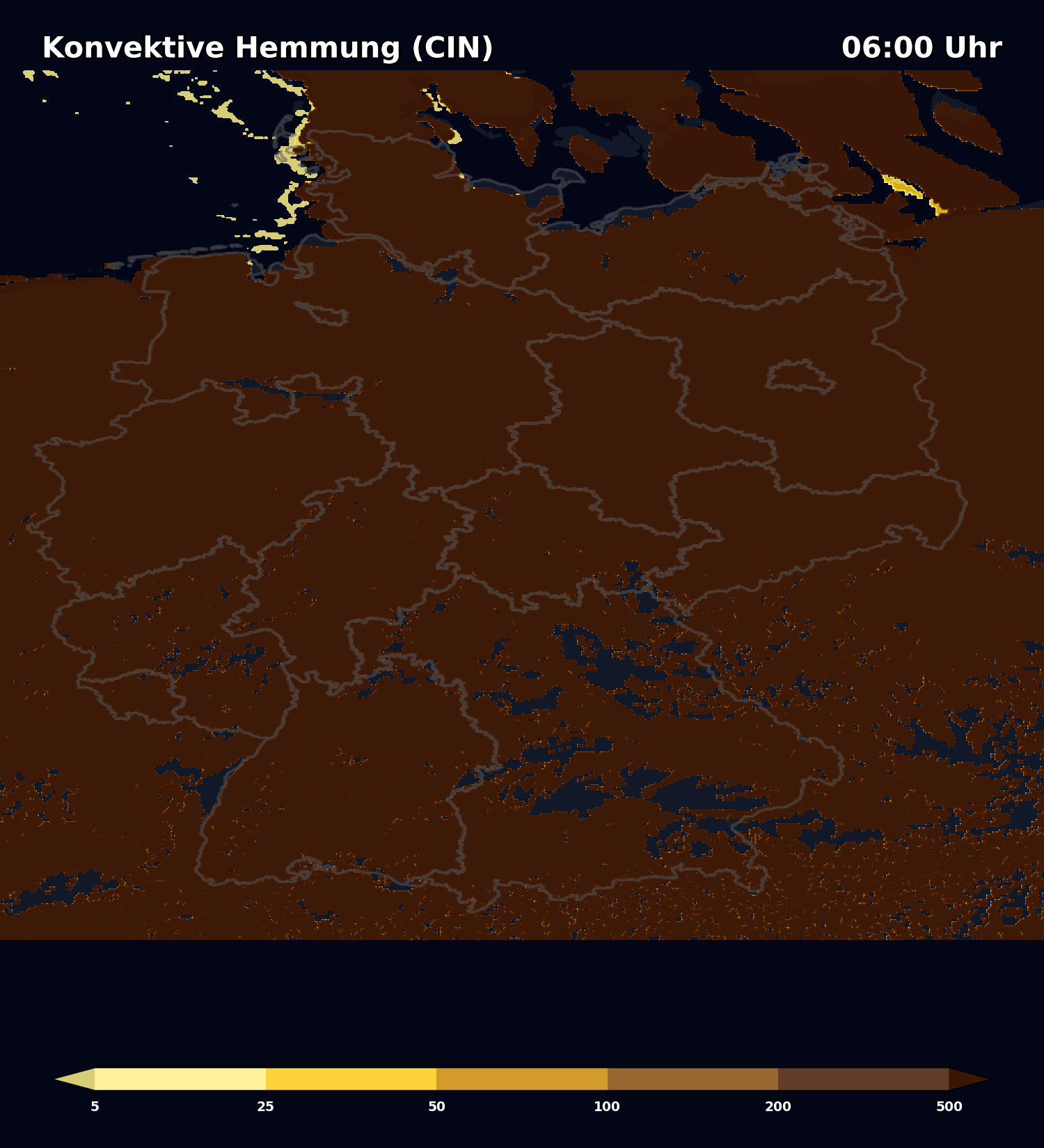
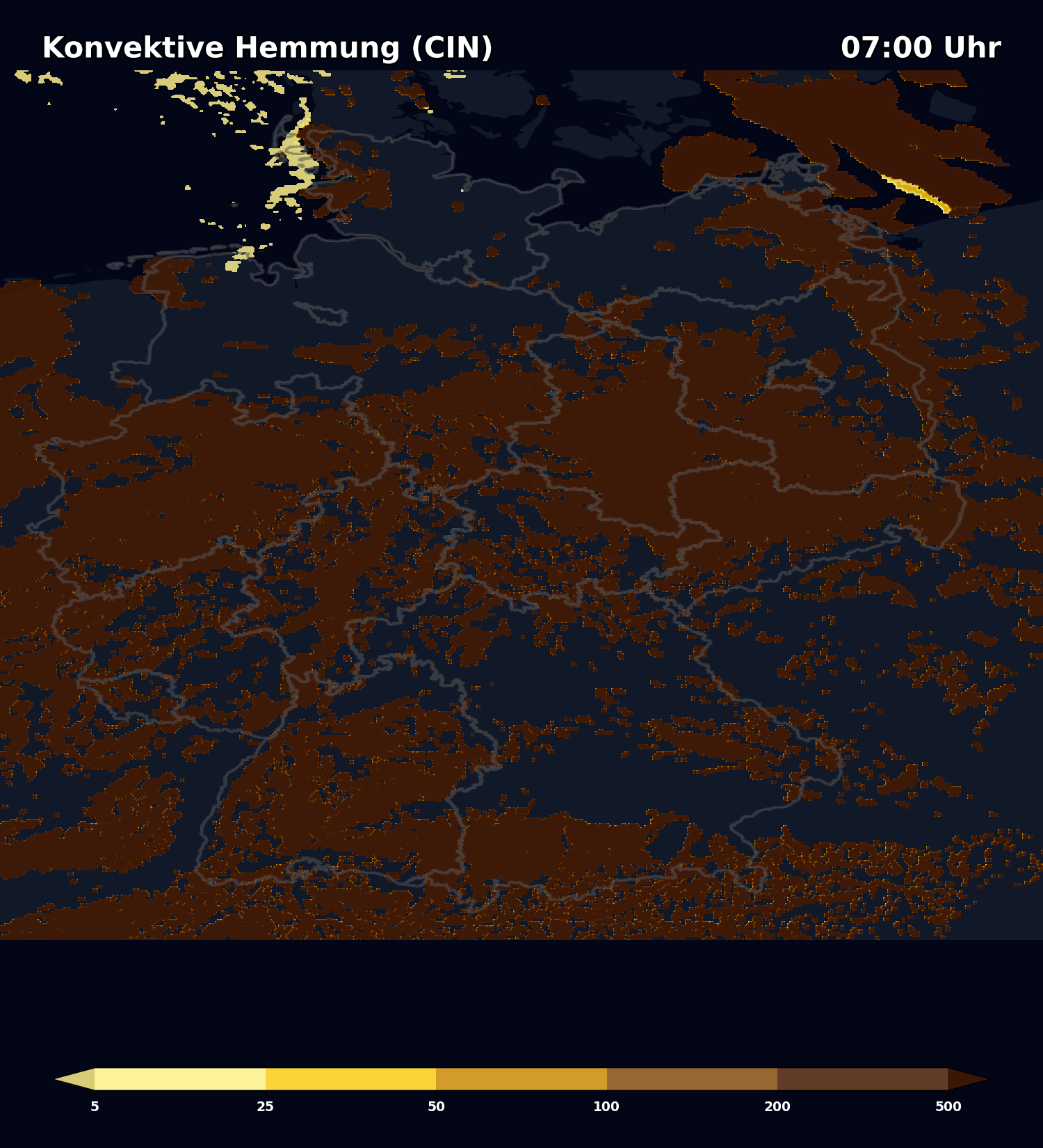
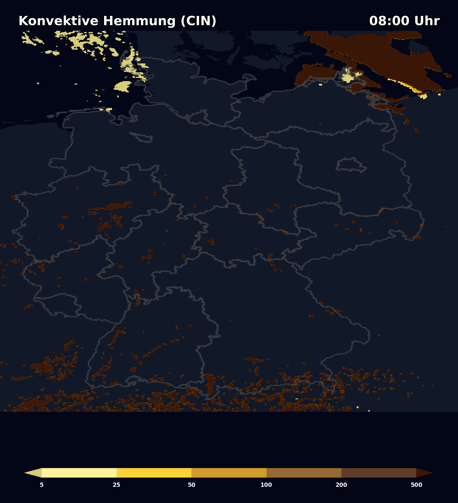
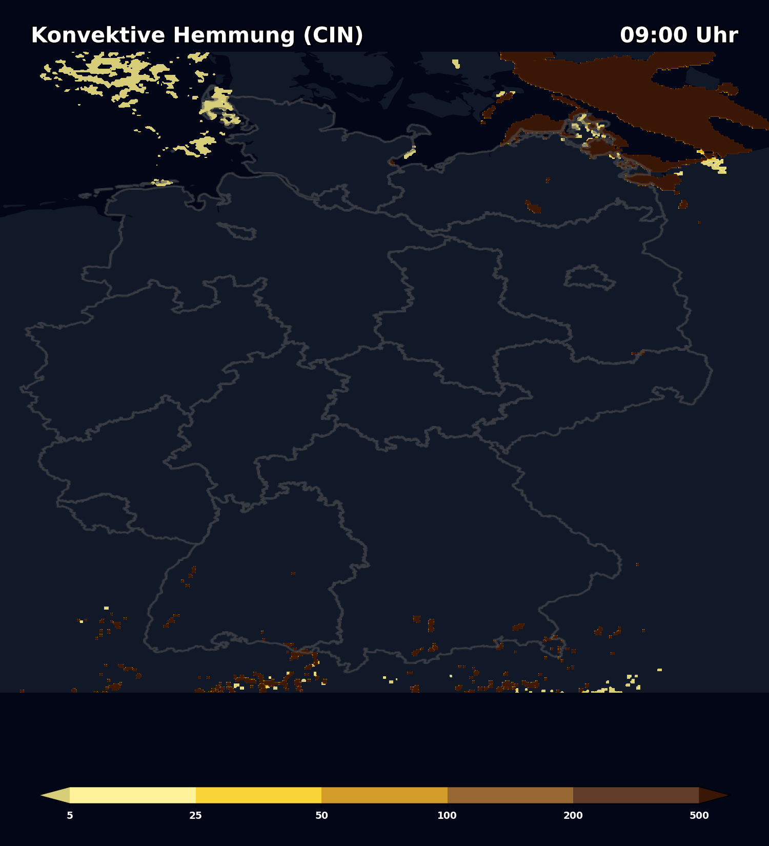
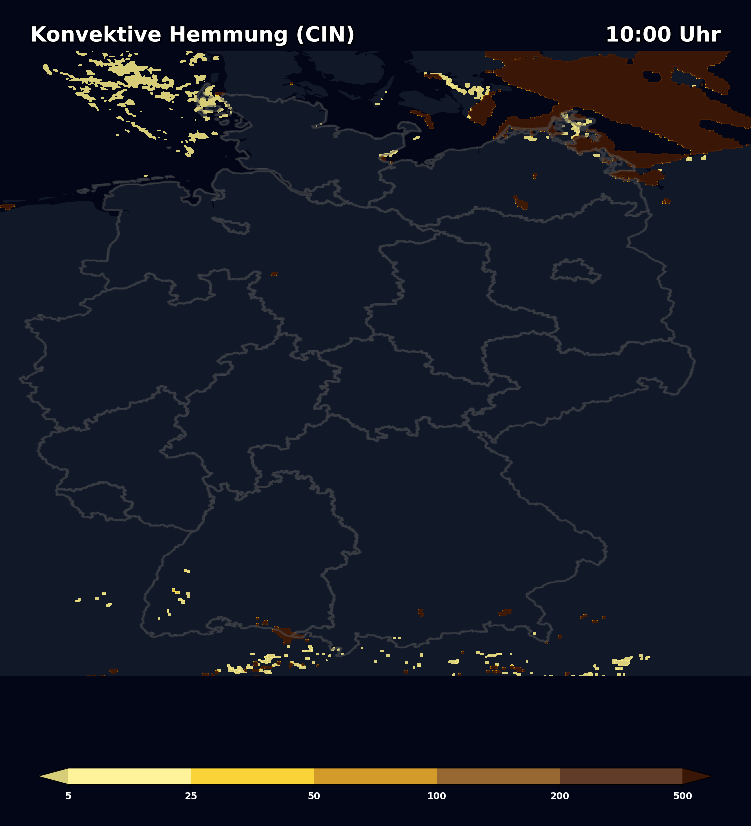
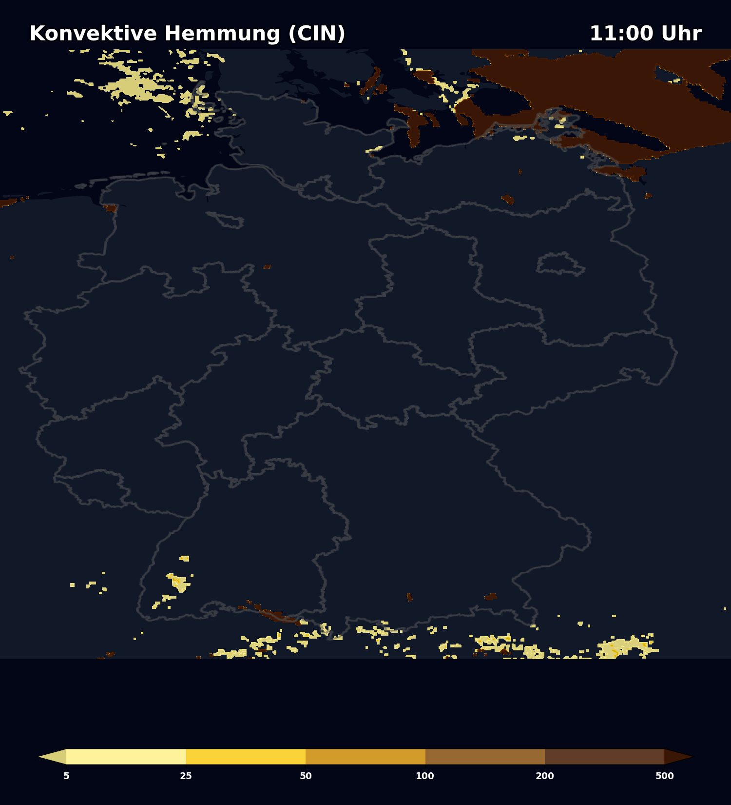
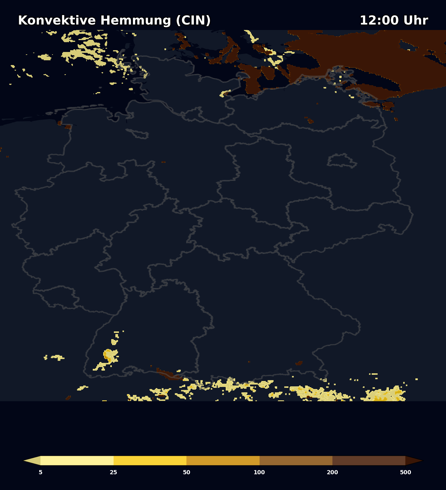
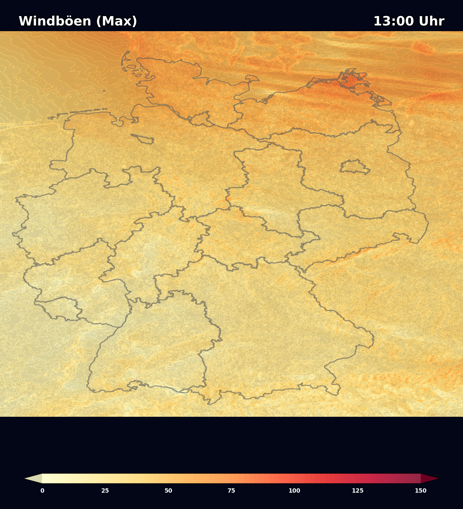
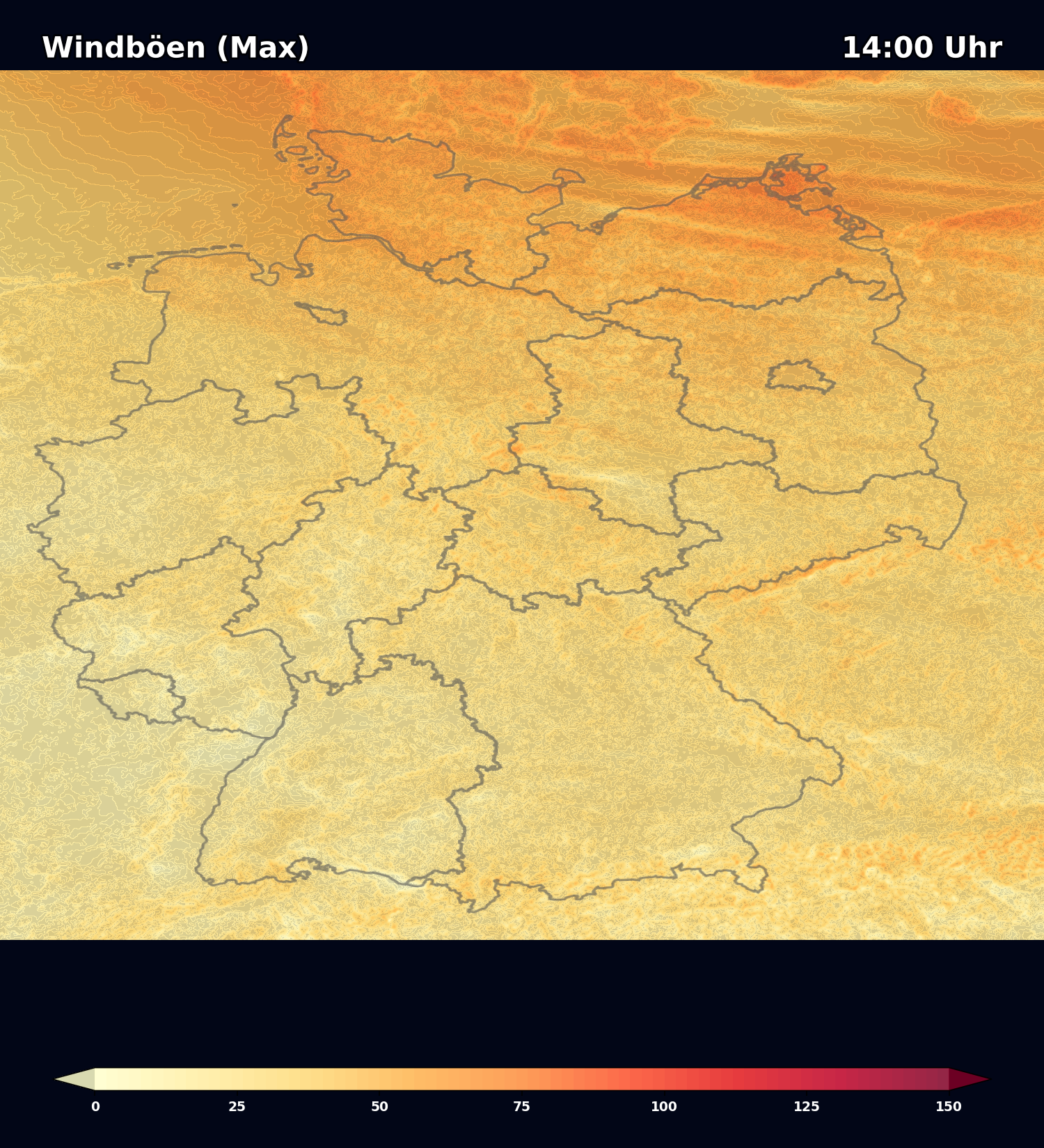
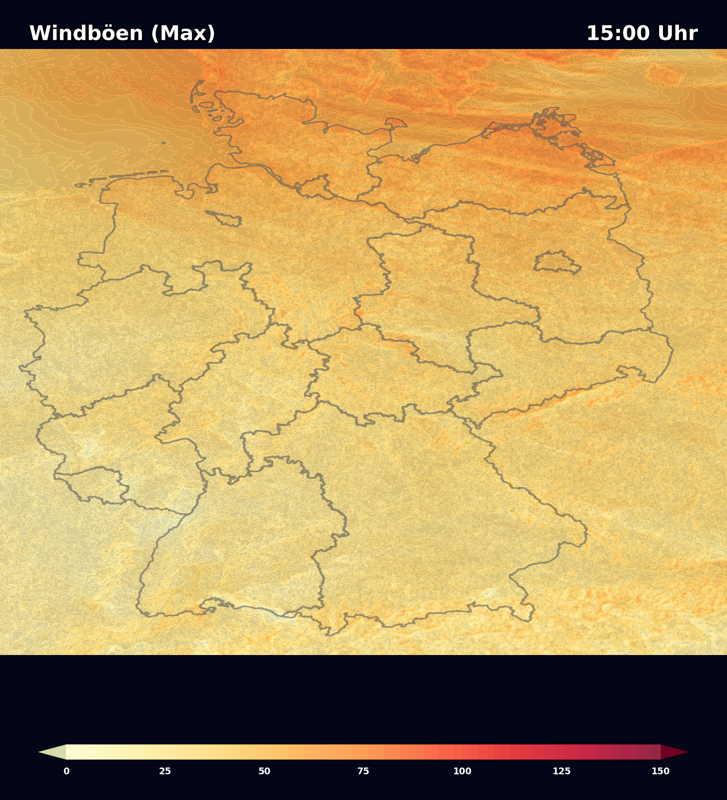
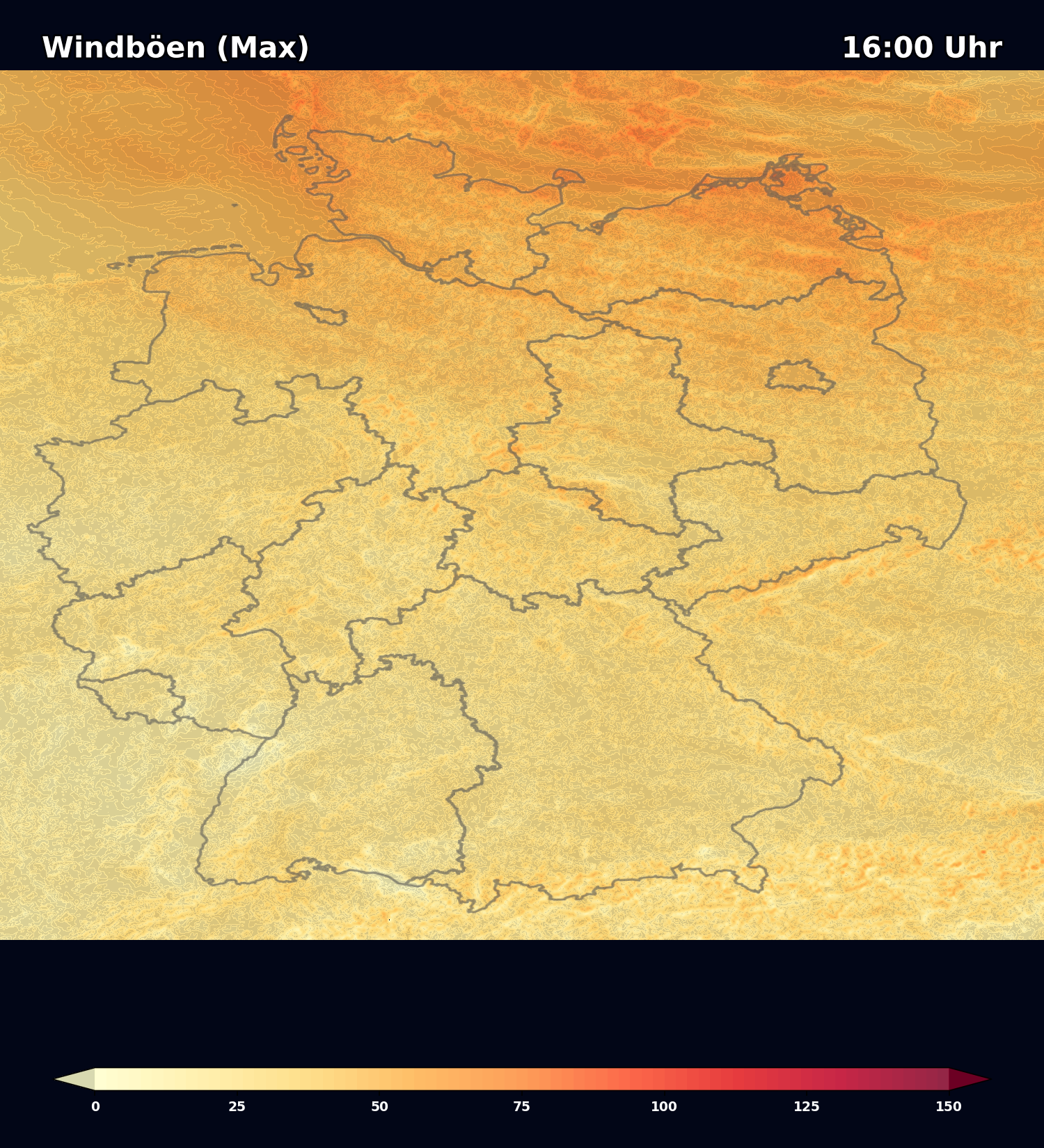
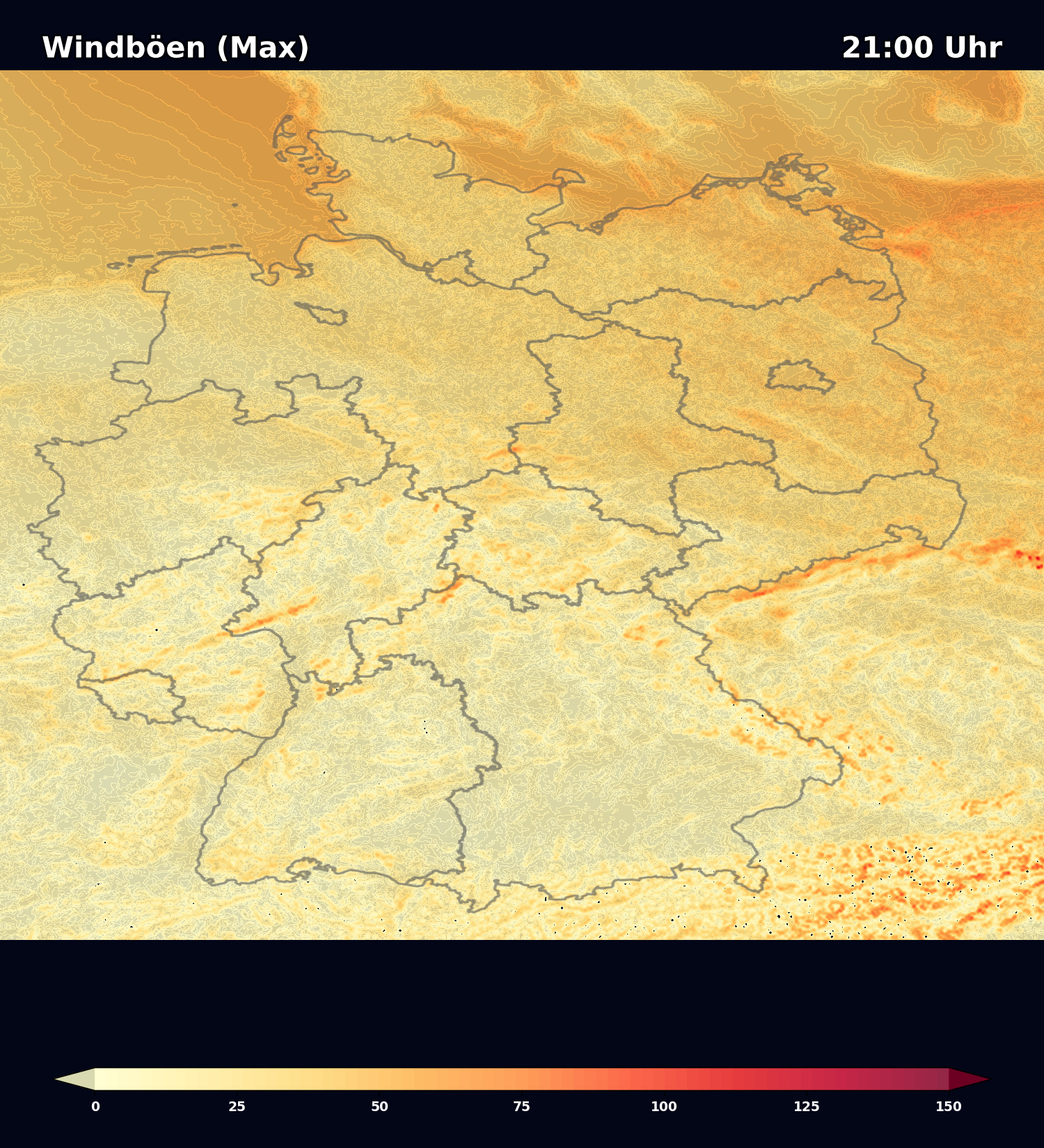
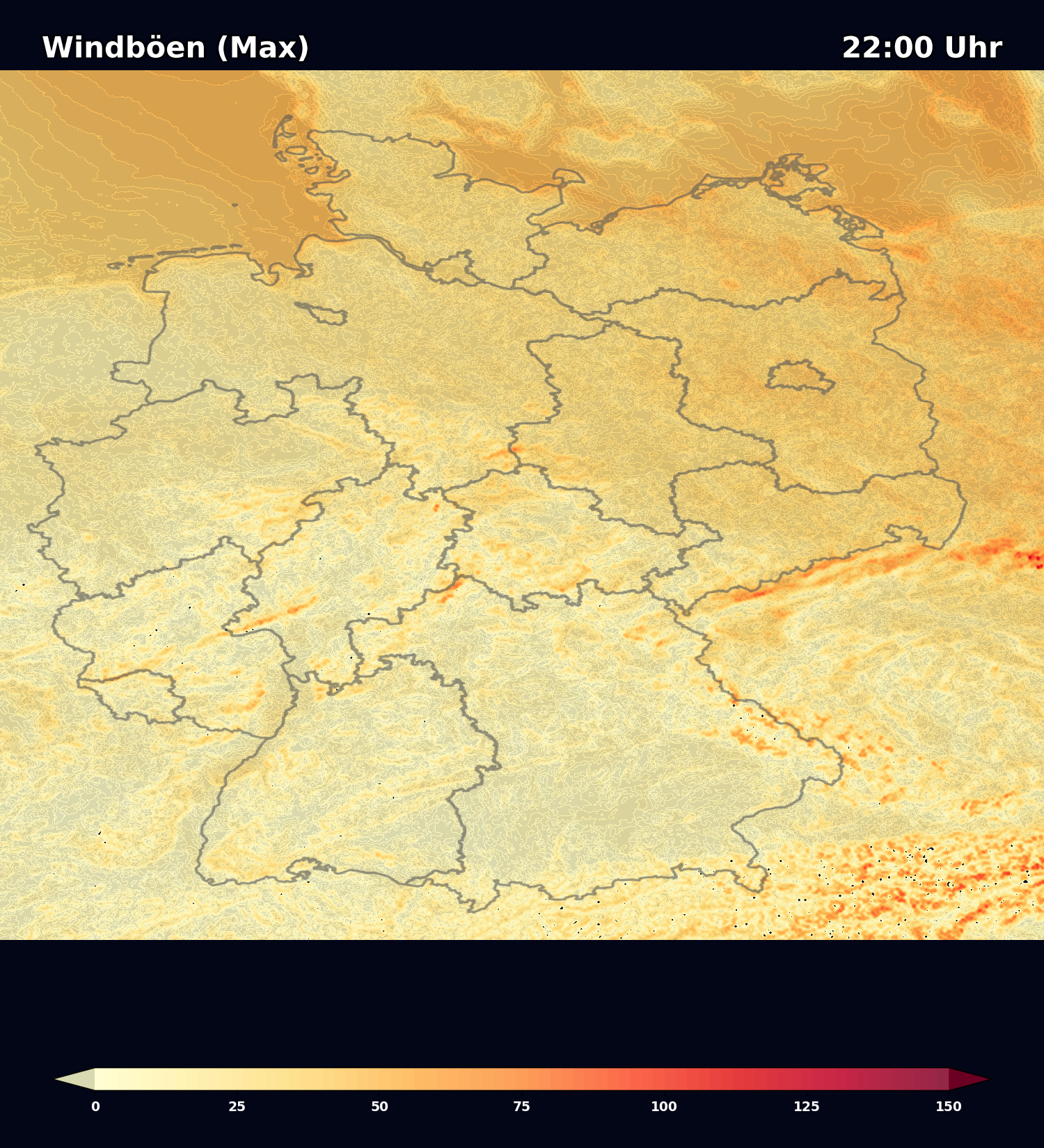
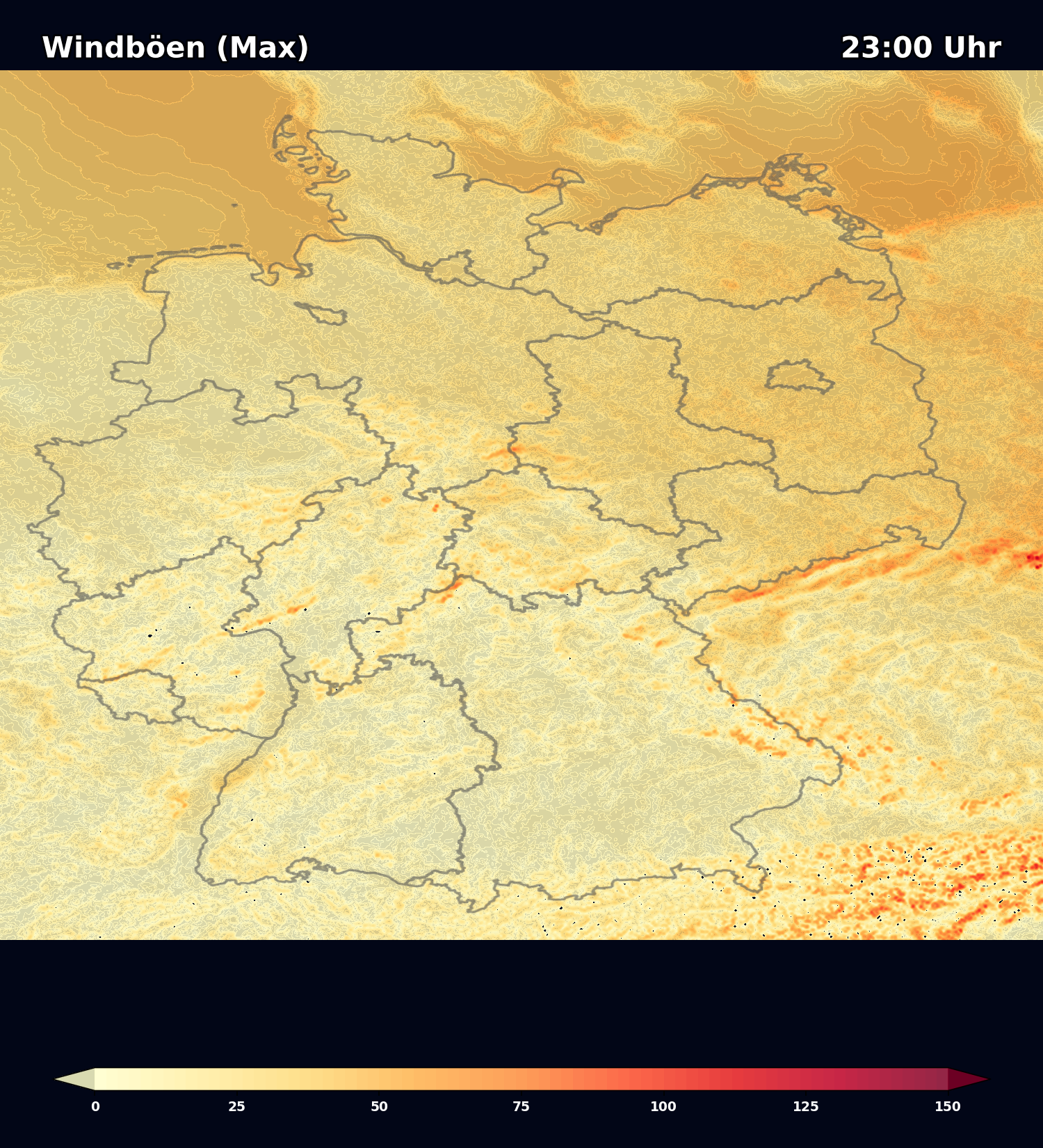
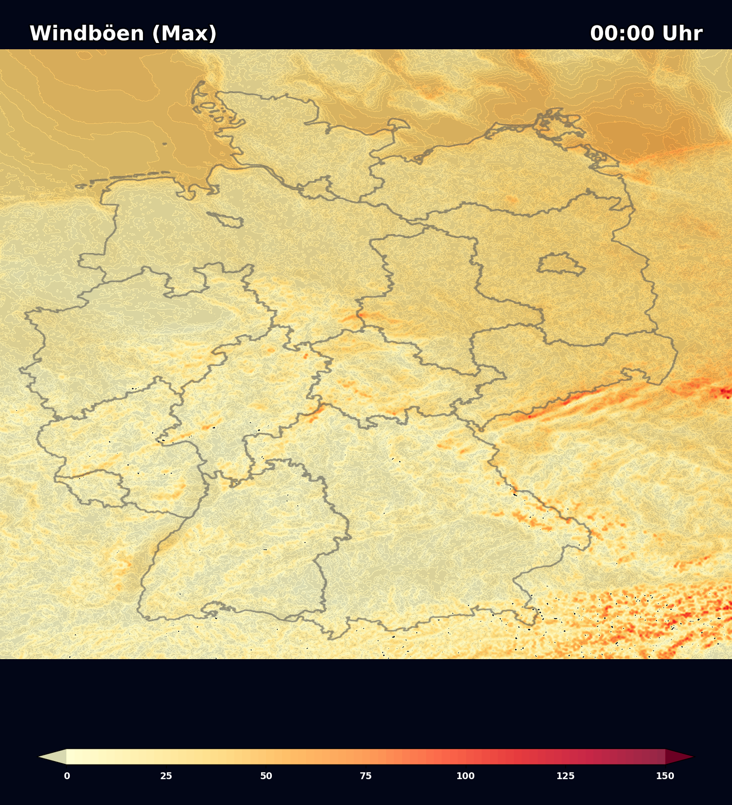
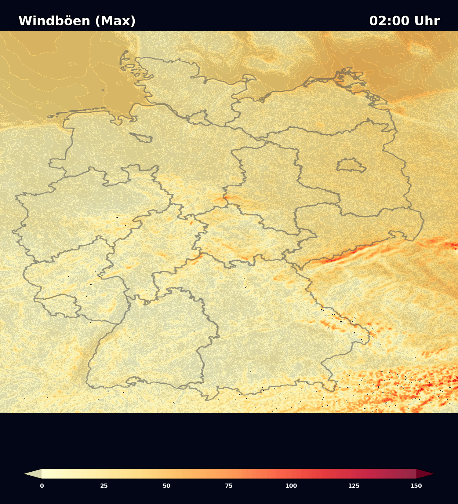
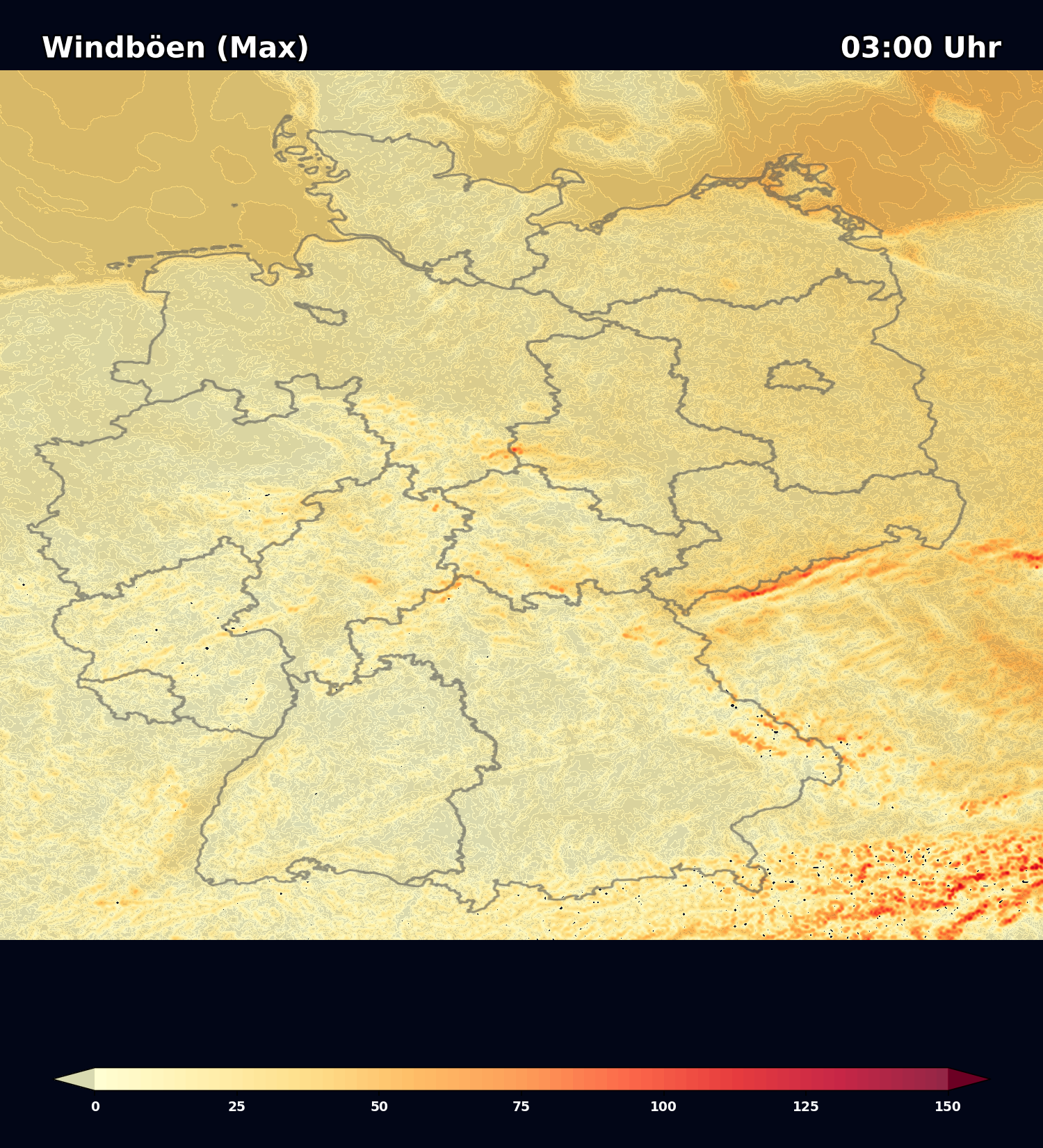
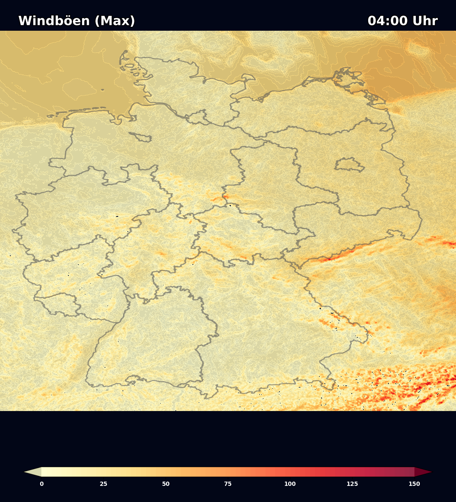
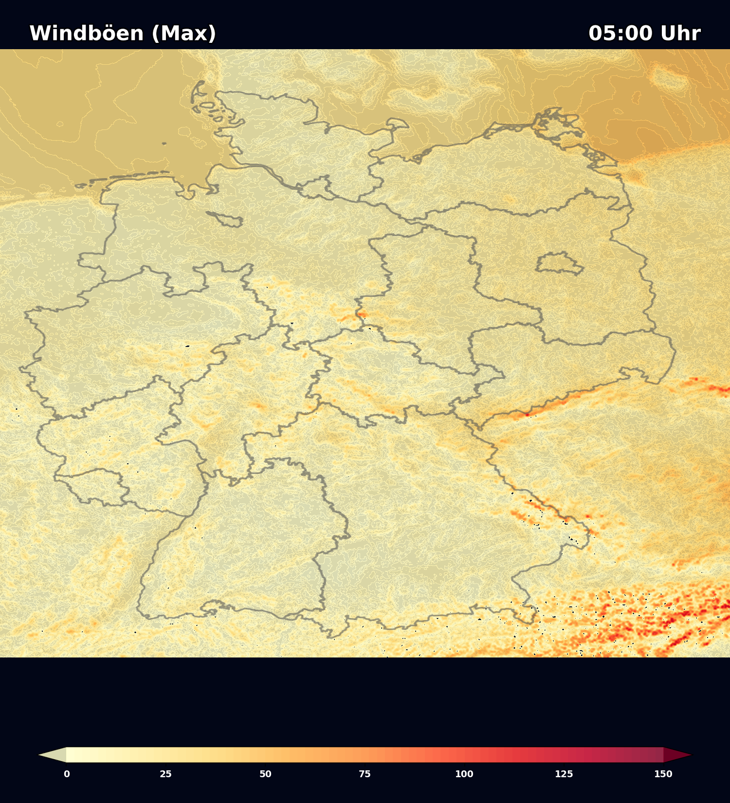
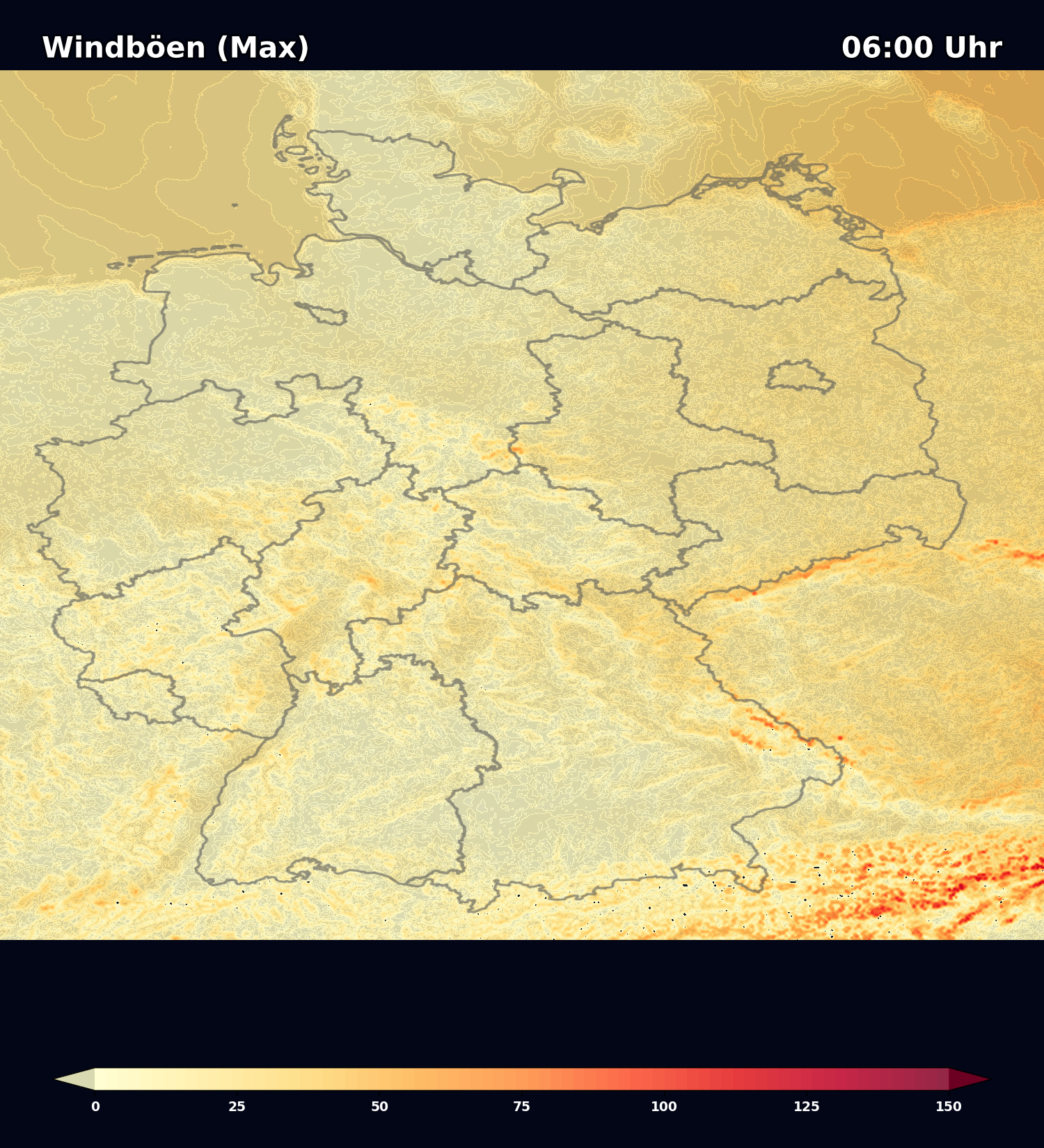
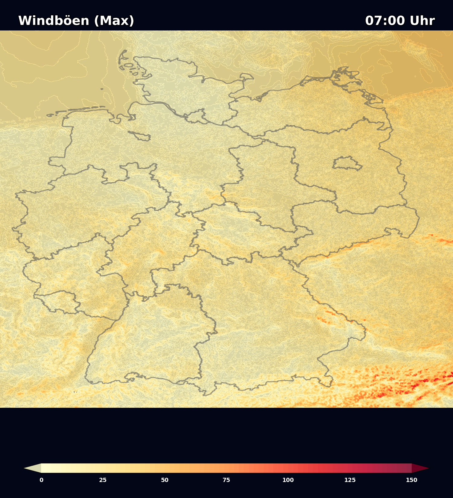
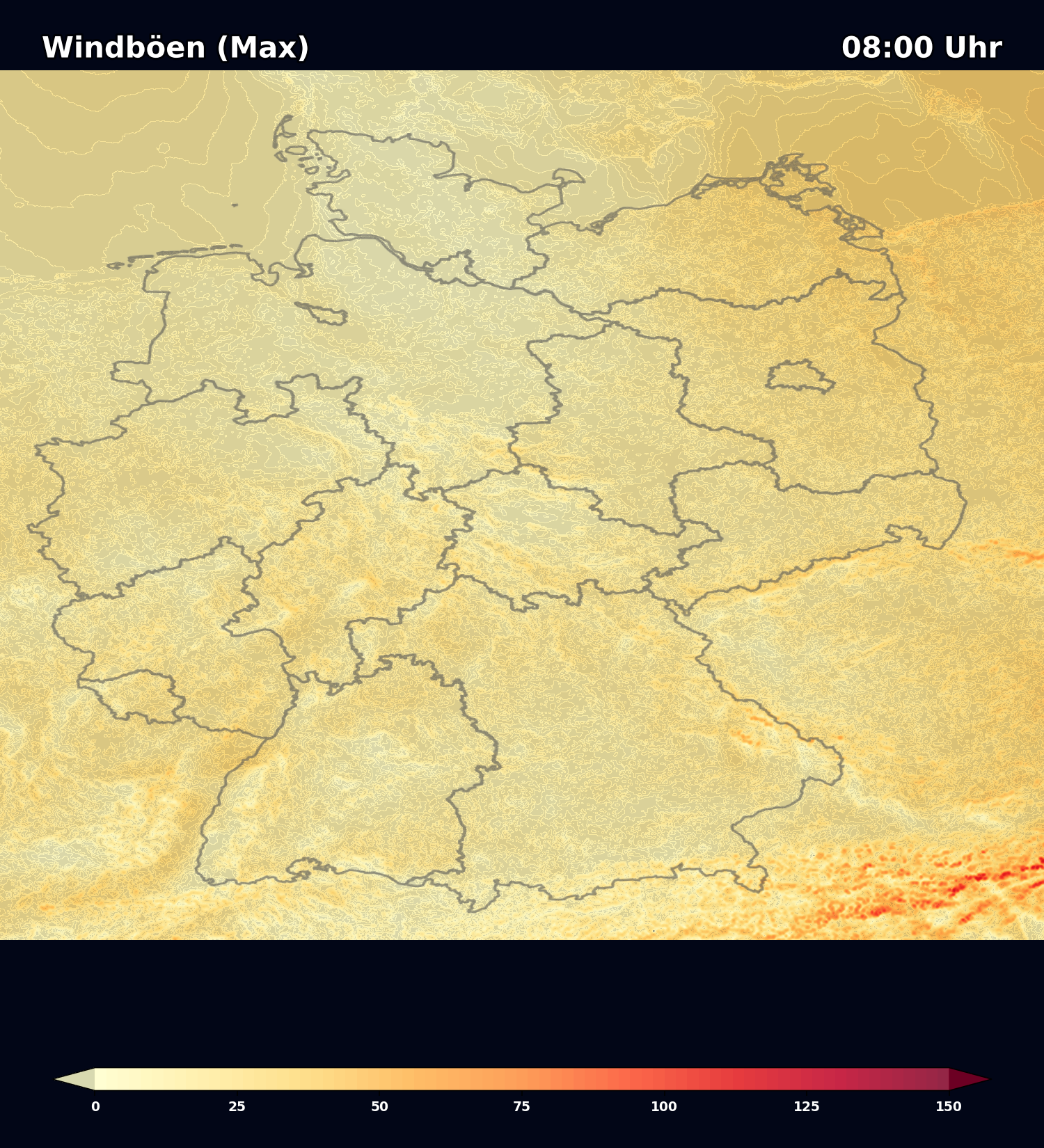
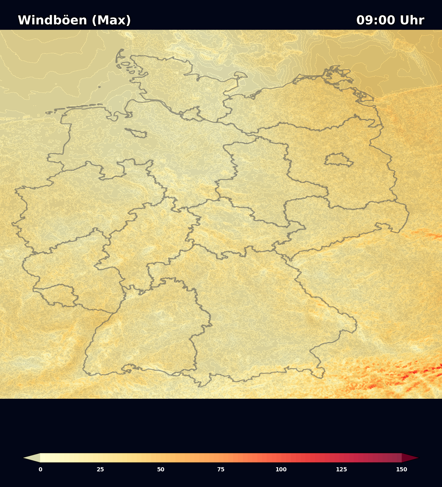
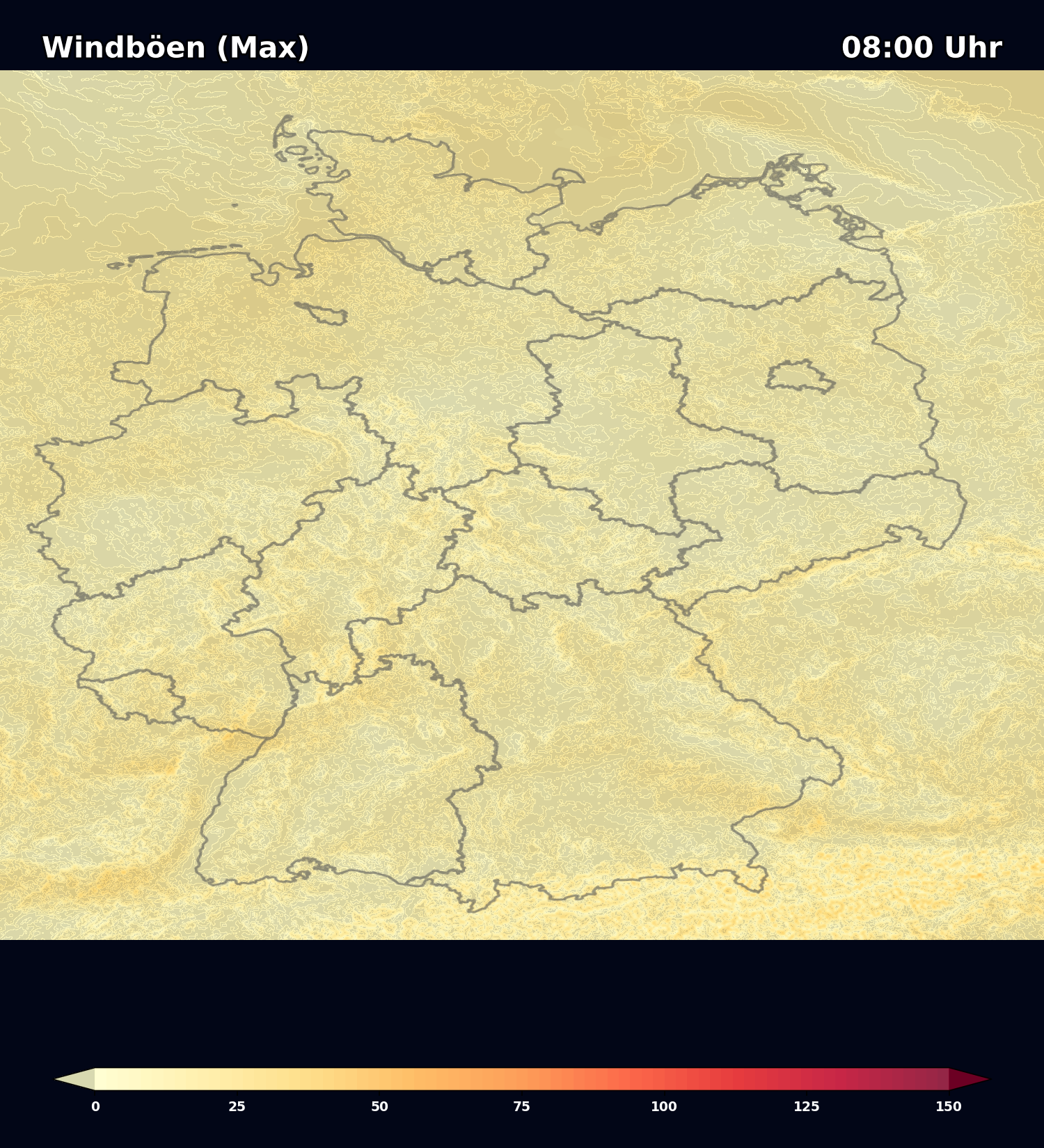
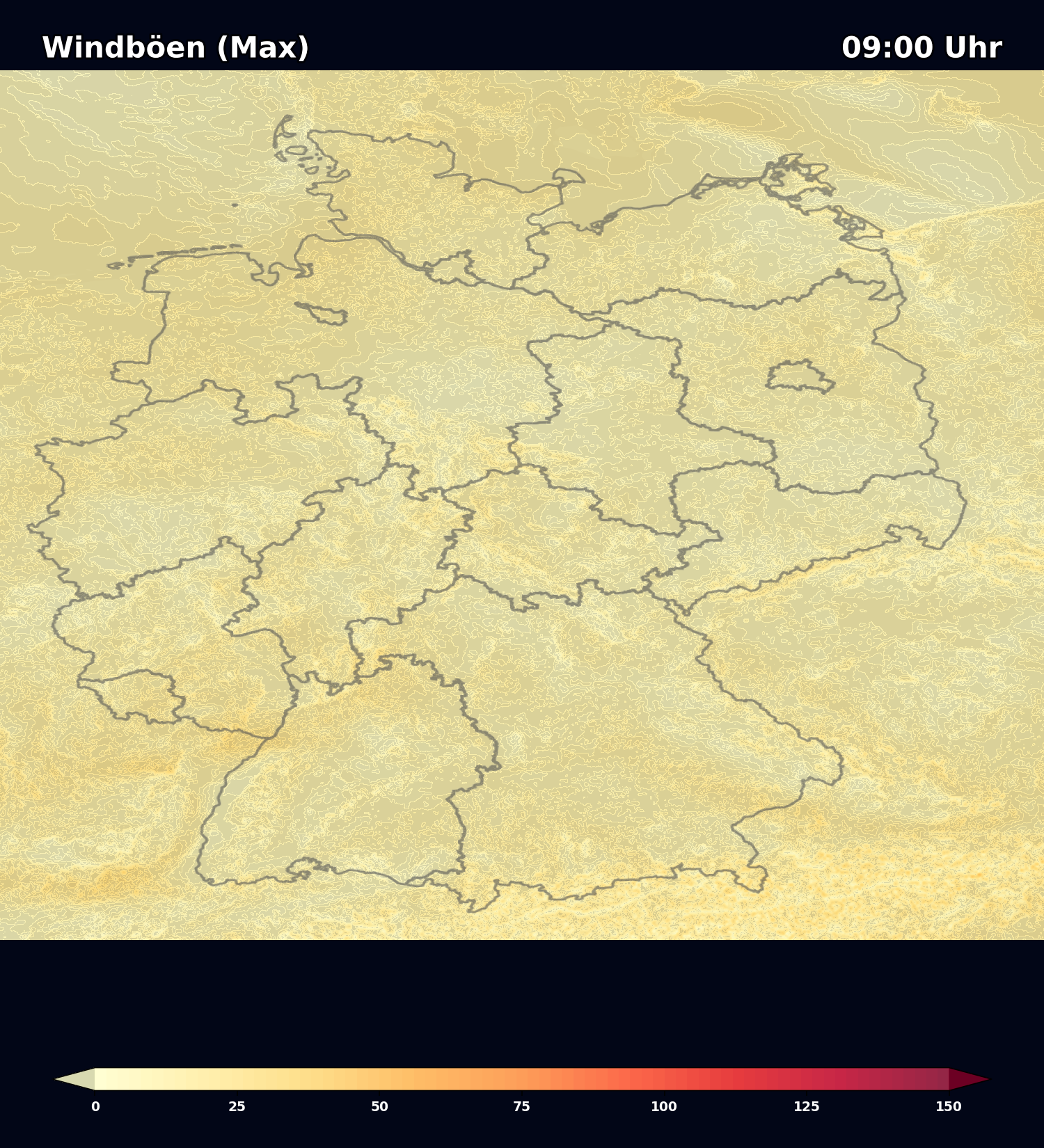
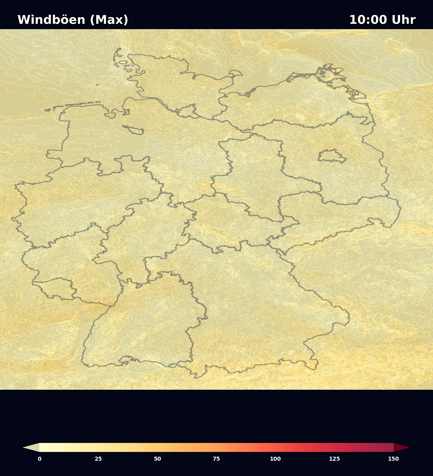
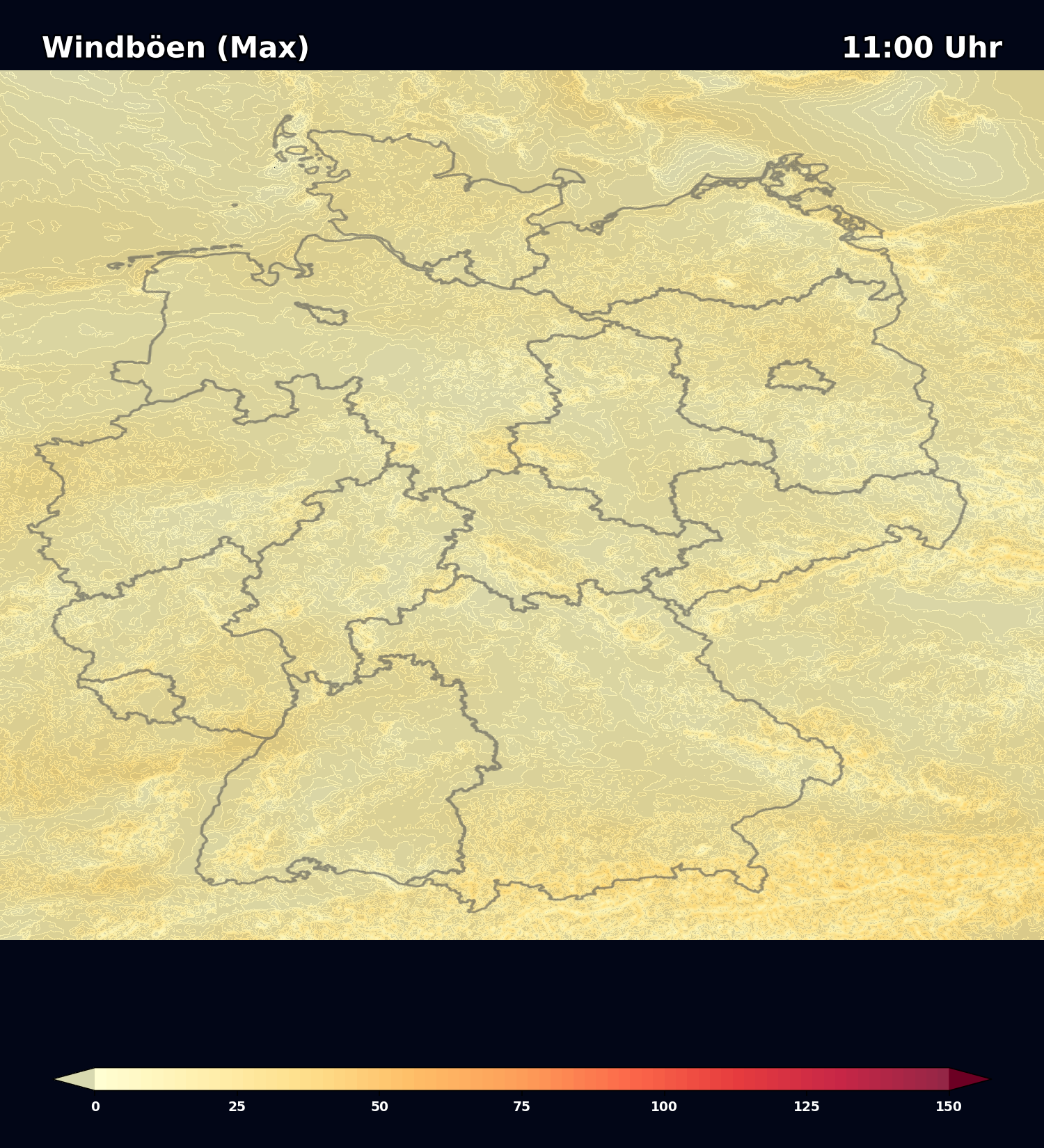
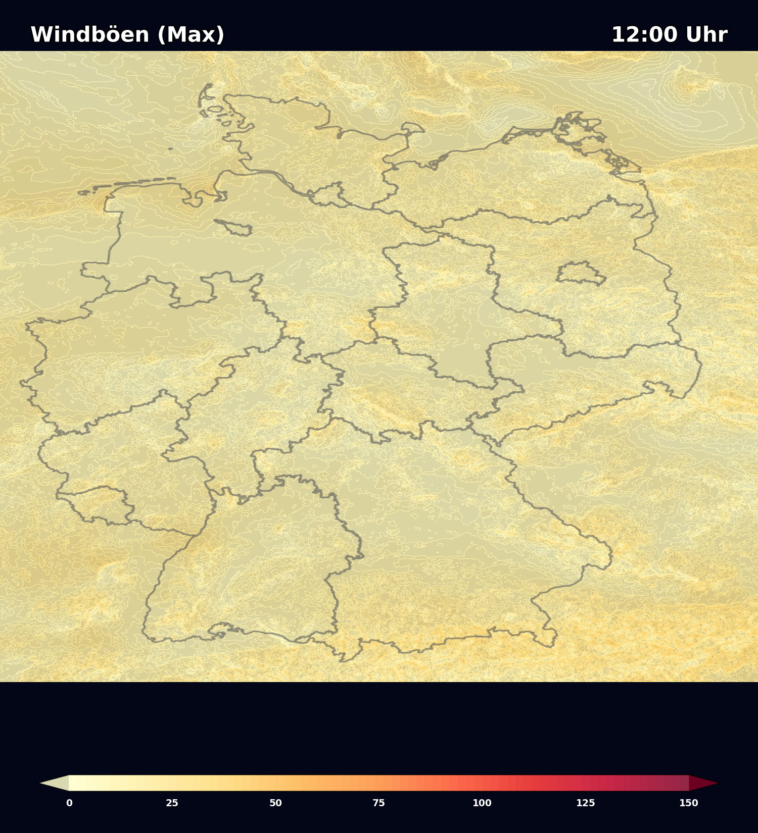
DWD ICON D2 Wettermodell
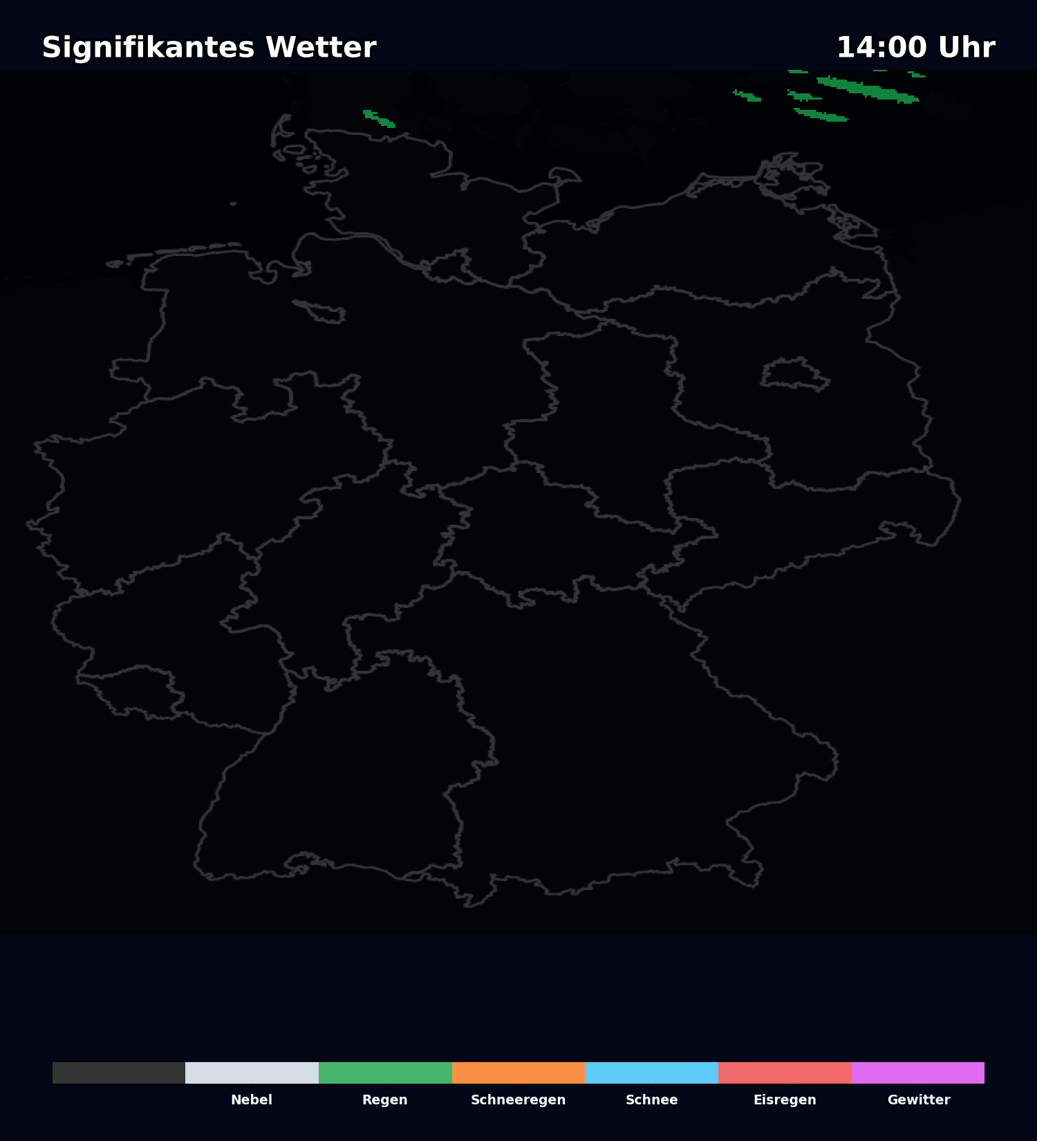
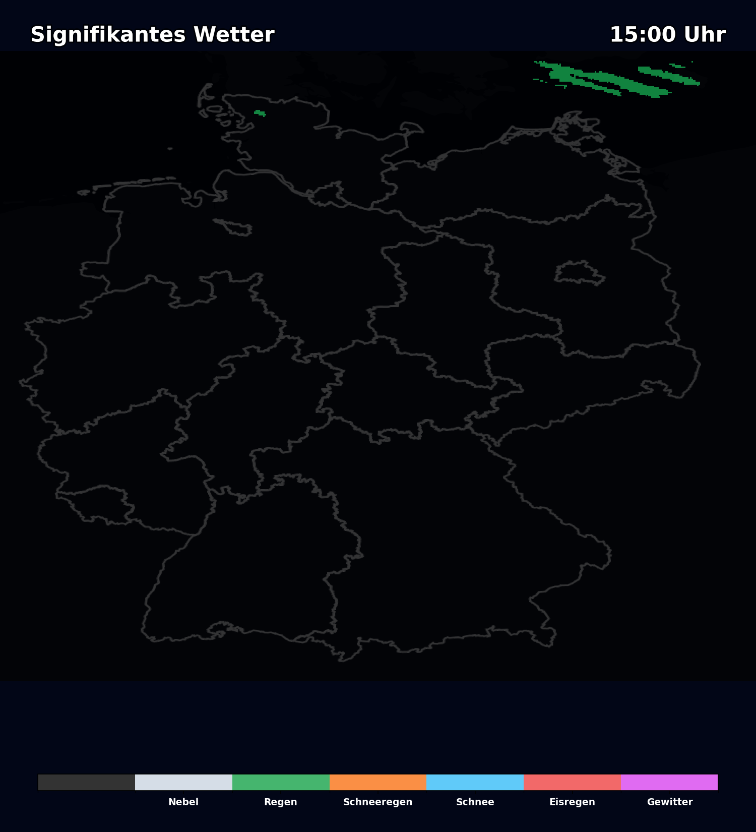
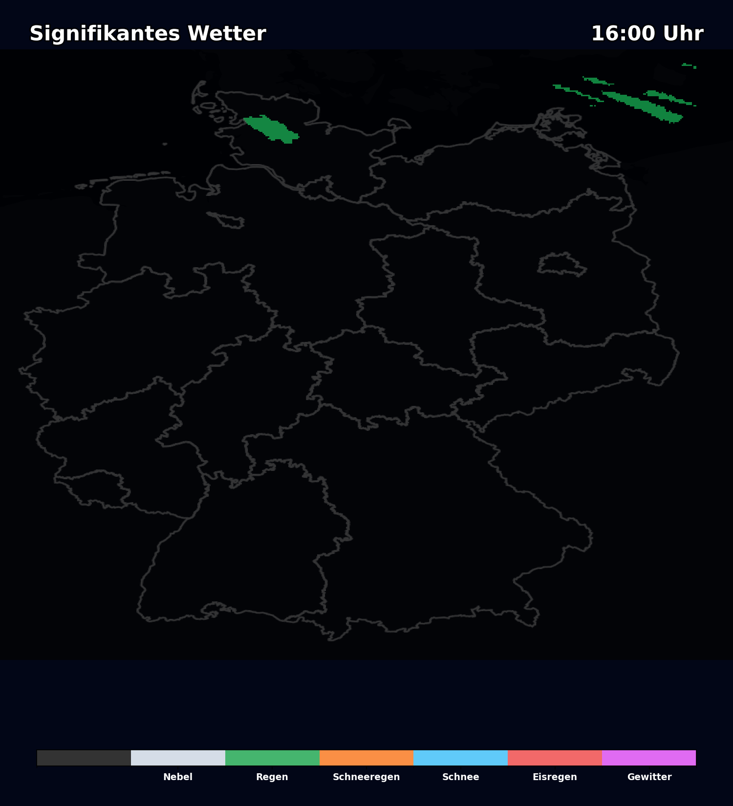
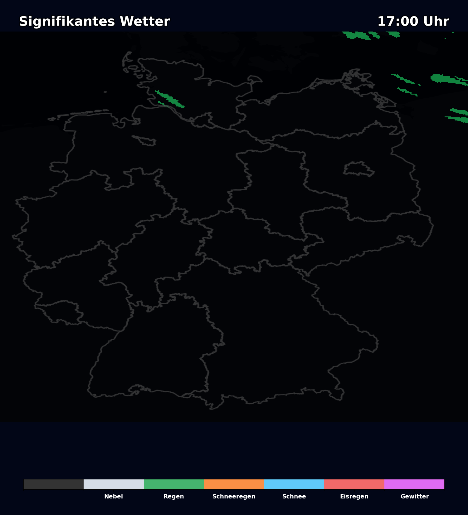
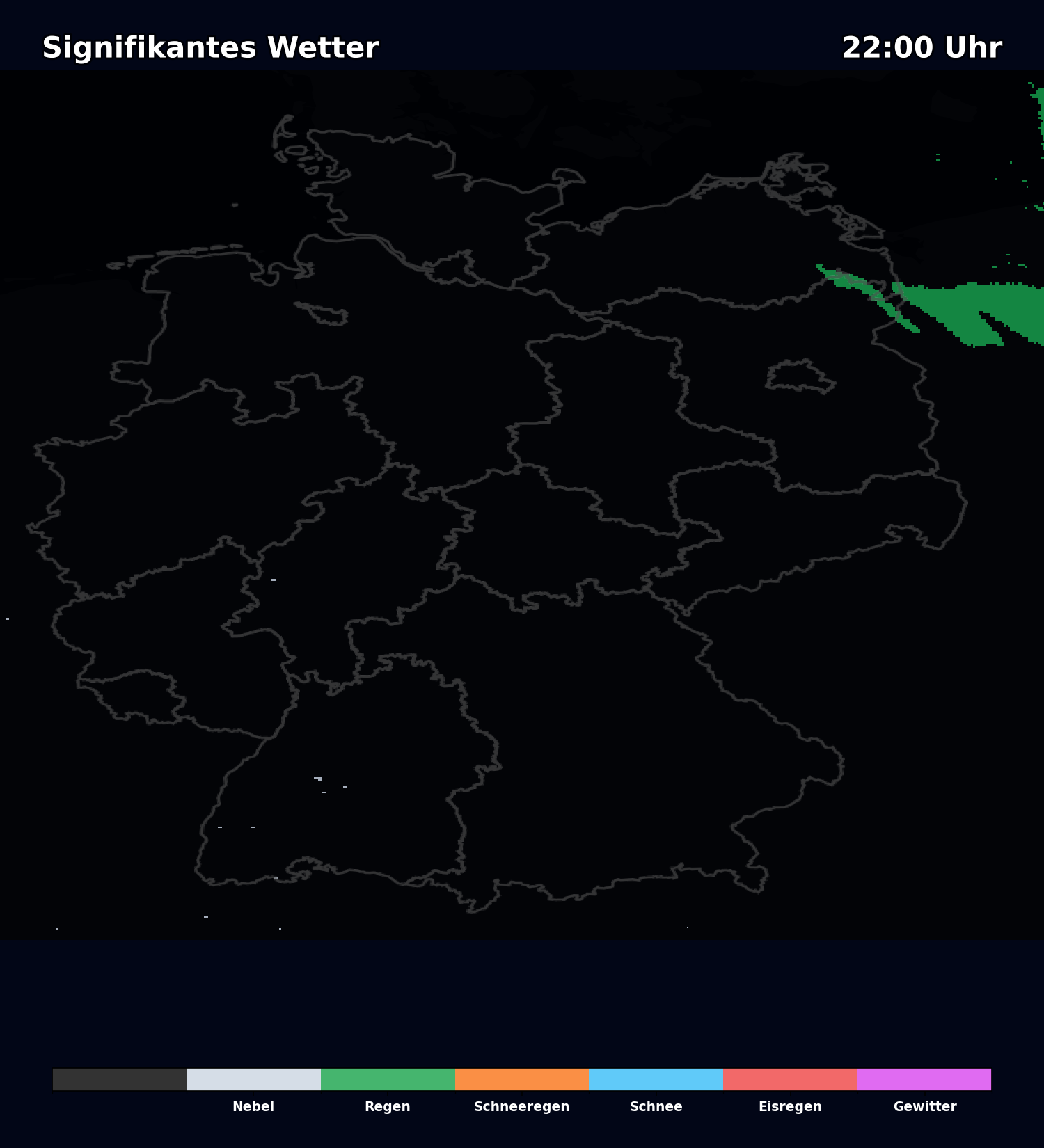
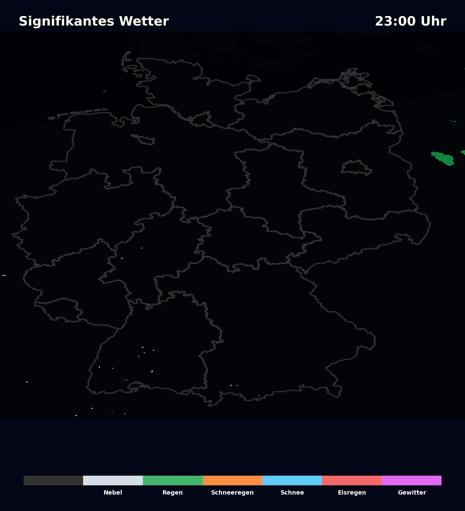
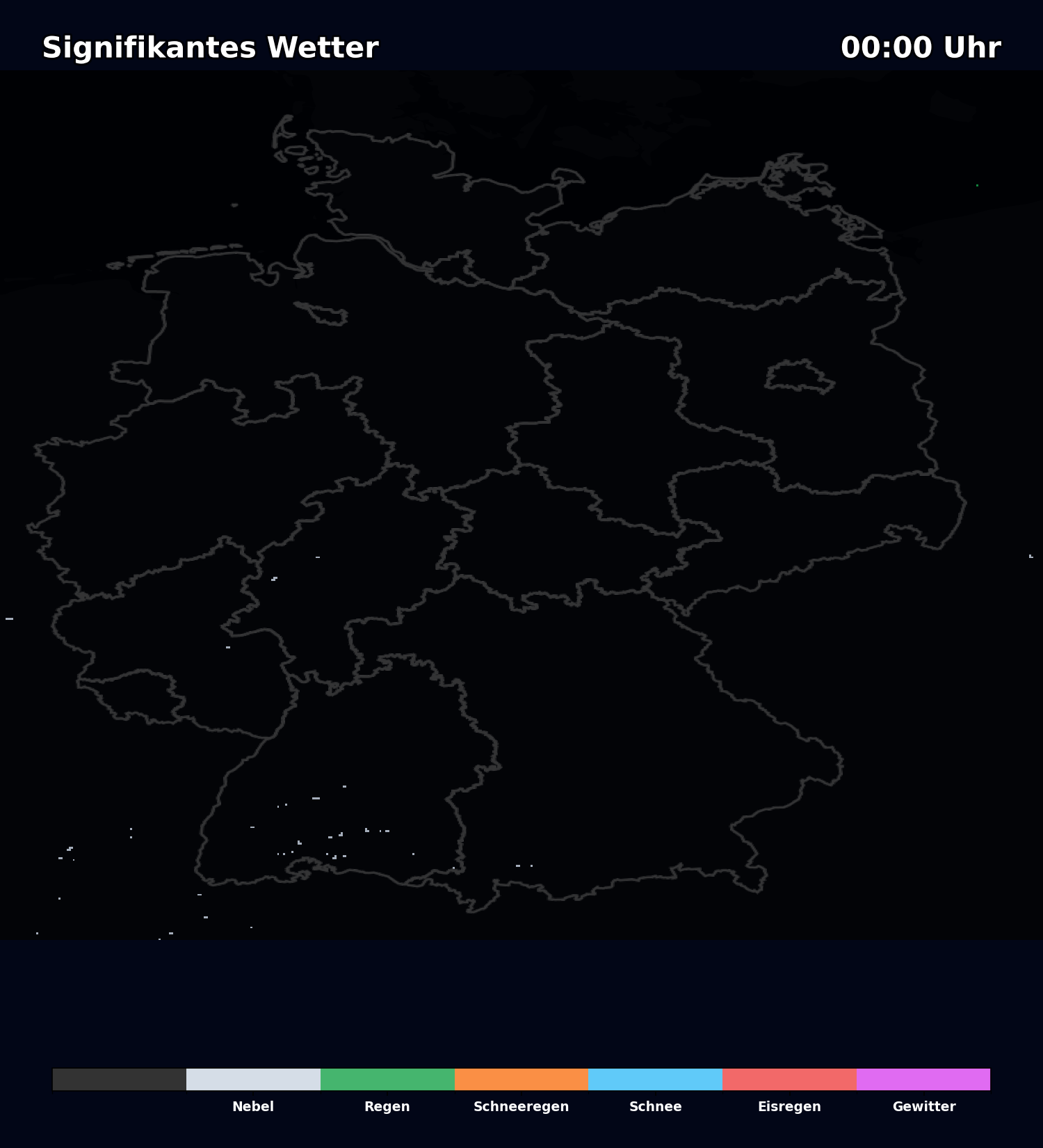
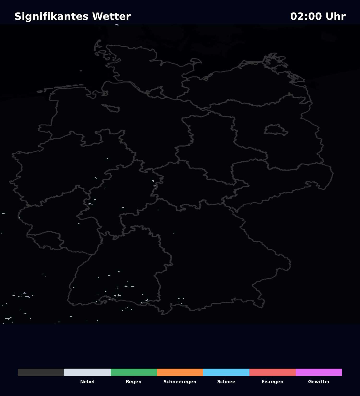
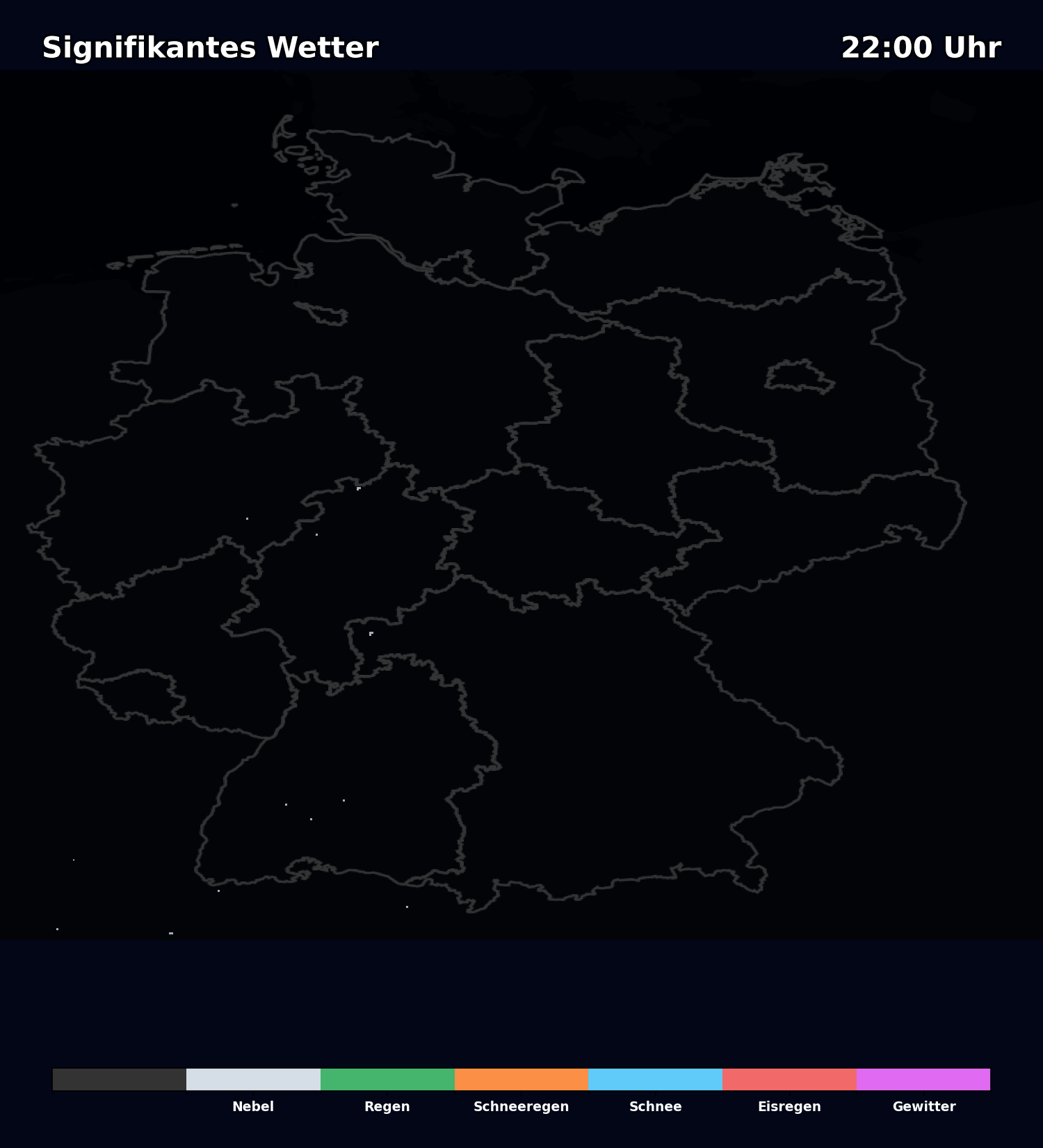
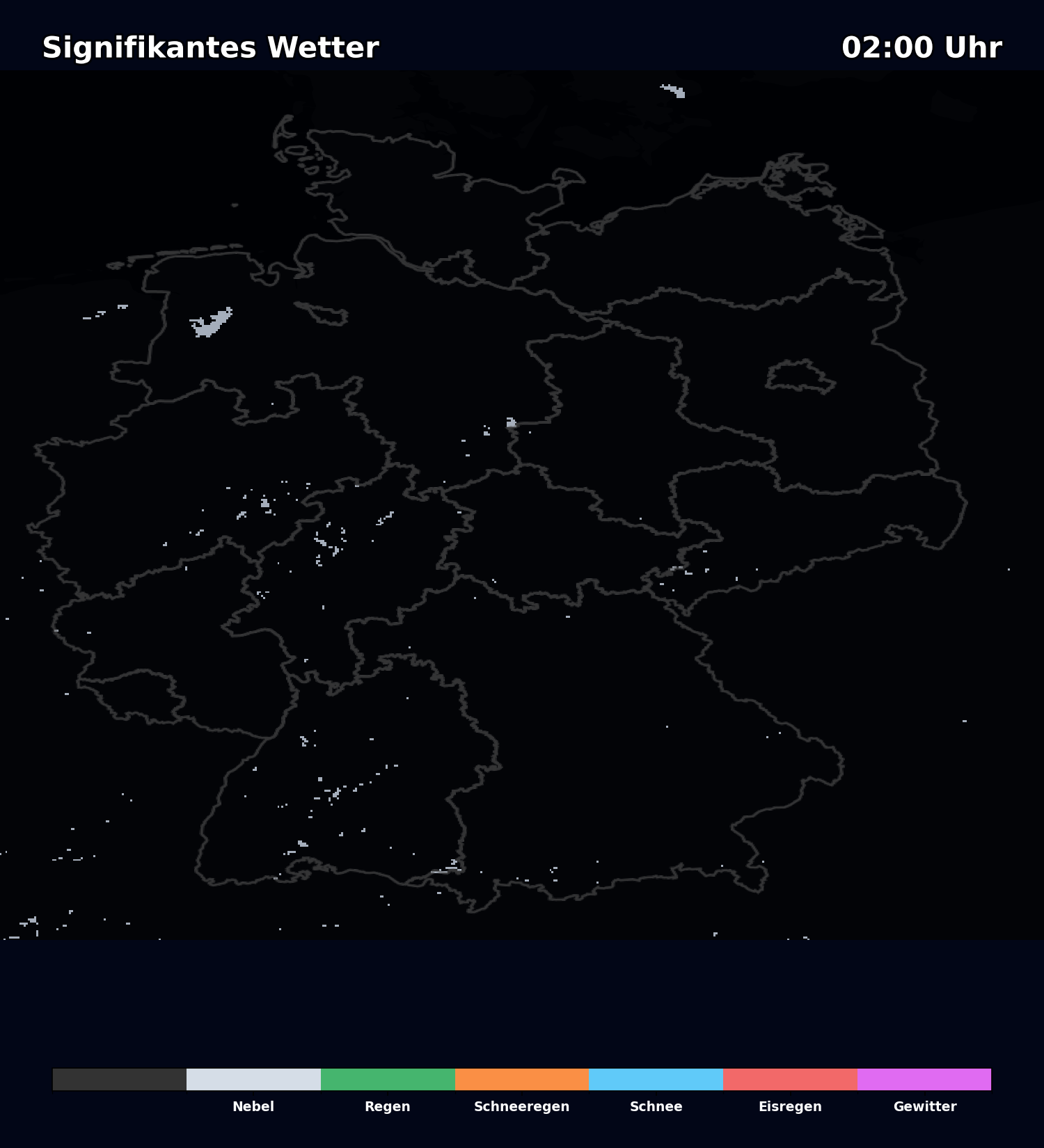
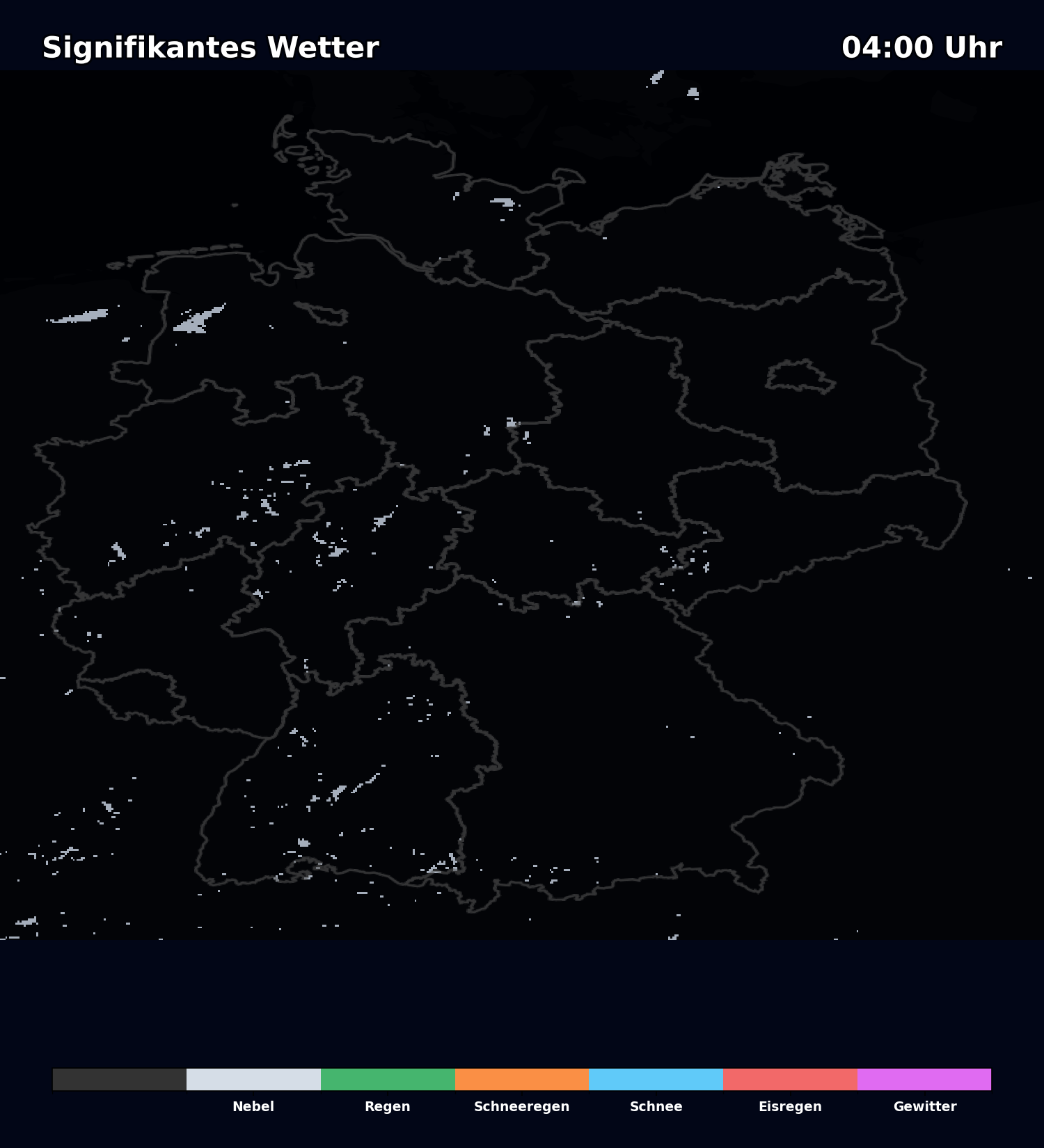
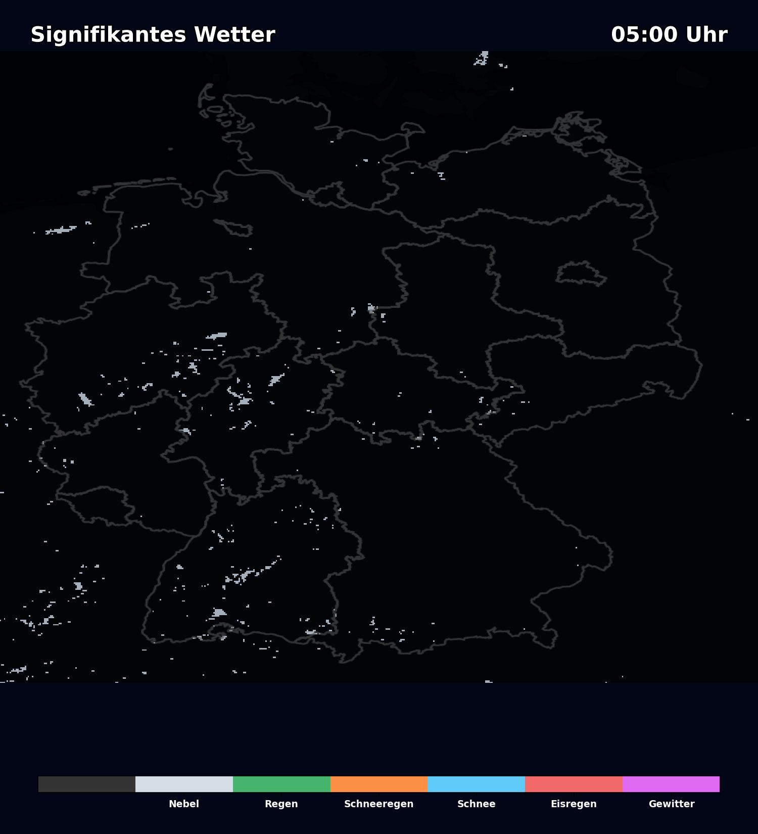
Signifikantes Wetter
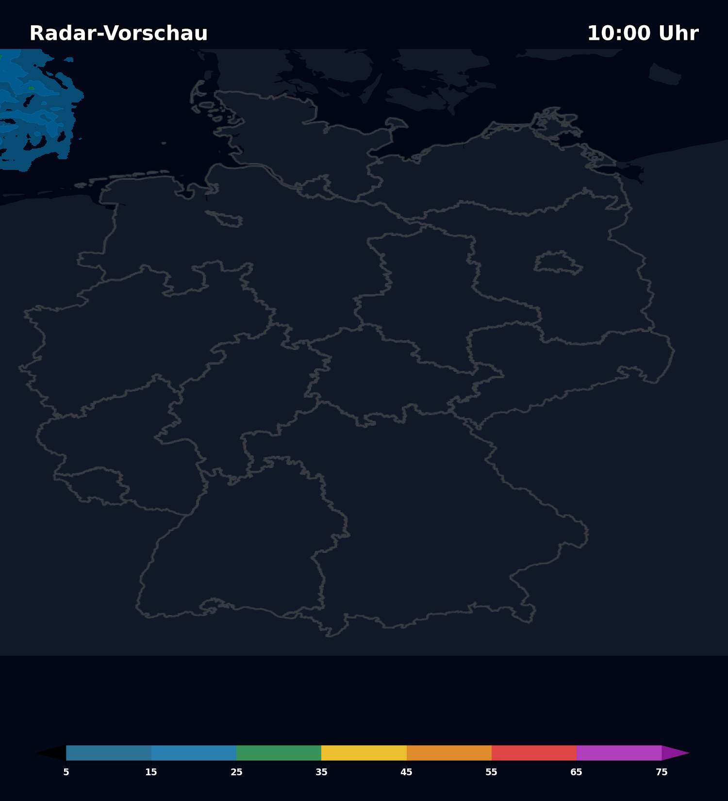
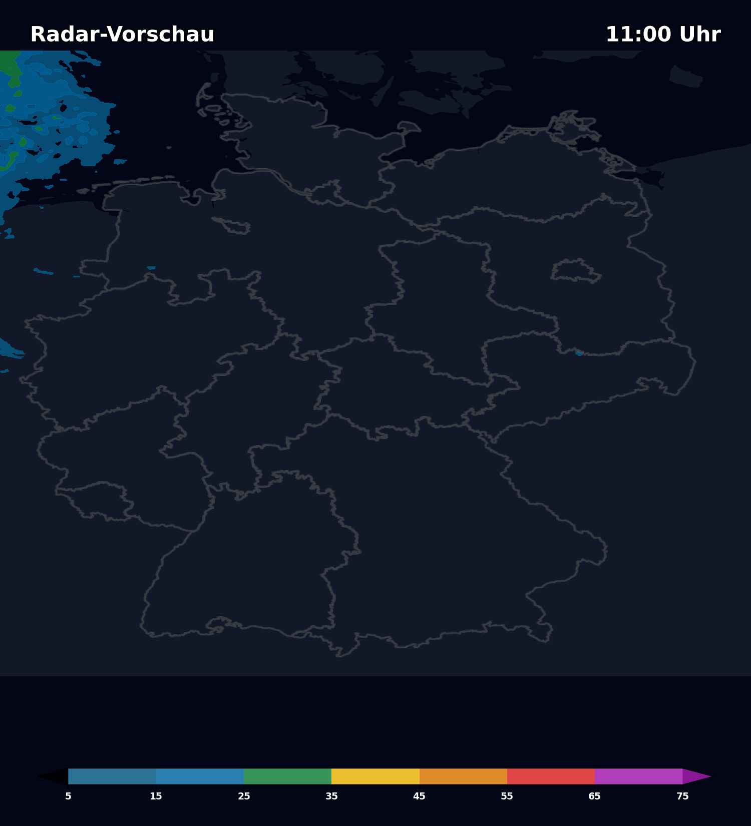
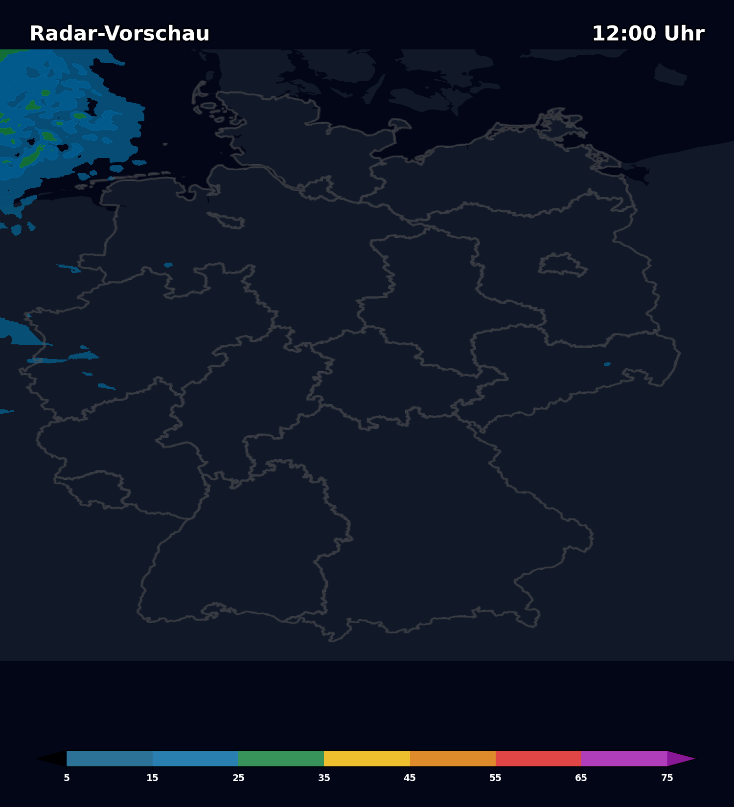
ICON-D2 HD • Run: 25.04. 12:00 UTC
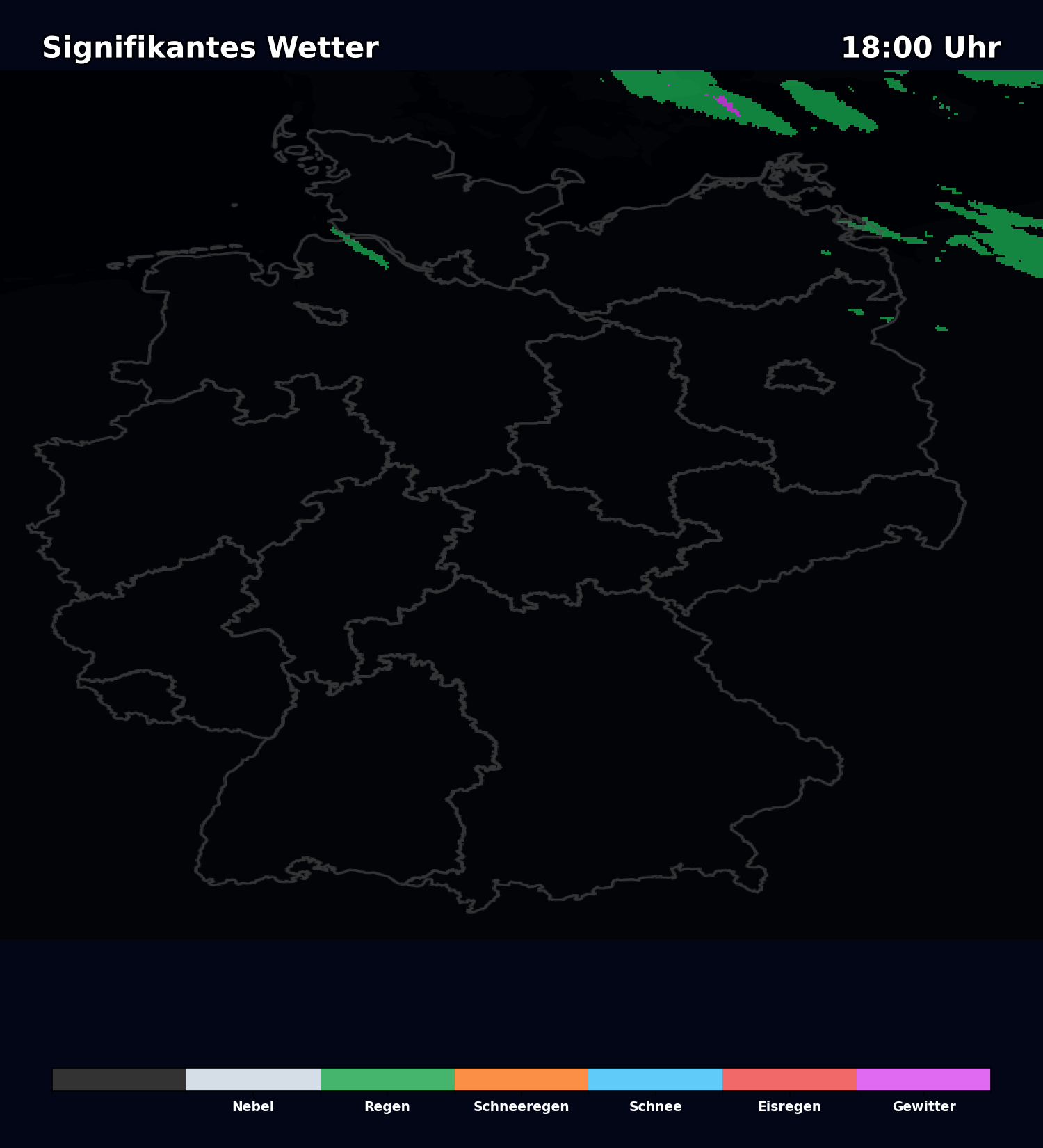
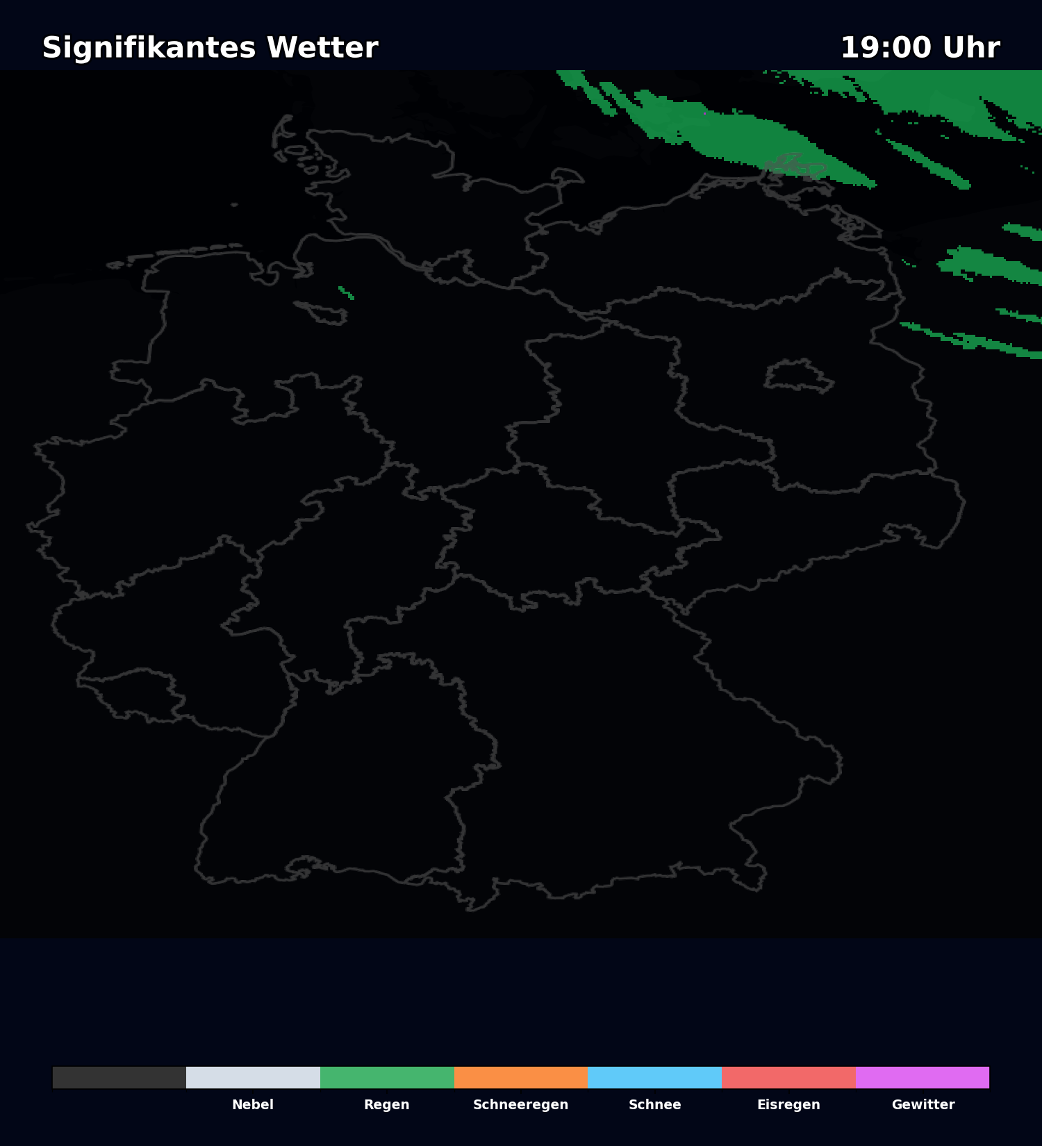
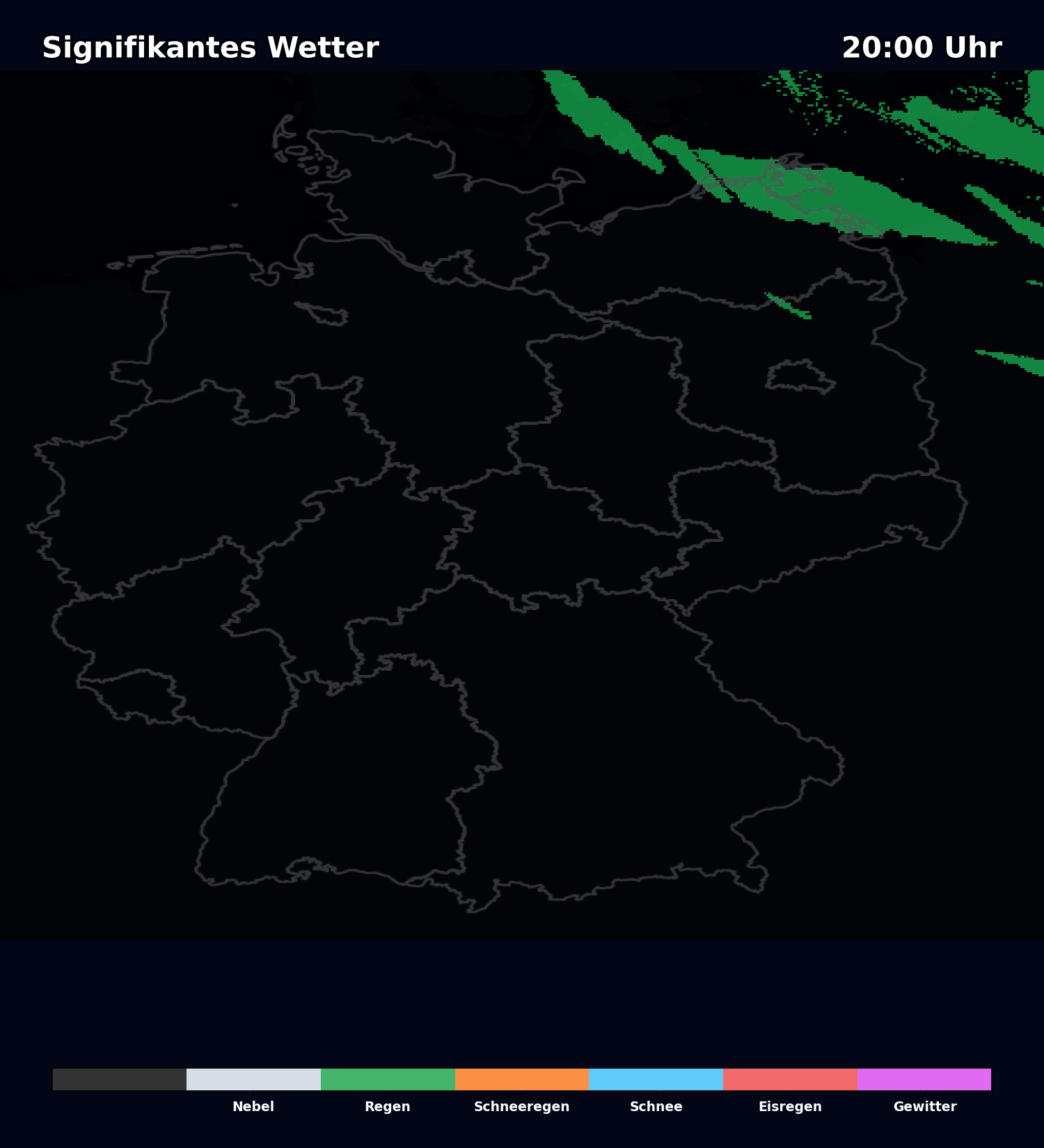
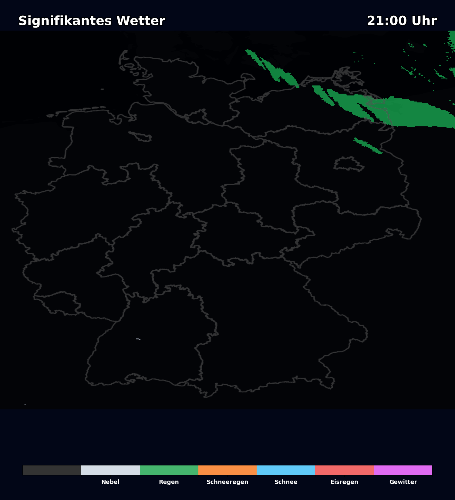
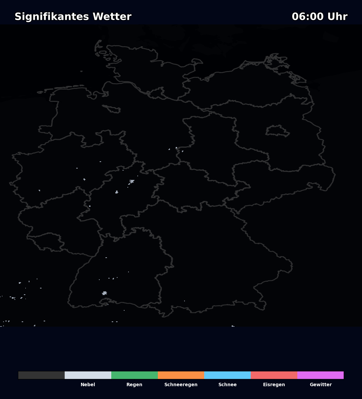
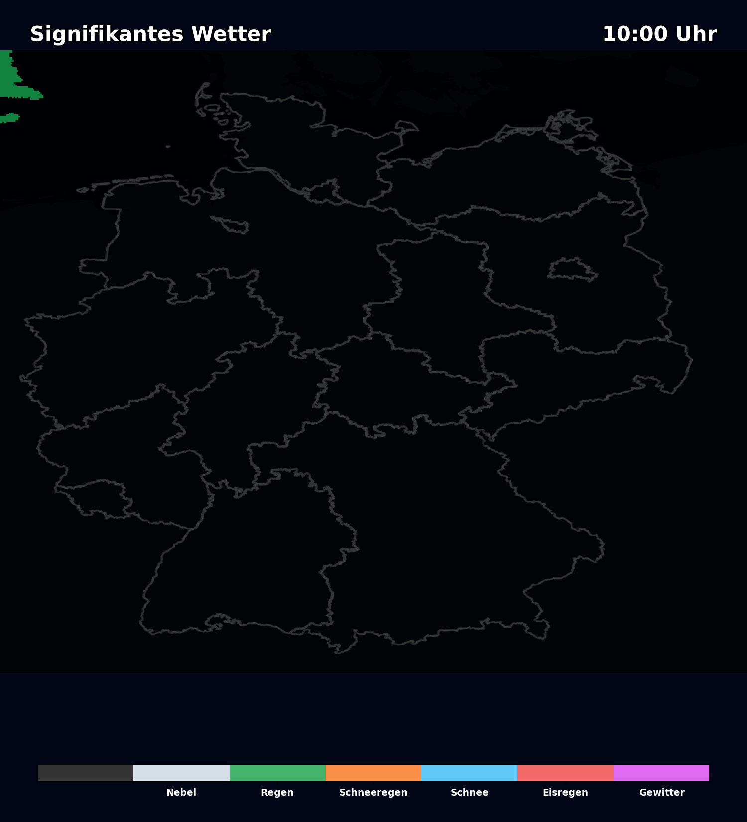
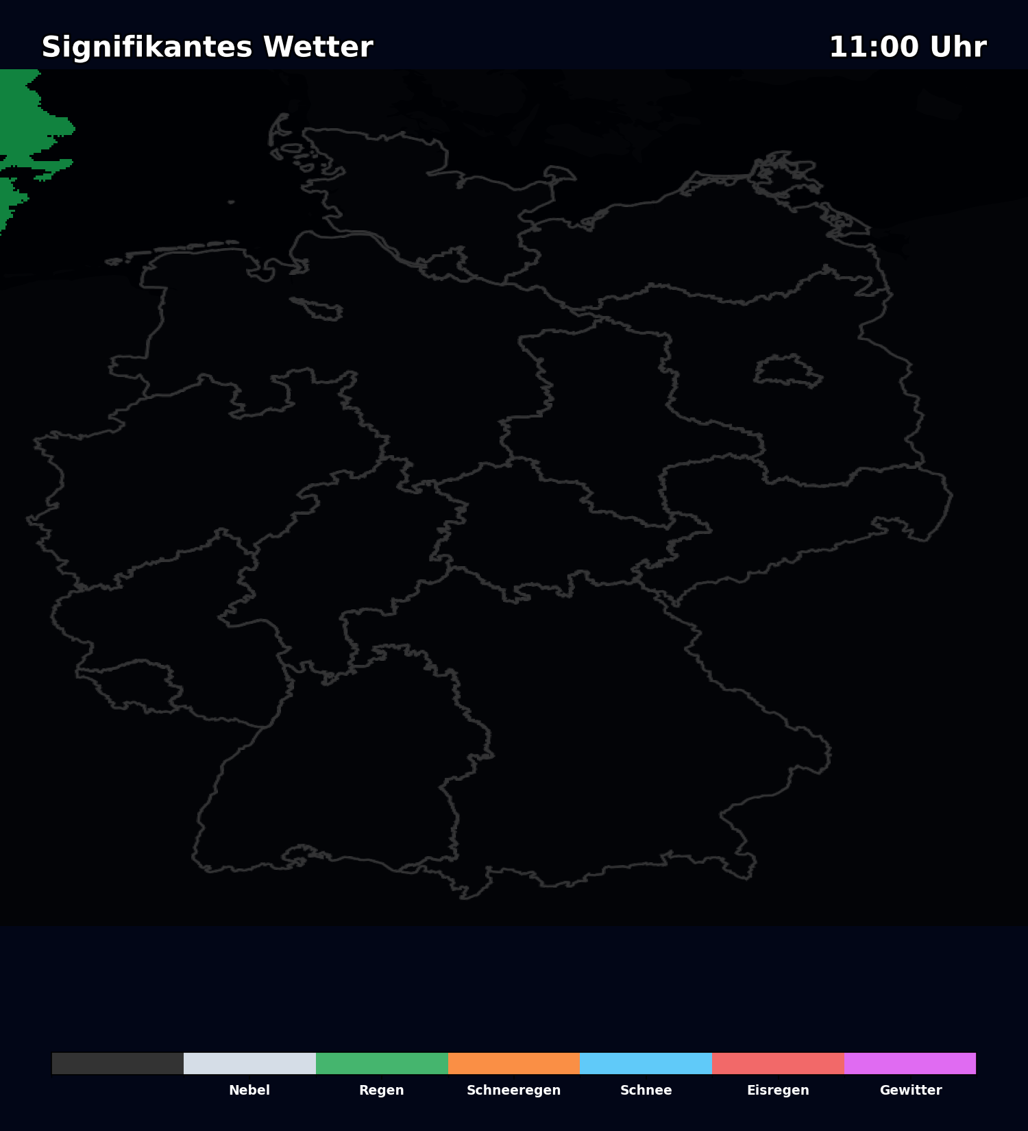
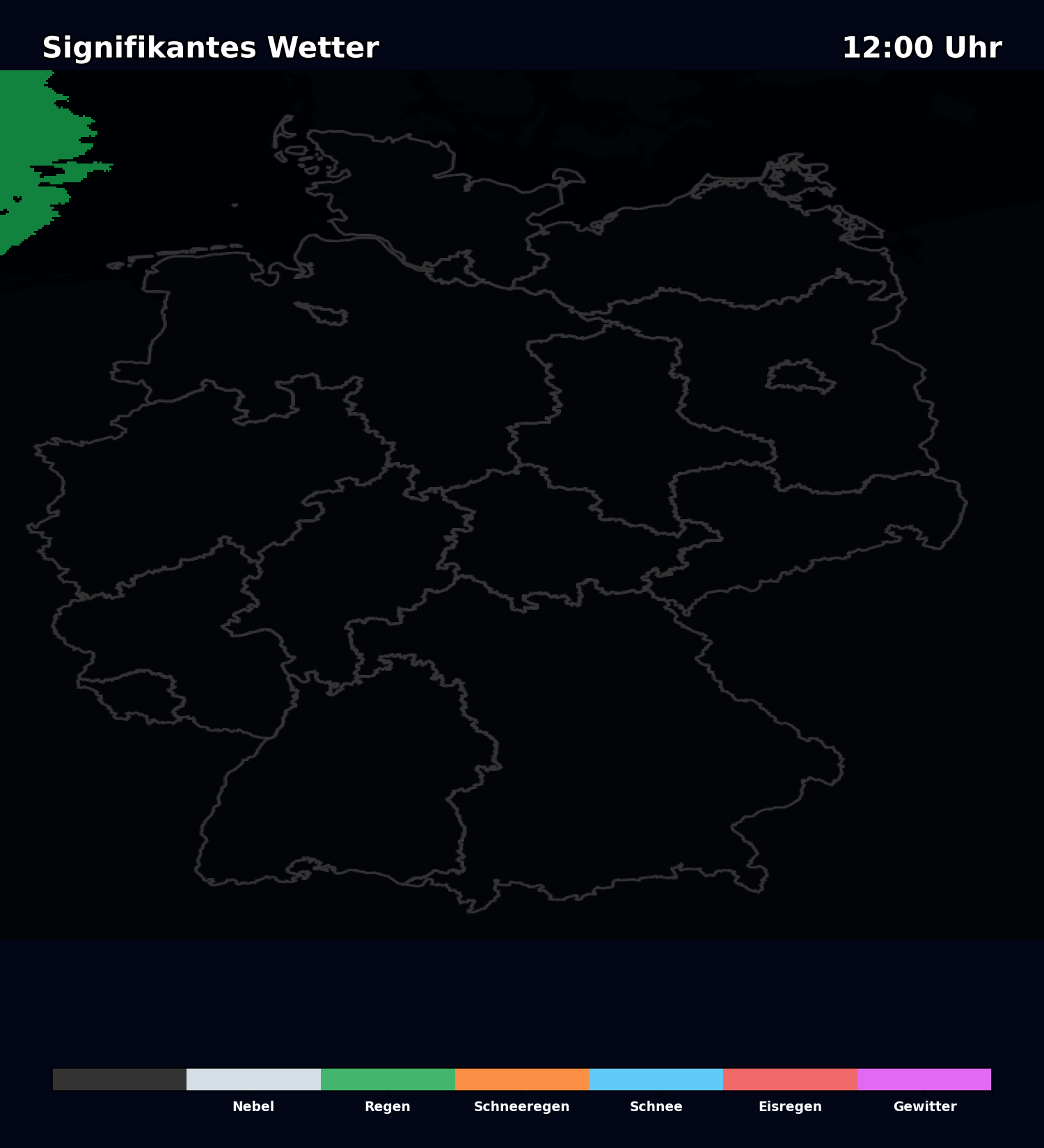
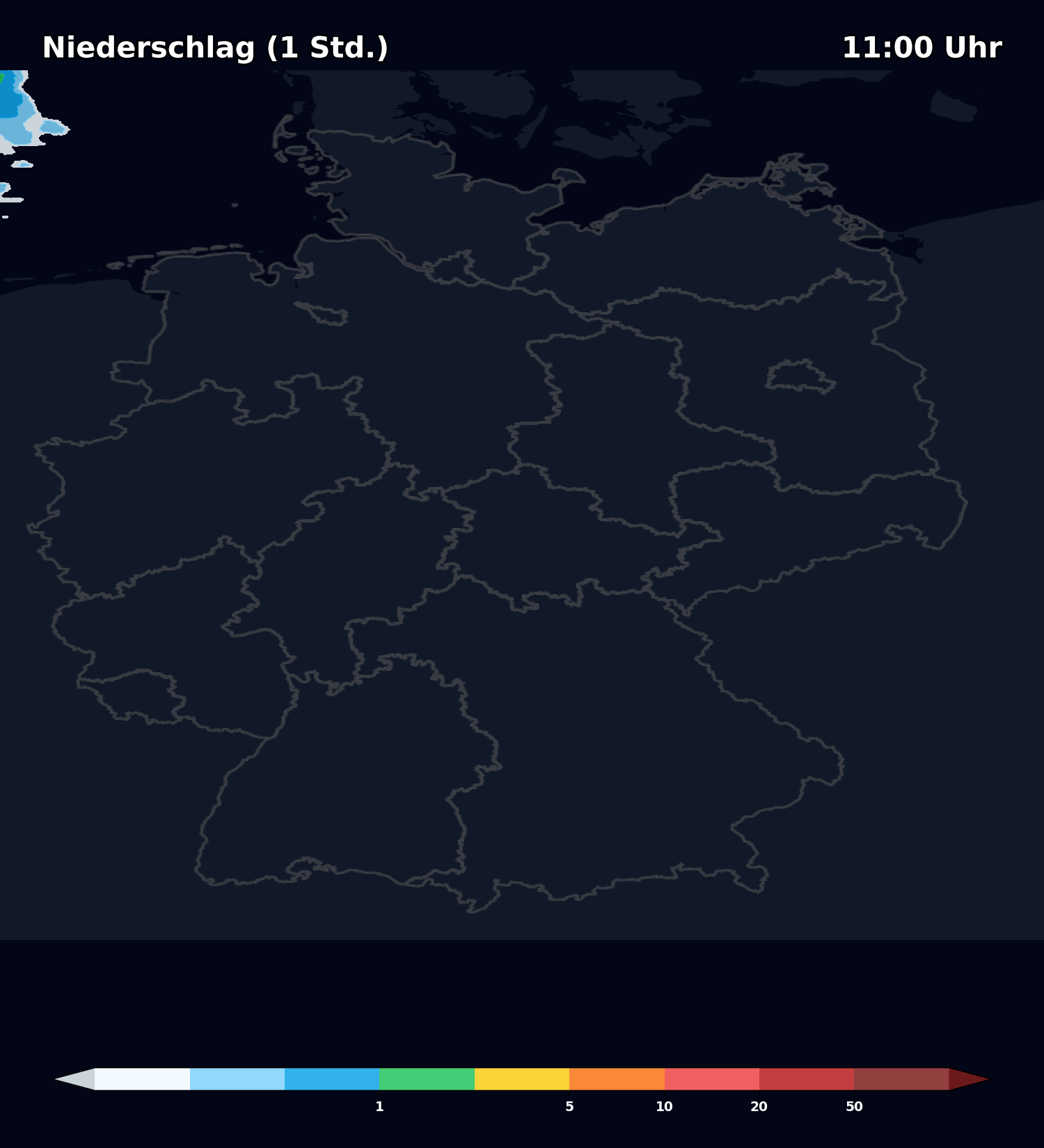
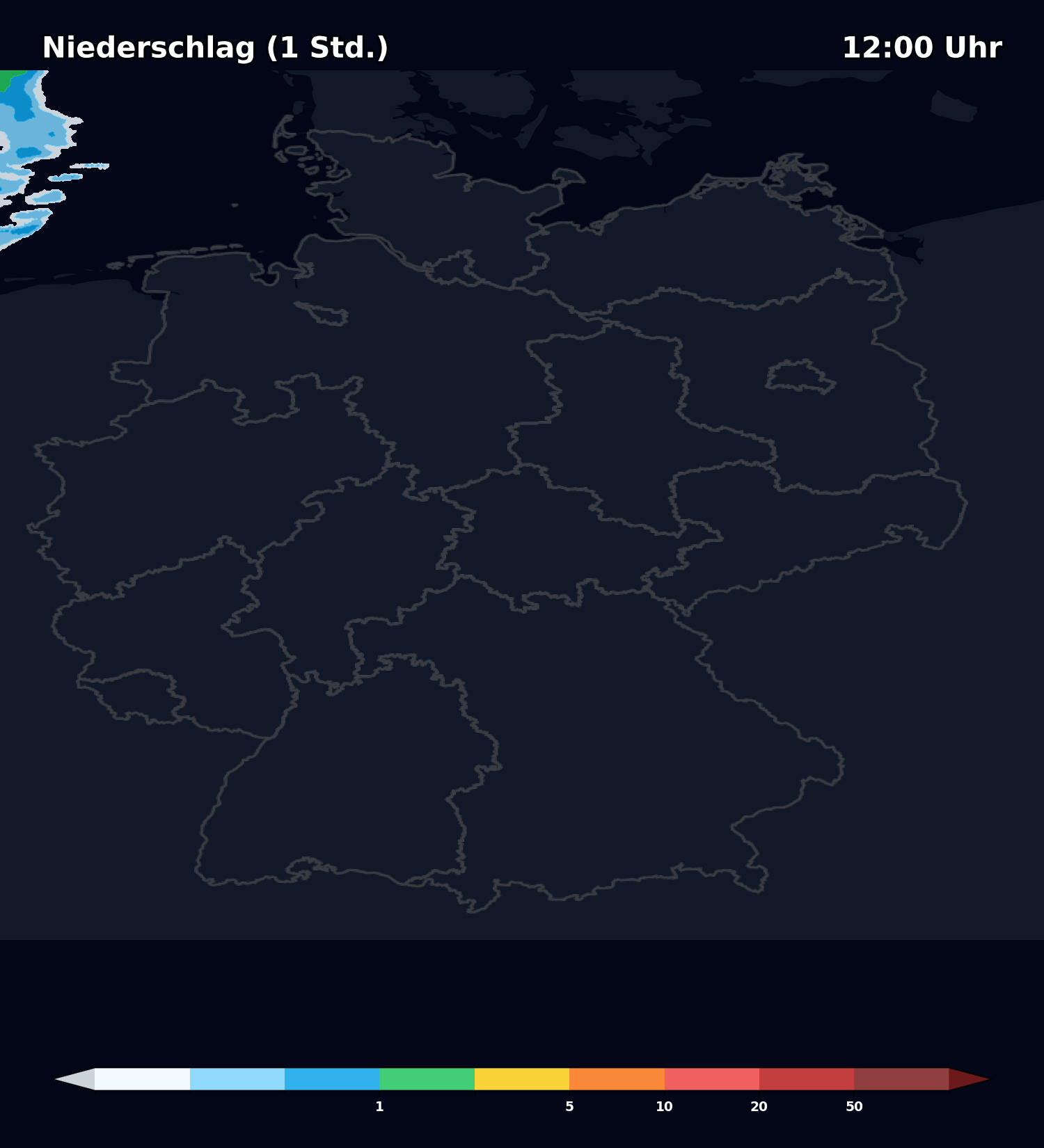
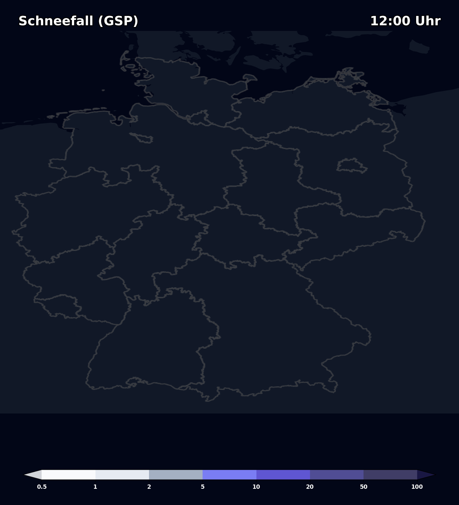
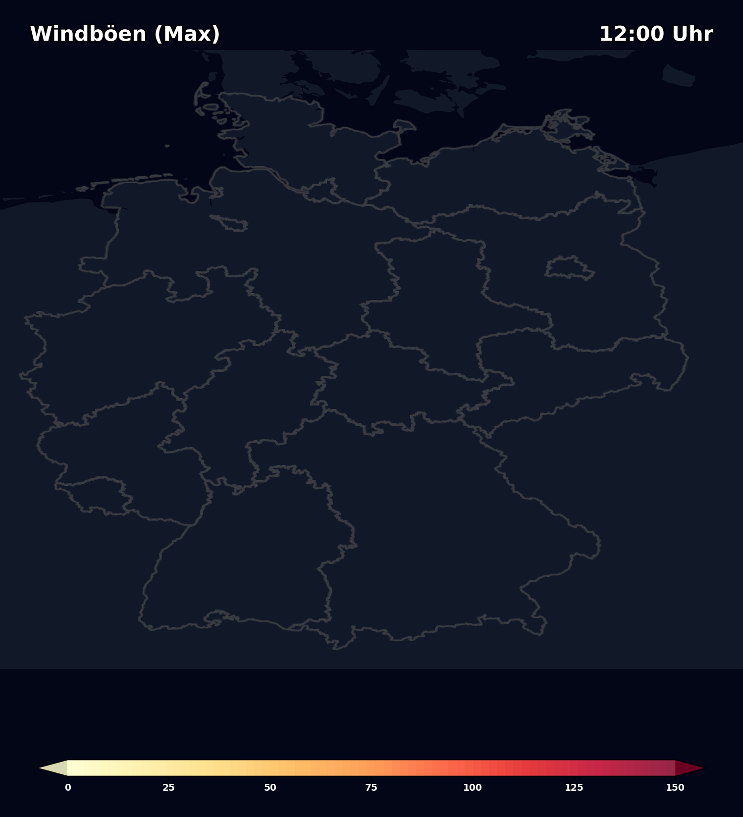
Signifikantes Wetter: Regen, Schnee, Gewitter und Nebel.
Zeitschiene (ICON-D2 48h)

+1h 18:44
+2h 18:44
+3h 18:44
+4h 18:44
+5h 18:44
+6h 18:44
+7h 18:44
+8h 18:44
+9h 18:44
+10h 18:44
+11h 18:44
+12h 18:44

+13h 18:44
+14h 18:44

+15h 18:44

+16h 18:44

+17h 18:44

+18h 18:44

+19h 18:44

+20h 18:44

+21h 18:44

+22h 18:44

+23h 18:44

+24h 18:44

+25h 18:44

+26h 18:44

+27h 18:44

+28h 18:44

+29h 18:44

+30h 18:44

+31h 18:44

+32h 18:44

+33h 18:44
+34h 18:44

+35h 18:44

+36h 18:44

+37h 18:44
+38h 18:44

+39h 18:44
+40h 18:44
+41h 18:44
+42h 18:44

+43h 18:44

+44h 18:44

+45h 18:44
+46h 18:44
+47h 18:44
+48h 18:44


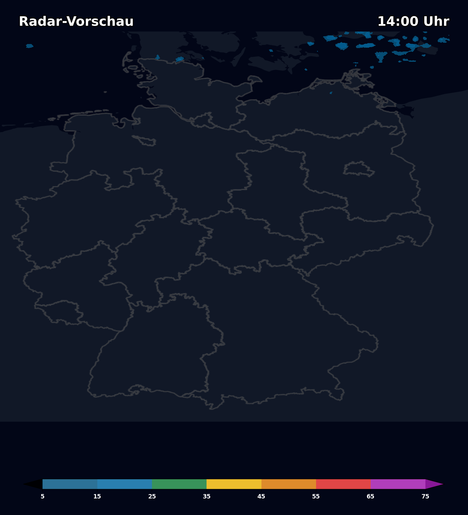
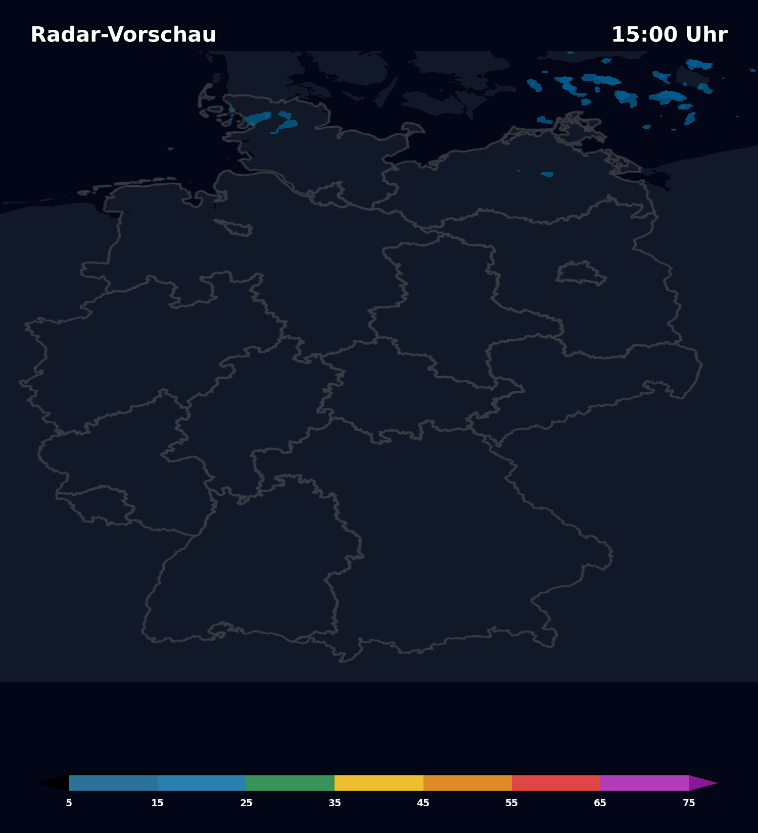
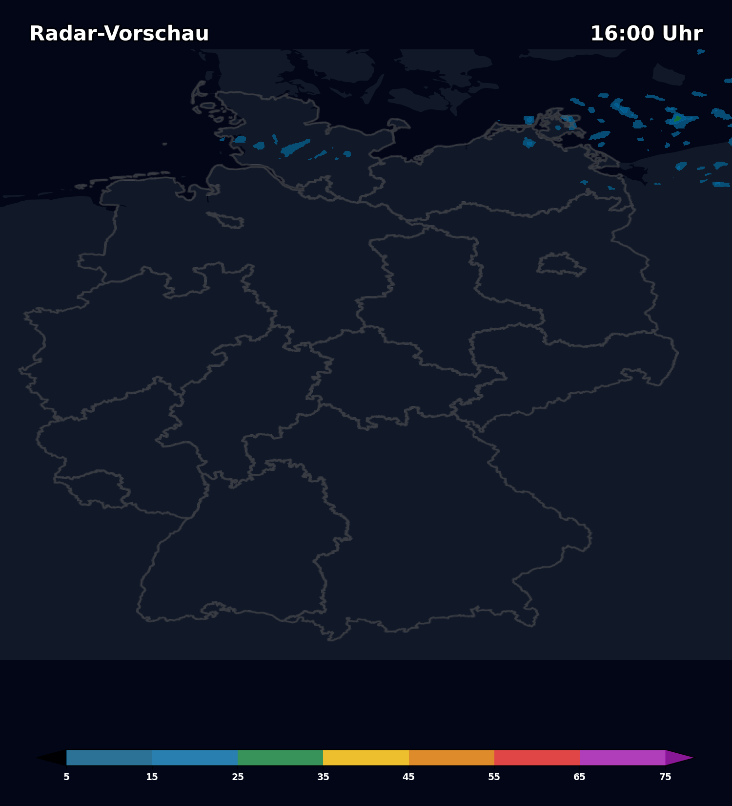

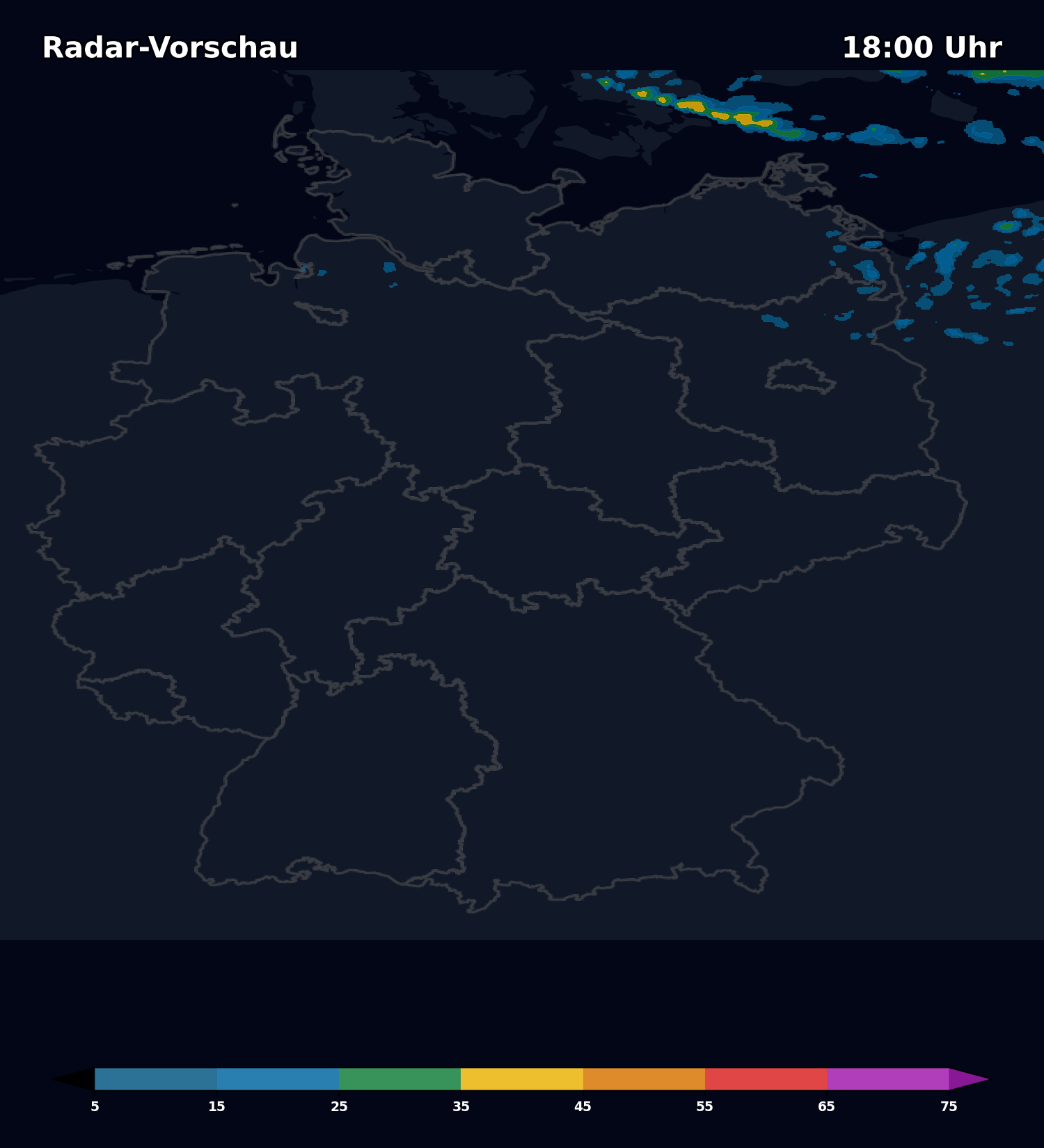


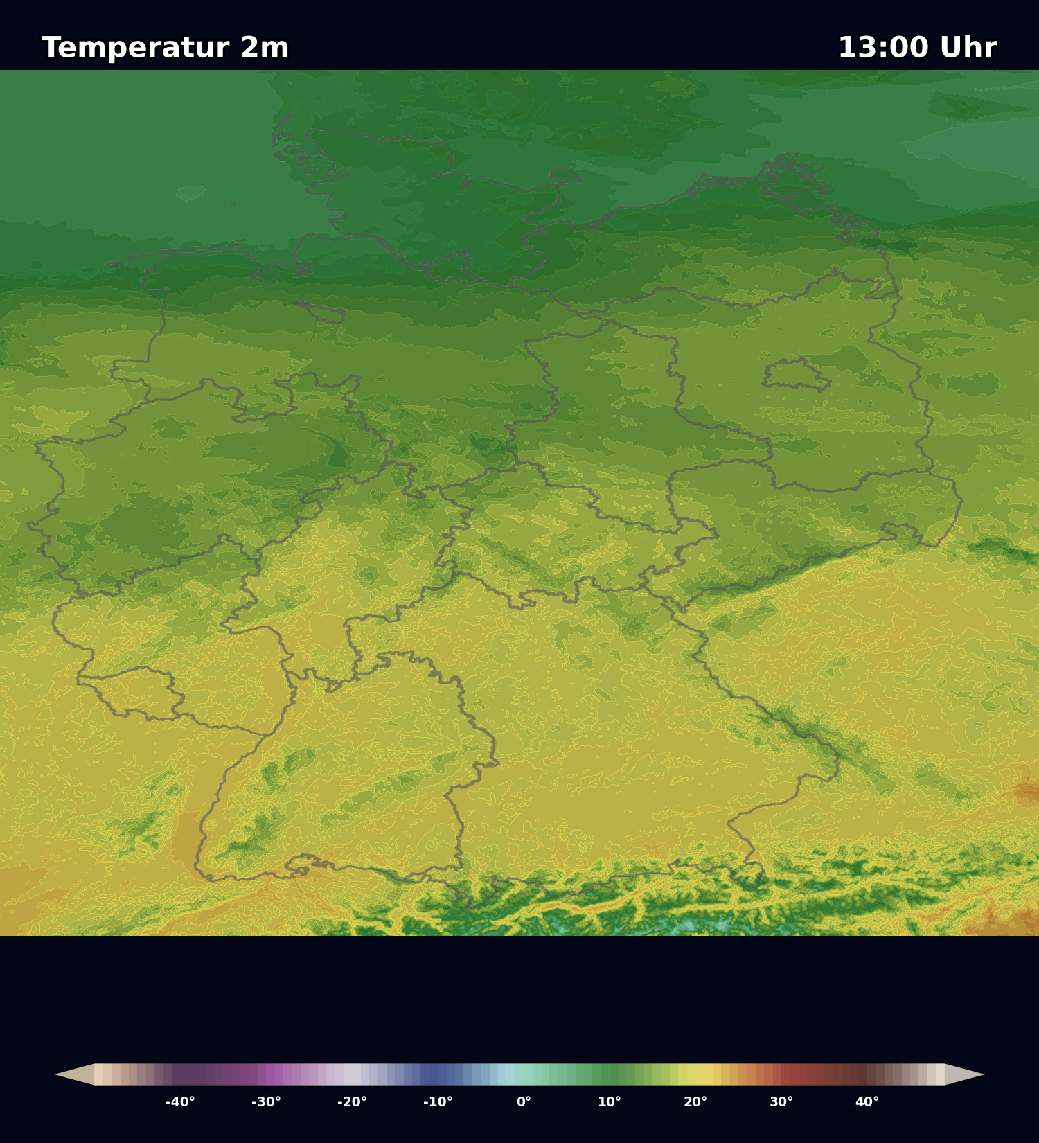
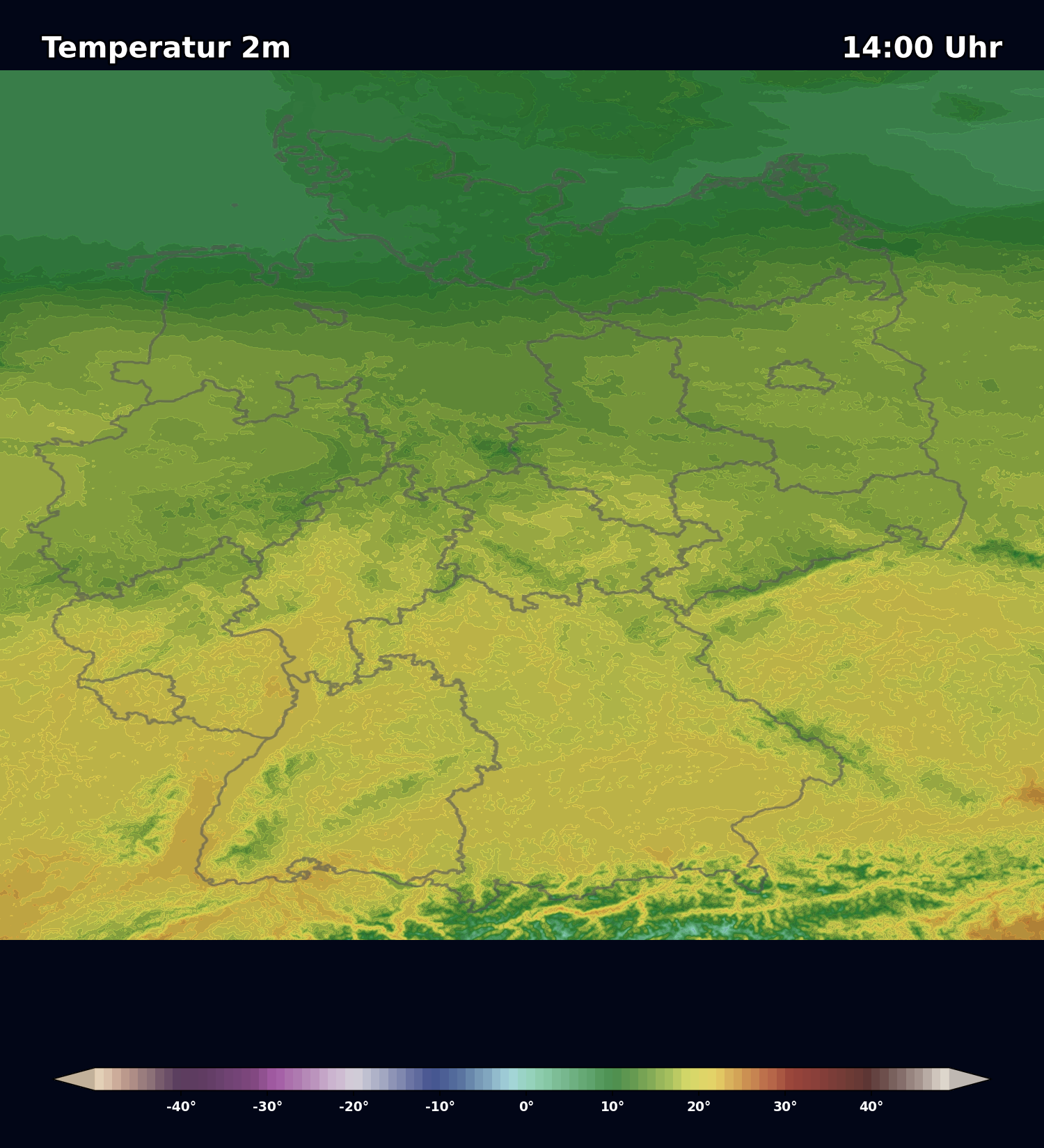
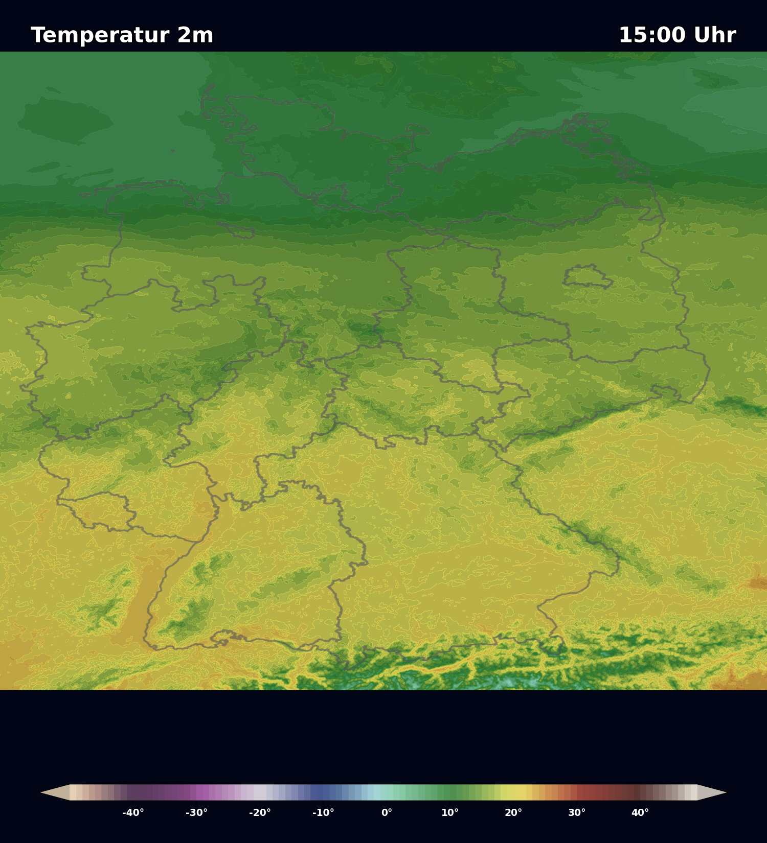
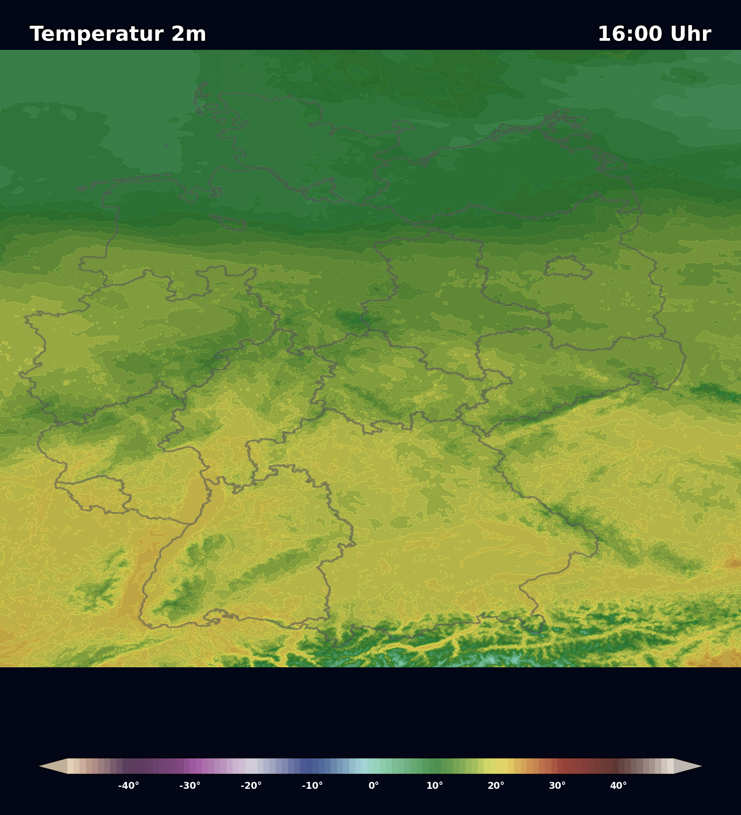
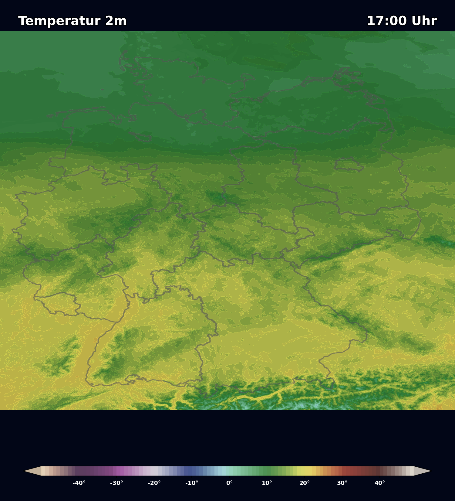
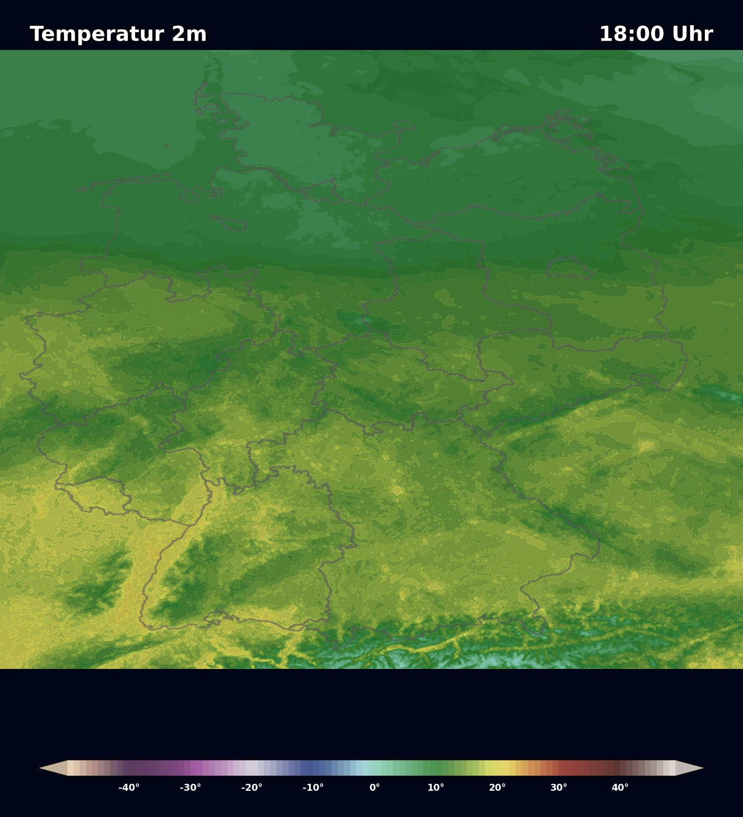
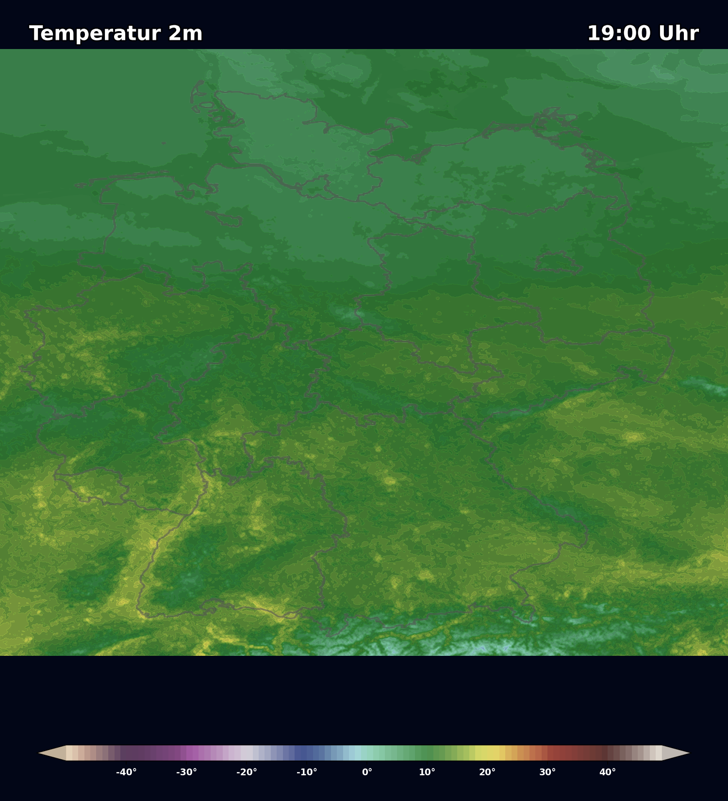
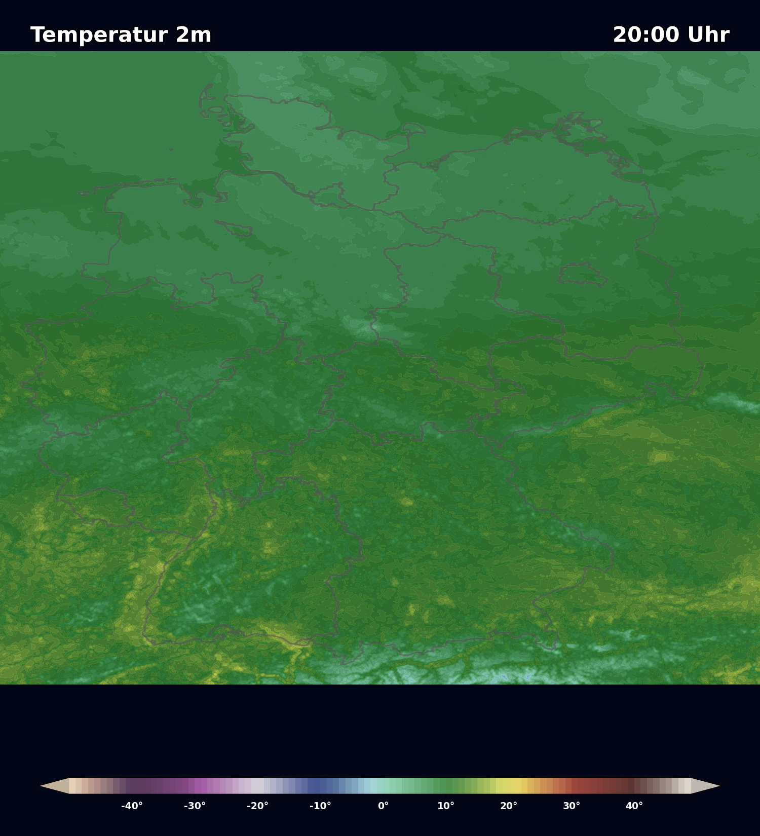
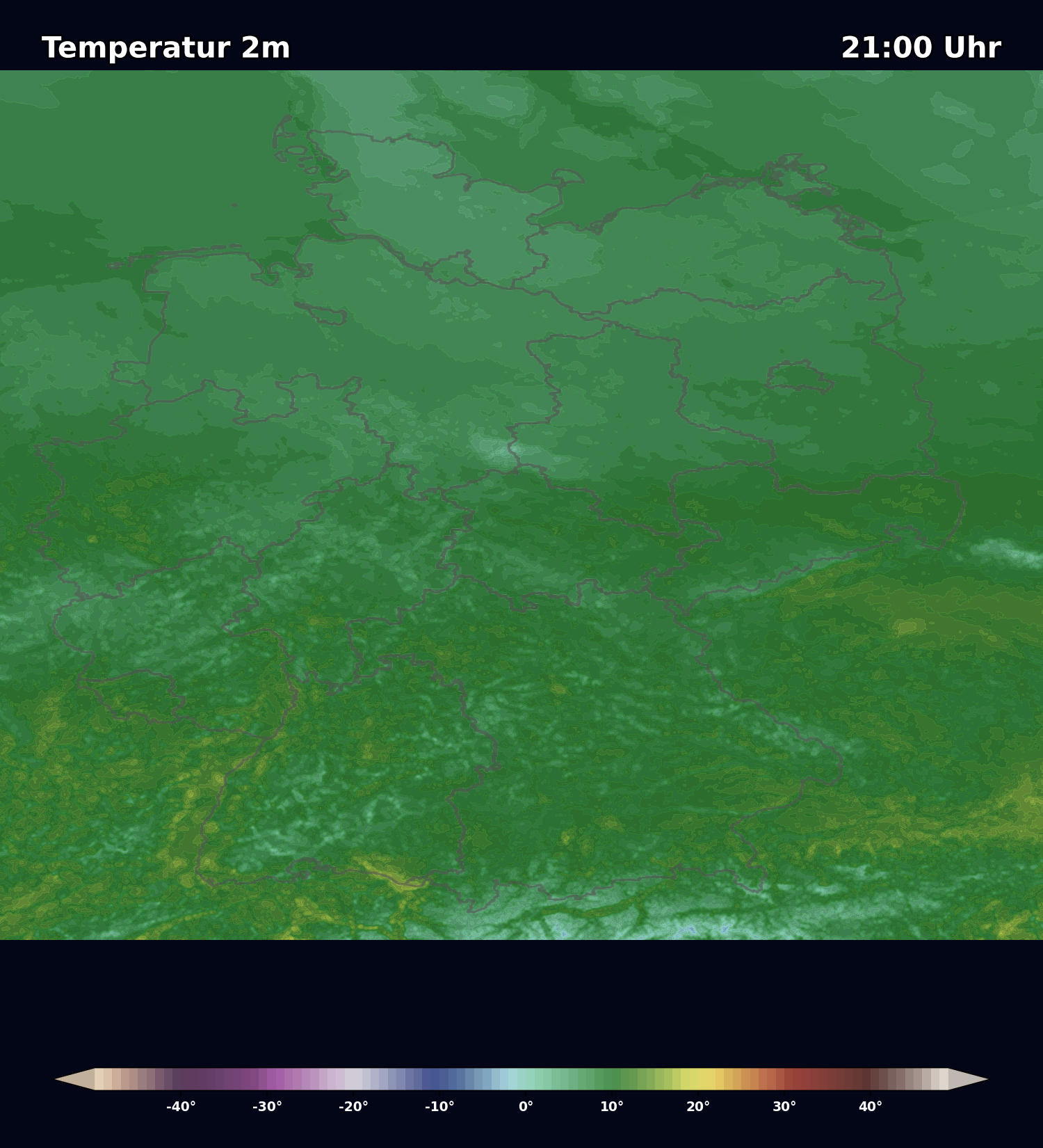
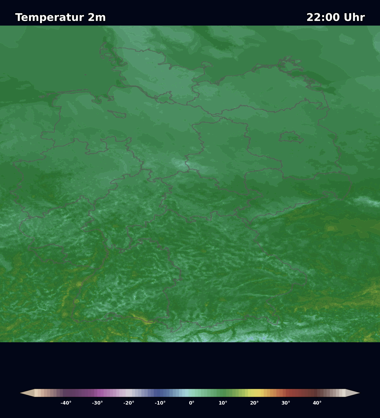
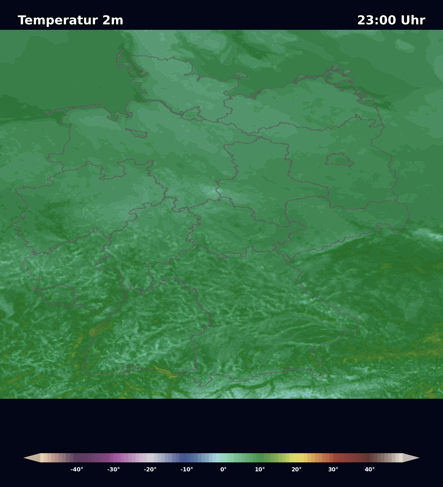
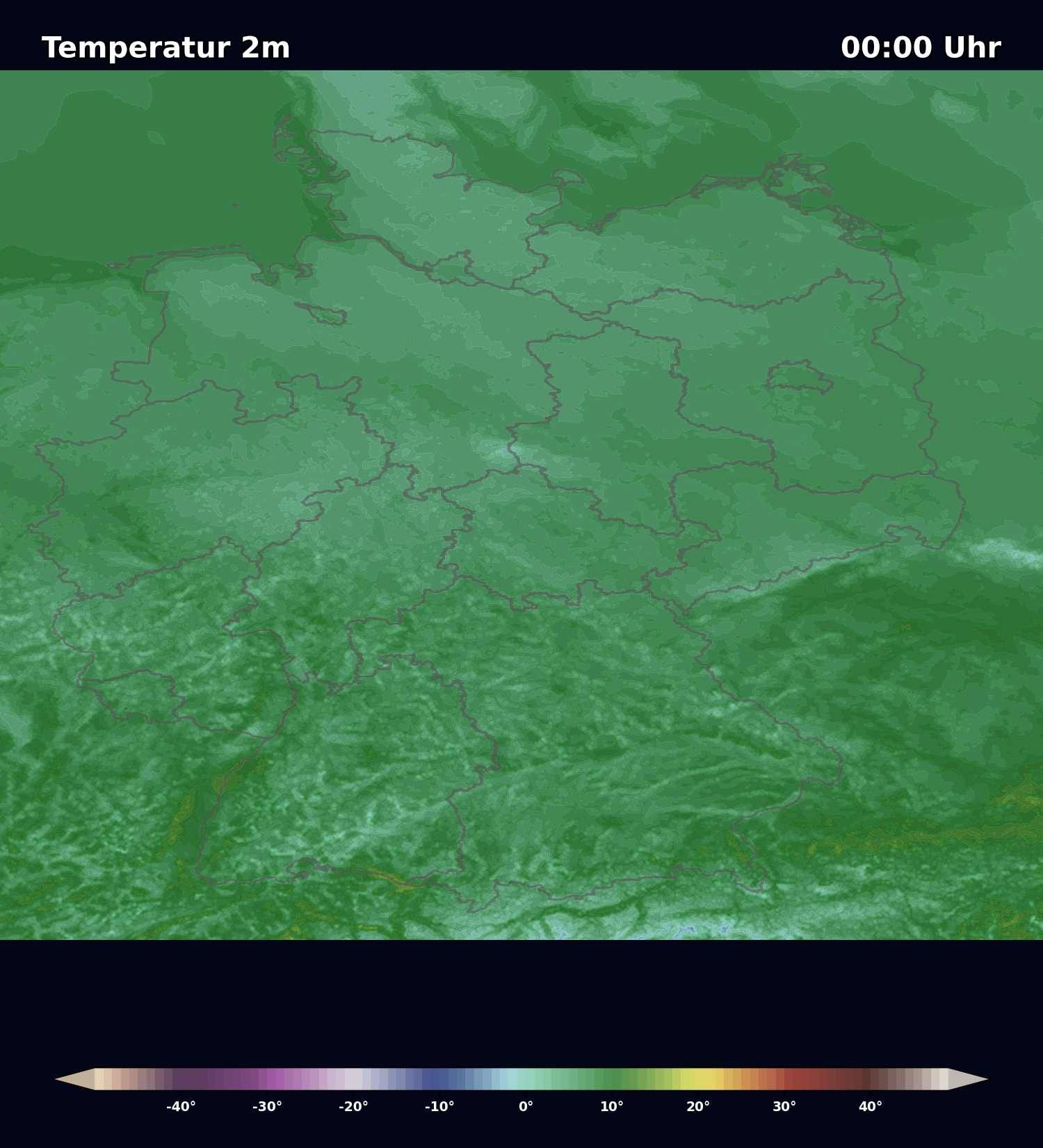

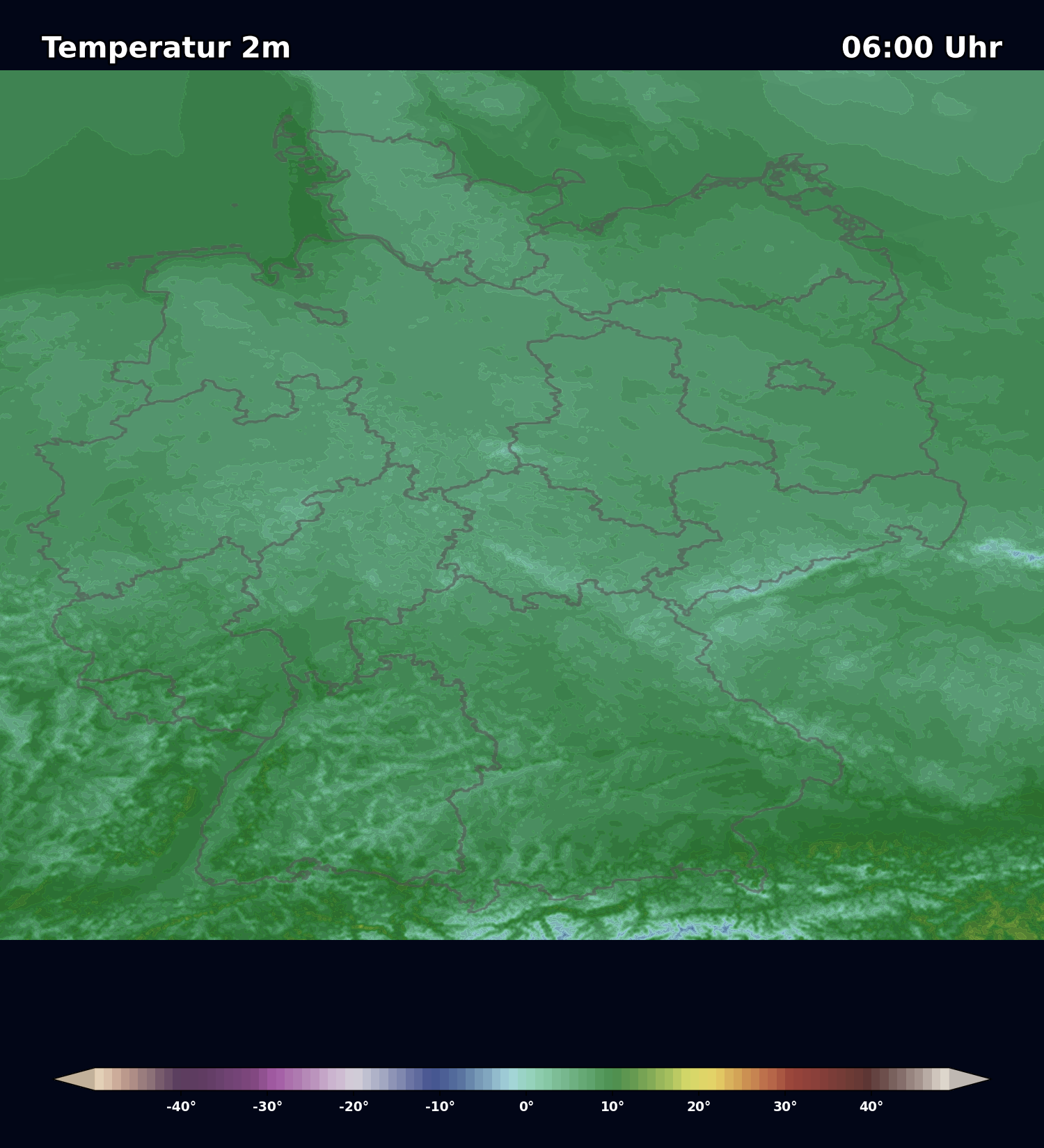
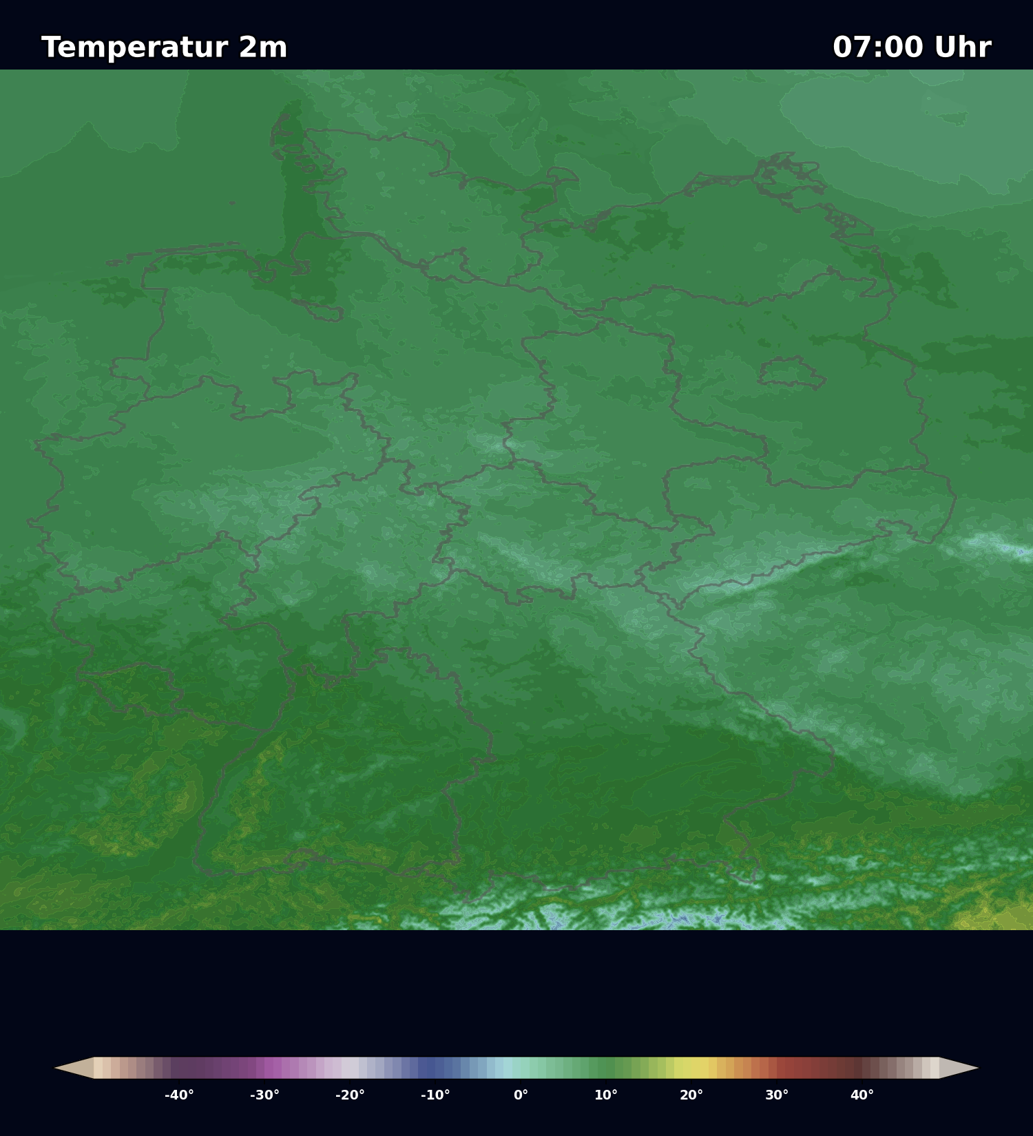
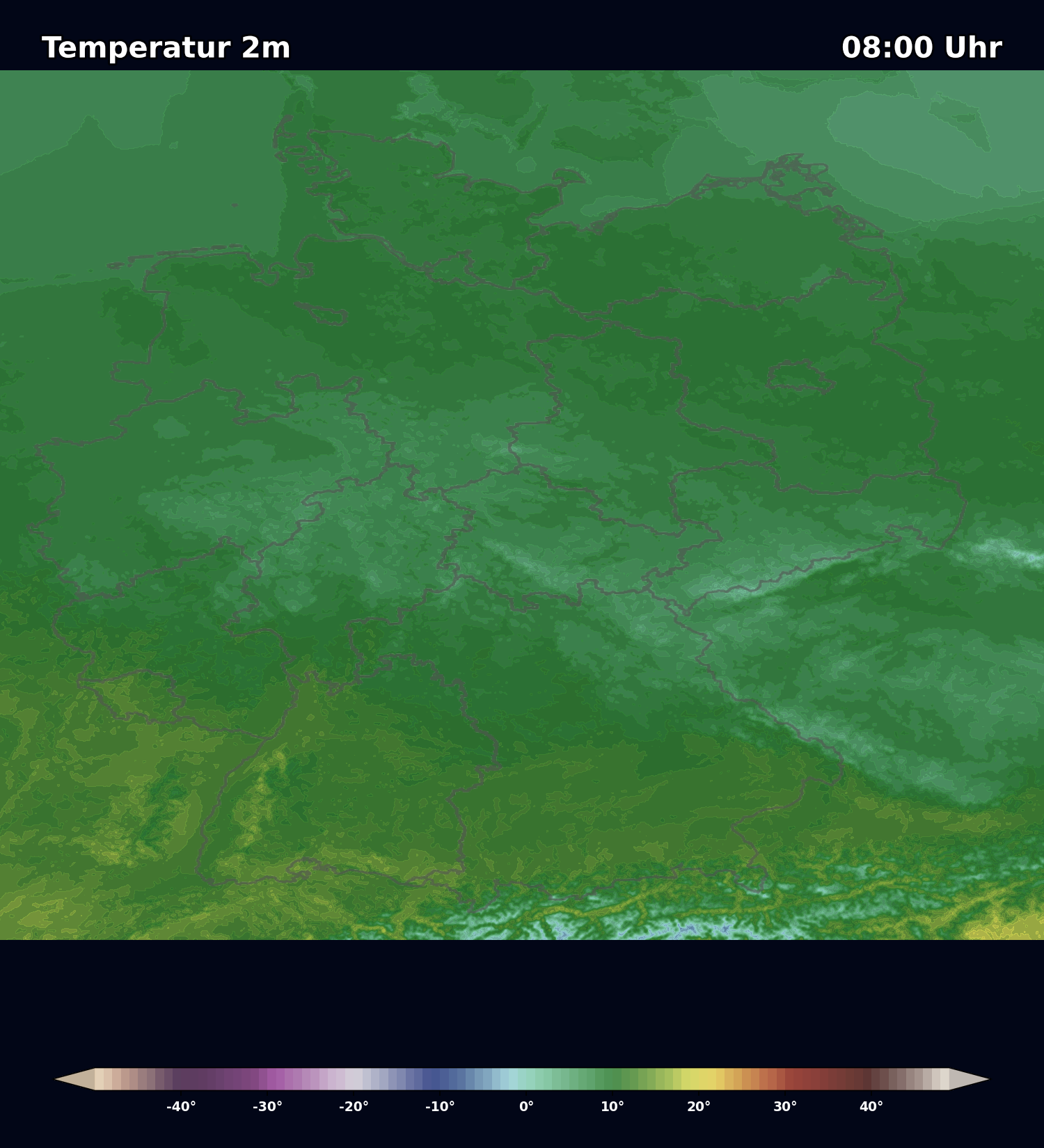
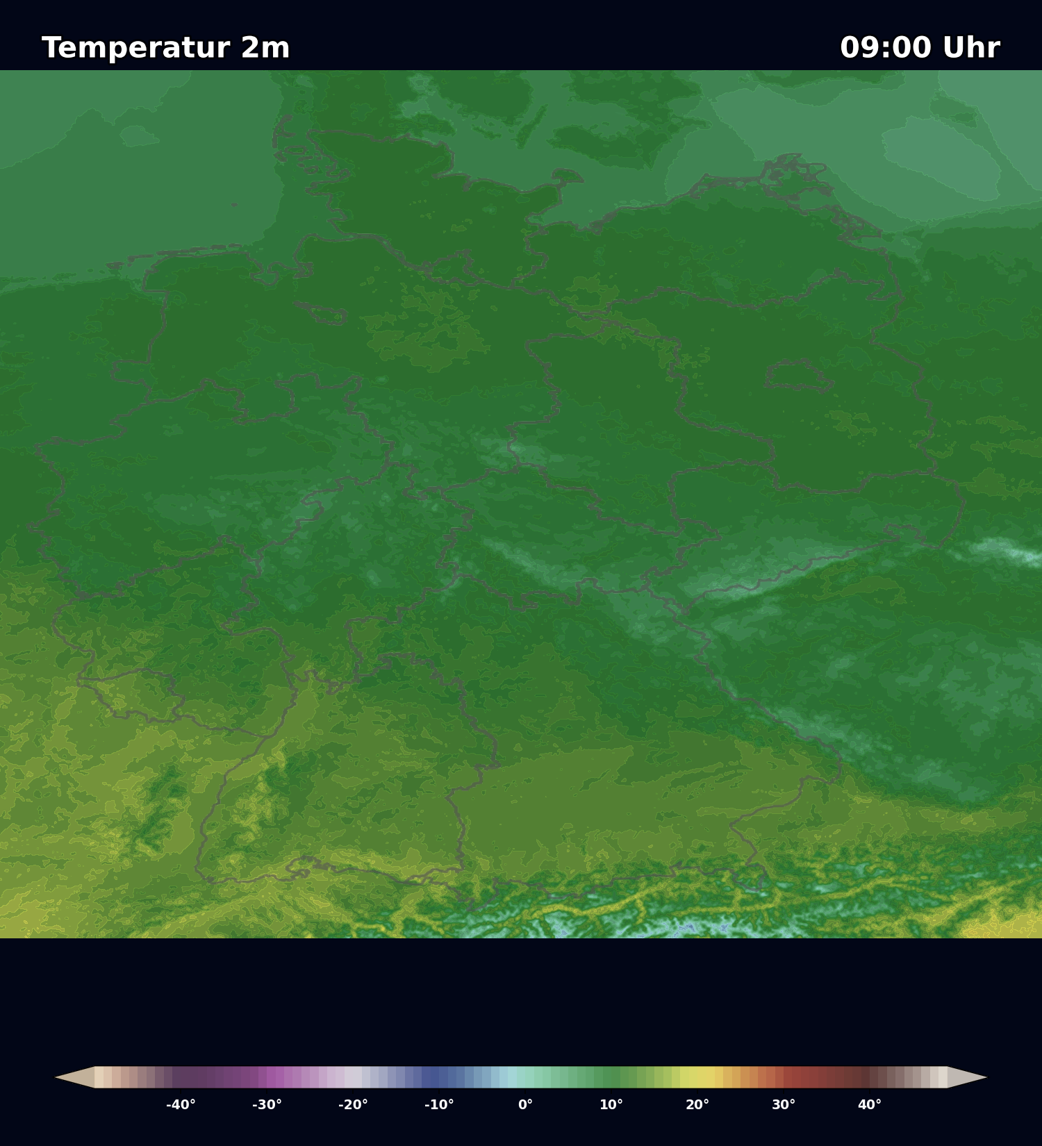
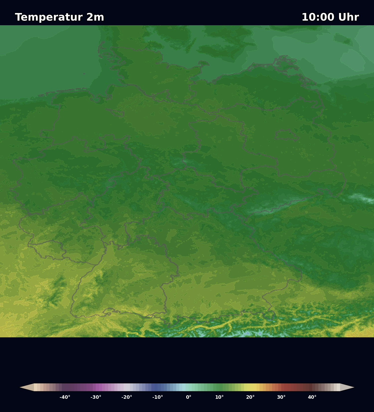
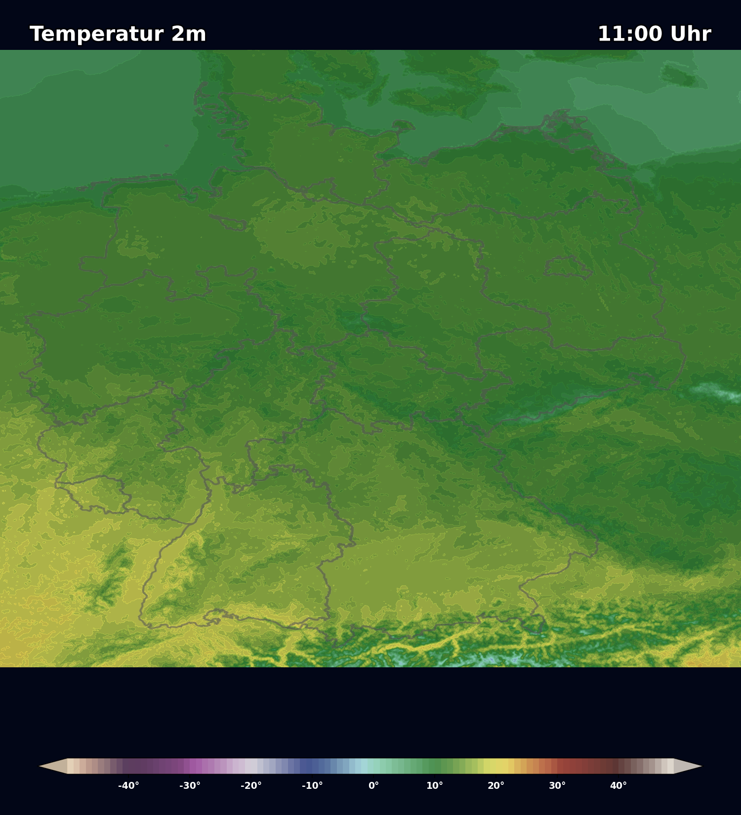
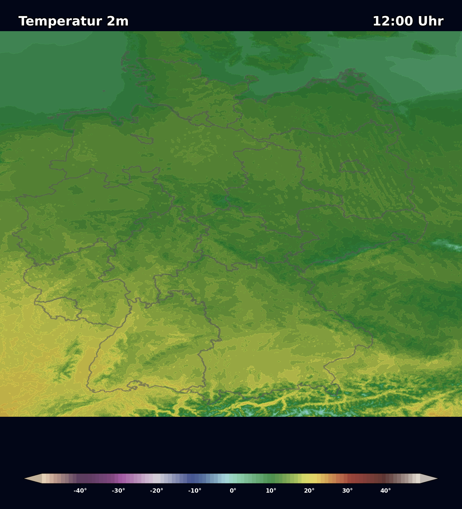
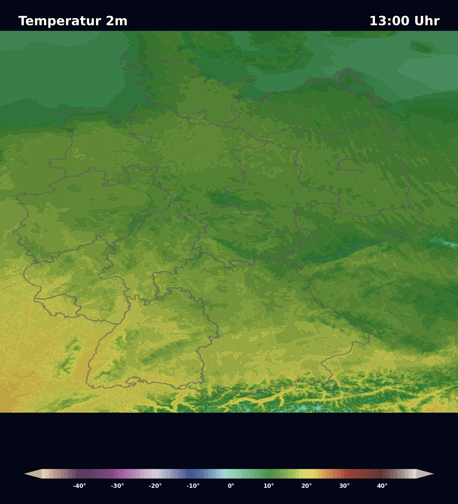
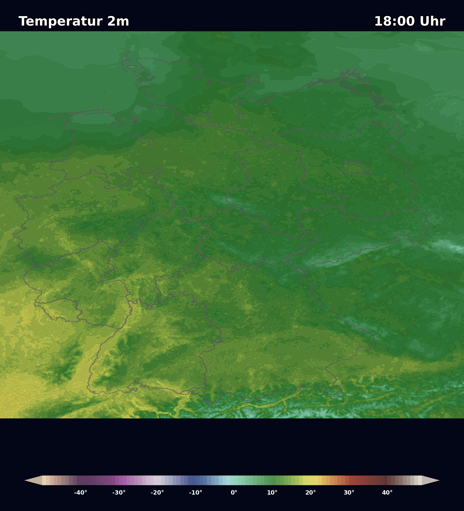
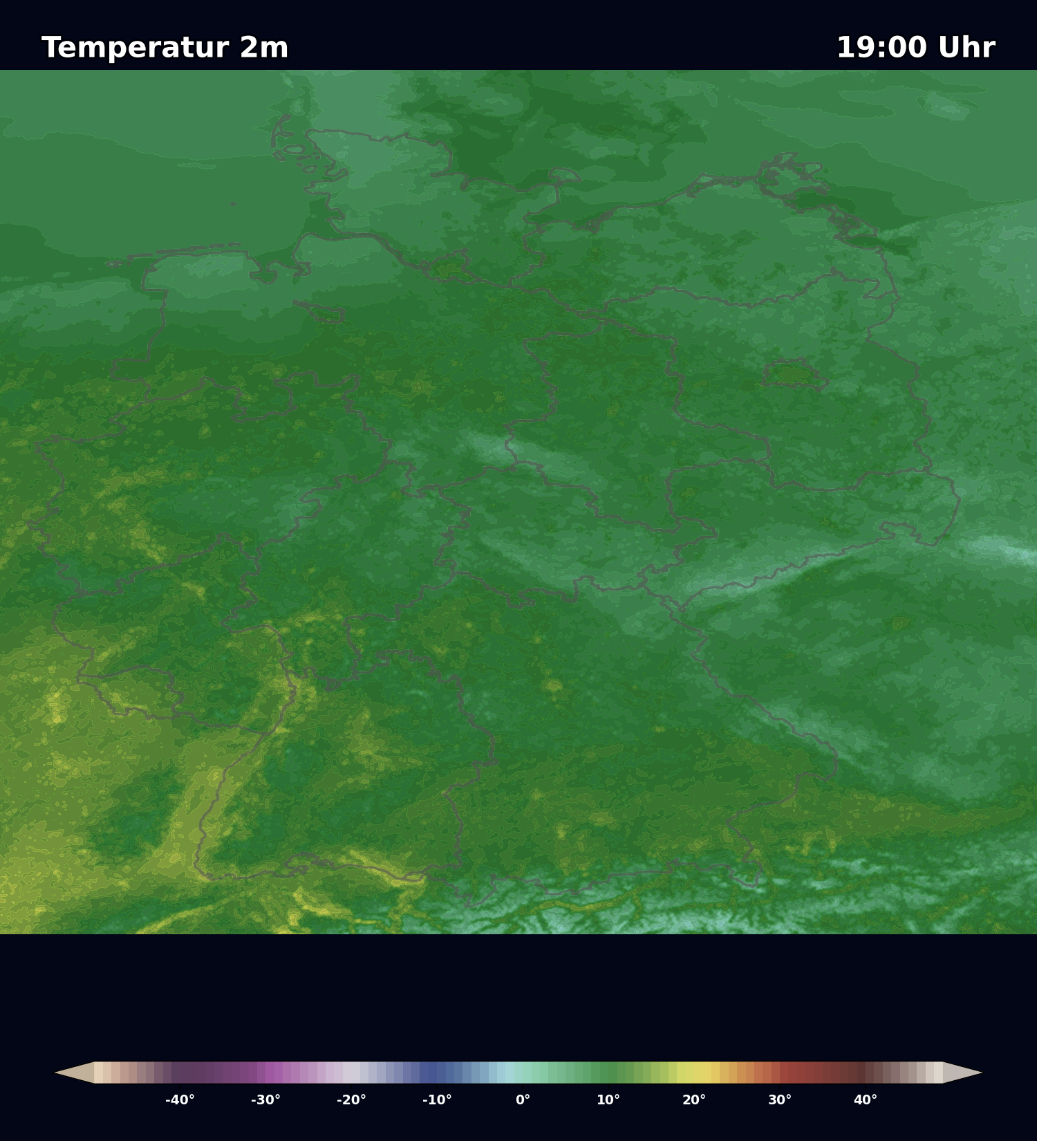
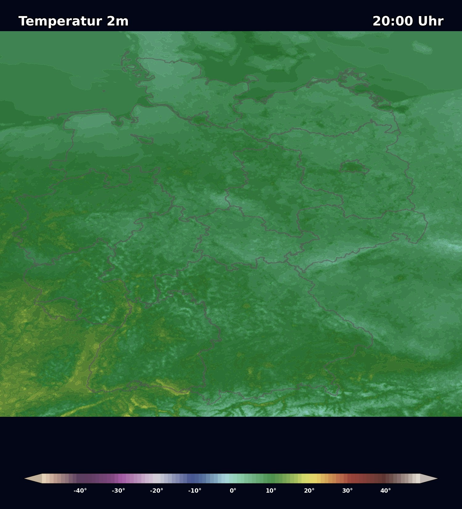
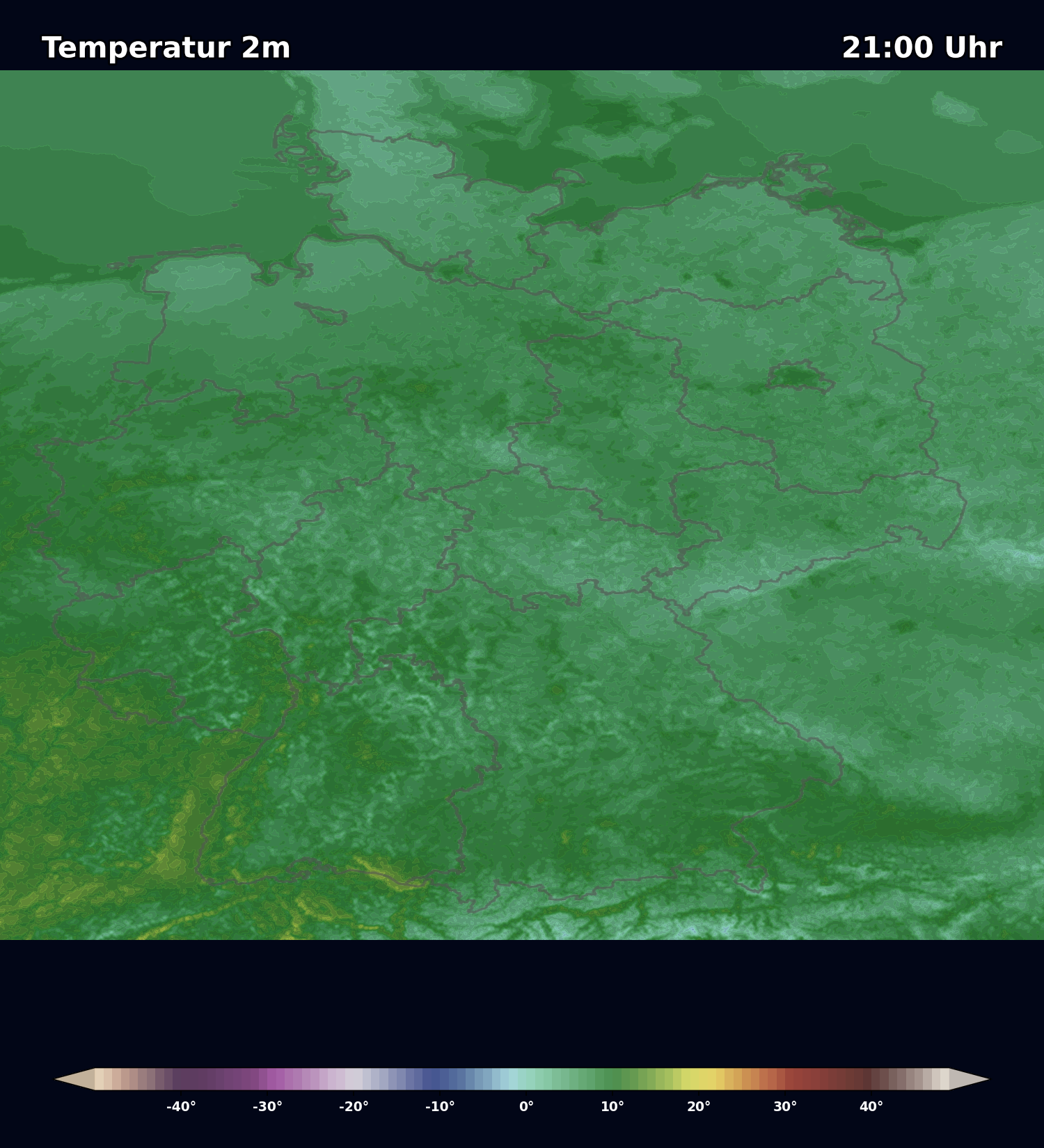
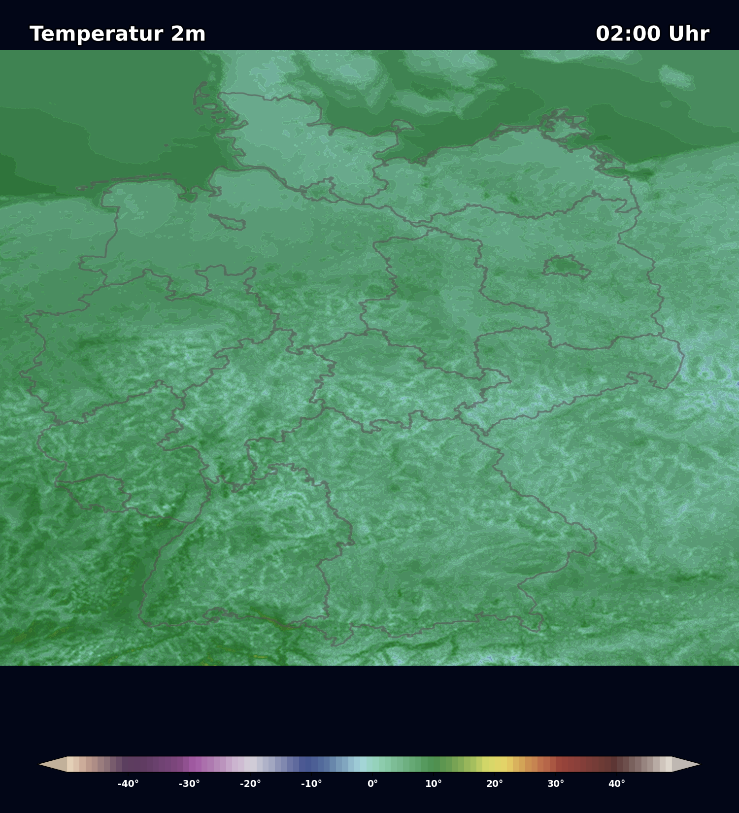

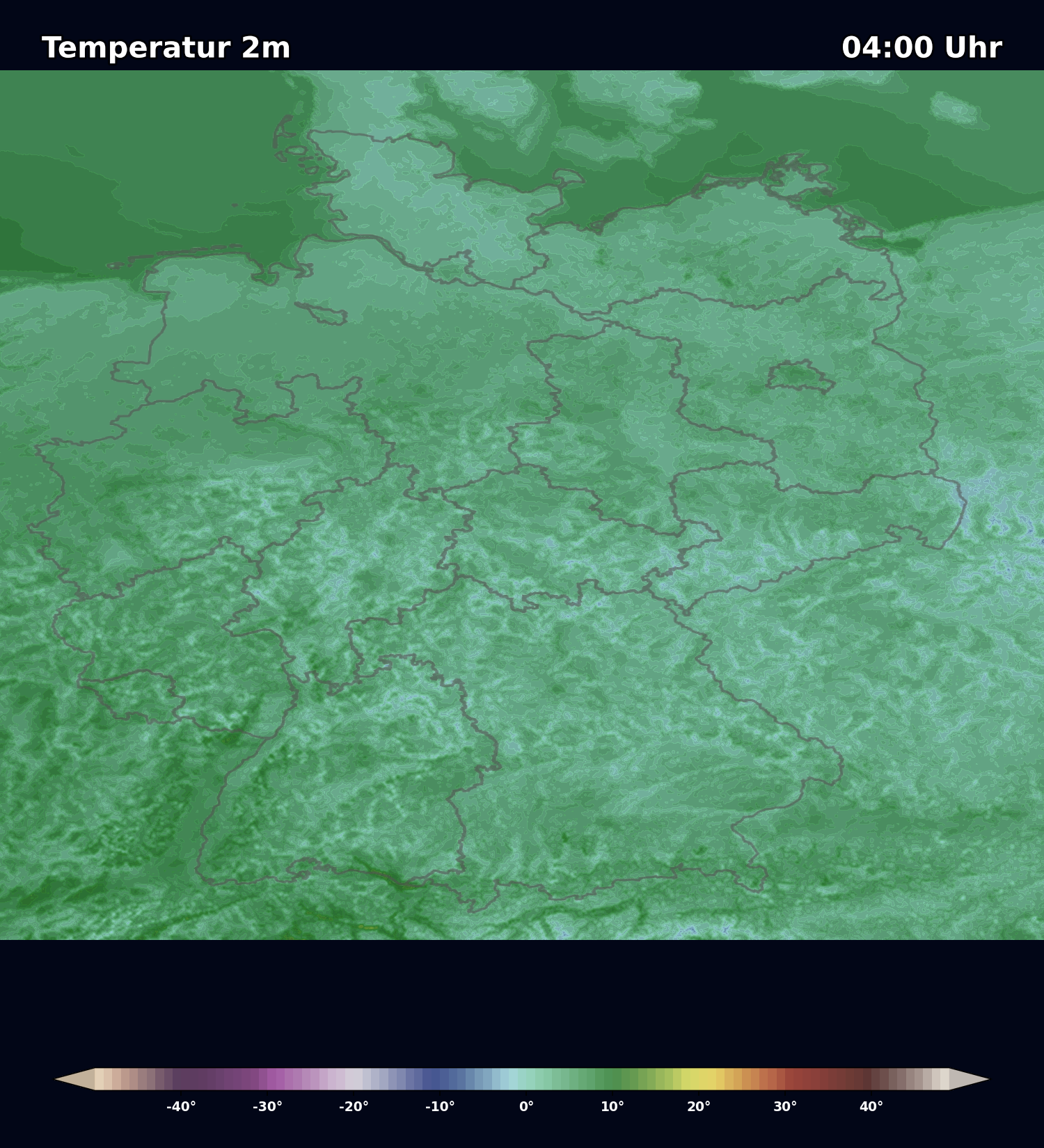
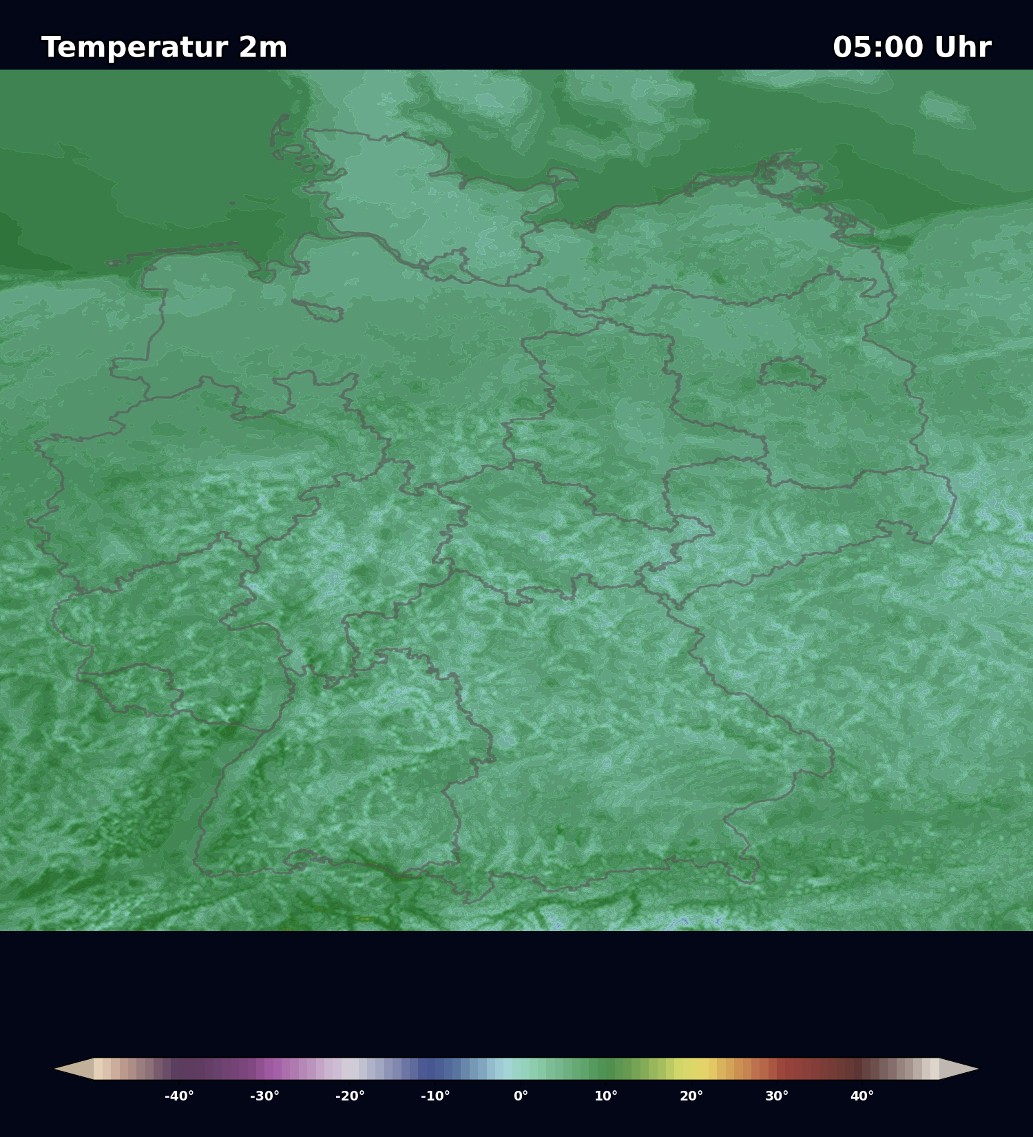
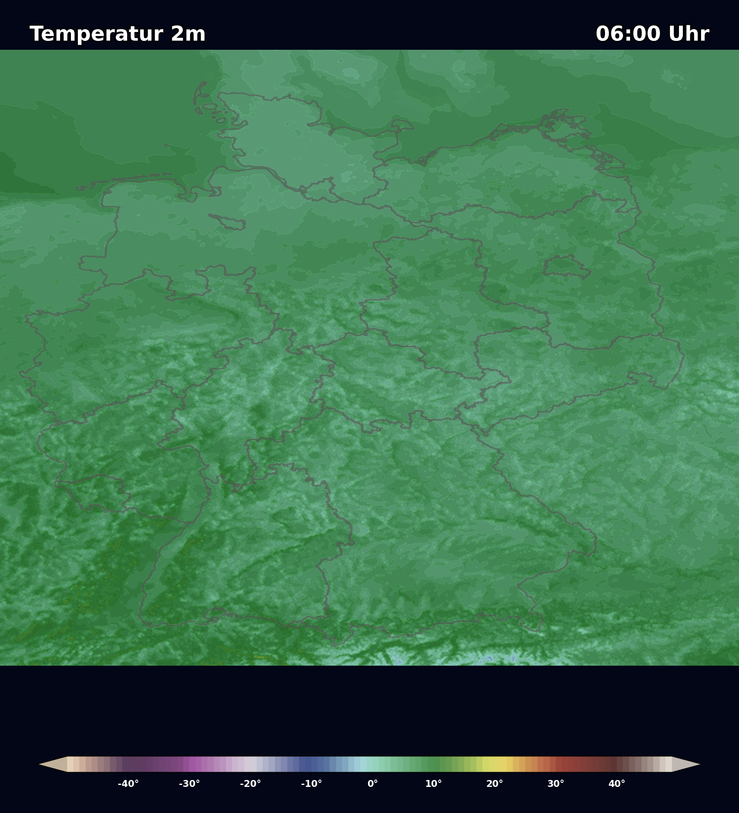
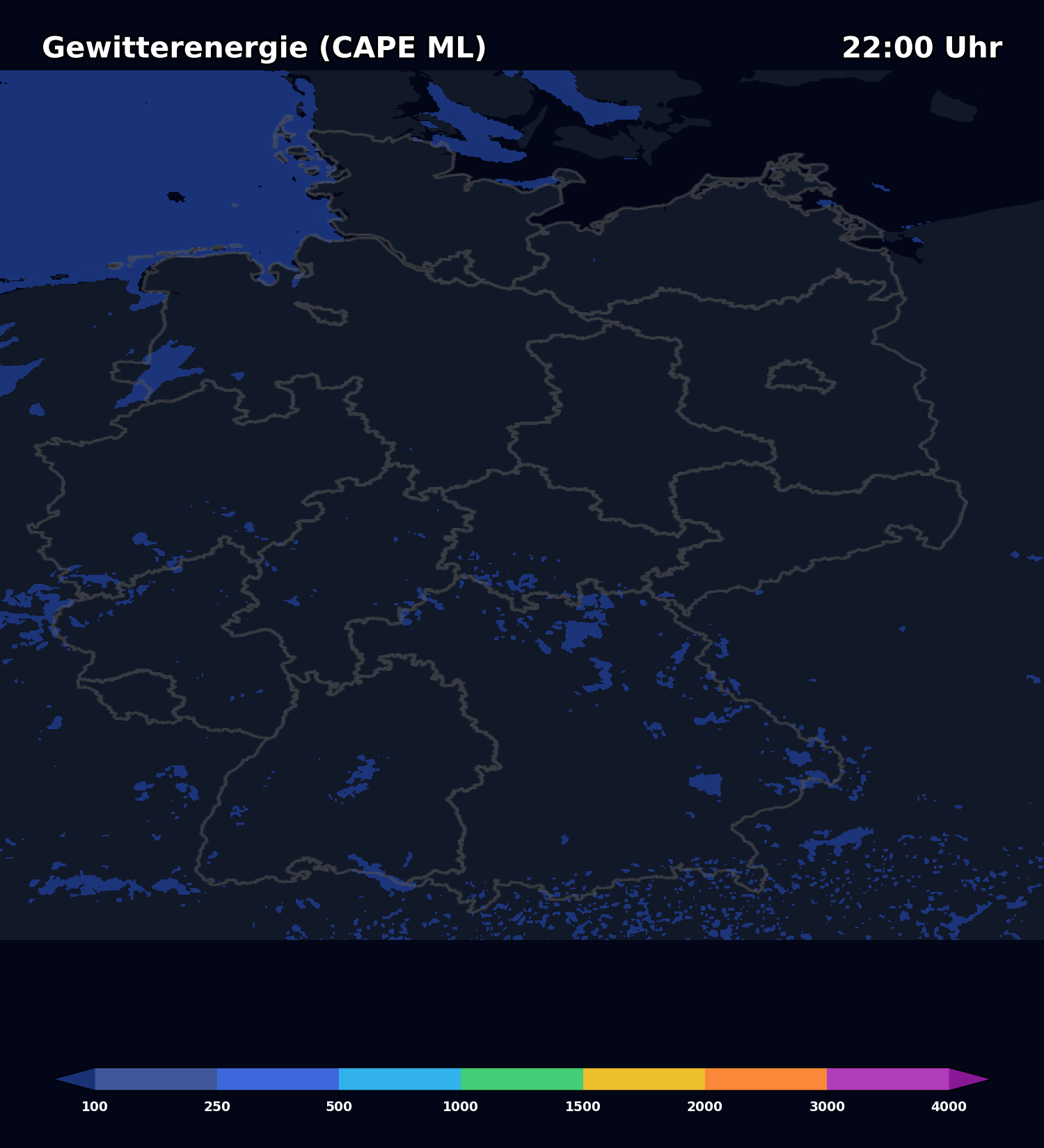
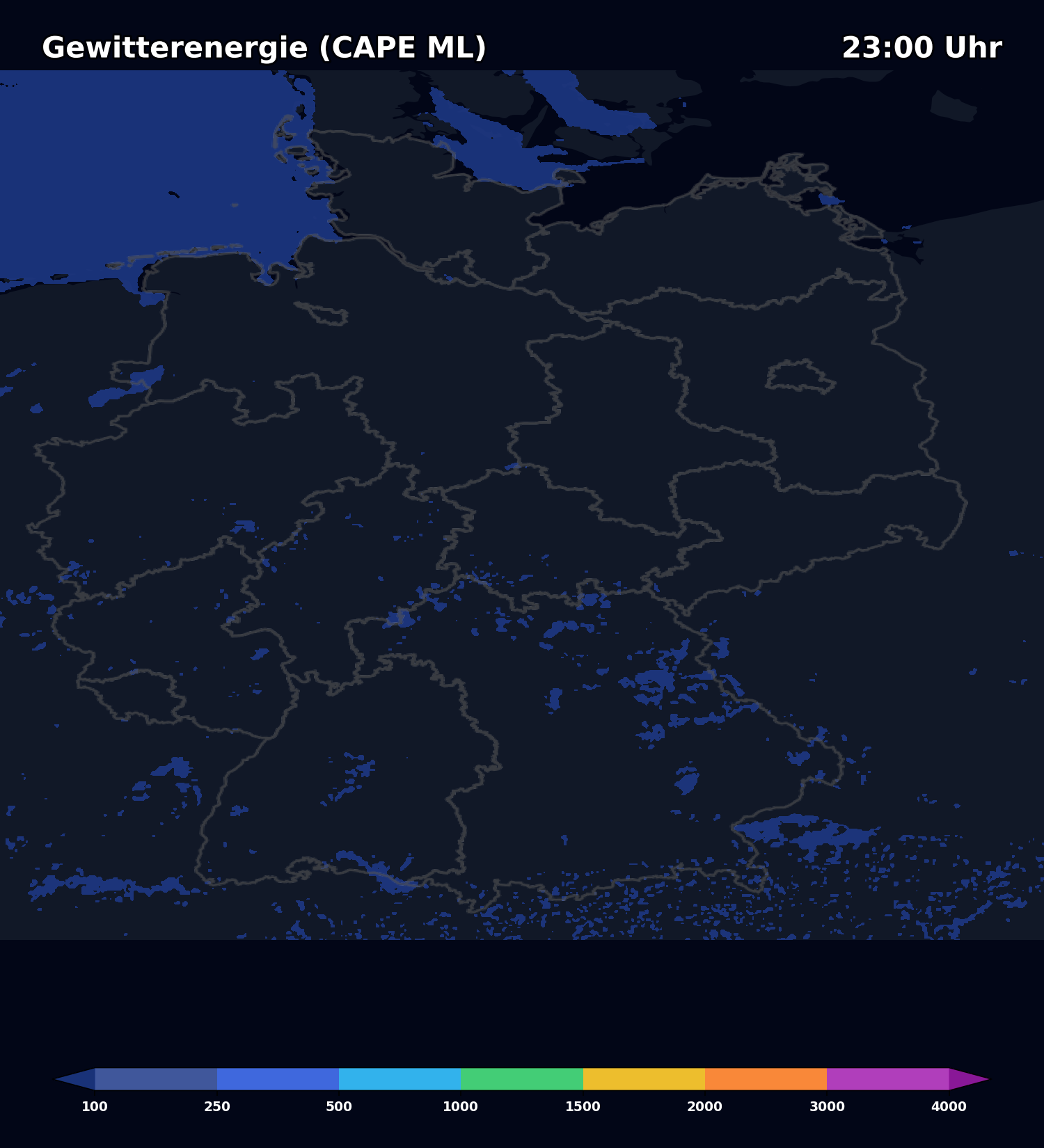
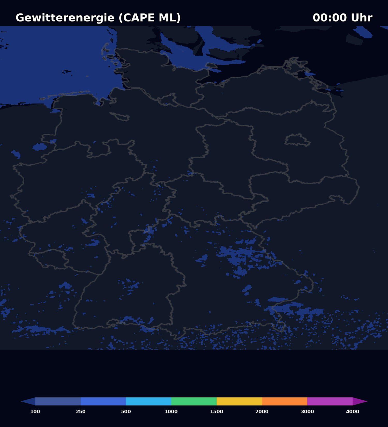
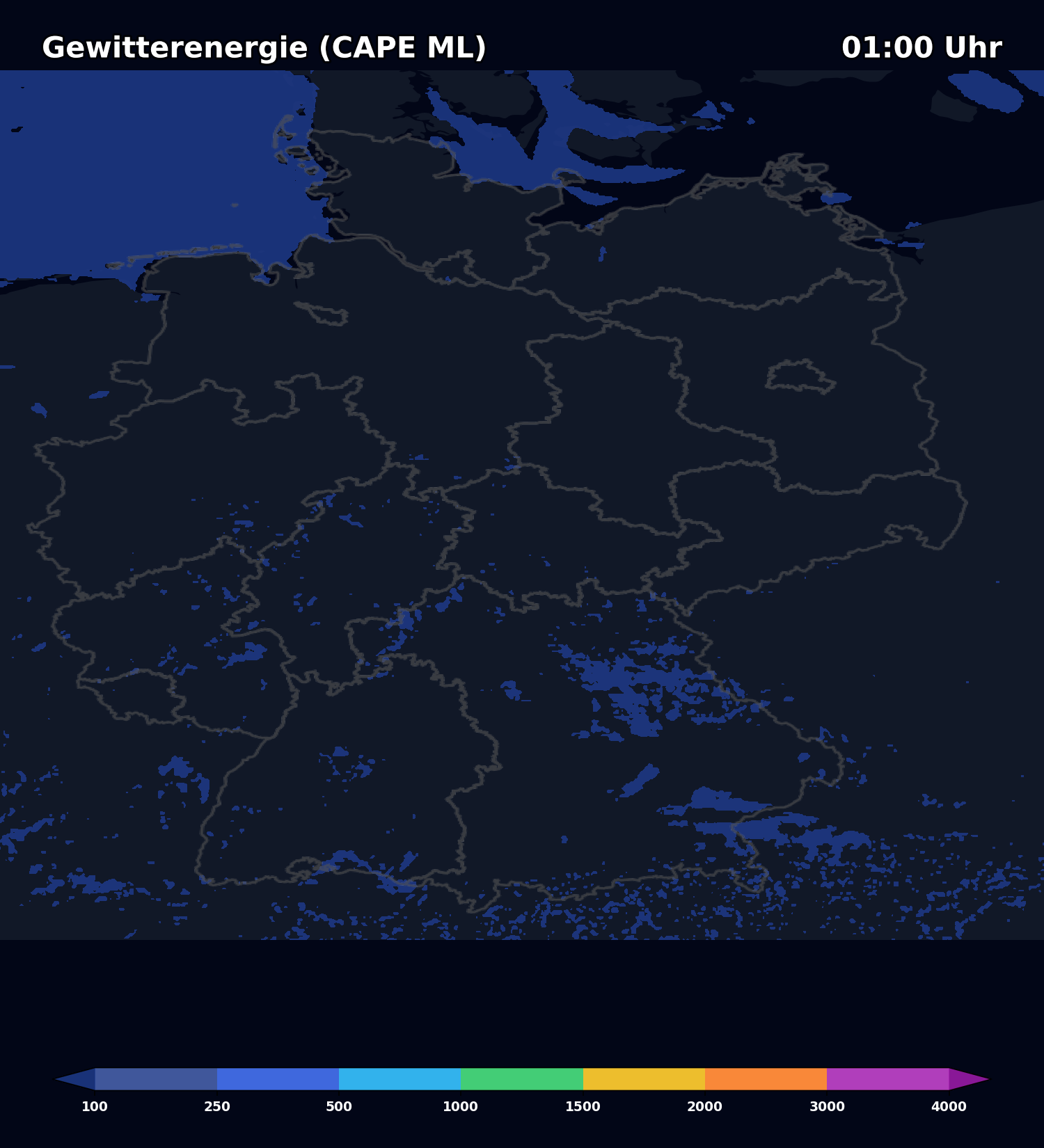
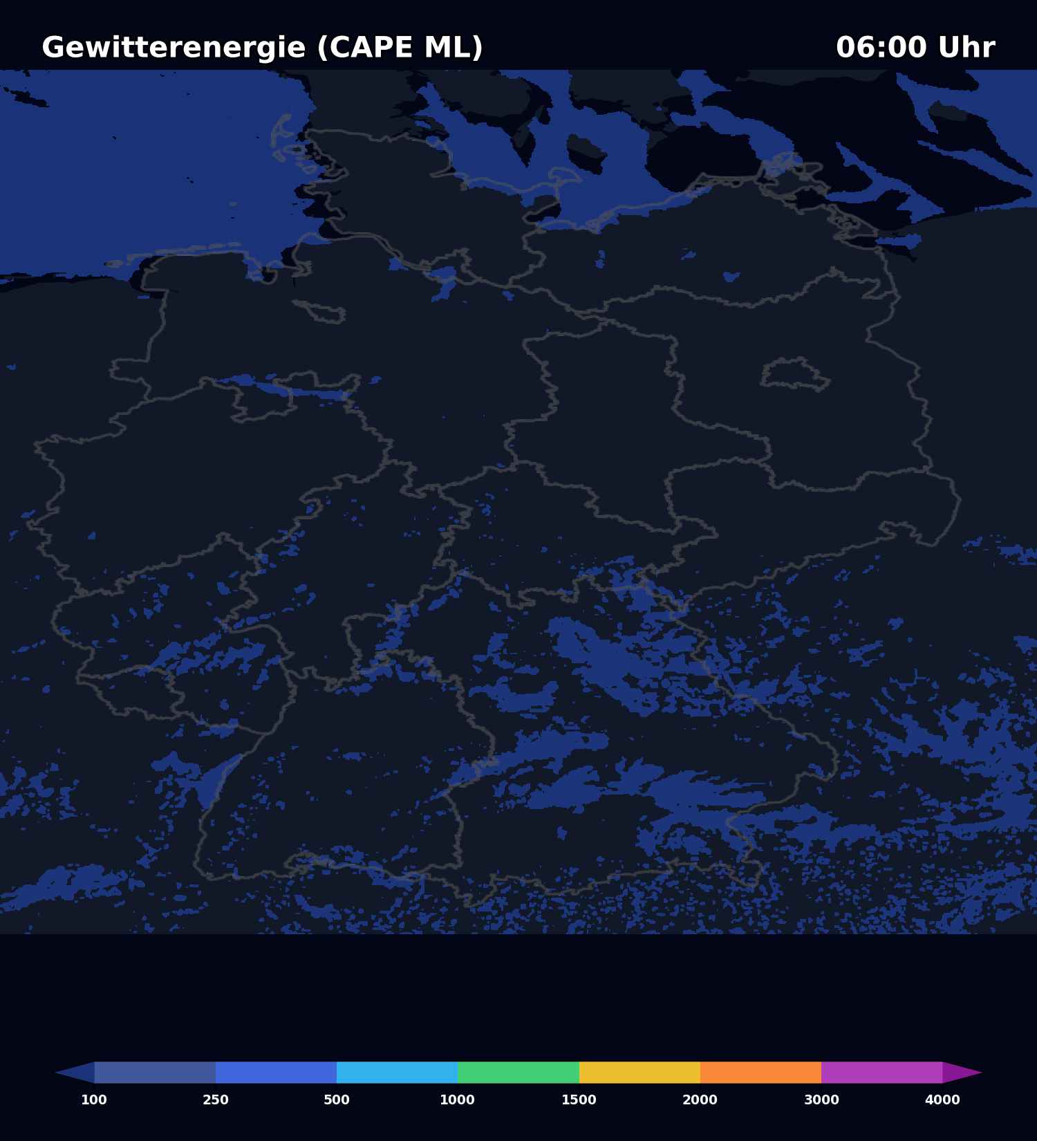
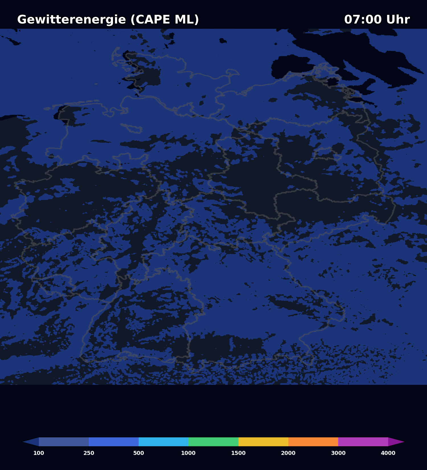
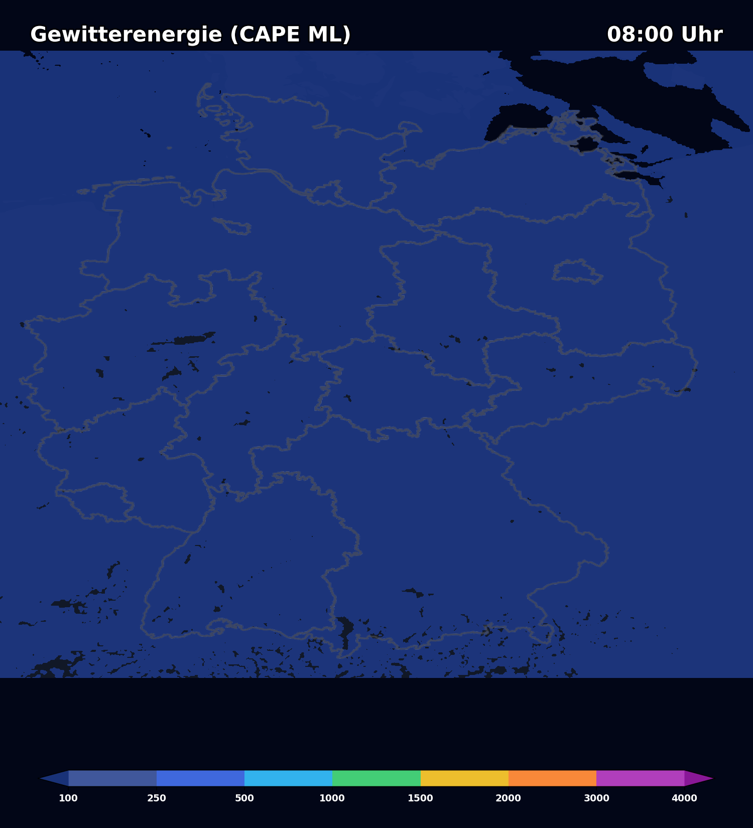

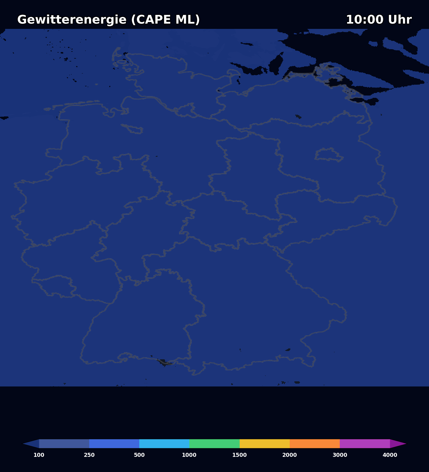


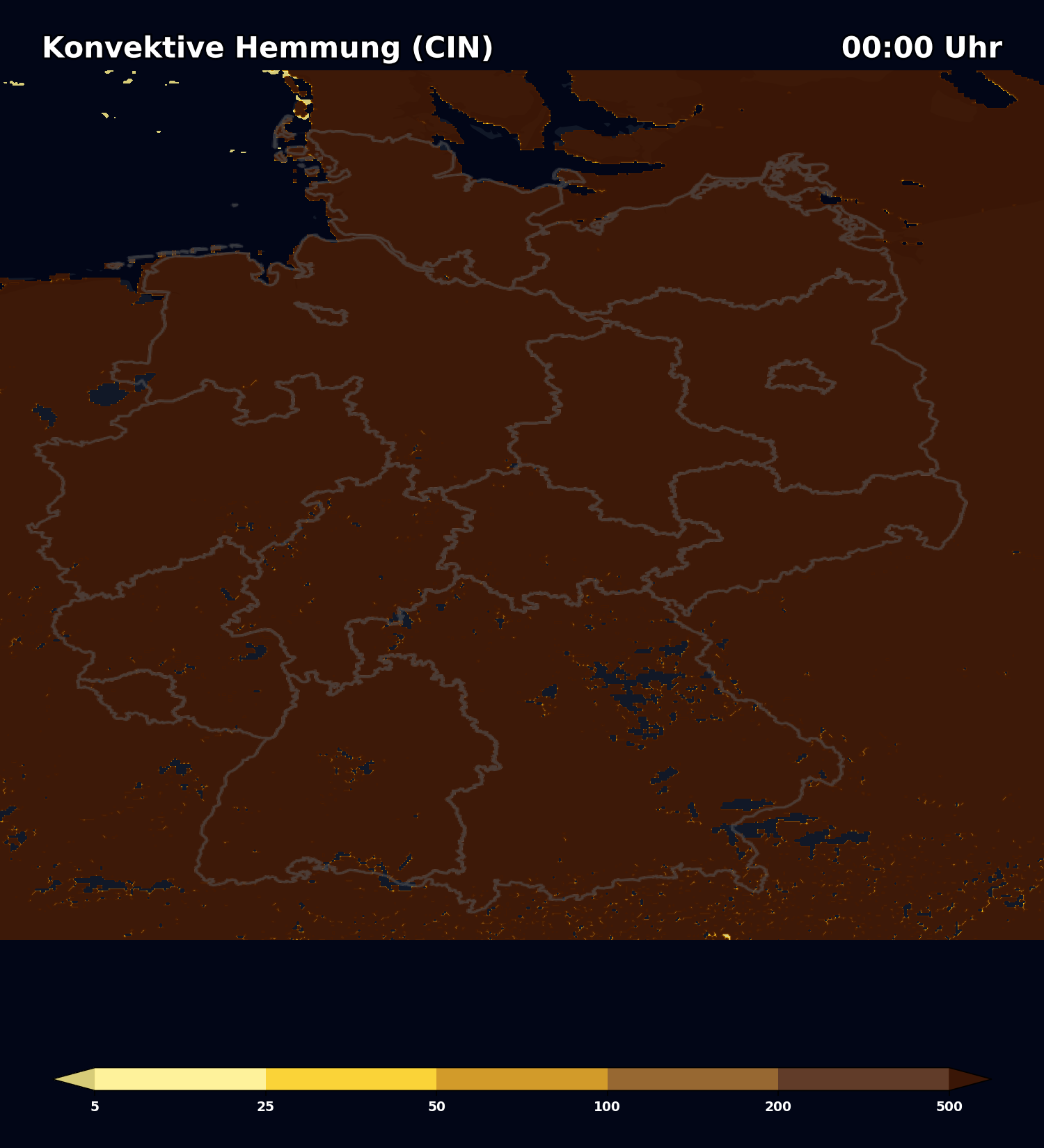
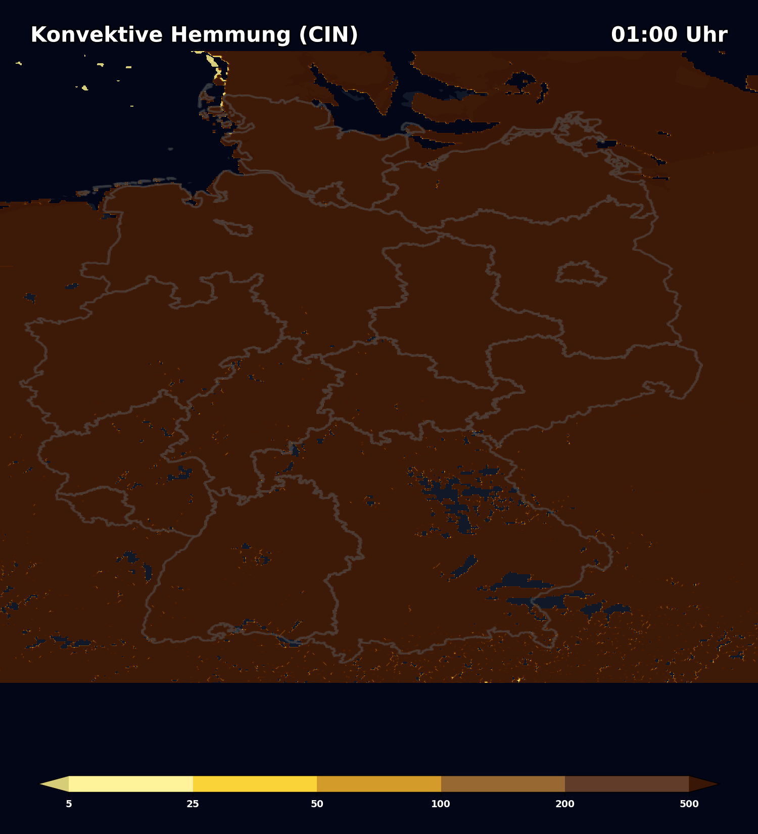

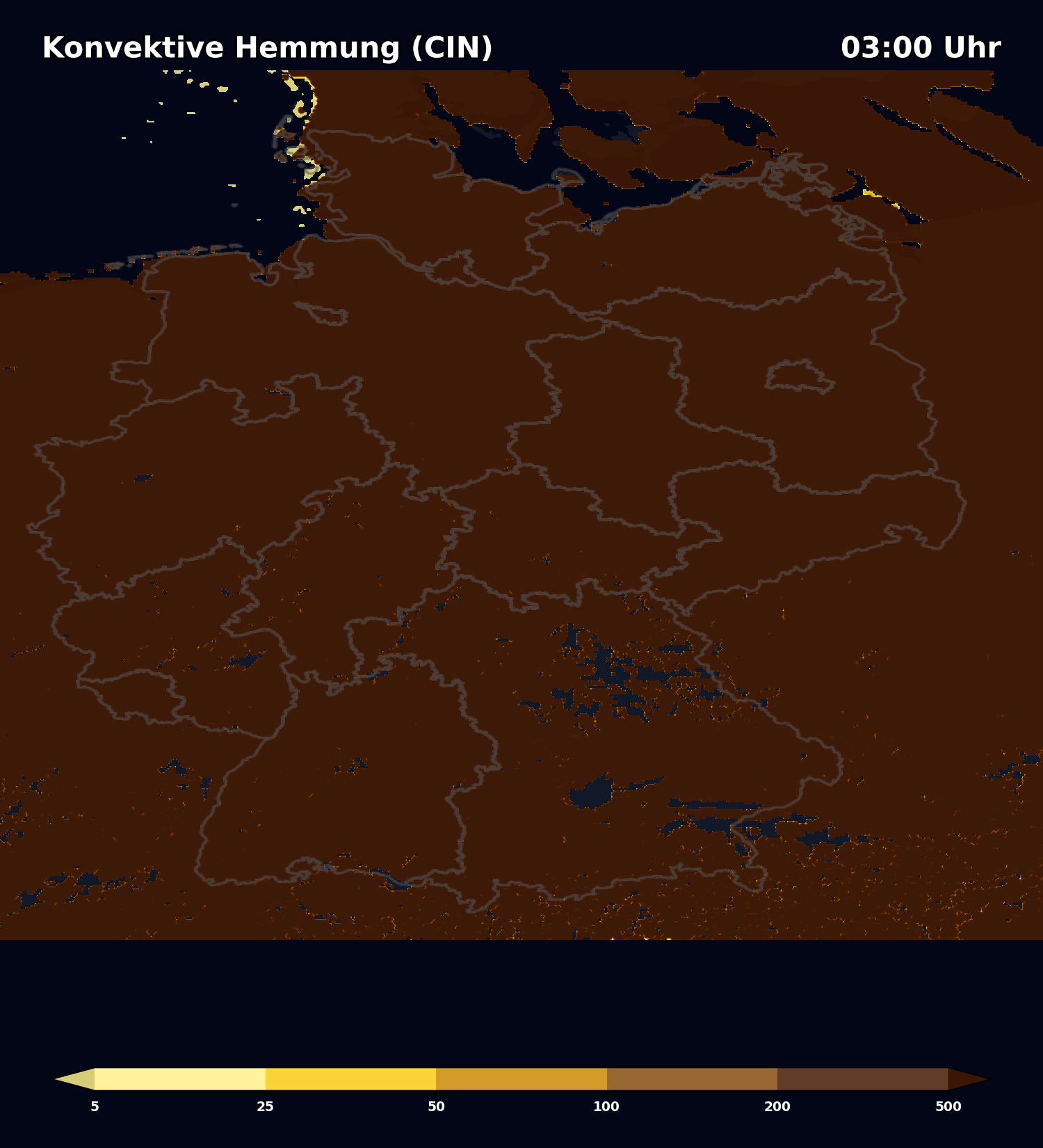
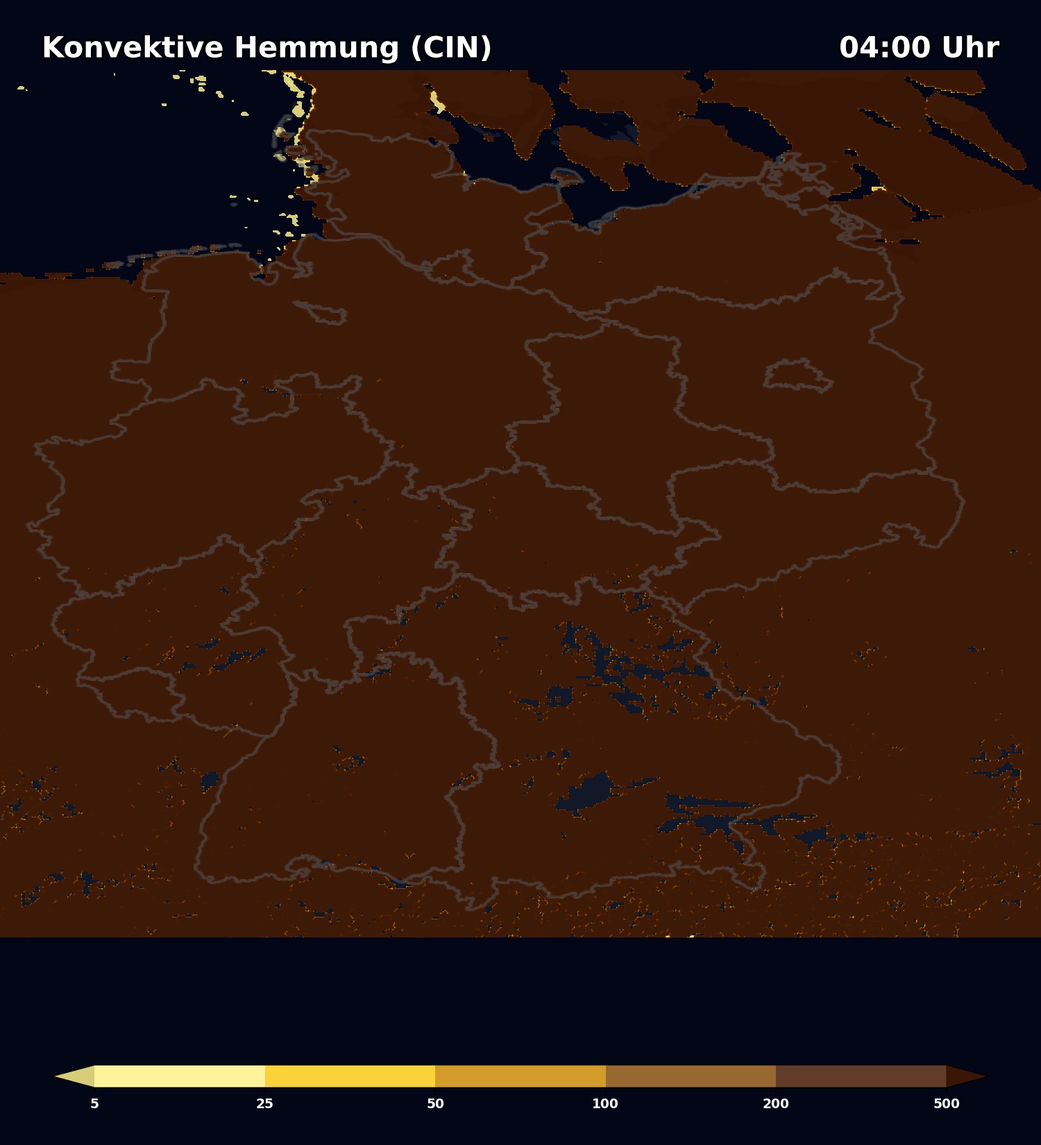


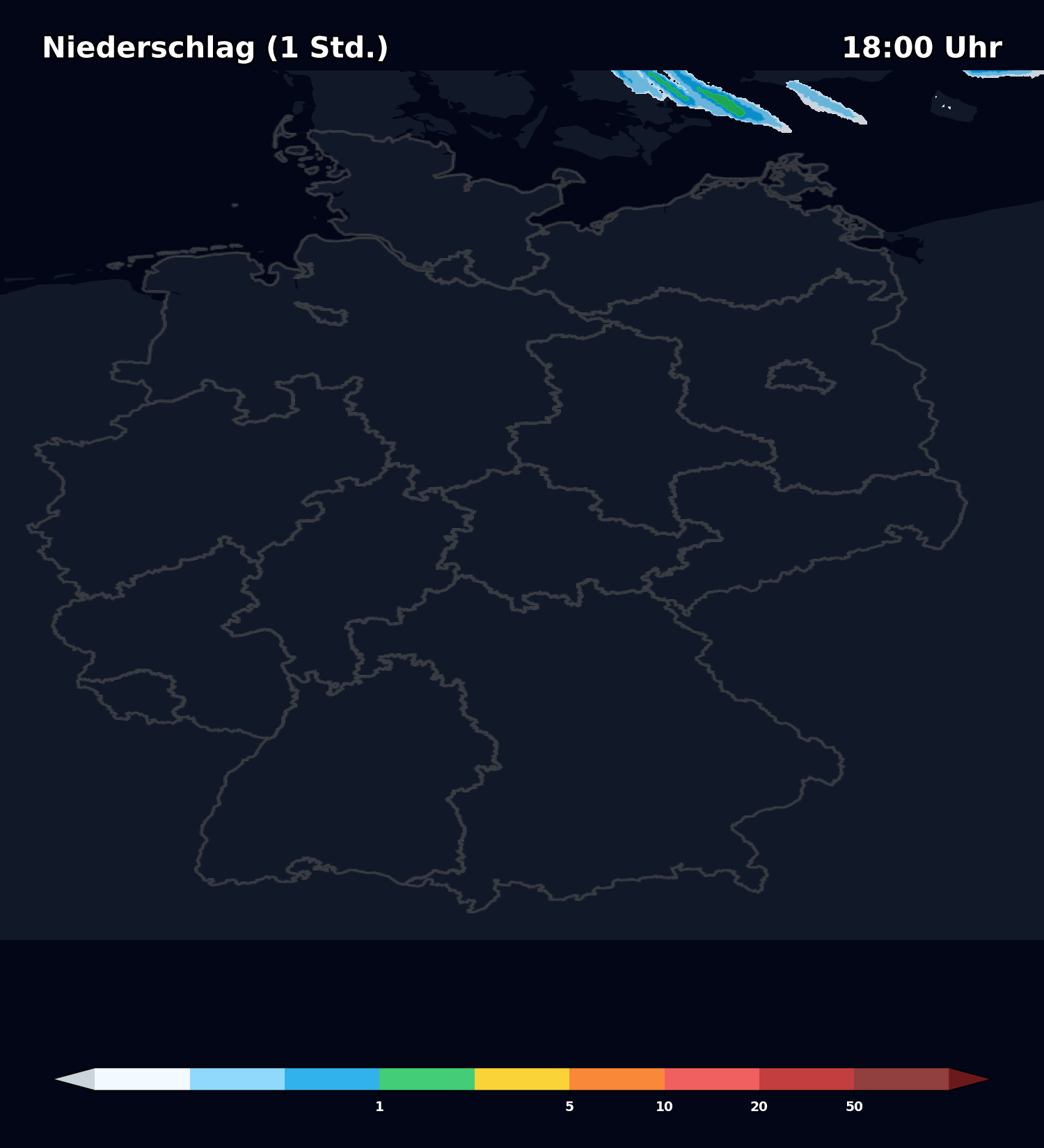
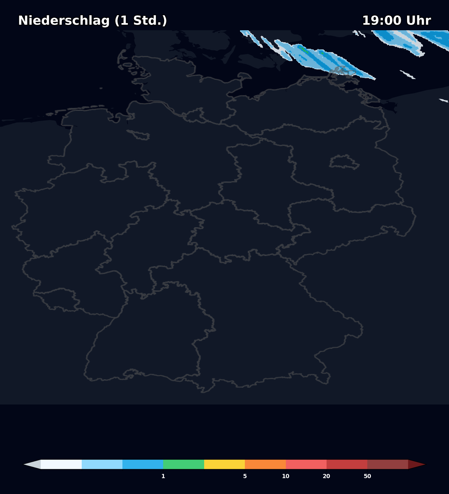
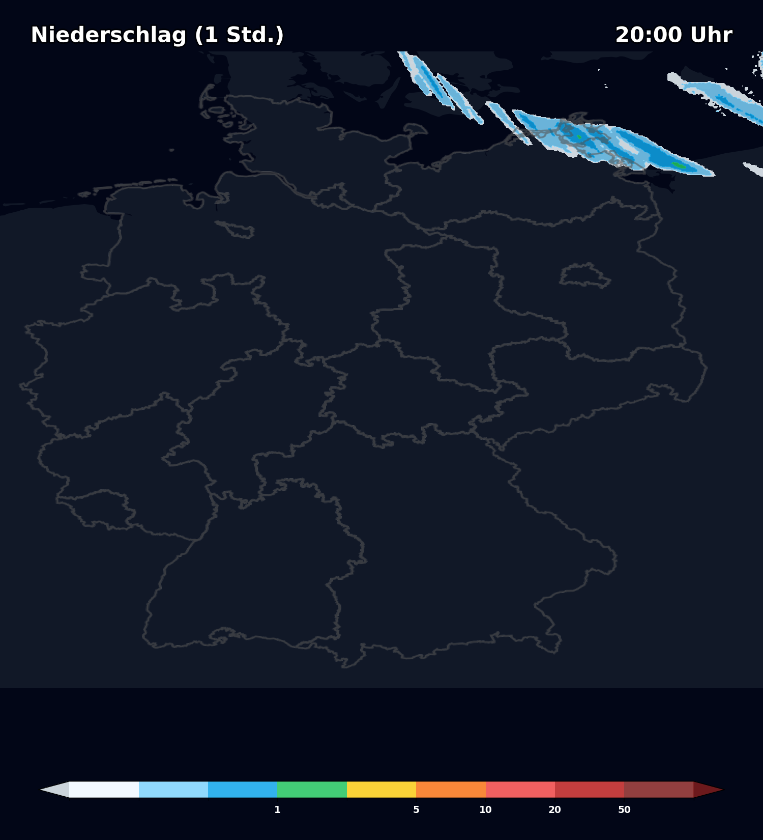
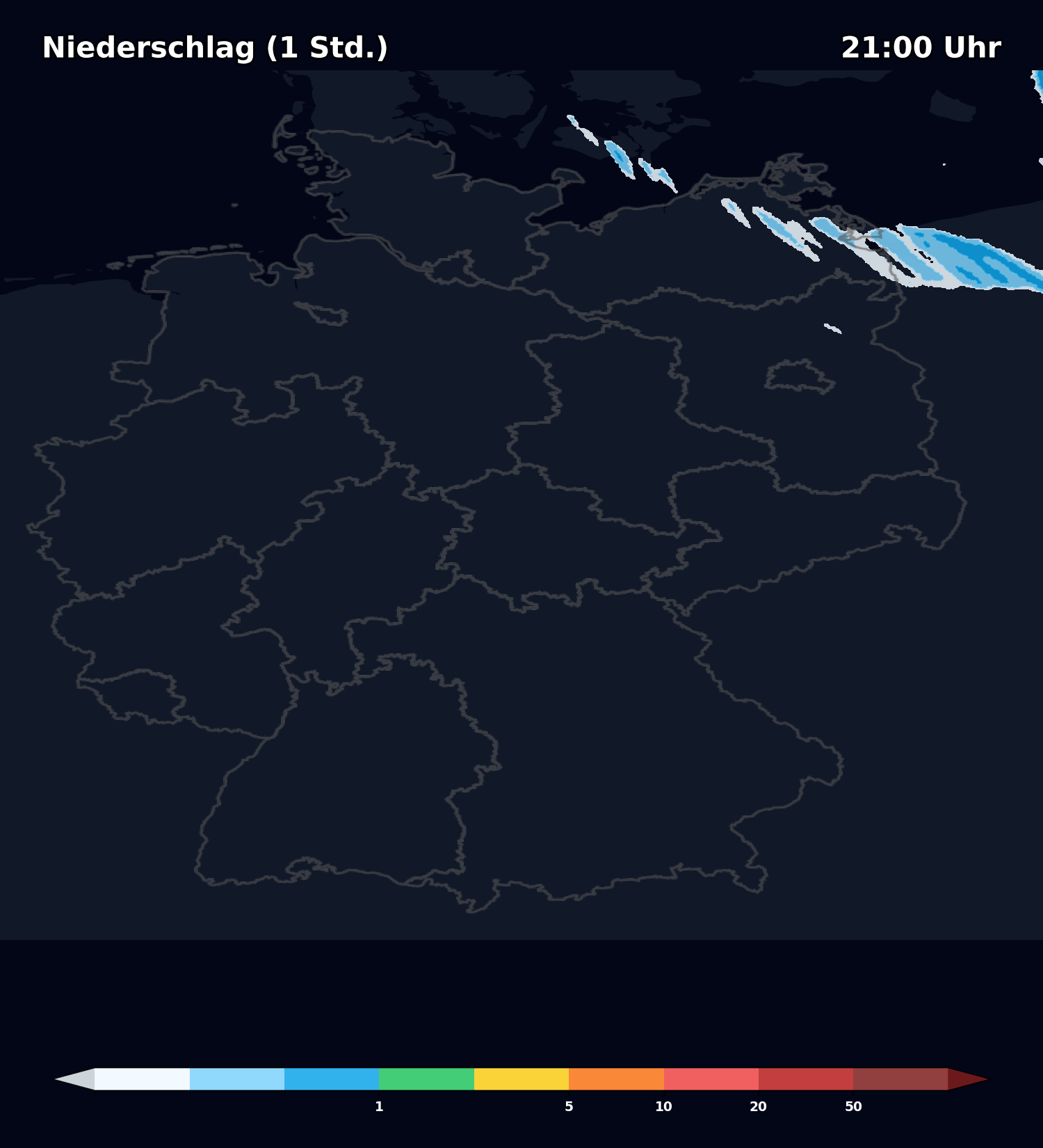


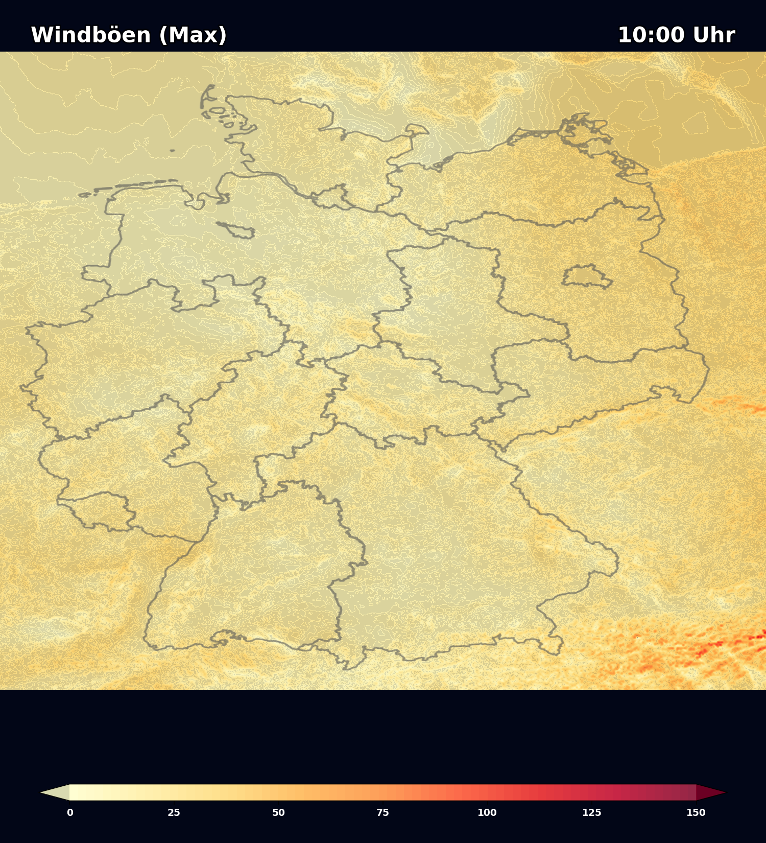
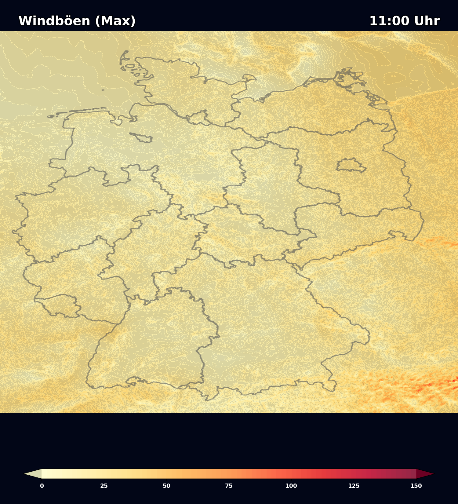
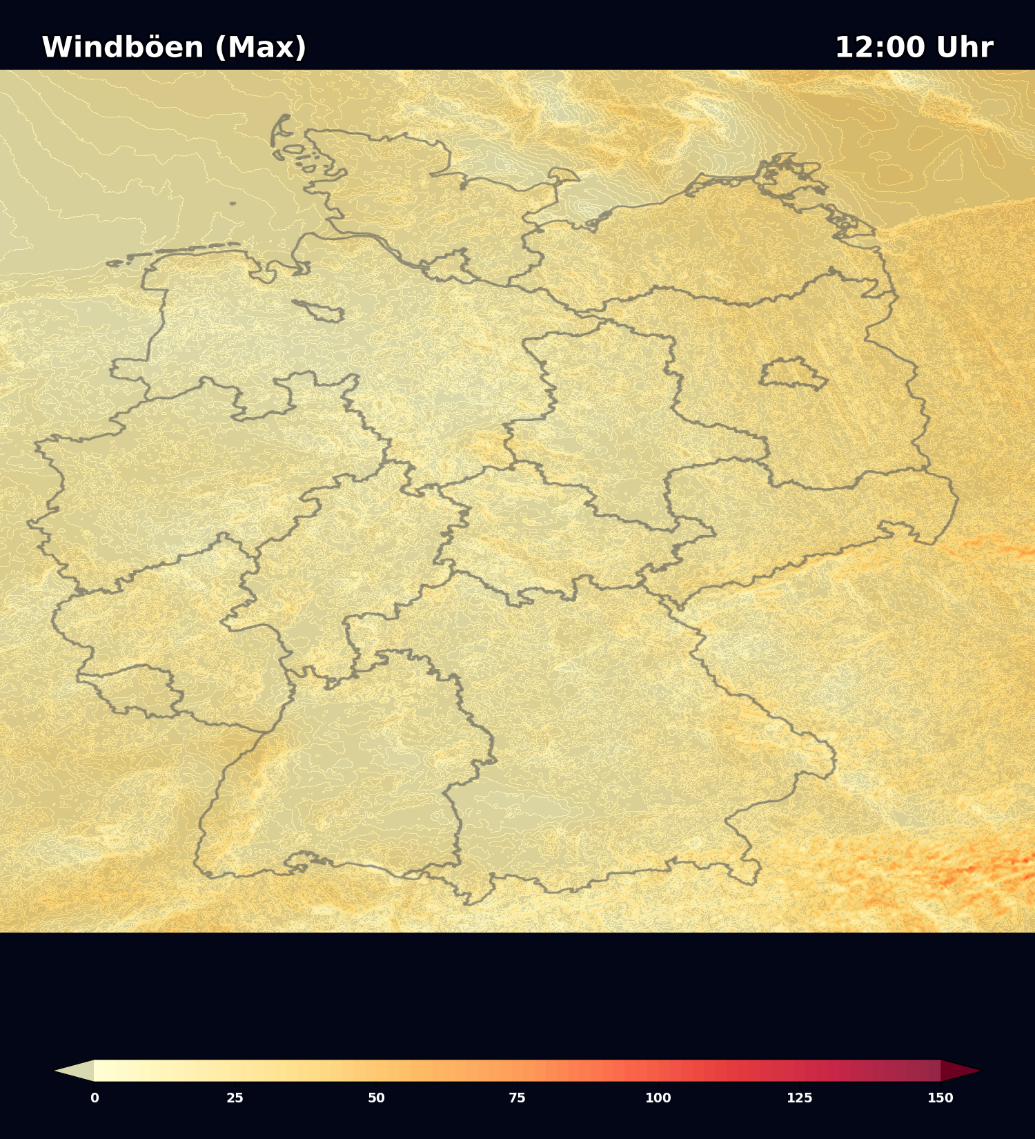


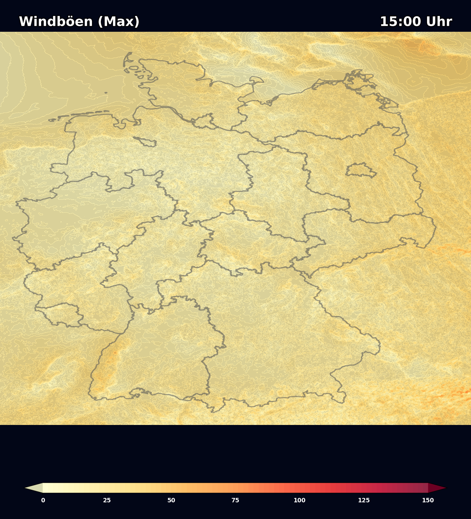
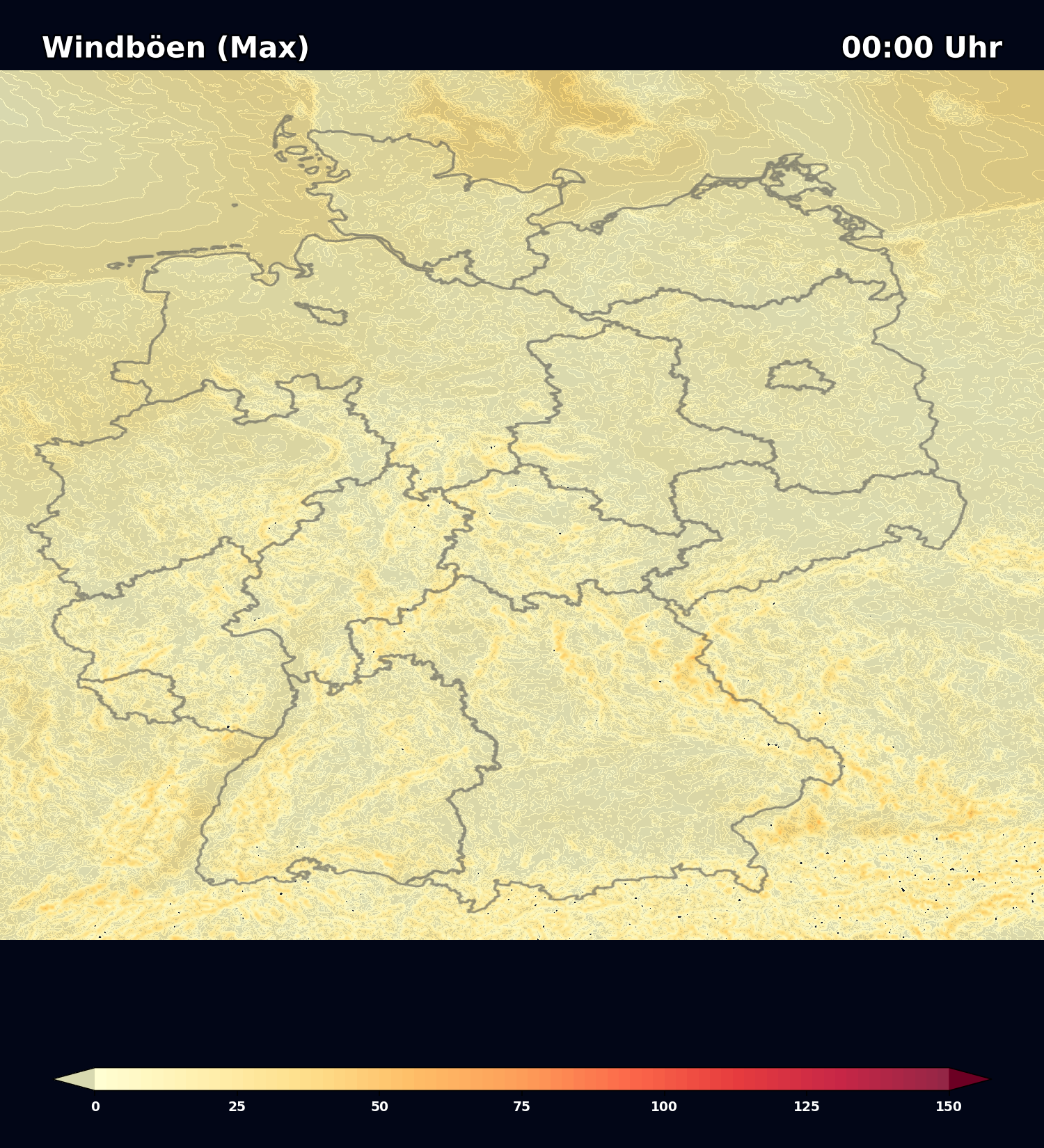
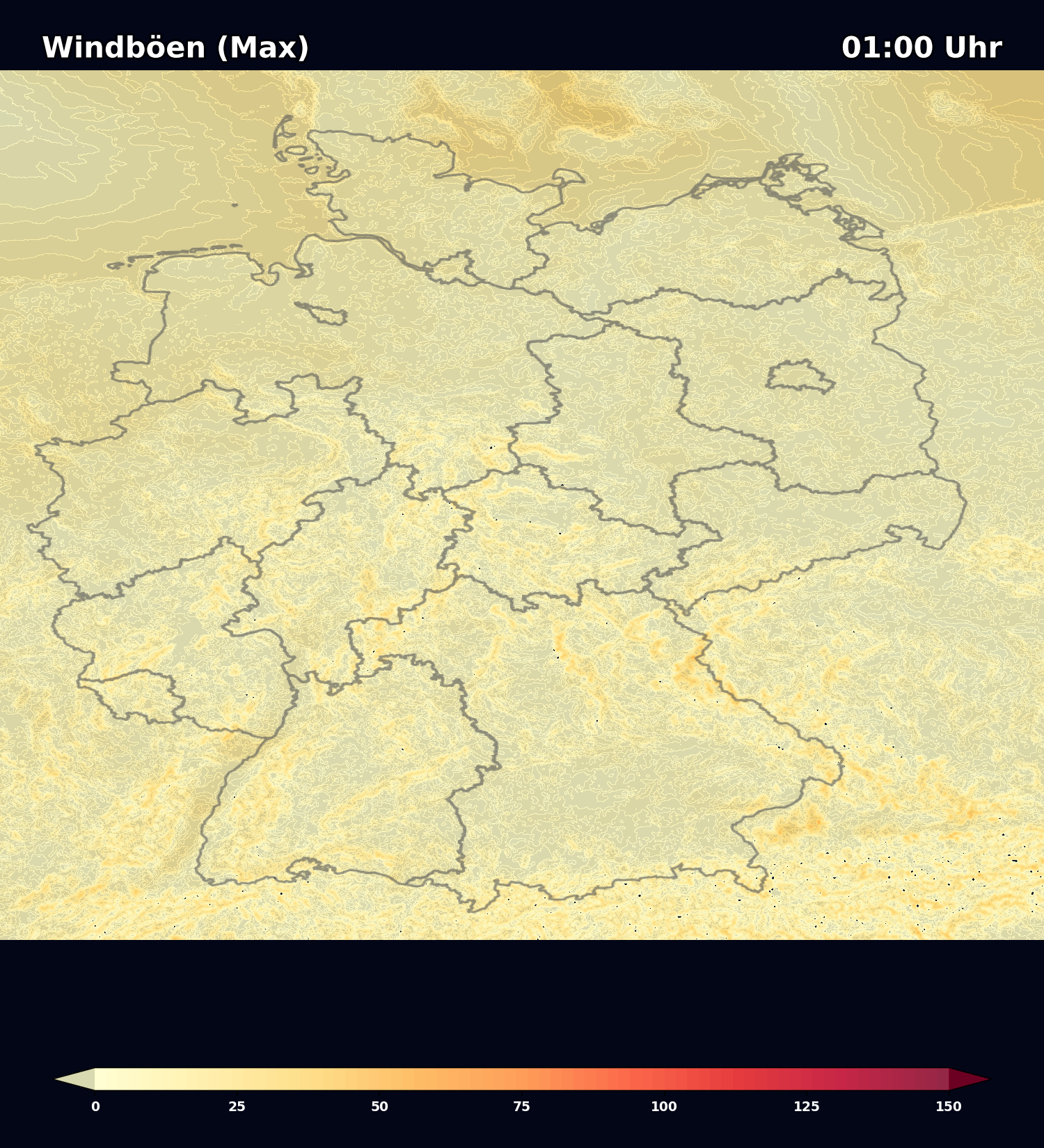
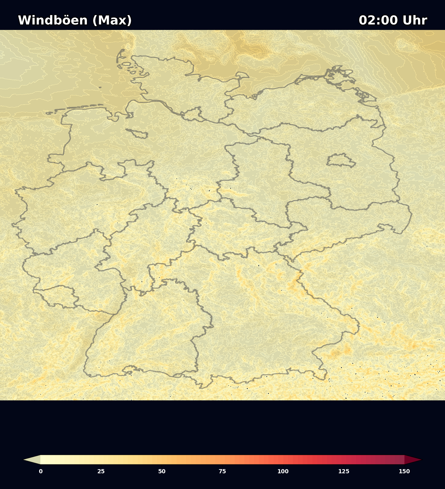
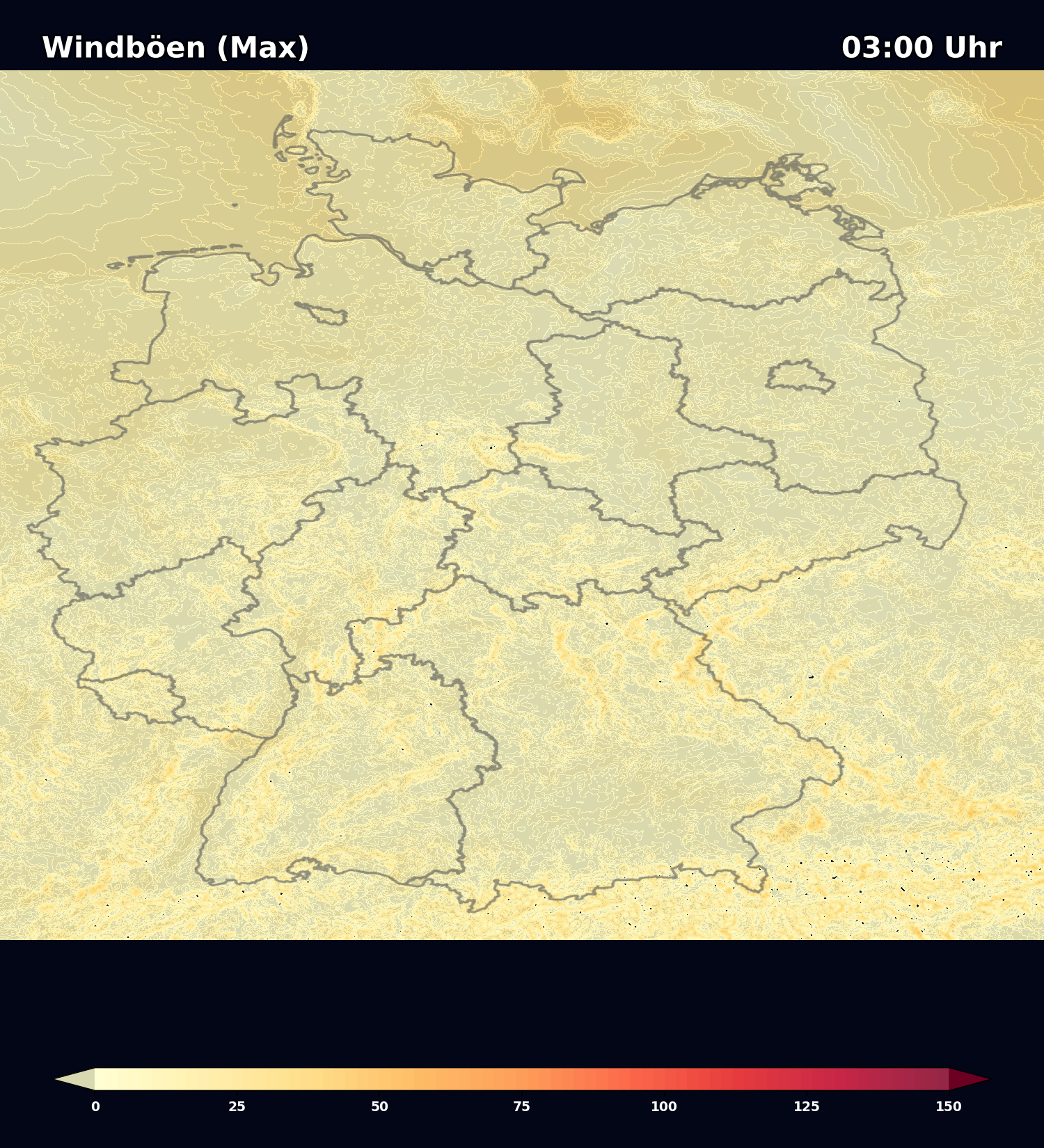
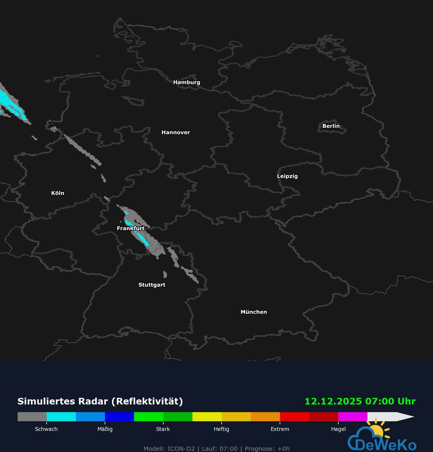
Datenquelle: Deutscher Wetterdienst (DWD) | Grafik: Deweko.org